Skip to content
Destinations
Weather & climate
Nature
Outdoors
Culture
Events
Sky & live
Plothener Teiche
Photo: Eugen.DE · CC BY-SA 3.0 · Wikimedia Commons
Plothener TeicheReport this photo · linked, not stored
Lichtenberg
Photo: Z thomas · CC BY-SA 3.0 · Wikimedia Commons
LichtenbergReport this photo · linked, not stored
Lichtenberg
Dohlenstein
Photo: OutcropWizard · CC BY-SA 4.0 · Wikimedia Commons
DohlensteinReport this photo · linked, not stored
Dohlenstein
LakePlothen, Thuringia

Plothener Teiche

Lake473 m elevationBest Jun · Aug–Sep
Elevation473 mabove sea level
Area0.6 km²surface
Nearest townPlothen2.0 km
50.65° N, 11.76° EElevation 473 mUTC+2 · Central European Summer Time
When to goPlothen · weather score
JanFebMarAprMayJunJulAugSepOctNovDec41October
Best timeJun · Aug–Sep
October: high / low13° / 5°
Lake

Plothener Teiche in brief

Plothener Teiche is a lake in Plothen, Thuringia, Germany.

It lies at 473 m above sea level and covers about 0.6 km².

The nearest town is Plothen, 2.0 km to the S, where the weather is best in June, August and September.

Plothen: weather and travel guide

Weather nearby now

Forecast for Plothen
11°
Showers now
Wind22 km/h
Humidity57%
Cloud cover64%
Today
23 Oct
12°
5°
1 mm
Sat
24 Oct
8°
3°
4 mm
Sun
25 Oct
11°
5°
11 mm
Mon
26 Oct
11°
5°
Tue
27 Oct
14°
6°
1 mm

Model run 12:00 UTCRefreshed several times a day

The lake's water

Surface, average depth and volume of the lake, and the length of its shore.
Surface0.6 km²
Average depth3 m
Volume2 million m³
Shoreline4.5 km
average depth 3 msurface at 473 m
When to go

The best months around Plothener Teiche

Climate of Plothen

Month score in Plothen

Comfort, dry days and sunshine · out of 100
16
Jan
24
Feb
23
Mar
50
Apr
63
May
66
Jun
64
Jul
68
Aug
72
Sep
41
Oct
20
Nov
13
Dec
Map

Plothener Teiche from above

Nature nearbyAll of Germany
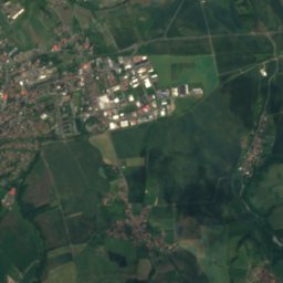
Satellite: Sentinel-2 cloudless 2016 by EOX IT Services GmbH · CC BY 4.0 · Contains modified Copernicus Sentinel data 2016
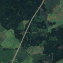
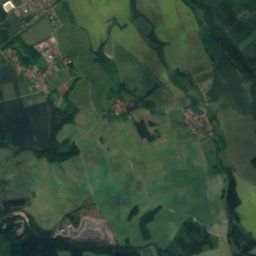
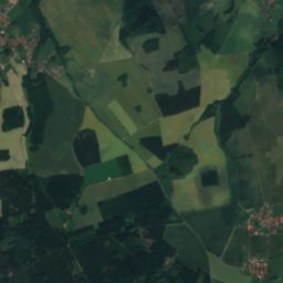
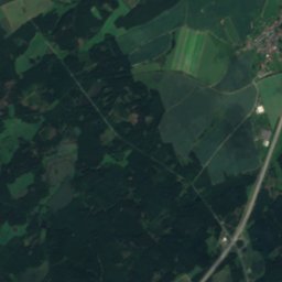
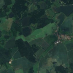
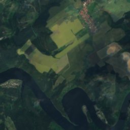
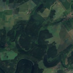
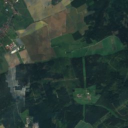
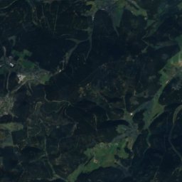
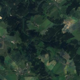
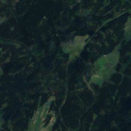
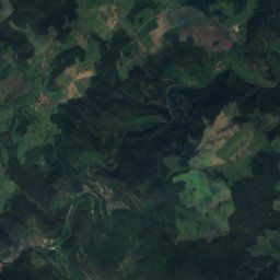
Alter Teich, ThuringiaLake0.7 kmWAlter Teich, Thuringia
Satellite: Sentinel-2 cloudless 2016 by EOX IT Services GmbH · CC BY 4.0 · Contains modified Copernicus Sentinel data 2016
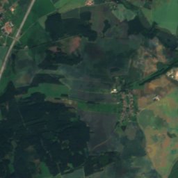
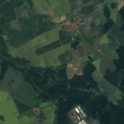
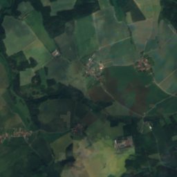
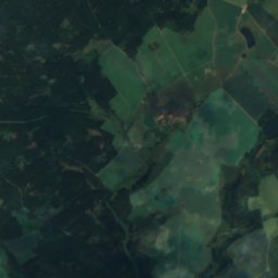
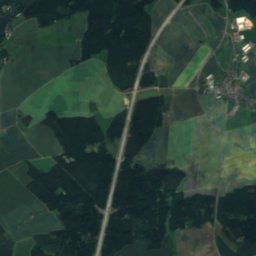
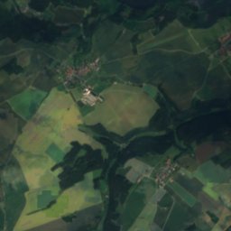
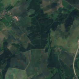
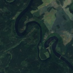
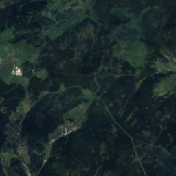
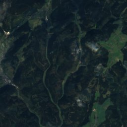
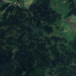
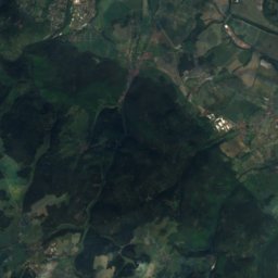
Moos-TeichLake0.7 kmWMoos-Teich
Satellite: Sentinel-2 cloudless 2016 by EOX IT Services GmbH · CC BY 4.0 · Contains modified Copernicus Sentinel data 2016
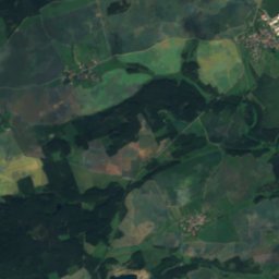
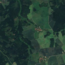
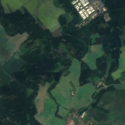
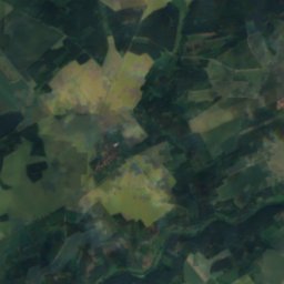
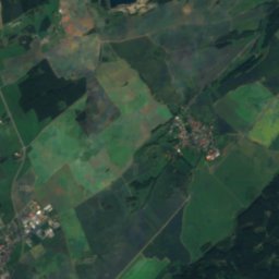
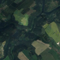
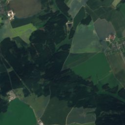
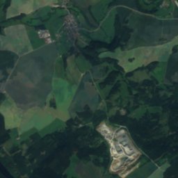
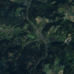
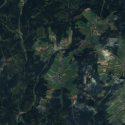
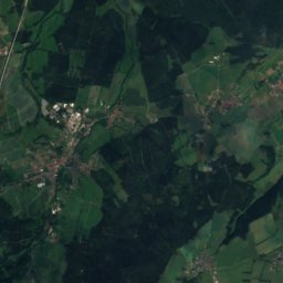
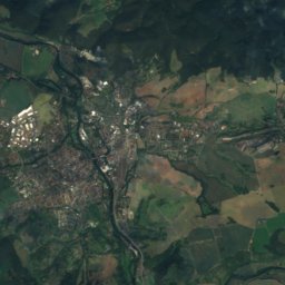
Fürsten-TeichLake0.8 kmNEFürsten-Teich
Satellite: Sentinel-2 cloudless 2016 by EOX IT Services GmbH · CC BY 4.0 · Contains modified Copernicus Sentinel data 2016
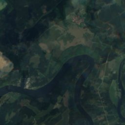
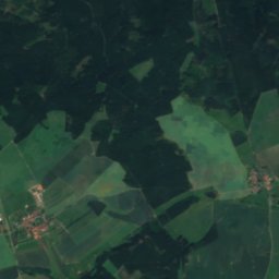
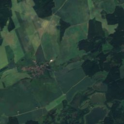
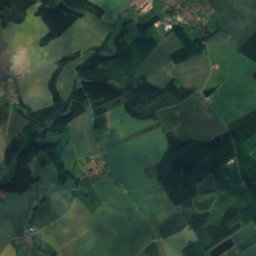
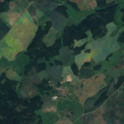
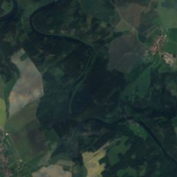
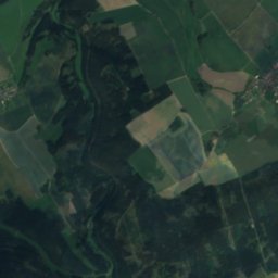
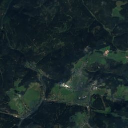
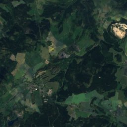
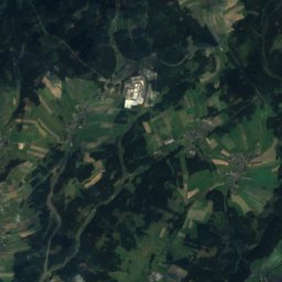
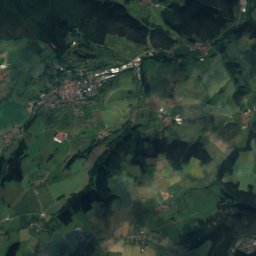
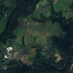
Mittel-TeichLake2.0 kmSMittel-Teich
Satellite: Sentinel-2 cloudless 2016 by EOX IT Services GmbH · CC BY 4.0 · Contains modified Copernicus Sentinel data 2016
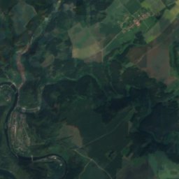
Mahl-Teich, PlothenLake2.7 kmSWMahl-Teich, Plothen
Satellite: Sentinel-2 cloudless 2016 by EOX IT Services GmbH · CC BY 4.0 · Contains modified Copernicus Sentinel data 2016
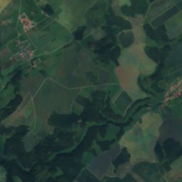
Großer PörmitzteichLake3.5 kmSEGroßer Pörmitzteich
Summits nearbyMountains of Germany
Photo: Z thomas · CC BY-SA 3.0 · Wikimedia CommonsReport this photo · linked, not stored
Lichtenberg20 km NW400 mJuly 24°Lichtenberg
Photo: OutcropWizard · CC BY-SA 4.0 · Wikimedia CommonsReport this photo · linked, not stored
Dohlenstein20 km NW366 mJuly 25°Dohlenstein
Stay nearby

Towns close by

Plothen
Photo: Aschroet · CC0 · Wikimedia CommonsReport this photo · linked, not stored

Plothen

Thuringia · 2.0 km S
13°Oct high
10wet days
41score
Plothen
Dittersdorf
Photo: Aschroet · CC0 · Wikimedia CommonsReport this photo · linked, not stored

Dittersdorf

Thuringia · 4.0 km E
13°Oct high
10wet days
40score
Dittersdorf
Volkmannsdorf
Photo: Aschroet · CC0 · Wikimedia CommonsReport this photo · linked, not stored

Volkmannsdorf

Thuringia · 4.8 km SW
13°Oct high
10wet days
42score
Volkmannsdorf
Moßbach
Photo: Aschroet · CC0 · Wikimedia CommonsReport this photo · linked, not stored

Moßbach

Thuringia · 5.4 km NE
13°Oct high
10wet days
44score
Moßbach
Around here

Plothen and around

Plothen
Photo: Aschroet · CC0 · Wikimedia CommonsReport this photo · linked, not stored

Plothen

Thuringia · Germany
Jun · Aug–Sepbest months
23°July high
484 maltitude
Plothen

Nature

Dürrbach, Thuringia
Photo: Falk Schilling · CC BY-SA 4.0 · Wikimedia CommonsReport this photo · linked, not stored
12 km NW

Dürrbach, Thuringia

River · 405 m
Dürrbach, Thuringia
Satellite: Sentinel-2 cloudless 2016 by EOX IT Services GmbH · CC BY 4.0 · Contains modified Copernicus Sentinel data 2016
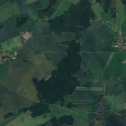
8.7 km SW

Wisenta

River
Wisenta
Talsperre Burgkhammer
Photo: Toni Wöhrl · CC BY-SA 4.0 · Wikimedia CommonsReport this photo · linked, not stored
11 km S

Talsperre Burgkhammer

Lake
Talsperre Burgkhammer

Mountains

Satellite: Sentinel-2 cloudless 2016 by EOX IT Services GmbH · CC BY 4.0 · Contains modified Copernicus Sentinel data 2016
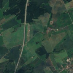
30 km SW

Wetzstein (Thuringia)

793 m · Franconian Forest
Wetzstein (Thuringia)
Satellite: Sentinel-2 cloudless 2016 by EOX IT Services GmbH · CC BY 4.0 · Contains modified Copernicus Sentinel data 2016
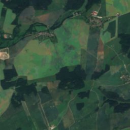
37 km W

Töpfersbühl

763 m · Thuringian Highland
Töpfersbühl
Satellite: Sentinel-2 cloudless 2016 by EOX IT Services GmbH · CC BY 4.0 · Contains modified Copernicus Sentinel data 2016
40 km W

Aßberg

703 m · Thuringian Highland
Aßberg

Heritage

St. Peter and Paul (Pahnstangen)
Photo: Subbass1 · CC BY-SA 4.0 · Wikimedia CommonsReport this photo · linked, not stored
2.1 km S

St. Peter and Paul (Pahnstangen)

Heritage monument in Thuringia
St. Peter and Paul (Pahnstangen)
Bleiloch Dam
Photo: JøMa · CC BY-SA 3.0 · Wikimedia CommonsReport this photo · linked, not stored
13 km S

Bleiloch Dam

Kulturdenkmal · 1925
Bleiloch Dam
Ranis
Photo: Michael Sander · CC BY-SA 3.0 · Wikimedia CommonsReport this photo · linked, not stored
15 km W

Ranis

architectural heritage monument · 1000
Ranis

Museums

Rathaus Pößneck
Photo: Peter Schmelzle · CC BY-SA 3.0 · Wikimedia CommonsReport this photo · linked, not stored
14 km NW

Rathaus Pößneck

Rathaus Pößneck
Wasserkraftmuseum Ziegenrück
Photo: Uvi72 · CC BY-SA 4.0 · Wikimedia CommonsReport this photo · linked, not stored
8.9 km W

Wasserkraftmuseum Ziegenrück

Technology museum
Wasserkraftmuseum Ziegenrück
Museum für Stadtgeschichte Neustadt an der Orla
Photo: Tilman2007 · CC BY-SA 4.0 · Wikimedia CommonsReport this photo · linked, not stored
12 km N

Museum für Stadtgeschichte Neustadt an der Orla

City museum · 1992
Museum für Stadtgeschichte Neustadt an der Orla