Skip to content
Destinations
Weather & climate
Nature
Outdoors
Culture
Events
Sky & live
Plane
Photo: Hans-Joachim Fröde · CC BY-SA 3.0 · Wikimedia Commons
PlaneReport this photo · linked, not stored
Breitlingsee
Photo: Gregor Rom · CC BY-SA 4.0 · Wikimedia Commons
BreitlingseeReport this photo · linked, not stored
Breitlingsee
Temnitz (Plane)
Photo: Lienhard Schulz · CC BY-SA 3.0 · Wikimedia Commons
Temnitz (Plane)Report this photo · linked, not stored
Temnitz (Plane)
Quenzsee
Photo: Kotofeij K. Bajun · Public domain · Wikimedia Commons
QuenzseeReport this photo · linked, not stored
Quenzsee
Götzer-Berg
Photo: Gregor Rom · CC BY-SA 4.0 · Wikimedia Commons
Götzer-BergReport this photo · linked, not stored
Götzer-Berg
RiverBrandenburg an der Havel, Brandenburg

Plane

RiverBest May · Aug–Sep
Elevation–above sea level
Length61 kmsource to mouth
Nearest townBrandenburg an der Havel5.2 km
52.38° N, 12.49° EUTC+1 · Central European Standard Time
When to goBrandenburg an der Havel · weather score
JanFebMarAprMayJunJulAugSepOctNovDec49October
Best timeMay · Aug–Sep
October: high / low14° / 6°
River

Plane in brief

Plane is a river in Brandenburg an der Havel, Brandenburg, Germany.

The nearest town is Brandenburg an der Havel, 5.2 km to the NE, where the weather is best in May, August and September.

Plane is 61 km long.

Brandenburg an der Havel: weather and travel guide

Weather nearby now

Forecast for Brandenburg an der Havel
9°
Cloudy now
Wind23 km/h
Humidity67%
Cloud cover81%
Today
25 Oct
14°
8°
Mon
26 Oct
14°
6°
Tue
27 Oct
16°
6°
Wed
28 Oct
15°
6°
1 mm
Thu
29 Oct
12°
5°
4 mm

Model run 12:00 UTCRefreshed several times a day

The course of the river

As mapped in OpenStreetMap, with the towns along its banks.
1
  1. 1Golzow42 m
sourcemouth (or where the mapped line leaves the country)
When to go

The best months around Plane

Climate of Brandenburg an der Havel

Month score in Brandenburg an der Havel

Comfort, dry days and sunshine · out of 100
Map

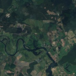
Plane from above

Nature nearbyAll of Germany
Photo: Gregor Rom · CC BY-SA 4.0 · Wikimedia CommonsReport this photo · linked, not stored
BreitlingseeLake1.0 kmWBreitlingsee
Photo: Lienhard Schulz · CC BY-SA 3.0 · Wikimedia CommonsReport this photo · linked, not stored
Temnitz (Plane)River1.1 kmETemnitz (Plane)
Satellite: Sentinel-2 cloudless 2016 by EOX IT Services GmbH · CC BY 4.0 · Contains modified Copernicus Sentinel data 2016
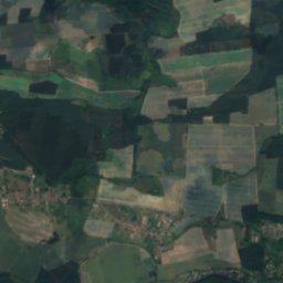
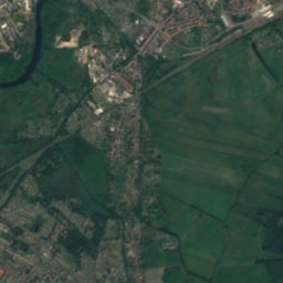
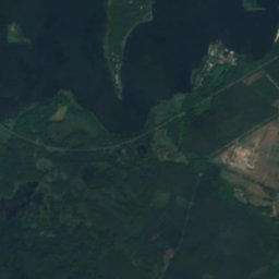
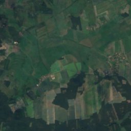
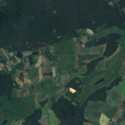
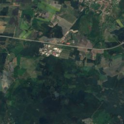
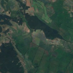
KanincheninselIsland1.5 kmSWKanincheninsel
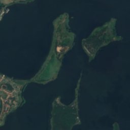
Satellite: Sentinel-2 cloudless 2016 by EOX IT Services GmbH · CC BY 4.0 · Contains modified Copernicus Sentinel data 2016
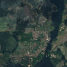
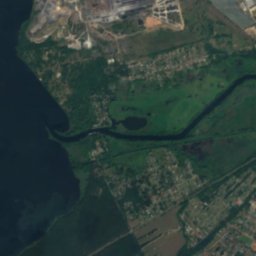
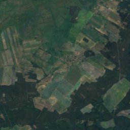
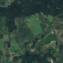
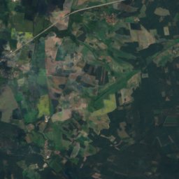
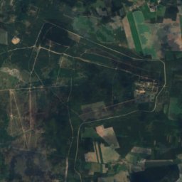
BuhnenwerderIsland1.9 kmNWBuhnenwerder
Satellite: Sentinel-2 cloudless 2016 by EOX IT Services GmbH · CC BY 4.0 · Contains modified Copernicus Sentinel data 2016
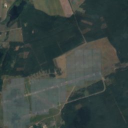
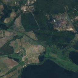
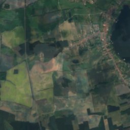
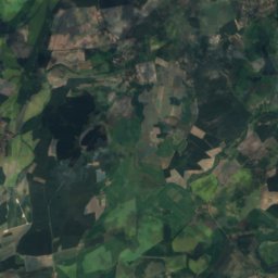
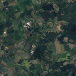
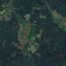
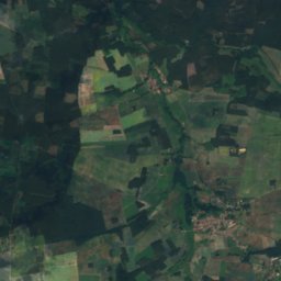
KiehnwerderIsland2.6 kmWKiehnwerder
Photo: Kotofeij K. Bajun · Public domain · Wikimedia CommonsReport this photo · linked, not stored
QuenzseeLake2.7 kmNQuenzsee
Summits nearbyMountains of Germany
Photo: Gregor Rom · CC BY-SA 4.0 · Wikimedia CommonsReport this photo · linked, not stored
Götzer-Berg17 km E109 mJuly 25°Götzer-Berg
Photo: Gregor Rom · CC BY-SA 4.0 · Wikimedia CommonsReport this photo · linked, not stored
Schwarzerberg11 km N89 mJuly 25°Schwarzerberg
Photo: Gregor Rom · CC BY-SA 4.0 · Wikimedia CommonsReport this photo · linked, not stored
Gollwitzer Berg14 km W86 mJuly 25°Gollwitzer Berg
Photo: Gregor Rom · CC BY-SA 4.0 · Wikimedia CommonsReport this photo · linked, not stored
Marienberg (Brandenburg an der Havel)5.0 km NE69 mJuly 25°Marienberg (Brandenburg an der Havel)
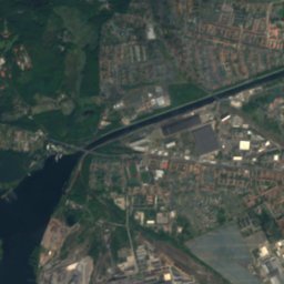
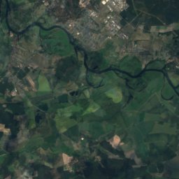
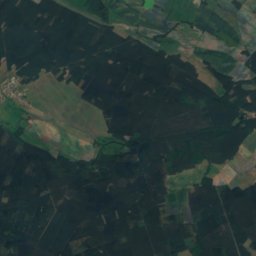
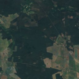
Satellite: Sentinel-2 cloudless 2016 by EOX IT Services GmbH · CC BY 4.0 · Contains modified Copernicus Sentinel data 2016
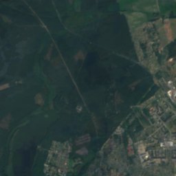
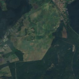
Gallberg, Brandenburg11 km N68 mJuly 25°Gallberg, Brandenburg
Photo: Gregor Rom · CC BY-SA 4.0 · Wikimedia CommonsReport this photo · linked, not stored
Friedens-Berg11 km SW68 mJuly 25°Friedens-Berg
Stay nearby

Towns close by

Brandenburg an der Havel
Photo: Queryzo derivative work:Regi51 · CC BY-SA 4.0 · Wikimedia CommonsReport this photo · linked, not stored

Brandenburg an der Havel

Brandenburg · 5.2 km NE
14°Oct high
11wet days
49score
Brandenburg an der Havel
Wusterwitz
Photo: Reise Reise · CC BY-SA 3.0 · Wikimedia CommonsReport this photo · linked, not stored

Wusterwitz

Brandenburg · 7.6 km W
14°Oct high
11wet days
50score
Wusterwitz
Wenzlow
Photo: Clemensfranz · CC BY-SA 3.0 · Wikimedia CommonsReport this photo · linked, not stored

Wenzlow

Brandenburg · 9.9 km S
14°Oct high
11wet days
50score
Wenzlow
Bensdorf
Photo: Gregor Rom · CC BY-SA 4.0 · Wikimedia CommonsReport this photo · linked, not stored

Bensdorf

Brandenburg · 11 km W
14°Oct high
11wet days
49score
Bensdorf
Around here

Brandenburg an der Havel and around

Brandenburg an der Havel
Photo: Queryzo derivative work:Regi51 · CC BY-SA 4.0 · Wikimedia CommonsReport this photo · linked, not stored

Brandenburg an der Havel

Brandenburg · Germany
May · Aug–Sepbest months
25°July high
57 maltitude
Brandenburg an der Havel

Nature

Breitlingsee
Photo: Gregor Rom · CC BY-SA 4.0 · Wikimedia CommonsReport this photo · linked, not stored
6.0 km SW

Breitlingsee

Lake · 26 m
Breitlingsee
Beetzsee
Photo: Carsten Steger · CC BY-SA 4.0 · Wikimedia CommonsReport this photo · linked, not stored
3.4 km N

Beetzsee

Lake · 25 m
Beetzsee
Quenzsee
Photo: Kotofeij K. Bajun · Public domain · Wikimedia CommonsReport this photo · linked, not stored
4.5 km W

Quenzsee

Lake · 26 m
Quenzsee

Mountains

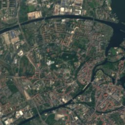
Satellite: Sentinel-2 cloudless 2016 by EOX IT Services GmbH · CC BY 4.0 · Contains modified Copernicus Sentinel data 2016
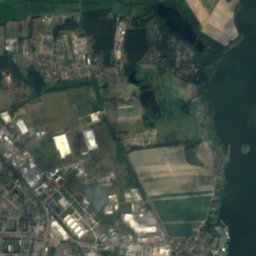
31 km S

Hagelberg

200 m · Fläming Heath
Hagelberg
Wietkikenberg
Photo: Lienhard Schulz · CC BY-SA 3.0 · Wikimedia CommonsReport this photo · linked, not stored
30 km SE

Wietkikenberg

125 m
Wietkikenberg
Kleiner Ravensberg
Photo: Botaurus · Public domain · Wikimedia CommonsReport this photo · linked, not stored
36 km E

Kleiner Ravensberg

114 m
Kleiner Ravensberg

Heritage

St. Catherine's church Brandenburg
Photo: Mathias Krumbholz · CC BY-SA 3.0 · Wikimedia CommonsReport this photo · linked, not stored
1.2 km SE

St. Catherine's church Brandenburg

architectural heritage monument in Brandenburg · 1400
St. Catherine's church Brandenburg
Dom St.Peter und Paul in Brandenburg
Photo: A.Savin · FAL · Wikimedia CommonsReport this photo · linked, not stored
1.2 km E

Dom St.Peter und Paul in Brandenburg

architectural heritage monument · 1165
Dom St.Peter und Paul in Brandenburg
St. Gotthardt church Brandenburg
Photo: Gregor Rom · CC BY-SA 4.0 · Wikimedia CommonsReport this photo · linked, not stored
0.4 km E

St. Gotthardt church Brandenburg

architectural heritage monument in Brandenburg · 1456
St. Gotthardt church Brandenburg

Museums

Archäologisches Landesmuseum Brandenburg
Photo: Sommer · CC BY-SA 3.0 · Wikimedia CommonsReport this photo · linked, not stored
1.5 km SE

Archäologisches Landesmuseum Brandenburg

2008
Archäologisches Landesmuseum Brandenburg
Historischer Hafen Brandenburg
Photo: Gregor Rom · CC BY-SA 4.0 · Wikimedia CommonsReport this photo · linked, not stored
0.7 km SE

Historischer Hafen Brandenburg

2005
Historischer Hafen Brandenburg
Satellite: Sentinel-2 cloudless 2016 by EOX IT Services GmbH · CC BY 4.0 · Contains modified Copernicus Sentinel data 2016
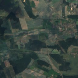
0.8 km S

Slawendorf Brandenburg an der Havel

Open-air museum
Slawendorf Brandenburg an der Havel