
Photo: © Freak-Line-Community / Wikimedia Commons · CC BY-SA 3.0 · Wikimedia Commons
PfefferReport this photo · linked, not stored
PfefferReport this photo · linked, not stored
 Itzelberger See

Photo: © Freak-Line-Community / Wikimedia Commons · CC BY-SA 3.0 · Wikimedia Commons
Ziegelbach, Baden-WurttembergReport this photo · linked, not stored
Ziegelbach, Baden-WurttembergZiegelbach, Baden-WurttembergReport this photo · linked, not stored
 Kocher

Photo: Freak-Line-Community · Public domain · Wikimedia Commons
Roter KocherReport this photo · linked, not stored
Roter KocherRoter KocherReport this photo · linked, not stored
RiverKönigsbronn, Baden-Wurttemberg
Pfeffer
RiverBest Jul–Sep
Elevation–above sea level
Length450 msource to mouth
Nearest townKönigsbronn0.7 km
48.74° N, 10.12° EUTC+1 · Central European Standard Time
When to goKönigsbronn · weather score
Best timeJul–Sep
October: high / low13° / 5°
River
Pfeffer in brief
Pfeffer is a river in Königsbronn, Baden-Wurttemberg, Germany.
The nearest town is Königsbronn, 0.7 km to the NW, where the weather is best in July, August and September.
Pfeffer is 450 m long.
Weather nearby now
Forecast for Königsbronn9°
Sunny now
Today
30 Oct
10°
2°
Sat
31 Oct
8°
1°
Sun
1 Nov
7°
3°
Mon
2 Nov
6°
0°
Tue
3 Nov
6°
0°
Model run 12:00 UTCRefreshed several times a day
When to go
Climate of KönigsbronnThe best months around Pfeffer
Month score in Königsbronn
Comfort, dry days and sunshine · out of 10019
Jan
26
Feb
26
Mar
51
Apr
62
May
64
Jun
65
Jul
67
Aug
72
Sep
42
Oct
24
Nov
16
Dec
Map
Pfeffer from above
Nature nearbyAll of Germany


Photo: © Freak-Line-Community / Wikimedia Commons · CC BY-SA 3.0 · Wikimedia CommonsReport this photo · linked, not stored


Photo: Freak-Line-Community · Public domain · Wikimedia CommonsReport this photo · linked, not stored

Photo: © Freak-Line-Community / Wikimedia Commons · CC BY-SA 3.0 · Wikimedia CommonsReport this photo · linked, not stored
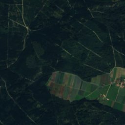
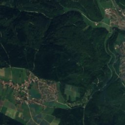
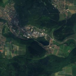
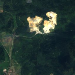
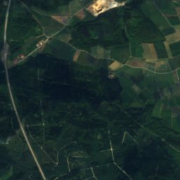
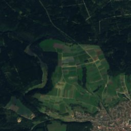
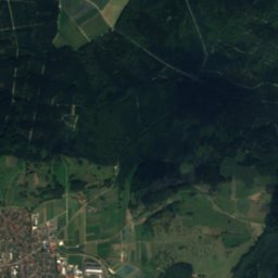
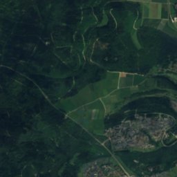
Summits nearbyMountains of Germany


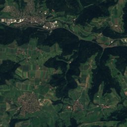
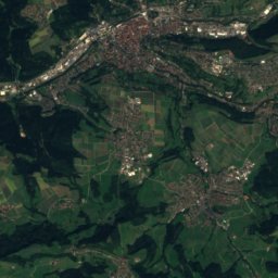
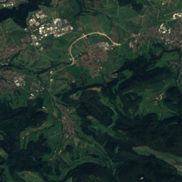
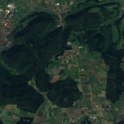
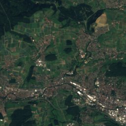
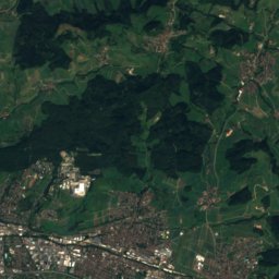
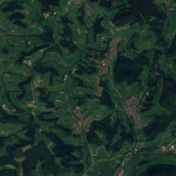
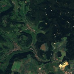
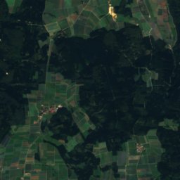
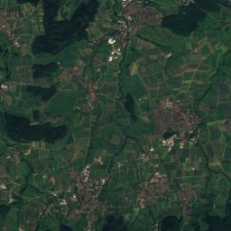
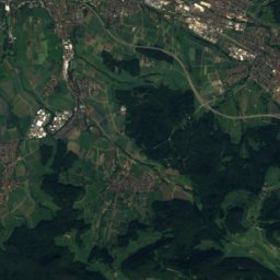
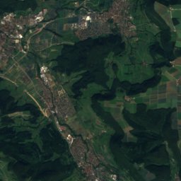
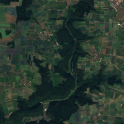
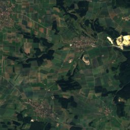
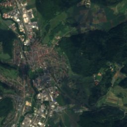
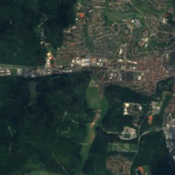
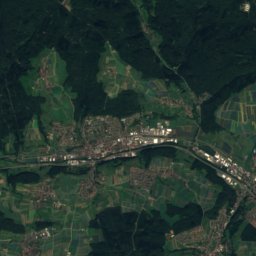
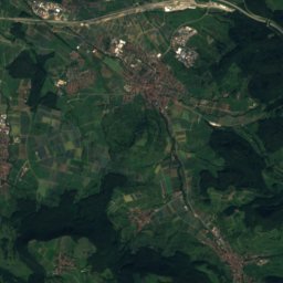
Satellite: Sentinel-2 cloudless 2016 by EOX IT Services GmbH · CC BY 4.0 · Contains modified Copernicus Sentinel data 2016

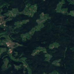
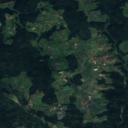
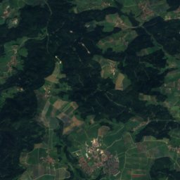
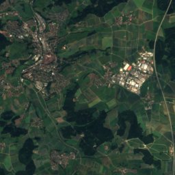
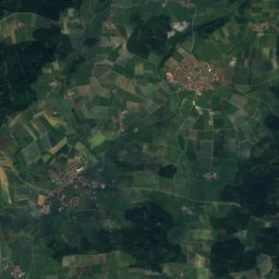
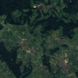
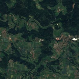
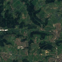
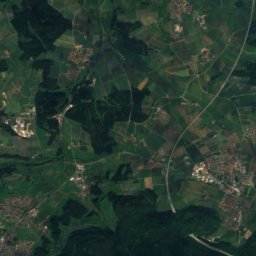
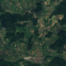
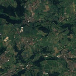
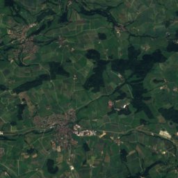
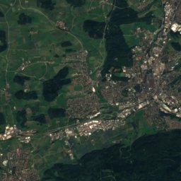
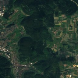
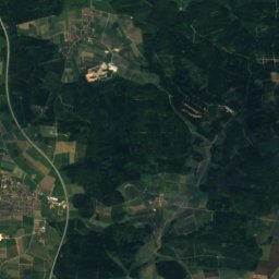
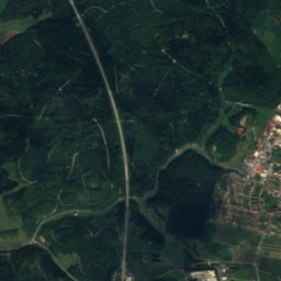
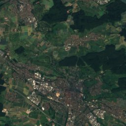
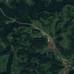
Satellite: Sentinel-2 cloudless 2016 by EOX IT Services GmbH · CC BY 4.0 · Contains modified Copernicus Sentinel data 2016

Stay nearby
Towns close by
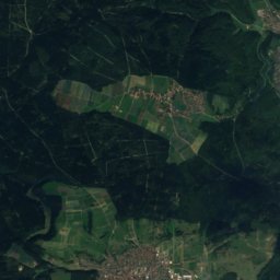
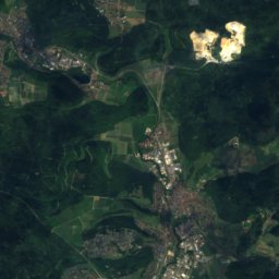
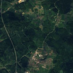
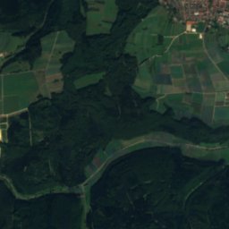
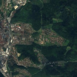
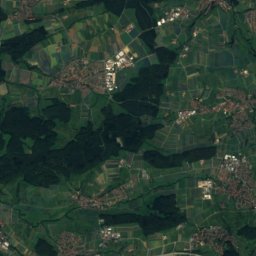
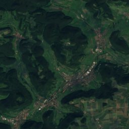
Satellite: Sentinel-2 cloudless 2016 by EOX IT Services GmbH · CC BY 4.0 · Contains modified Copernicus Sentinel data 2016
Königsbronn
Baden-Wurttemberg · 0.7 km NW
13°Oct high
11wet days
42score
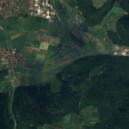
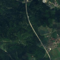
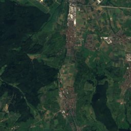
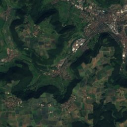
Satellite: Sentinel-2 cloudless 2016 by EOX IT Services GmbH · CC BY 4.0 · Contains modified Copernicus Sentinel data 2016
Oberkochen
Baden-Wurttemberg · 5.2 km N
13°Oct high
11wet days
42score


Heidenheim an der Brenz
Baden-Wurttemberg · 7.1 km S
13°Oct high
11wet days
43score
Around here
Königsbronn and around
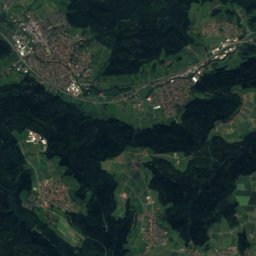
Satellite: Sentinel-2 cloudless 2016 by EOX IT Services GmbH · CC BY 4.0 · Contains modified Copernicus Sentinel data 2016
Königsbronn
Baden-Wurttemberg · Germany
Jul–Sepbest months
24°July high
503 maltitude
Nature

Mountains


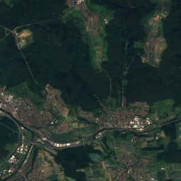
Heritage








Satellite: Sentinel-2 cloudless 2016 by EOX IT Services GmbH · CC BY 4.0 · Contains modified Copernicus Sentinel data 2016
Klosterkirche Königsbronn
cultural heritage monument in Baden-Württemberg


Museums


Photo: --Xocolatl 11:57, 4 November 2007 (UTC) · Public domain · Wikimedia CommonsReport this photo · linked, not stored
