
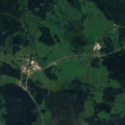
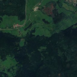
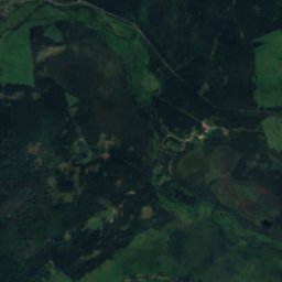
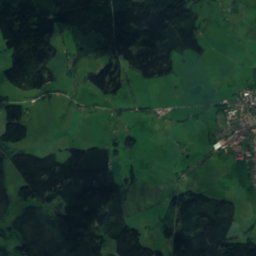
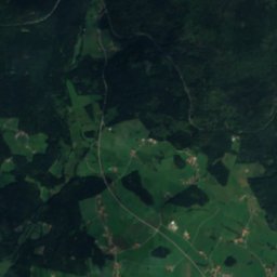
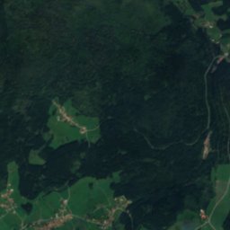
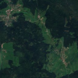
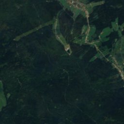
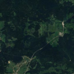
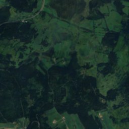
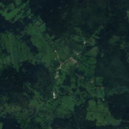

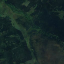
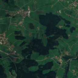
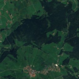
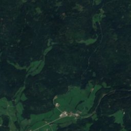
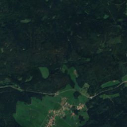

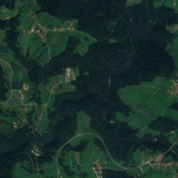
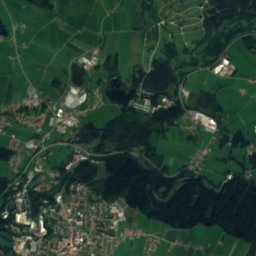
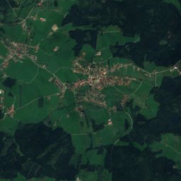
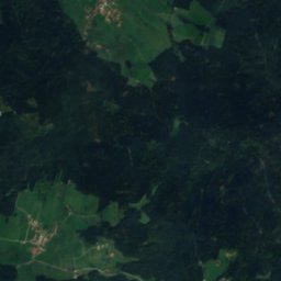


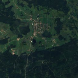


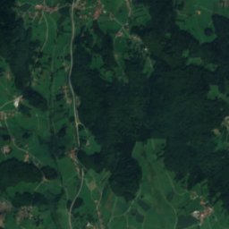
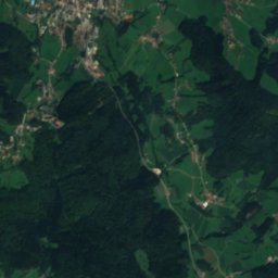
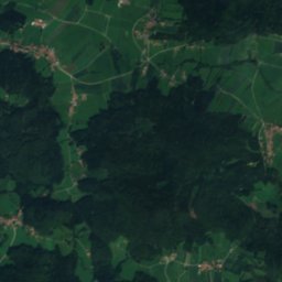
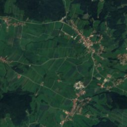
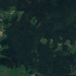
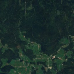
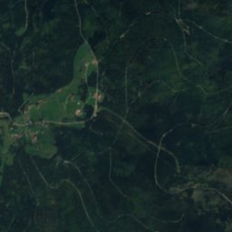
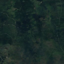
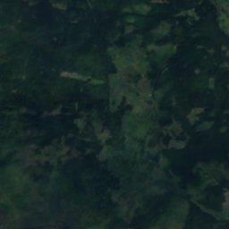
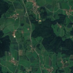
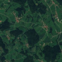
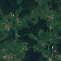
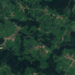
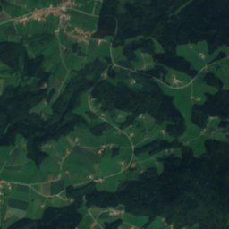
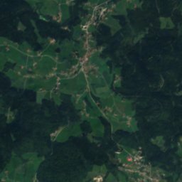
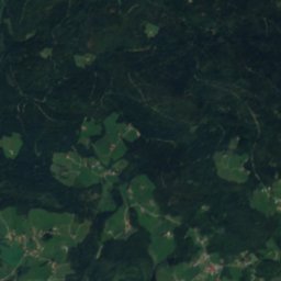
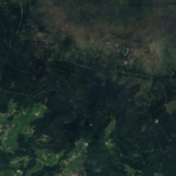
Satellite: Sentinel-2 cloudless 2016 by EOX IT Services GmbH · CC BY 4.0 · Contains modified Copernicus Sentinel data 2016

Photo: Dieringer63 · CC BY-SA 4.0 · Wikimedia Commons
PutznigllucknReport this photo · linked, not stored
PutznigllucknPutznigllucknReport this photo · linked, not stored

Photo: Dieringer63 · CC BY-SA 4.0 · Wikimedia Commons
LabyrinthhöhleReport this photo · linked, not stored
LabyrinthhöhleLabyrinthhöhleReport this photo · linked, not stored

Photo: Dieringer63 · CC BY-SA 4.0 · Wikimedia Commons
DeserteurhöhleReport this photo · linked, not stored
DeserteurhöhleDeserteurhöhleReport this photo · linked, not stored

Photo: Prochaine at Czech Wikipedia · Public domain · Wikimedia Commons
Plešné jezeroReport this photo · linked, not stored
Plešné jezeroPlešné jezeroReport this photo · linked, not stored
RiverHaidmühle, Bavaria
Osterbach
RiverBest Jul–Sep
Elevation–above sea level
Length34 kmsource to mouth
Nearest townHaidmühle4.7 km
48.81° N, 13.72° EUTC+1 · Central European Standard Time
When to goHaidmühle · weather score
Best timeJul–Sep
October: high / low12° / 4°
River
Osterbach in brief
Osterbach is a river in Haidmühle, Bavaria, Germany.
The nearest town is Haidmühle, 4.7 km to the E, where the weather is best in July, August and September.
Osterbach is 34 km long.
Weather nearby now
Forecast for Haidmühle1°
Clear now
Today
27 Oct
12°
1°
Wed
28 Oct
10°
4°
4 mm
Thu
29 Oct
10°
0°
Fri
30 Oct
10°
-1°
Sat
31 Oct
8°
2°
Model run 12:00 UTCRefreshed several times a day
The course of the river
As mapped in OpenStreetMap, with the towns along its banks.- 1Röhrnbach432 m
- 2Fürsteneck354 m
sourcemouth (or where the mapped line leaves the country)
When to go
Climate of HaidmühleThe best months around Osterbach
Month score in Haidmühle
Comfort, dry days and sunshine · out of 10021
Jan
29
Feb
26
Mar
43
Apr
56
May
63
Jun
65
Jul
68
Aug
65
Sep
38
Oct
26
Nov
21
Dec
Map
Osterbach from above
Nature nearbyAll of Germany


Photo: Prochaine at Czech Wikipedia · Public domain · Wikimedia CommonsReport this photo · linked, not stored
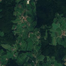
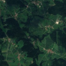
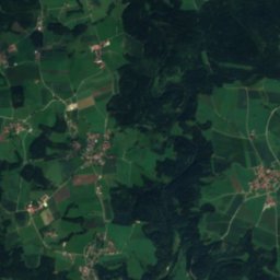
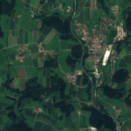
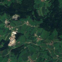
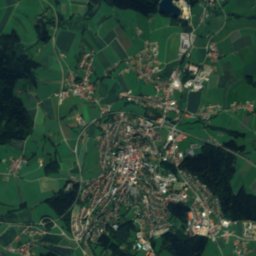
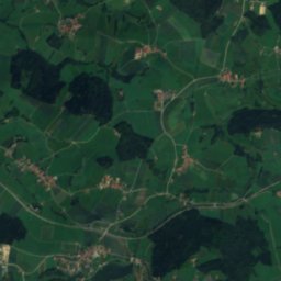
Satellite: Sentinel-2 cloudless 2016 by EOX IT Services GmbH · CC BY 4.0 · Contains modified Copernicus Sentinel data 2016

Summits nearbyMountains of Germany


Stay nearby
Towns close by


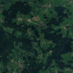
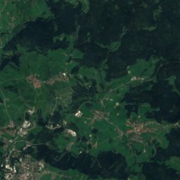
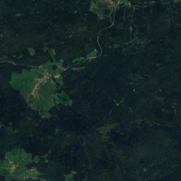
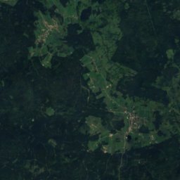

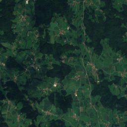
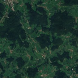
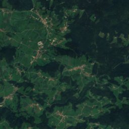
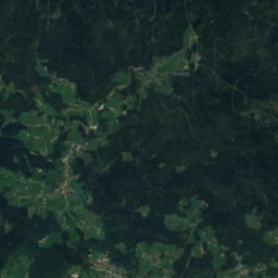
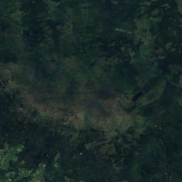
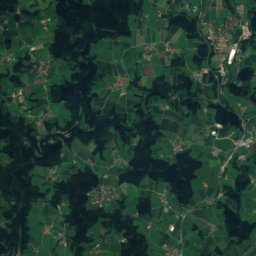
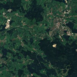
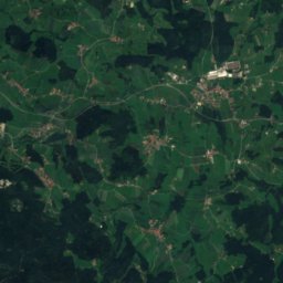
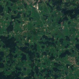
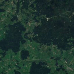
Satellite: Sentinel-2 cloudless 2016 by EOX IT Services GmbH · CC BY 4.0 · Contains modified Copernicus Sentinel data 2016
Neureichenau
Bavaria · 7.4 km S
12°Oct high
11wet days
38score
Around here
Haidmühle and around
Nature


Photo: Ivo Lukačovič (Original uploader was Adam Hauner at cs.wikipedia) · CC BY-SA 2.5 · Wikimedia CommonsReport this photo · linked, not stored
Teplá Vltava
River
Photo: Prochaine at Czech Wikipedia · Public domain · Wikimedia CommonsReport this photo · linked, not stored
Plešné jezero
Lake · 1,090 m
Mountains


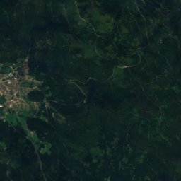
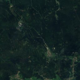
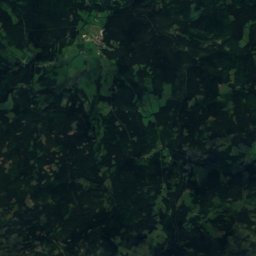
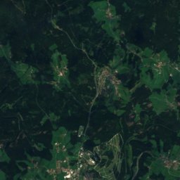
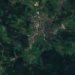
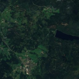
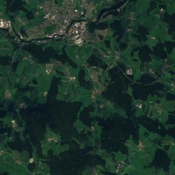
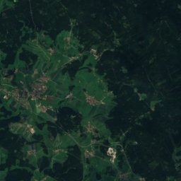
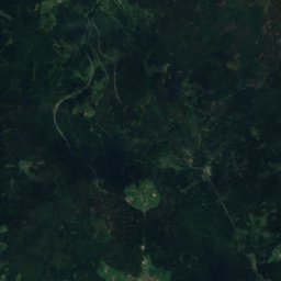
Satellite: Sentinel-2 cloudless 2016 by EOX IT Services GmbH · CC BY 4.0 · Contains modified Copernicus Sentinel data 2016
Kleiner Rachel
1,399 m · Bavarian Forest
Heritage

St. Maximilian, Haidmühle
architectural heritage monument in Bavaria · 1929

Photo: Pudelek (Marcin Szala) · CC BY-SA 3.0 · Wikimedia CommonsReport this photo · linked, not stored
Štifterův Pomník
cultural monument of the Czech Republic · 1870

Museums

Photo: Manfred E. Fritsche · CC BY-SA 2.0 de · Wikimedia CommonsReport this photo · linked, not stored
Pošumavská jižní dráha
Heritage railway

Satellite: Sentinel-2 cloudless 2016 by EOX IT Services GmbH · CC BY 4.0 · Contains modified Copernicus Sentinel data 2016
Brauereikulturmuseum





Satellite: Sentinel-2 cloudless 2016 by EOX IT Services GmbH · CC BY 4.0 · Contains modified Copernicus Sentinel data 2016