Skip to content
Destinations
Weather & climate
Nature
Outdoors
Culture
Events
Sky & live
Oster
Photo: Gripweed · CC BY-SA 3.0 · Wikimedia Commons
OsterReport this photo · linked, not stored
Todbach
Photo: Flocci Nivis · CC BY 4.0 · Wikimedia Commons
TodbachReport this photo · linked, not stored
Todbach
Traun, Rheinland-Pfalz
Photo: Lsjm · CC0 · Wikimedia Commons
Traun, Rheinland-PfalzReport this photo · linked, not stored
Traun, Rheinland-Pfalz
Bostalsee
Photo: Carsten Steger · CC BY-SA 4.0 · Wikimedia Commons
BostalseeReport this photo · linked, not stored
Bostalsee
Blies
Photo: Zorro95 · CC BY-SA 3.0 · Wikimedia Commons
BliesReport this photo · linked, not stored
Blies
RiverFreisen, Saarland

Oster

RiverBest Jun–Jul · Sep
Elevation–above sea level
Length28 kmsource to mouth
Nearest townFreisen2.5 km
49.53° N, 7.24° EUTC+2 · Central European Summer Time
When to goFreisen · weather score
JanFebMarAprMayJunJulAugSepOctNovDec36October
Best timeJun–Jul · Sep
October: high / low13° / 6°
River

Oster in brief

Oster is a river in Freisen, Saarland, Germany.

The nearest town is Freisen, 2.5 km to the N, where the weather is best in June, July and September.

Oster is 28 km long.

Freisen: weather and travel guide

Weather nearby now

Forecast for Freisen
9°
Showers now
Wind23 km/h
Humidity70%
Cloud cover62%
Today
24 Oct
9°
5°
7 mm
Sun
25 Oct
11°
6°
38 mm
Mon
26 Oct
11°
6°
1 mm
Tue
27 Oct
16°
10°
1 mm
Wed
28 Oct
13°
6°

Model run 00:00 UTCRefreshed several times a day

When to go

The best months around Oster

Climate of Freisen

Month score in Freisen

Comfort, dry days and sunshine · out of 100
11
Jan
19
Feb
21
Mar
47
Apr
62
May
65
Jun
66
Jul
65
Aug
73
Sep
36
Oct
14
Nov
9
Dec
Map

Oster from above

Nature nearbyAll of Germany
Photo: Flocci Nivis · CC BY 4.0 · Wikimedia CommonsReport this photo · linked, not stored
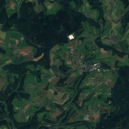
TodbachRiver8.4 kmSWTodbach
Photo: Lsjm · CC0 · Wikimedia CommonsReport this photo · linked, not stored
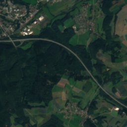
Traun, Rheinland-PfalzRiver9.9 kmNWTraun, Rheinland-Pfalz
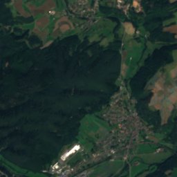
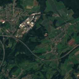
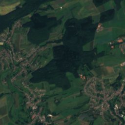
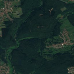
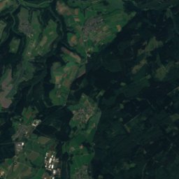
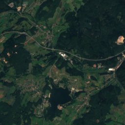
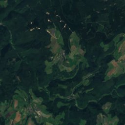
Satellite: Sentinel-2 cloudless 2016 by EOX IT Services GmbH · CC BY 4.0 · Contains modified Copernicus Sentinel data 2016
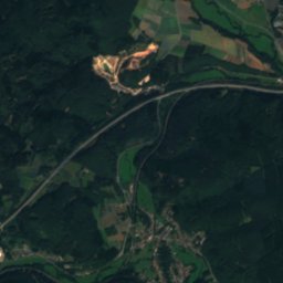
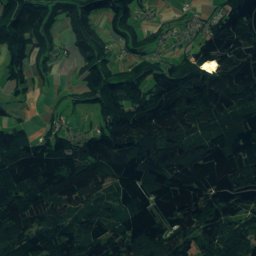
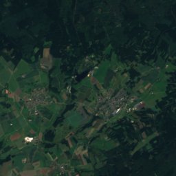
SöterbachRiver11 kmNWSöterbach
Photo: Carsten Steger · CC BY-SA 4.0 · Wikimedia CommonsReport this photo · linked, not stored
BostalseeLake13 kmWBostalsee
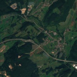
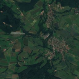
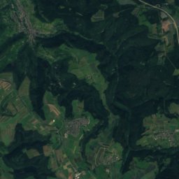
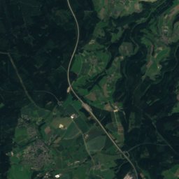
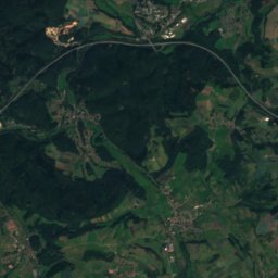
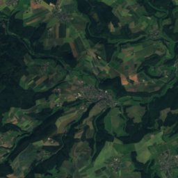
Satellite: Sentinel-2 cloudless 2016 by EOX IT Services GmbH · CC BY 4.0 · Contains modified Copernicus Sentinel data 2016
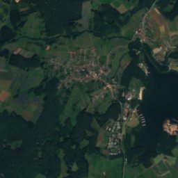
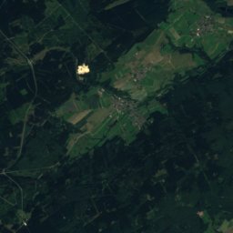
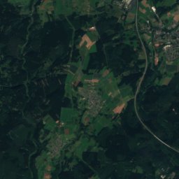
Ottweiler WingertsweierLake14 kmSOttweiler Wingertsweier
Photo: Zorro95 · CC BY-SA 3.0 · Wikimedia CommonsReport this photo · linked, not stored
BliesRiver14 kmWBlies
Summits nearbyMountains of Germany
Photo: Jörg Braukmann · CC BY-SA 4.0 · Wikimedia CommonsReport this photo · linked, not stored
Erbeskopf25 km NW816 mJuly 21°Erbeskopf
Photo: Unimog404 · CC BY-SA 3.0 · Wikimedia CommonsReport this photo · linked, not stored
Ruppelstein23 km NW763 mJuly 21°Ruppelstein
Photo: Muck · CC BY-SA 4.0 · Wikimedia CommonsReport this photo · linked, not stored
Sandkopf23 km NW757 mJuly 21°Sandkopf
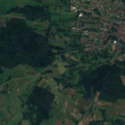
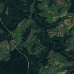
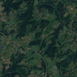
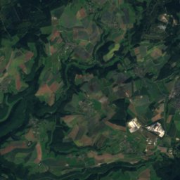
Satellite: Sentinel-2 cloudless 2016 by EOX IT Services GmbH · CC BY 4.0 · Contains modified Copernicus Sentinel data 2016
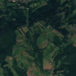
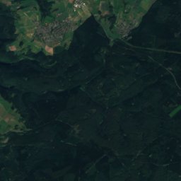
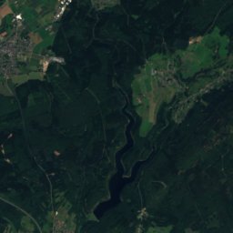
Friedrichskopf20 km NW707 mJuly 22°Friedrichskopf
Photo: Bolero-Saar · CC BY-SA 3.0 de · Wikimedia CommonsReport this photo · linked, not stored
Dollberg20 km NW695 mJuly 22°Dollberg
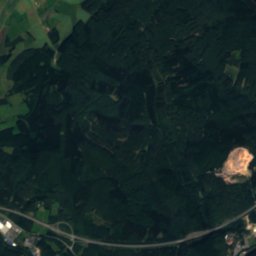
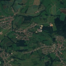
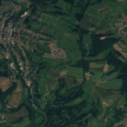
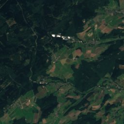
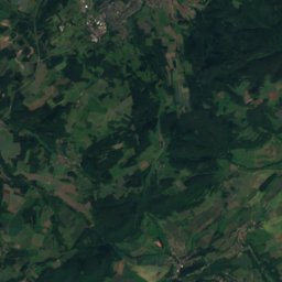
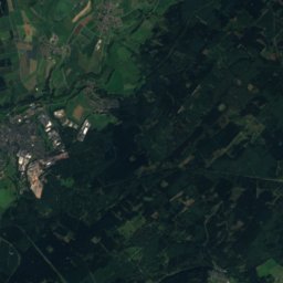
Satellite: Sentinel-2 cloudless 2016 by EOX IT Services GmbH · CC BY 4.0 · Contains modified Copernicus Sentinel data 2016
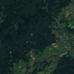
Trautzberg3.5 km NE604 mJuly 22°Trautzberg
Stay nearby

Towns close by

Freisen
Photo: atreyu · CC BY-SA 4.0 · Wikimedia CommonsReport this photo · linked, not stored

Freisen

Saarland · 2.5 km N
13°Oct high
12wet days
36score
Freisen
Reichweiler
Photo: Homer78 · CC BY-SA 3.0 · Wikimedia CommonsReport this photo · linked, not stored

Reichweiler

Rheinland-Pfalz · 3.2 km E
14°Oct high
12wet days
40score
Reichweiler
Satellite: Sentinel-2 cloudless 2016 by EOX IT Services GmbH · CC BY 4.0 · Contains modified Copernicus Sentinel data 2016

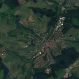
Herchweiler

Rheinland-Pfalz · 4.2 km SE
14°Oct high
12wet days
41score
Herchweiler
Eckersweiler
Photo: Krikrakris at de.wikipedia · Public domain · Wikimedia CommonsReport this photo · linked, not stored

Eckersweiler

Rheinland-Pfalz · 5.3 km NE
13°Oct high
12wet days
37score
Eckersweiler
Around here

Freisen and around

Freisen
Photo: atreyu · CC BY-SA 4.0 · Wikimedia CommonsReport this photo · linked, not stored

Freisen

Saarland · Germany
Jun–Jul · Sepbest months
23°July high
460 maltitude
Freisen

Nature

Todbach
Photo: Flocci Nivis · CC BY 4.0 · Wikimedia CommonsReport this photo · linked, not stored
11 km SW

Todbach

River
Todbach
Traun, Rheinland-Pfalz
Photo: Lsjm · CC0 · Wikimedia CommonsReport this photo · linked, not stored
8.5 km NW

Traun, Rheinland-Pfalz

River
Traun, Rheinland-Pfalz
Satellite: Sentinel-2 cloudless 2016 by EOX IT Services GmbH · CC BY 4.0 · Contains modified Copernicus Sentinel data 2016
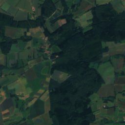
10 km W

Söterbach

River
Söterbach

Mountains

Erbeskopf
Photo: Jörg Braukmann · CC BY-SA 4.0 · Wikimedia CommonsReport this photo · linked, not stored
23 km NW

Erbeskopf

816 m · Hunsrück
Erbeskopf
Satellite: Sentinel-2 cloudless 2016 by EOX IT Services GmbH · CC BY 4.0 · Contains modified Copernicus Sentinel data 2016
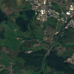
32 km N

An den zwei Steinen

766 m · Idar Forest
An den zwei Steinen
Kahlheid
Photo: Mabol! · CC BY-SA 3.0 · Wikimedia CommonsReport this photo · linked, not stored
24 km NW

Kahlheid

766 m · Idar Forest
Kahlheid

Heritage

St. Remigius, Freisen
Photo: Guneri · CC BY-SA 3.0 · Wikimedia CommonsReport this photo · linked, not stored
0.4 km N

St. Remigius, Freisen

architectural heritage monument
St. Remigius, Freisen
Talbrücke Oberkirchen
Photo: atreyu · CC BY-SA 4.0 · Wikimedia CommonsReport this photo · linked, not stored
2.6 km S

Talbrücke Oberkirchen

architectural heritage monument · 1936
Talbrücke Oberkirchen
St. Katharina, Reichweiler
Photo: atreyu · CC BY-SA 4.0 · Wikimedia CommonsReport this photo · linked, not stored
2.8 km S

St. Katharina, Reichweiler

Kulturdenkmal
St. Katharina, Reichweiler

Museums

Satellite: Sentinel-2 cloudless 2016 by EOX IT Services GmbH · CC BY 4.0 · Contains modified Copernicus Sentinel data 2016
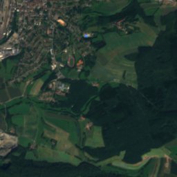
0.3 km SE

Mineralogisches Museum Oberkirchen

Mineralogisches Museum Oberkirchen
Musikantenland Museum
Photo: LoKiLeCh · CC BY-SA 3.0 · Wikimedia CommonsReport this photo · linked, not stored
7.7 km E

Musikantenland Museum

Musikantenland Museum
Urweltmuseum GEOSKOP
Photo: 3268zauber · CC BY-SA 3.0 · Wikimedia CommonsReport this photo · linked, not stored
7.6 km E

Urweltmuseum GEOSKOP

1998
Urweltmuseum GEOSKOP