Skip to content
Destinations
Weather & climate
Nature
Outdoors
Culture
Events
Sky & live
Oste
Photo: Tvabutzku1234 · CC0 · Wikimedia Commons
OsteReport this photo · linked, not stored
Aue (Oste)
Photo: raboe001 · CC BY-SA 2.5 · Wikimedia Commons
Aue (Oste)Report this photo · linked, not stored
Aue (Oste)
Emmelke
Photo: Foto: Martina Nolte, Lizenz: Creative Commons by-sa-3.0 de · CC BY-SA 3.0 de · Wikimedia Commons
EmmelkeReport this photo · linked, not stored
Emmelke
Medemsand
Photo: Ra Boe · CC BY-SA 2.5 · Wikimedia Commons
MedemsandReport this photo · linked, not stored
Medemsand
Deutscher Olymp
Photo: raboe001 · CC BY-SA 2.5 · Wikimedia Commons
Deutscher OlympReport this photo · linked, not stored
Deutscher Olymp
RiverBelum, Lower Saxony

Oste

RiverBest May · Jul–Aug
Elevation–above sea level
Length156 kmsource to mouth
Nearest townBelum2.9 km
53.84° N, 9.02° EUTC+1 · Central European Standard Time
When to goBelum · weather score
JanFebMarAprMayJunJulAugSepOctNovDec36October
Best timeMay · Jul–Aug
October: high / low14° / 7°
River

Oste in brief

Oste is a river in Belum, Lower Saxony, Germany.

The nearest town is Belum, 2.9 km to the SW, where the weather is best in May, July and August.

Oste is 156 km long.

Belum: weather and travel guide

Weather nearby now

Forecast for Belum
12°
Cloudy now
Wind13 km/h
Humidity96%
Cloud cover72%
Today
28 Oct
14°
8°
1 mm
Thu
29 Oct
15°
7°
Fri
30 Oct
13°
8°
Sat
31 Oct
13°
9°
Sun
1 Nov
13°
8°
1 mm

Model run 12:00 UTCRefreshed several times a day

The course of the river

As mapped in OpenStreetMap, with the towns along its banks.
1234567891011121314
  1. 1Tostedt61 m
  2. 2Tiste34 m
  3. 3Heeslingen20 m
  4. 4Zeven23 m
  5. 5Sandbostel9 m
  6. 6Bremervörde4 m
  7. 7Estorf11 m
  8. 8Burweg2 m
  9. 9Hechthausen9 m
  10. 10Osten1 m
  11. 11Hemmoor13 m
  12. 12Oberndorf1 m
  13. 13Neuhaus an der Oste1 m
  14. 14Belum1 m
sourcemouth (or where the mapped line leaves the country)
When to go

The best months around Oste

Climate of Belum

Month score in Belum

Comfort, dry days and sunshine · out of 100
14
Jan
22
Feb
24
Mar
48
Apr
67
May
63
Jun
64
Jul
64
Aug
64
Sep
36
Oct
15
Nov
14
Dec
Map

Oste from above

Nature nearbyAll of Germany

Photo: raboe001 · CC BY-SA 2.5 · Wikimedia CommonsReport this photo · linked, not stored
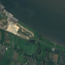
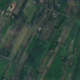
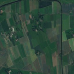
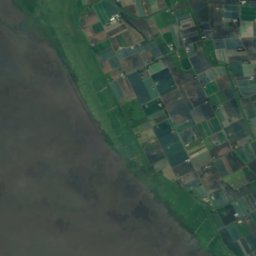
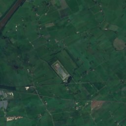
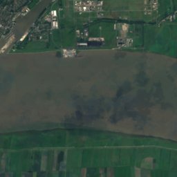
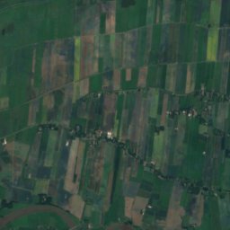
Aue (Oste)River3.8 kmSEAue (Oste)
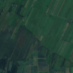
Satellite: Sentinel-2 cloudless 2016 by EOX IT Services GmbH · CC BY 4.0 · Contains modified Copernicus Sentinel data 2016

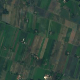
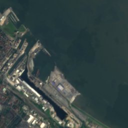
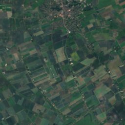
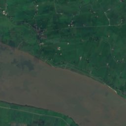
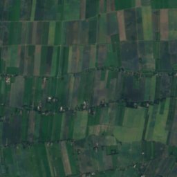
MedemRiver8.2 kmWMedem
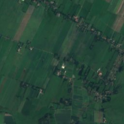
Satellite: Sentinel-2 cloudless 2016 by EOX IT Services GmbH · CC BY 4.0 · Contains modified Copernicus Sentinel data 2016
MedemgrundIsland12 kmWMedemgrund
Photo: Foto: Martina Nolte, Lizenz: Creative Commons by-sa-3.0 de · CC BY-SA 3.0 de · Wikimedia CommonsReport this photo · linked, not stored
EmmelkeRiver12 kmSWEmmelke
Photo: Ra Boe · CC BY-SA 2.5 · Wikimedia CommonsReport this photo · linked, not stored
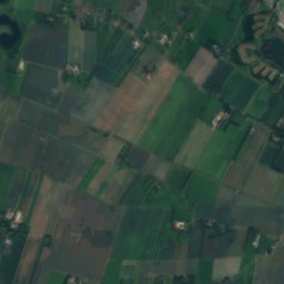
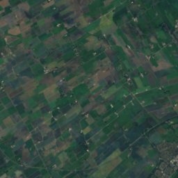
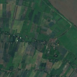
MedemsandIsland15 kmNWMedemsand
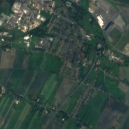
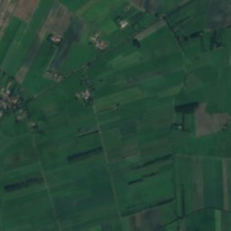
Satellite: Sentinel-2 cloudless 2016 by EOX IT Services GmbH · CC BY 4.0 · Contains modified Copernicus Sentinel data 2016
WilsterRiver15 kmSWWilster
Summits nearbyMountains of Germany
Photo: raboe001 · CC BY-SA 2.5 · Wikimedia CommonsReport this photo · linked, not stored
Deutscher Olymp11 km S62 mJuly 23°Deutscher Olymp
Stay nearby

Towns close by

Belum
Photo: Ra Boe · CC BY-SA 2.5 · Wikimedia CommonsReport this photo · linked, not stored

Belum

Lower Saxony · 2.9 km SW
14°Oct high
14wet days
36score
Belum
Neuhaus an der Oste
Photo: Ra Boe / Wikipedia · CC BY-SA 3.0 de · Wikimedia CommonsReport this photo · linked, not stored

Neuhaus an der Oste

Lower Saxony · 4.6 km S
14°Oct high
14wet days
37score
Neuhaus an der Oste
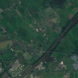
Neufelderkoog
Photo: --Nightflyer (talk) 19:52, 28 August 2017 (UTC) · CC BY-SA 4.0 · Wikimedia CommonsReport this photo · linked, not stored

Neufelderkoog

Schleswig-Holstein · 7.5 km NW
13°Oct high
14wet days
36score
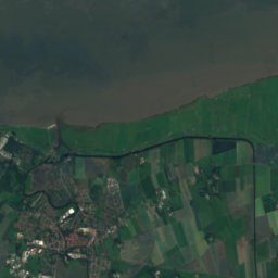
Neufelderkoog
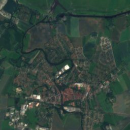
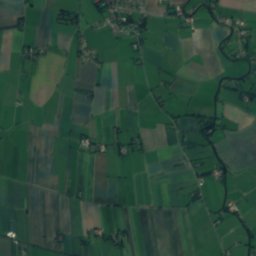
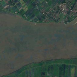
Satellite: Sentinel-2 cloudless 2016 by EOX IT Services GmbH · CC BY 4.0 · Contains modified Copernicus Sentinel data 2016


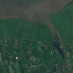
Balje

Lower Saxony · 7.6 km E
14°Oct high
14wet days
36score
Balje
Around here

Belum and around

Belum
Photo: Ra Boe · CC BY-SA 2.5 · Wikimedia CommonsReport this photo · linked, not stored

Belum

Lower Saxony · Germany
May · Jul–Augbest months
23°July high
1 maltitude
Belum

Nature

Emmelke
Photo: Foto: Martina Nolte, Lizenz: Creative Commons by-sa-3.0 de · CC BY-SA 3.0 de · Wikimedia CommonsReport this photo · linked, not stored
9.6 km SW

Emmelke

River
Emmelke
Aue (Oste)
Photo: raboe001 · CC BY-SA 2.5 · Wikimedia CommonsReport this photo · linked, not stored
3.2 km E

Aue (Oste)

River · 9 m
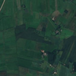
Aue (Oste)
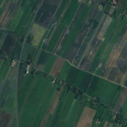
Satellite: Sentinel-2 cloudless 2016 by EOX IT Services GmbH · CC BY 4.0 · Contains modified Copernicus Sentinel data 2016

6.7 km W

Medem

River
Medem

Mountains

Deutscher Olymp
Photo: raboe001 · CC BY-SA 2.5 · Wikimedia CommonsReport this photo · linked, not stored
9.9 km SE

Deutscher Olymp

62 m · Wingst
Deutscher Olymp

Heritage

Amtsgericht Neuhaus
Photo: Ra Boe · CC BY-SA 2.5 · Wikimedia CommonsReport this photo · linked, not stored
3.0 km SE

Amtsgericht Neuhaus

Kulturdenkmal · 1852
Amtsgericht Neuhaus
Wohnhaus An der Schleuse 3
Photo: Raboe001 · CC BY-SA 3.0 · Wikimedia CommonsReport this photo · linked, not stored
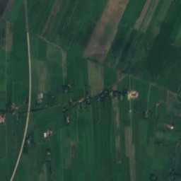
2.6 km SE

Wohnhaus An der Schleuse 3

cultural heritage monument in Lower Saxony
Wohnhaus An der Schleuse 3
Schleuse und Schöpfwerk Neuhaus
Photo: Ra Boe · CC BY-SA 2.5 · Wikimedia CommonsReport this photo · linked, not stored
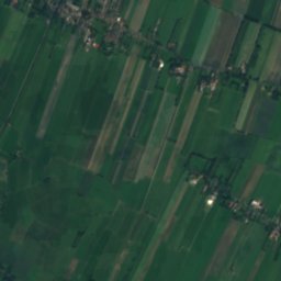
2.7 km SE

Schleuse und Schöpfwerk Neuhaus

cultural heritage monument in Lower Saxony
Schleuse und Schöpfwerk Neuhaus

Museums

Natureum Niederelbe
Photo: Schneeherz · CC BY-SA 4.0 · Wikimedia CommonsReport this photo · linked, not stored
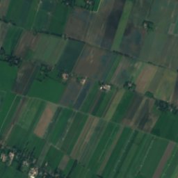
2.7 km E

Natureum Niederelbe

Natureum Niederelbe
Kanalmuseum ATRIUM
Photo: Peter Oldekop · CC BY-SA 4.0 · Wikimedia CommonsReport this photo · linked, not stored
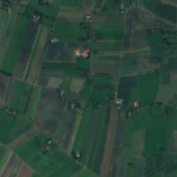
13 km NE

Kanalmuseum ATRIUM

Kanalmuseum ATRIUM
Heimatmuseum Geversdorf
Photo: Losch · CC BY-SA 3.0 · Wikimedia CommonsReport this photo · linked, not stored
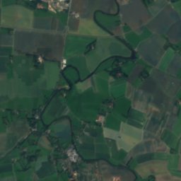
5.7 km SE

Heimatmuseum Geversdorf

Local museum
Heimatmuseum Geversdorf