Skip to content
Destinations
Weather & climate
Nature
Outdoors
Culture
Events
Sky & live
Orla, Thuringia
Photo: Vrobix · Public domain · Wikimedia Commons
Orla, ThuringiaReport this photo · linked, not stored
Kotschau
Photo: Ansgar Koreng / CC BY-SA 3.0 (DE) · CC BY-SA 3.0 de · Wikimedia Commons
KotschauReport this photo · linked, not stored
Kotschau
Dürrbach, Thuringia
Photo: Falk Schilling · CC BY-SA 4.0 · Wikimedia Commons
Dürrbach, ThuringiaReport this photo · linked, not stored
Dürrbach, Thuringia
Leutra (Maua)
Photo: indeedous/Wikimedia Commons · Attribution · Wikimedia Commons
Leutra (Maua)Report this photo · linked, not stored
Leutra (Maua)
Ilsenhöhle
Photo: Huuuuh · CC0 · Wikimedia Commons
IlsenhöhleReport this photo · linked, not stored
Ilsenhöhle
RiverFreienorla, Thuringia

Orla, Thuringia

RiverBest Jun · Aug–Sep
Elevation–above sea level
Length35 kmsource to mouth
Nearest townFreienorla0.8 km
50.77° N, 11.55° EUTC+2 · Central European Summer Time
When to goFreienorla · weather score
JanFebMarAprMayJunJulAugSepOctNovDec50October
Best timeJun · Aug–Sep
October: high / low14° / 6°
River

Orla, Thuringia in brief

Orla, Thuringia is a river in Freienorla, Thuringia, Germany.

The nearest town is Freienorla, 0.8 km to the S, where the weather is best in June, August and September.

Orla, Thuringia is 35 km long.

Freienorla: weather and travel guide

Weather nearby now

Forecast for Freienorla
11°
Cloudy now
Wind22 km/h
Humidity64%
Cloud cover100%
Today
23 Oct
13°
6°
1 mm
Sat
24 Oct
10°
4°
4 mm
Sun
25 Oct
13°
6°
14 mm
Mon
26 Oct
13°
6°
Tue
27 Oct
16°
6°
1 mm

Model run 12:00 UTCRefreshed several times a day

The course of the river

As mapped in OpenStreetMap, with the towns along its banks.
1234567891011121314
  1. 1Dreitzsch310 m
  2. 2Neustadt an der Orla300 m
  3. 3Kospoda353 m
  4. 4Weira411 m
  5. 5Oppurg218 m
  6. 6Nimritz267 m
  7. 7Döbritz263 m
  8. 8Bodelwitz269 m
  9. 9Pößneck228 m
  10. 10Langenorla186 m
  11. 11Orlamünde251 m
  12. 12Kleineutersdorf228 m
  13. 13Freienorla218 m
  14. 14Großeutersdorf168 m
sourcemouth (or where the mapped line leaves the country)
When to go

The best months around Orla, Thuringia

Climate of Freienorla

Month score in Freienorla

Comfort, dry days and sunshine · out of 100
19
Jan
27
Feb
25
Mar
62
Apr
66
May
67
Jun
64
Jul
69
Aug
74
Sep
50
Oct
23
Nov
16
Dec
Map

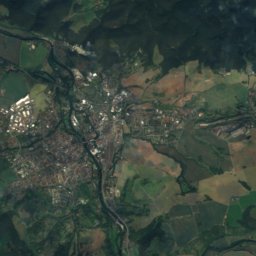
Orla, Thuringia from above

Nature nearbyAll of Germany
Photo: Ansgar Koreng / CC BY-SA 3.0 (DE) · CC BY-SA 3.0 de · Wikimedia CommonsReport this photo · linked, not stored
KotschauRiver8.5 kmSEKotschau
Photo: Falk Schilling · CC BY-SA 4.0 · Wikimedia CommonsReport this photo · linked, not stored
Dürrbach, ThuringiaRiver11 kmSEDürrbach, Thuringia
Photo: indeedous/Wikimedia Commons · Attribution · Wikimedia CommonsReport this photo · linked, not stored
Leutra (Maua)River11 kmNLeutra (Maua)
Photo: Huuuuh · CC0 · Wikimedia CommonsReport this photo · linked, not stored
IlsenhöhleCave12 kmSIlsenhöhle
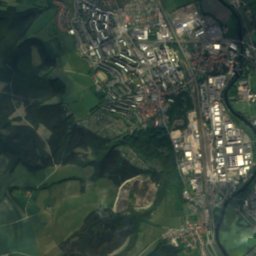
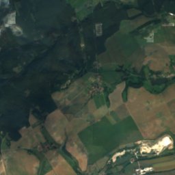
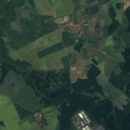
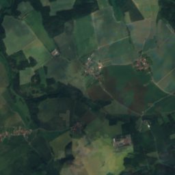
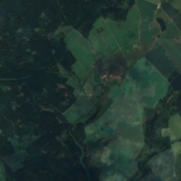
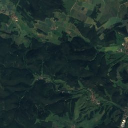
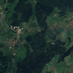
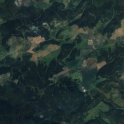
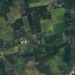
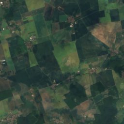
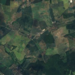
Satellite: Sentinel-2 cloudless 2016 by EOX IT Services GmbH · CC BY 4.0 · Contains modified Copernicus Sentinel data 2016
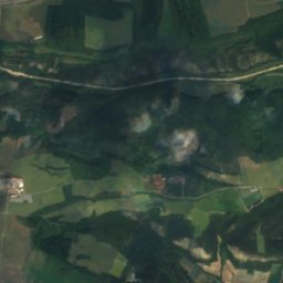
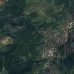
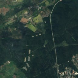
RodaRiver13 kmNRoda
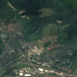
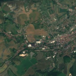
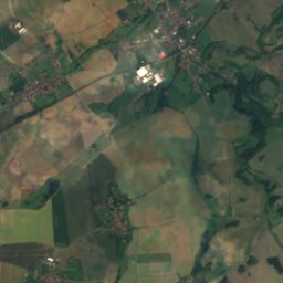
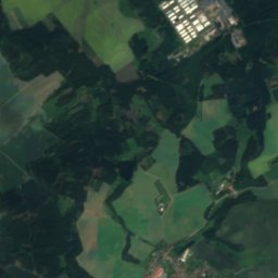
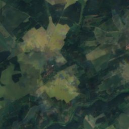
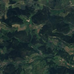
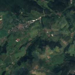
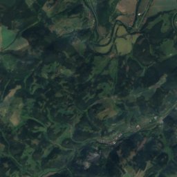
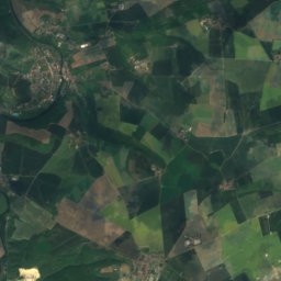
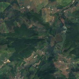
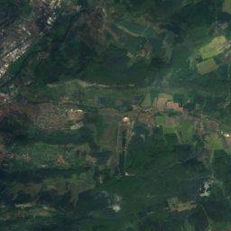
Satellite: Sentinel-2 cloudless 2016 by EOX IT Services GmbH · CC BY 4.0 · Contains modified Copernicus Sentinel data 2016
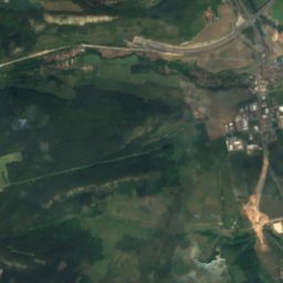
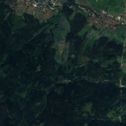
Bahren-TeichLake16 kmSEBahren-Teich
Summits nearbyMountains of Germany
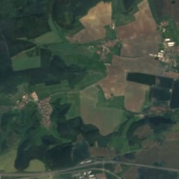
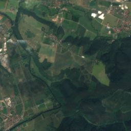
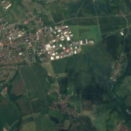
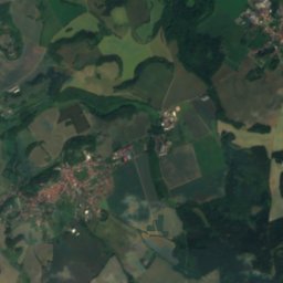
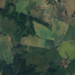
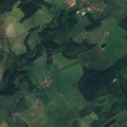
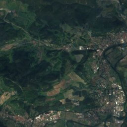
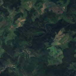
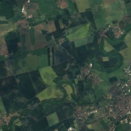
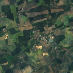
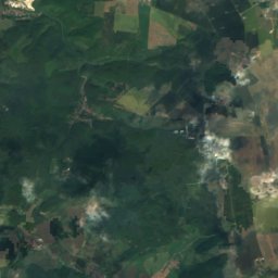
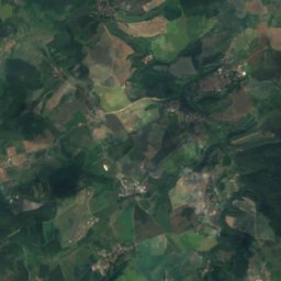
Satellite: Sentinel-2 cloudless 2016 by EOX IT Services GmbH · CC BY 4.0 · Contains modified Copernicus Sentinel data 2016
Zipptannskuppe23 km SW657 mJuly 22°Zipptannskuppe
Photo: NutzerAusBerlin · CC0 · Wikimedia CommonsReport this photo · linked, not stored
Hexenberg25 km NW434 mJuly 24°Hexenberg
Photo: Z thomas · CC BY-SA 3.0 · Wikimedia CommonsReport this photo · linked, not stored
Lichtenberg5.8 km NE400 mJuly 24°Lichtenberg
Photo: Hamster3 · CC BY-SA 3.0 · Wikimedia CommonsReport this photo · linked, not stored
Mönchsberg (Jena)12 km N399 mJuly 25°Mönchsberg (Jena)
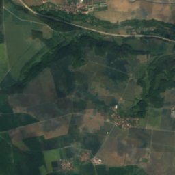
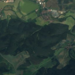
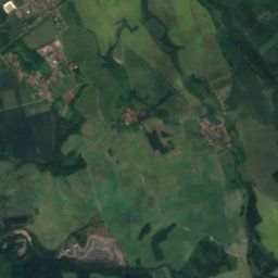
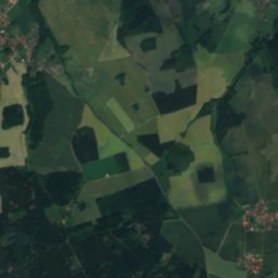
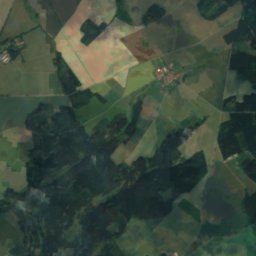
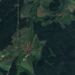
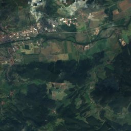
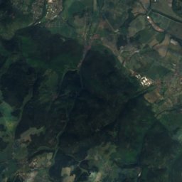
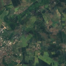
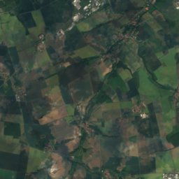
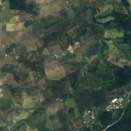
Satellite: Sentinel-2 cloudless 2016 by EOX IT Services GmbH · CC BY 4.0 · Contains modified Copernicus Sentinel data 2016
Aschberg20 km NE374 mJuly 25°Aschberg
Photo: OutcropWizard · CC BY-SA 4.0 · Wikimedia CommonsReport this photo · linked, not stored
Dohlenstein5.4 km NE366 mJuly 25°Dohlenstein
Stay nearby

Towns close by

Freienorla
Photo: Michael Sander · CC BY-SA 3.0 · Wikimedia CommonsReport this photo · linked, not stored

Freienorla

Thuringia · 0.8 km S
14°Oct high
10wet days
50score
Freienorla
Orlamünde
Photo: Jwaller · CC BY-SA 3.0 · Wikimedia CommonsReport this photo · linked, not stored

Orlamünde

Thuringia · 1.9 km W
14°Oct high
10wet days
50score
Orlamünde
Großeutersdorf
Photo: Jwaller · CC BY-SA 3.0 · Wikimedia CommonsReport this photo · linked, not stored

Großeutersdorf

Thuringia · 2.1 km NE
14°Oct high
10wet days
51score
Großeutersdorf
Kleineutersdorf
Photo: Jwaller · CC BY-SA 3.0 · Wikimedia CommonsReport this photo · linked, not stored

Kleineutersdorf

Thuringia · 2.8 km NE
14°Oct high
10wet days
50score
Kleineutersdorf
Around here

Freienorla and around

Freienorla
Photo: Michael Sander · CC BY-SA 3.0 · Wikimedia CommonsReport this photo · linked, not stored

Freienorla

Thuringia · Germany
Jun · Aug–Sepbest months
25°July high
218 maltitude
Freienorla

Nature

Dürrbach, Thuringia
Photo: Falk Schilling · CC BY-SA 4.0 · Wikimedia CommonsReport this photo · linked, not stored
10 km SE

Dürrbach, Thuringia

River · 405 m
Dürrbach, Thuringia
Kotschau
Photo: Ansgar Koreng / CC BY-SA 3.0 (DE) · CC BY-SA 3.0 de · Wikimedia CommonsReport this photo · linked, not stored
7.7 km SE

Kotschau

River
Kotschau
Ilsenhöhle
Photo: Huuuuh · CC0 · Wikimedia CommonsReport this photo · linked, not stored
12 km S

Ilsenhöhle

Cave
Ilsenhöhle

Mountains

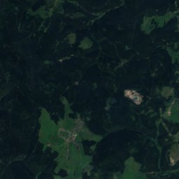
Satellite: Sentinel-2 cloudless 2016 by EOX IT Services GmbH · CC BY 4.0 · Contains modified Copernicus Sentinel data 2016
38 km SW

Hettstädt

808 m · Thuringian Highland
Hettstädt
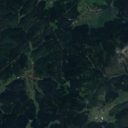
Satellite: Sentinel-2 cloudless 2016 by EOX IT Services GmbH · CC BY 4.0 · Contains modified Copernicus Sentinel data 2016
38 km SW

Mittelberg (Thuringian Highland)

804 m · Thuringian Highland
Mittelberg (Thuringian Highland)
Rauhhügel
Photo: Michael Sander · CC BY-SA 3.0 · Wikimedia CommonsReport this photo · linked, not stored
34 km SW

Rauhhügel

802 m · Thuringian Highland
Rauhhügel

Heritage

Church Niederkrossen
Photo: NoRud · CC BY-SA 4.0 · Wikimedia CommonsReport this photo · linked, not stored
2.2 km SW

Church Niederkrossen

Kulturdenkmal
Church Niederkrossen
St. Georg (Großeutersdorf)
Photo: Jwaller · CC BY-SA 3.0 · Wikimedia CommonsReport this photo · linked, not stored
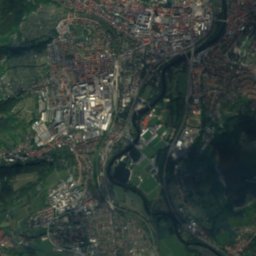
2.8 km N

St. Georg (Großeutersdorf)

Heritage monument in Thuringia
St. Georg (Großeutersdorf)
St. Peter und Paulus (Kleineutersdorf)
Photo: Jwaller · CC BY-SA 3.0 · Wikimedia CommonsReport this photo · linked, not stored
2.8 km NE

St. Peter und Paulus (Kleineutersdorf)

Heritage monument in Thuringia
St. Peter und Paulus (Kleineutersdorf)

Museums

Leuchtenburg Castle
Photo: Z thomas · CC BY-SA 3.0 · Wikimedia CommonsReport this photo · linked, not stored
6.0 km NE

Leuchtenburg Castle

1221
Leuchtenburg Castle
Rathaus Pößneck
Photo: Peter Schmelzle · CC BY-SA 3.0 · Wikimedia CommonsReport this photo · linked, not stored
8.7 km S

Rathaus Pößneck

Rathaus Pößneck
Porzellanwelten Leuchtenburg
Photo: Hummel EN · CC BY-SA 4.0 · Wikimedia CommonsReport this photo · linked, not stored
6.0 km NE

Porzellanwelten Leuchtenburg

Porzellanwelten Leuchtenburg