Skip to content
Destinations
Weather & climate
Nature
Outdoors
Culture
Events
Sky & live
Olbasee
Photo: Frank Vincentz · CC BY-SA 3.0 · Wikimedia Commons
OlbaseeReport this photo · linked, not stored
Löbauer Wasser
Photo: Mike Krüger · CC BY-SA 3.0 · Wikimedia Commons
Löbauer WasserReport this photo · linked, not stored
Löbauer Wasser
Kotitzer Wasser
Photo: Julian Nyča · CC BY-SA 3.0 · Wikimedia Commons
Kotitzer WasserReport this photo · linked, not stored
Kotitzer Wasser
Bärwalder See
Photo: McBernie · CC BY-SA 3.0 · Wikimedia Commons
Bärwalder SeeReport this photo · linked, not stored
Bärwalder See
Czorneboh
Photo: Julian Nyča · CC BY-SA 4.0 · Wikimedia Commons
CzornebohReport this photo · linked, not stored
Czorneboh
LakeGuttau, Saxony

Olbasee

Lake142 m elevationBest May · Aug–Sep
Elevation142 mabove sea level
Area0.5 km²surface
Nearest townGuttau2.6 km
51.27° N, 14.59° EElevation 142 mUTC+2 · Central European Summer Time
When to goGuttau · weather score
JanFebMarAprMayJunJulAugSepOctNovDec49October
Best timeMay · Aug–Sep
October: high / low14° / 6°
Lake

Olbasee in brief

Olbasee is a lake in Guttau, Saxony, Germany.

It lies at 142 m above sea level and covers about 0.5 km².

The nearest town is Guttau, 2.6 km to the SW, where the weather is best in May, August and September.

Guttau: weather and travel guide

Weather nearby now

Forecast for Guttau
7°
Clear now
Wind16 km/h
Humidity77%
Cloud cover14%
Today
24 Oct
13°
6°
Sun
25 Oct
11°
6°
8 mm
Mon
26 Oct
13°
6°
Tue
27 Oct
15°
6°
Wed
28 Oct
13°
6°
1 mm

Model run 12:00 UTCRefreshed several times a day

The lake's water

Surface, average depth and volume of the lake, and the length of its shore.
Surface0.5 km²
Average depth3 m
Volume1 million m³
Shoreline4.1 km
average depth 3 msurface at 142 m
When to go

The best months around Olbasee

Climate of Guttau

Month score in Guttau

Comfort, dry days and sunshine · out of 100
17
Jan
25
Feb
23
Mar
62
Apr
67
May
65
Jun
63
Jul
69
Aug
71
Sep
49
Oct
23
Nov
18
Dec
Map

Olbasee from above

Nature nearbyAll of Germany
Photo: Mike Krüger · CC BY-SA 3.0 · Wikimedia CommonsReport this photo · linked, not stored
Löbauer WasserRiver2.1 kmNWLöbauer Wasser
Photo: Julian Nyča · CC BY-SA 3.0 · Wikimedia CommonsReport this photo · linked, not stored
Kotitzer WasserRiver3.0 kmSWKotitzer Wasser
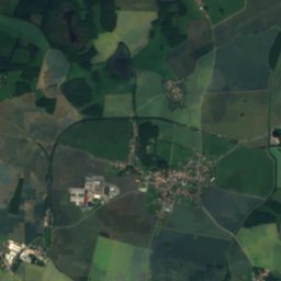
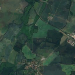
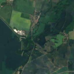
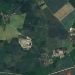
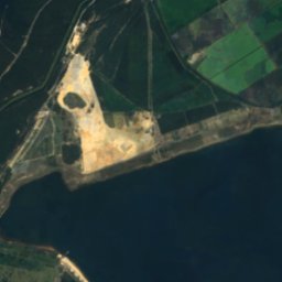
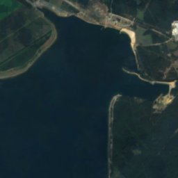
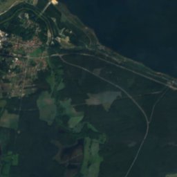
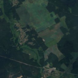
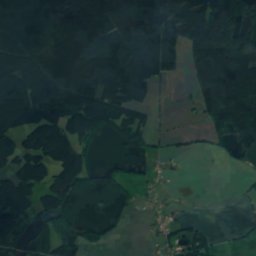
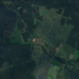
Satellite: Sentinel-2 cloudless 2016 by EOX IT Services GmbH · CC BY 4.0 · Contains modified Copernicus Sentinel data 2016
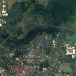
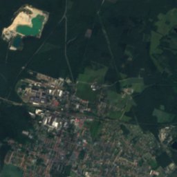
Bautzen ReservoirLake11 kmSWBautzen Reservoir
Photo: McBernie · CC BY-SA 3.0 · Wikimedia CommonsReport this photo · linked, not stored
Bärwalder SeeLake11 kmNBärwalder See
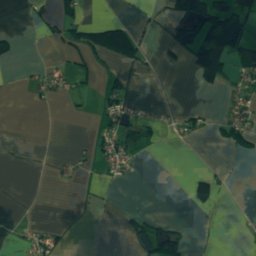
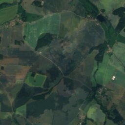
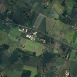
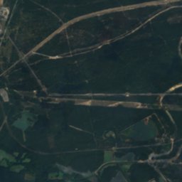
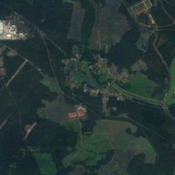
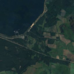
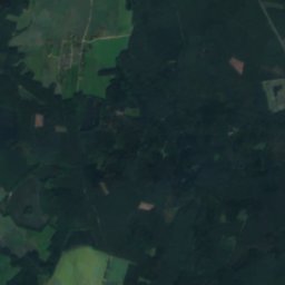
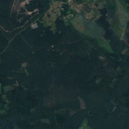
Satellite: Sentinel-2 cloudless 2016 by EOX IT Services GmbH · CC BY 4.0 · Contains modified Copernicus Sentinel data 2016
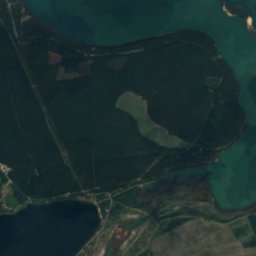
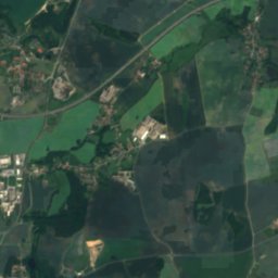
Schloß-Teich, SaxonyLake11 kmNSchloß-Teich, Saxony
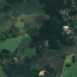
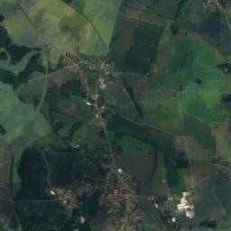
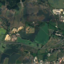
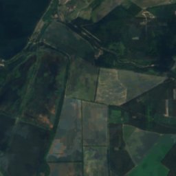
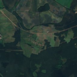
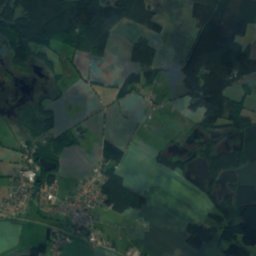
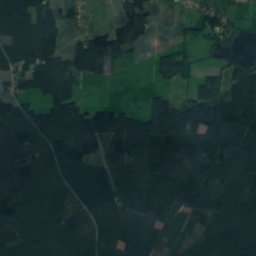
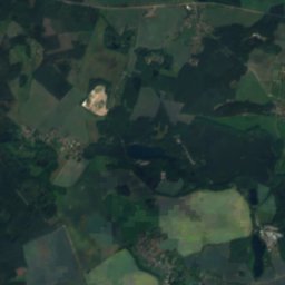
Satellite: Sentinel-2 cloudless 2016 by EOX IT Services GmbH · CC BY 4.0 · Contains modified Copernicus Sentinel data 2016
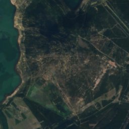
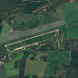
Speicherbecken QuitzdorfLake12 kmESpeicherbecken Quitzdorf
Summits nearbyMountains of Germany
Photo: Julian Nyča · CC BY-SA 4.0 · Wikimedia CommonsReport this photo · linked, not stored
Czorneboh18 km S557 mJuly 23°Czorneboh
Photo: Gumideck · CC BY-SA 4.0 · Wikimedia CommonsReport this photo · linked, not stored
Hochstein (Lawalde)18 km S541 mJuly 23°Hochstein (Lawalde)
Photo: Gumideck · CC BY-SA 4.0 · Wikimedia CommonsReport this photo · linked, not stored
Hromadnik18 km S511 mJuly 23°Hromadnik
Photo: Gumideck · CC BY-SA 4.0 · Wikimedia CommonsReport this photo · linked, not stored
Sornßiger Berg17 km S504 mJuly 23°Sornßiger Berg
Photo: Gumideck · CC BY-SA 4.0 · Wikimedia CommonsReport this photo · linked, not stored
Großer Picho25 km SW498 mJuly 23°Großer Picho
Photo: Gumideck · CC BY-SA 4.0 · Wikimedia CommonsReport this photo · linked, not stored
Bieleboh22 km S497 mJuly 23°Bieleboh
Stay nearby

Towns close by

Guttau
Photo: Frank Vincentz · CC BY-SA 3.0 · Wikimedia CommonsReport this photo · linked, not stored

Guttau

Saxony · 2.6 km SW
14°Oct high
10wet days
49score
Guttau
Baruth
Photo: PaulT (Gunther Tschuch) · CC BY-SA 4.0 · Wikimedia CommonsReport this photo · linked, not stored

Baruth

Saxony · 5.1 km S
14°Oct high
10wet days
48score
Baruth
Hohendubrau
Photo: Oberlausitzerin64 · CC BY-SA 4.0 · Wikimedia CommonsReport this photo · linked, not stored

Hohendubrau

Saxony · 5.1 km E
14°Oct high
10wet days
47score
Hohendubrau
Malschwitz
Photo: j.budissin (Julian Nyča) · CC BY 3.0 · Wikimedia CommonsReport this photo · linked, not stored

Malschwitz

Saxony · 6.2 km SW
14°Oct high
10wet days
49score
Malschwitz
Around here

Guttau and around

Guttau
Photo: Frank Vincentz · CC BY-SA 3.0 · Wikimedia CommonsReport this photo · linked, not stored

Guttau

Saxony · Germany
May · Aug–Sepbest months
25°July high
145 maltitude
Guttau

Nature

Löbauer Wasser
Photo: Mike Krüger · CC BY-SA 3.0 · Wikimedia CommonsReport this photo · linked, not stored
2.3 km N

Löbauer Wasser

River · 140 m
Löbauer Wasser
Kotitzer Wasser
Photo: Julian Nyča · CC BY-SA 3.0 · Wikimedia CommonsReport this photo · linked, not stored
0.4 km SW

Kotitzer Wasser

River
Kotitzer Wasser
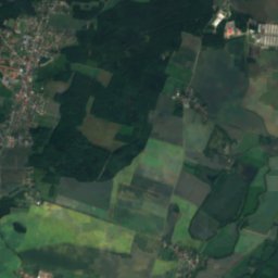
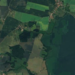
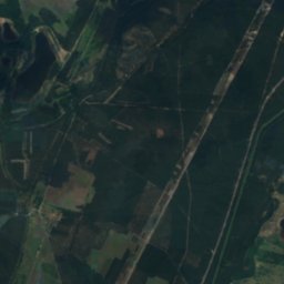
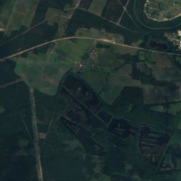
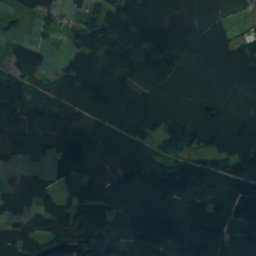
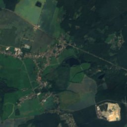
Satellite: Sentinel-2 cloudless 2016 by EOX IT Services GmbH · CC BY 4.0 · Contains modified Copernicus Sentinel data 2016
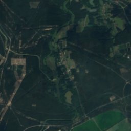
8.2 km SW

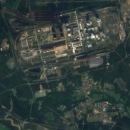
Bautzen Reservoir

Lake · 169 m
Bautzen Reservoir

Mountains

Hrazený
Photo: Gumideck · CC BY-SA 4.0 · Wikimedia CommonsReport this photo · linked, not stored
33 km S

Hrazený

608 m · Lusatian Highlands
Hrazený
Tanečnice, Ústí nad Labem Region
Photo: Gumideck · CC BY-SA 4.0 · Wikimedia CommonsReport this photo · linked, not stored
37 km SW

Tanečnice, Ústí nad Labem Region

599 m · Lusatian Highlands
Tanečnice, Ústí nad Labem Region
Plešný
Photo: Gumideck · CC BY-SA 4.0 · Wikimedia CommonsReport this photo · linked, not stored
35 km S

Plešný

593 m · Lusatian Highlands
Plešný

Heritage

Kirche Klix
Photo: lutzto · CC BY-SA 3.0 · Wikimedia CommonsReport this photo · linked, not stored
2.6 km W

Kirche Klix

heritage monument in Saxony · 1701
Kirche Klix
Kirche Guttau
Photo: Julian Nyča · CC BY-SA 4.0 · Wikimedia CommonsReport this photo · linked, not stored
0.1 km SW

Kirche Guttau

heritage monument in Saxony · 1816
Kirche Guttau
Schloss Spreewiese
Photo: Oberlausitzerin64 · CC BY-SA 4.0 · Wikimedia CommonsReport this photo · linked, not stored
2.4 km NW

Schloss Spreewiese

heritage monument in Saxony · 1557
Schloss Spreewiese

Museums

Haus der 1000 Teiche
Photo: Gunther Tschuch PaulT · CC BY-SA 3.0 · Wikimedia CommonsReport this photo · linked, not stored
2.1 km NE

Haus der 1000 Teiche

Visitor center
Haus der 1000 Teiche
Schule mit Gedenktafel für Korla Awgust Kocor (1822–1904) Warthaer Dorfstraße 30 (ehemals Dorfstraße 30)
Photo: Julian Nyča · CC BY-SA 3.0 · Wikimedia CommonsReport this photo · linked, not stored
2.4 km NE

Schule mit Gedenktafel für Korla Awgust Kocor (1822–1904) Warthaer Dorfstraße 30 (ehemals Dorfstraße 30)

1898
Schule mit Gedenktafel für Korla Awgust Kocor (1822–1904) Warthaer Dorfstraße 30 (ehemals Dorfstraße 30)
Sorbian Museum
Photo: Frank Vincentz · CC BY-SA 3.0 · Wikimedia CommonsReport this photo · linked, not stored
13 km SW

Sorbian Museum

1904
Sorbian Museum