Skip to content
Destinations
Weather & climate
Nature
Outdoors
Culture
Events
Sky & live
Oelse
Photo: Lienhard Schulz · CC BY-SA 3.0 · Wikimedia Commons
OelseReport this photo · linked, not stored
Ranziger See
Photo: Lienhard Schulz · CC BY-SA 3.0 · Wikimedia Commons
Ranziger SeeReport this photo · linked, not stored
Ranziger See
Dubrower Berge
Photo: Phil Froide · Public domain · Wikimedia Commons
Dubrower BergeReport this photo · linked, not stored
Dubrower Berge
RiverBeeskow, Brandenburg

Oelse

RiverBest May · Aug–Sep
Elevation–above sea level
Length22 kmsource to mouth
Nearest townBeeskow1.2 km
52.18° N, 14.26° EUTC+2 · Central European Summer Time
When to goBeeskow · weather score
JanFebMarAprMayJunJulAugSepOctNovDec50October
Best timeMay · Aug–Sep
October: high / low14° / 6°
River

Oelse in brief

Oelse is a river in Beeskow, Brandenburg, Germany.

The nearest town in the atlas is Beeskow, 1.2 km to the W, where the weather is best in May, August and September.

Oelse is 22 km long.

Beeskow: weather and travel guide

Weather nearby now

Forecast for Beeskow
7°
Clear now
Wind12 km/h
Humidity82%
Cloud cover0%
Today
23 Oct
15°
4°
1 mm
Sat
24 Oct
12°
6°
2 mm
Sun
25 Oct
12°
5°
12 mm
Mon
26 Oct
12°
6°
2 mm
Tue
27 Oct
14°
4°
1 mm

Model run 12:00 UTCRefreshed several times a day

When to go

The best months around Oelse

Climate of Beeskow

Month score in Beeskow

Comfort, dry days and sunshine · out of 100
19
Jan
28
Feb
27
Mar
65
Apr
70
May
69
Jun
63
Jul
70
Aug
74
Sep
50
Oct
25
Nov
19
Dec
Map

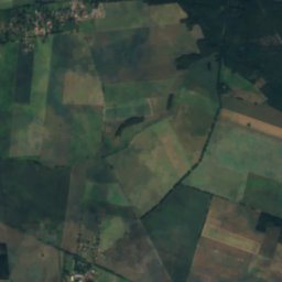
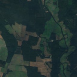
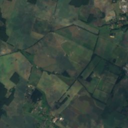
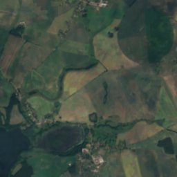
Oelse from above

Nature nearbyAll of Germany
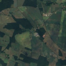
Satellite: Sentinel-2 cloudless 2016 by EOX IT Services GmbH · CC BY 4.0 · Contains modified Copernicus Sentinel data 2016
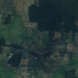
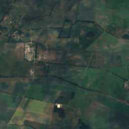
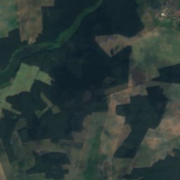
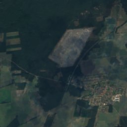
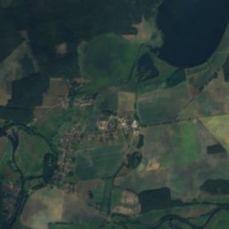
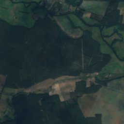
ÖgelseeLake2.6 kmNÖgelsee
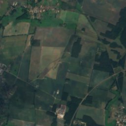
Satellite: Sentinel-2 cloudless 2016 by EOX IT Services GmbH · CC BY 4.0 · Contains modified Copernicus Sentinel data 2016
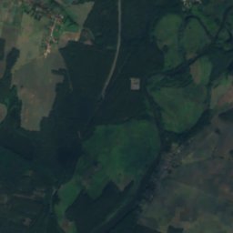
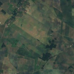
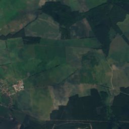
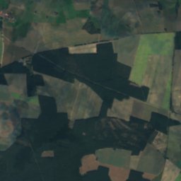
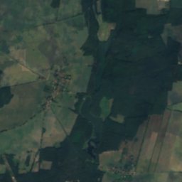
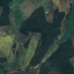
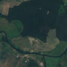
Zeuster SeeLake5.2 kmSZeuster See
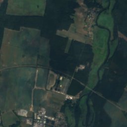
Satellite: Sentinel-2 cloudless 2016 by EOX IT Services GmbH · CC BY 4.0 · Contains modified Copernicus Sentinel data 2016
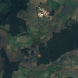
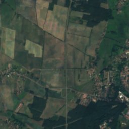
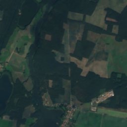
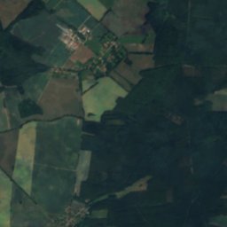
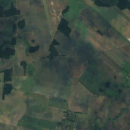
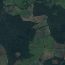
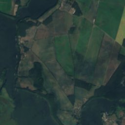
Karausch-SeeLake5.2 kmNEKarausch-See
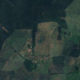
Satellite: Sentinel-2 cloudless 2016 by EOX IT Services GmbH · CC BY 4.0 · Contains modified Copernicus Sentinel data 2016
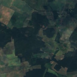
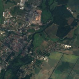
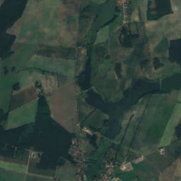
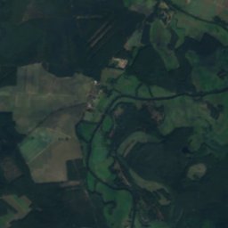
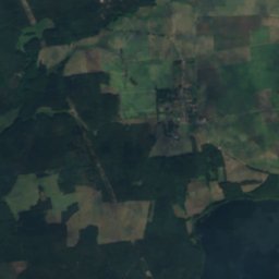
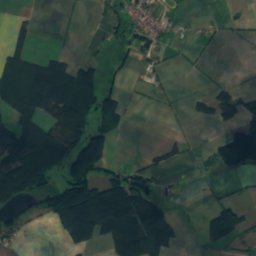
LeipseeLake5.8 kmSWLeipsee
Photo: Lienhard Schulz · CC BY-SA 3.0 · Wikimedia CommonsReport this photo · linked, not stored
Ranziger SeeLake8.4 kmSWRanziger See
Satellite: Sentinel-2 cloudless 2016 by EOX IT Services GmbH · CC BY 4.0 · Contains modified Copernicus Sentinel data 2016
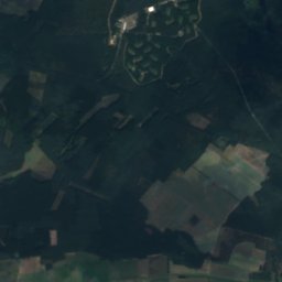
Leißnitz-SeeLake8.6 kmSWLeißnitz-See
Summits nearbyMountains of Germany
Photo: Phil Froide · Public domain · Wikimedia CommonsReport this photo · linked, not stored
Dubrower Berge18 km NW150 mJuly 25°Dubrower Berge
Stay nearby

Towns close by

Beeskow
Photo: J.Rzadkowski · CC BY-SA 3.0 · Wikimedia CommonsReport this photo · linked, not stored

Beeskow

Brandenburg · 1.2 km W
14°Oct high
10wet days
50score
Beeskow
Tauche
Photo: Clemensfranz · CC BY-SA 4.0 · Wikimedia CommonsReport this photo · linked, not stored

Tauche

Brandenburg · 7.2 km SW
14°Oct high
10wet days
49score
Tauche
Friedland
Photo: K. Martens · CC BY-SA 3.0 · Wikimedia CommonsReport this photo · linked, not stored

Friedland

Brandenburg · 8.0 km S
14°Oct high
10wet days
50score
Friedland
Rietz-Neuendorf
Photo: Clemensfranz · CC BY-SA 3.0 · Wikimedia CommonsReport this photo · linked, not stored

Rietz-Neuendorf

Brandenburg · 8.2 km NW
14°Oct high
10wet days
48score
Rietz-Neuendorf
Around here

Beeskow and around

Beeskow
Photo: J.Rzadkowski · CC BY-SA 3.0 · Wikimedia CommonsReport this photo · linked, not stored

Beeskow

Brandenburg · Germany
May · Aug–Sepbest months
25°July high
46 maltitude
Beeskow

Nature

Demnitz
Photo: Lienhard Schulz · CC BY-SA 3.0 · Wikimedia CommonsReport this photo · linked, not stored
12 km E

Demnitz

River
Demnitz
Ranziger See
Photo: Lienhard Schulz · CC BY-SA 3.0 · Wikimedia CommonsReport this photo · linked, not stored
7.5 km SW

Ranziger See

Lake · 42 m
Ranziger See
Oelsener See
Photo: Lienhard Schulz · CC BY-SA 3.0 · Wikimedia CommonsReport this photo · linked, not stored
12 km SE

Oelsener See

Lake · 50 m
Oelsener See

Mountains

Dubrower Berge
Photo: Phil Froide · Public domain · Wikimedia CommonsReport this photo · linked, not stored
18 km NW

Dubrower Berge

150 m
Dubrower Berge
Kolberg
Photo: Assenmacher · CC BY-SA 4.0 · Wikimedia CommonsReport this photo · linked, not stored
30 km W

Kolberg

91 m
Kolberg

Heritage

St.Mary's church Beeskow
Photo: Schmidti · CC BY-SA 3.0 · Wikimedia CommonsReport this photo · linked, not stored
0.2 km SE

St.Mary's church Beeskow

architectural heritage monument in Brandenburg · 1230
St.Mary's church Beeskow
Heilig Geist, Beeskow
Photo: J.-H. Janßen · CC BY-SA 4.0 · Wikimedia CommonsReport this photo · linked, not stored
0.4 km W

Heilig Geist, Beeskow

architectural heritage monument in Brandenburg
Heilig Geist, Beeskow
Beeskow railway station
Photo: Global Fish · CC BY-SA 3.0 · Wikimedia CommonsReport this photo · linked, not stored
0.6 km NE

Beeskow railway station

architectural heritage monument
Beeskow railway station

Museums

Musik-Museum Beeskow
Photo: A.Savin · CC BY-SA 3.0 · Wikimedia CommonsReport this photo · linked, not stored
0.5 km SE

Musik-Museum Beeskow

Music museum
Musik-Museum Beeskow
Satellite: Sentinel-2 cloudless 2016 by EOX IT Services GmbH · CC BY 4.0 · Contains modified Copernicus Sentinel data 2016
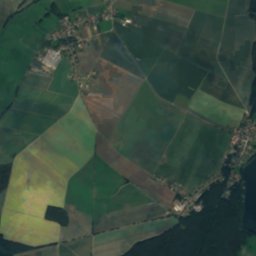
0.5 km SE

Regionalmuseum Burg Beeskow

Regionalmuseum Burg Beeskow
Wettermuseum Lindenberg
Photo: Butcherbird · CC BY-SA 4.0 · Wikimedia CommonsReport this photo · linked, not stored
9.8 km NW

Wettermuseum Lindenberg

Wettermuseum Lindenberg