Skip to content
Destinations
Weather & climate
Nature
Outdoors
Culture
Events
Sky & live
Nuhne
Photo: SteveK · CC BY-SA 3.0 · Wikimedia Commons
NuhneReport this photo · linked, not stored
Sonneborn
Photo: SteveK · CC BY-SA 3.0 · Wikimedia Commons
SonnebornReport this photo · linked, not stored
Sonneborn
Liese (Nuhne)
Photo: Arnoldius · CC BY-SA 4.0 · Wikimedia Commons
Liese (Nuhne)Report this photo · linked, not stored
Liese (Nuhne)
Linspherbach
Photo: Linsphertäler · CC BY-SA 4.0 · Wikimedia Commons
LinspherbachReport this photo · linked, not stored
Linspherbach
Langenberg (Rothaar)
Photo: Jörg Braukmann · CC BY-SA 4.0 · Wikimedia Commons
Langenberg (Rothaar)Report this photo · linked, not stored
Langenberg (Rothaar)
RiverLiesen, North Rhine-Westphalia

Nuhne

River266 m elevationBest Jun · Aug–Sep
Elevation266 mabove sea level
Length36 kmsource to mouth
Nearest townLiesen4.0 km
51.15° N, 8.57° EElevation 266 mUTC+2 · Central European Summer Time
When to goLiesen · weather score
JanFebMarAprMayJunJulAugSepOctNovDec30October
Best timeJun · Aug–Sep
October: high / low12° / 5°
River

Nuhne in brief

Nuhne is a river in Liesen, North Rhine-Westphalia, Germany.

It lies at 266 m above sea level.

The nearest town in the atlas is Liesen, 4.0 km to the SE, where the weather is best in June, August and September.

Nuhne is 36 km long.

Liesen: weather and travel guide

Weather nearby now

Forecast for Liesen
8°
Cloudy now
Wind21 km/h
Humidity91%
Cloud cover100%
Today
22 Oct
10°
3°
1 mm
Fri
23 Oct
9°
5°
8 mm
Sat
24 Oct
8°
3°
12 mm
Sun
25 Oct
9°
5°
26 mm
Mon
26 Oct
9°
4°
2 mm

Model run 00:00 UTCRefreshed several times a day

The course of the river

As mapped in OpenStreetMap, with the towns of the atlas along its banks.
12345
  1. 1Liesen451 m
  2. 2Hallenberg425 m
  3. 3Bromskirchen449 m
  4. 4Braunshausen377 m
  5. 5Frankenberg314 m
sourcemouth (or where the mapped line leaves the country)
When to go

The best months around Nuhne

Climate of Liesen

Month score in Liesen

Comfort, dry days and sunshine · out of 100
13
Jan
20
Feb
19
Mar
42
Apr
59
May
65
Jun
64
Jul
65
Aug
65
Sep
30
Oct
13
Nov
11
Dec
Map

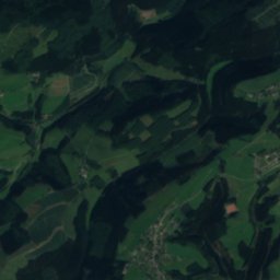
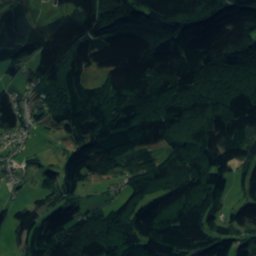
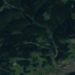
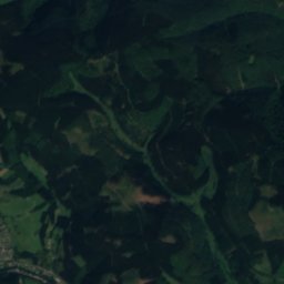
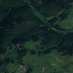
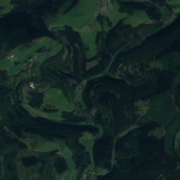
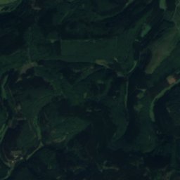
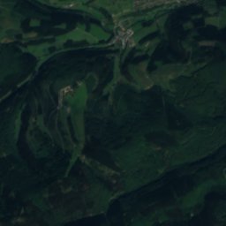
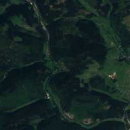
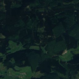
Nuhne from above

Nature nearbyAll of Germany
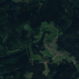
Satellite: Sentinel-2 cloudless 2016 by EOX IT Services GmbH · CC BY 4.0 · Contains modified Copernicus Sentinel data 2016
AhreRiverunder 100 mSAhre
Photo: SteveK · CC BY-SA 3.0 · Wikimedia CommonsReport this photo · linked, not stored
SonnebornRiverunder 100 mSSonneborn
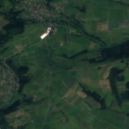
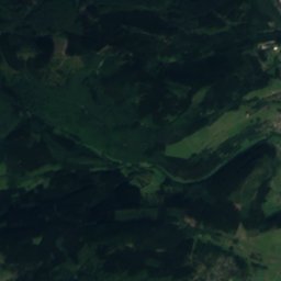
Satellite: Sentinel-2 cloudless 2016 by EOX IT Services GmbH · CC BY 4.0 · Contains modified Copernicus Sentinel data 2016
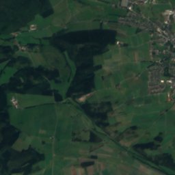
Olfe (Nuhne)River3.6 kmEOlfe (Nuhne)
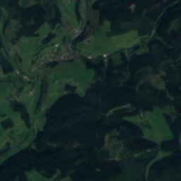
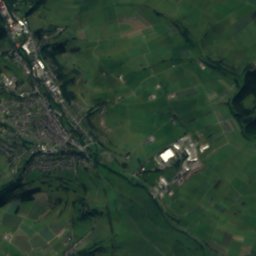
Satellite: Sentinel-2 cloudless 2016 by EOX IT Services GmbH · CC BY 4.0 · Contains modified Copernicus Sentinel data 2016
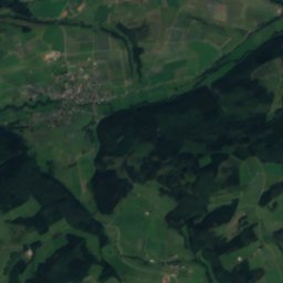
WeifeRiver3.9 kmSWeife
Photo: Arnoldius · CC BY-SA 4.0 · Wikimedia CommonsReport this photo · linked, not stored
Liese (Nuhne)River4.5 kmSELiese (Nuhne)
Photo: Linsphertäler · CC BY-SA 4.0 · Wikimedia CommonsReport this photo · linked, not stored
LinspherbachRiver5.4 kmSLinspherbach
Summits nearbyMountains of Germany
Photo: Jörg Braukmann · CC BY-SA 4.0 · Wikimedia CommonsReport this photo · linked, not stored
Langenberg (Rothaar)14 km N844 mJuly 19°Langenberg (Rothaar)
Photo: Sorpetaler07 · CC BY 3.0 · Wikimedia CommonsReport this photo · linked, not stored
Hegekopf13 km N843 mJuly 19°Hegekopf
Photo: Teta · CC BY-SA 3.0 · Wikimedia CommonsReport this photo · linked, not stored
Kahler Asten6.1 km NW842 mJuly 19°Kahler Asten
Photo: Jörg Braukmann · CC BY-SA 4.0 · Wikimedia CommonsReport this photo · linked, not stored
Ettelsberg14 km N838 mJuly 19°Ettelsberg
Photo: Schmidti 1977 18:07, 5. Aug. 2009 (CEST) · CC BY-SA 3.0 · Wikimedia CommonsReport this photo · linked, not stored
Clemensberg11 km N837 mJuly 19°Clemensberg
Photo: Teta · CC BY-SA 3.0 · Wikimedia CommonsReport this photo · linked, not stored
Hopperkopf11 km N832 mJuly 19°Hopperkopf
Stay nearby

Towns close by

Liesen
Photo: Teta · CC BY-SA 3.0 · Wikimedia CommonsReport this photo · linked, not stored

Liesen

North Rhine-Westphalia · 4.0 km SE
12°Oct high
13wet days
30score
Liesen
Hesborn
Photo: Rmbonn · CC BY 3.0 · Wikimedia CommonsReport this photo · linked, not stored

Hesborn

North Rhine-Westphalia · 4.2 km E
12°Oct high
13wet days
29score
Hesborn
Winterberg
Photo: User: Celsius at wikivoyage shared · CC BY-SA 3.0 · Wikimedia CommonsReport this photo · linked, not stored

Winterberg

North Rhine-Westphalia · 4.9 km NW
11°Oct high
13wet days
21score
Winterberg
Neuastenberg
Photo: Teta · CC BY-SA 3.0 · Wikimedia CommonsReport this photo · linked, not stored

Neuastenberg

North Rhine-Westphalia · 6.0 km W
10°Oct high
13wet days
18score
Neuastenberg
Around here

Liesen and around

Liesen
Photo: Teta · CC BY-SA 3.0 · Wikimedia CommonsReport this photo · linked, not stored

Liesen

North Rhine-Westphalia · Germany
Jun · Aug–Sepbest months
22°July high
451 maltitude
Liesen

Nature

Linspherbach
Photo: Linsphertäler · CC BY-SA 4.0 · Wikimedia CommonsReport this photo · linked, not stored
5.2 km SW

Linspherbach

River
Linspherbach
Orke
Photo: Dampftrain · CC BY-SA 4.0 · Wikimedia CommonsReport this photo · linked, not stored
9.8 km N

Orke

River · 255 m
Orke
Sonneborn
Photo: SteveK · CC BY-SA 3.0 · Wikimedia CommonsReport this photo · linked, not stored
4.0 km NW

Sonneborn

River
Sonneborn

Mountains

Langenberg (Rothaar)
Photo: Jörg Braukmann · CC BY-SA 4.0 · Wikimedia CommonsReport this photo · linked, not stored
16 km N

Langenberg (Rothaar)

844 m · Rothaar Mountains
Langenberg (Rothaar)
Hegekopf
Photo: Sorpetaler07 · CC BY 3.0 · Wikimedia CommonsReport this photo · linked, not stored
15 km N

Hegekopf

843 m · Rothaar Mountains
Hegekopf
Kahler Asten
Photo: Teta · CC BY-SA 3.0 · Wikimedia CommonsReport this photo · linked, not stored
10 km NW

Kahler Asten

842 m · Rothaar Mountains
Kahler Asten

Heritage

Alte Pfarrkirche St. Thomas
Photo: Asio otus · CC BY-SA 3.0 · Wikimedia CommonsReport this photo · linked, not stored
0.3 km NE

Alte Pfarrkirche St. Thomas

architectural heritage monument in North Rhine-Westphalia
Alte Pfarrkirche St. Thomas
St.-Heribert-Kirche
Photo: Michael Kramer · CC BY-SA 3.0 · Wikimedia CommonsReport this photo · linked, not stored
2.3 km SE

St.-Heribert-Kirche

architectural heritage monument in North Rhine-Westphalia
St.-Heribert-Kirche
St. Goar
Photo: StadtHallenberg · CC BY-SA 3.0 · Wikimedia CommonsReport this photo · linked, not stored
2.0 km NE

St. Goar

architectural heritage monument in North Rhine-Westphalia
St. Goar

Museums

Städtisches Museum Medebach
Photo: Bubo · CC BY-SA 3.0 · Wikimedia CommonsReport this photo · linked, not stored
9.5 km NE

Städtisches Museum Medebach

Local museum · 1989
Städtisches Museum Medebach
Westdeutsches Wintersport-Museum
Photo: Stefan Flöper / Wikimedia Commons · CC BY-SA 4.0 · Wikimedia CommonsReport this photo · linked, not stored
9.7 km W

Westdeutsches Wintersport-Museum

1998
Westdeutsches Wintersport-Museum
Satellite: Sentinel-2 cloudless 2016 by EOX IT Services GmbH · CC BY 4.0 · Contains modified Copernicus Sentinel data 2016
11 km W

Die Drehkoite Girkhausen

Die Drehkoite Girkhausen