Skip to content
Destinations
Weather & climate
Nature
Outdoors
Culture
Events
Sky & live
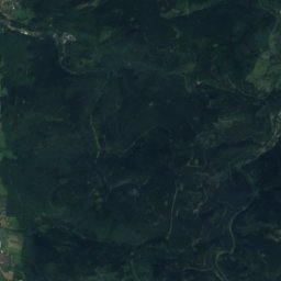
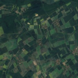
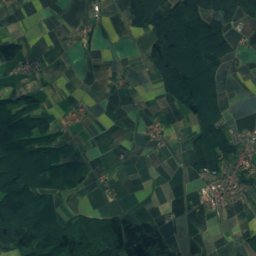
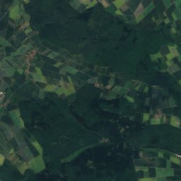
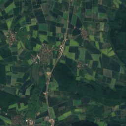
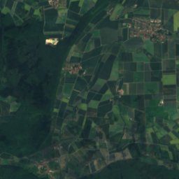
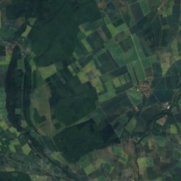
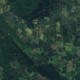
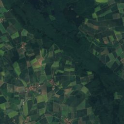
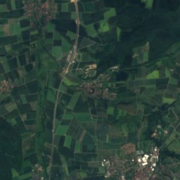
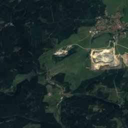
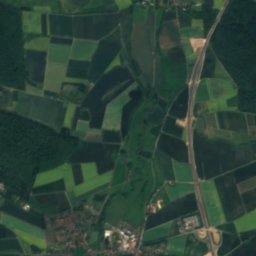
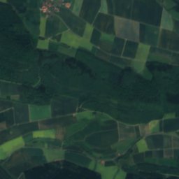
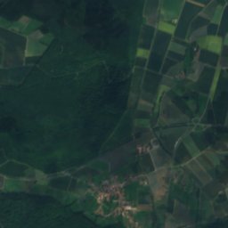
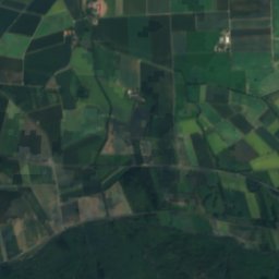
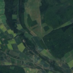
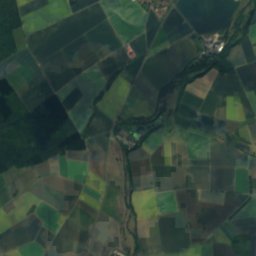
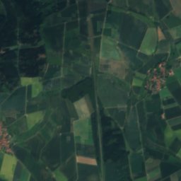
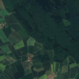
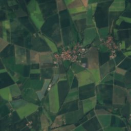
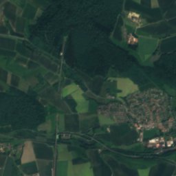
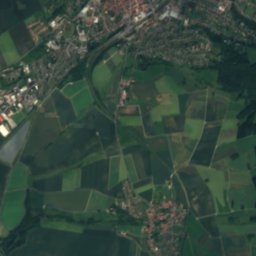
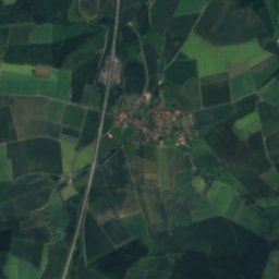
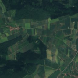
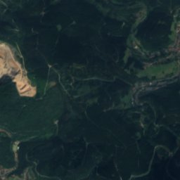
Satellite: Sentinel-2 cloudless 2016 by EOX IT Services GmbH · CC BY 4.0 · Contains modified Copernicus Sentinel data 2016
Laute
Photo: Torbenbrinker · CC BY-SA 3.0 · Wikimedia Commons
LauteReport this photo · linked, not stored
Laute
Iberg Dripstone Cave
Photo: Siegbert Brey · CC BY-SA 4.0 · Wikimedia Commons
Iberg Dripstone CaveReport this photo · linked, not stored
Iberg Dripstone Cave
Grumbach, Lower Saxony
Photo: JuTe CLZ · Public domain · Wikimedia Commons
Grumbach, Lower SaxonyReport this photo · linked, not stored
Grumbach, Lower Saxony
Schildau
Photo: Thomas Binder · CC BY-SA 4.0 · Wikimedia Commons
SchildauReport this photo · linked, not stored
Schildau
RiverSeesen, Lower Saxony

Nette (Innerste)

RiverBest May–Jun · Sep
Elevation–above sea level
Length43 kmsource to mouth
Nearest townSeesen2.7 km
51.87° N, 10.19° EUTC+1 · Central European Standard Time
When to goSeesen · weather score
JanFebMarAprMayJunJulAugSepOctNovDec40October
Best timeMay–Jun · Sep
October: high / low13° / 6°
River

Nette (Innerste) in brief

Nette (Innerste) is a river in Seesen, Lower Saxony, Germany — river with destination Innerste.

The nearest town is Seesen, 2.7 km to the N, where the weather is best in May, June and September.

Nette (Innerste) is 43 km long.

Seesen: weather and travel guide

Weather nearby now

Forecast for Seesen
13°
Clear now
Wind23 km/h
Humidity80%
Cloud cover3%
Today
27 Oct
16°
9°
Wed
28 Oct
14°
7°
1 mm
Thu
29 Oct
12°
6°
Fri
30 Oct
13°
7°
Sat
31 Oct
10°
7°

Model run 00:00 UTCRefreshed several times a day

The course of the river

As mapped in OpenStreetMap, with the towns along its banks.
123
  1. 1Bockenem122 m
  2. 2Haverlah129 m
  3. 3Holle111 m
sourcemouth (or where the mapped line leaves the country)
When to go

The best months around Nette (Innerste)

Climate of Seesen

Month score in Seesen

Comfort, dry days and sunshine · out of 100
Map

Nette (Innerste) from above

Nature nearbyAll of Germany
Photo: Torbenbrinker · CC BY-SA 3.0 · Wikimedia CommonsReport this photo · linked, not stored
LauteRiver6.9 kmELaute
Photo: Siegbert Brey · CC BY-SA 4.0 · Wikimedia CommonsReport this photo · linked, not stored
Iberg Dripstone CaveCave7.2 kmSEIberg Dripstone Cave
Photo: JuTe CLZ · Public domain · Wikimedia CommonsReport this photo · linked, not stored
Grumbach, Lower SaxonyRiver7.9 kmSEGrumbach, Lower Saxony
Photo: Thomas Binder · CC BY-SA 4.0 · Wikimedia CommonsReport this photo · linked, not stored
SchildauRiver8.0 kmNWSchildau
Photo: BRFBlake · CC BY-SA 3.0 · Wikimedia CommonsReport this photo · linked, not stored
Lower Grumbach PondLake8.2 kmELower Grumbach Pond
Photo: Kryp · CC0 · Wikimedia CommonsReport this photo · linked, not stored
Innerste ReservoirLake8.2 kmNEInnerste Reservoir
Summits nearbyMountains of Germany
Photo: Unknown author · CC BY-SA 3.0 · Wikimedia CommonsReport this photo · linked, not stored
Bruchberg24 km SE928 mJuly 18°Bruchberg
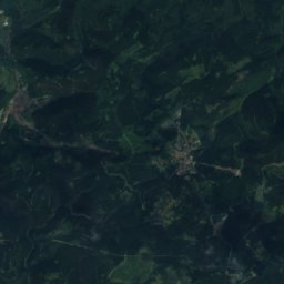
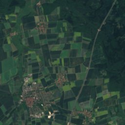
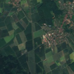
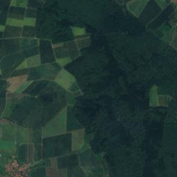
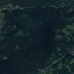
Satellite: Sentinel-2 cloudless 2016 by EOX IT Services GmbH · CC BY 4.0 · Contains modified Copernicus Sentinel data 2016
Wolfswarte23 km E920 mJuly 18°Wolfswarte
Photo: Waldmaus · CC BY-SA 3.0 · Wikimedia CommonsReport this photo · linked, not stored
Auf dem Acker22 km SE865 mJuly 19°Auf dem Acker
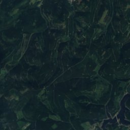
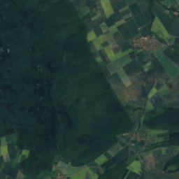
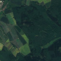
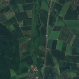
Satellite: Sentinel-2 cloudless 2016 by EOX IT Services GmbH · CC BY 4.0 · Contains modified Copernicus Sentinel data 2016
Steinkopf, Lower Saxony22 km SE853 mJuly 19°Steinkopf, Lower Saxony
Photo: I, ArtMechanic · CC BY-SA 3.0 · Wikimedia CommonsReport this photo · linked, not stored
Lerchenköpfe25 km E821 mJuly 19°Lerchenköpfe
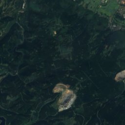
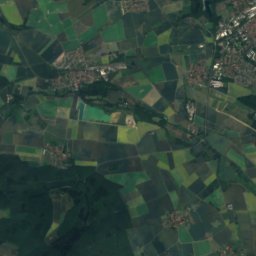
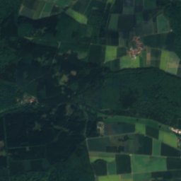
Satellite: Sentinel-2 cloudless 2016 by EOX IT Services GmbH · CC BY 4.0 · Contains modified Copernicus Sentinel data 2016
Dänenkopf24 km E775 mJuly 19°Dänenkopf
Stay nearby

Towns close by

Seesen
Photo: User Zahlenmonster on de.wikipedia · CC BY-SA 3.0 · Wikimedia CommonsReport this photo · linked, not stored

Seesen

Lower Saxony · 2.7 km N
13°Oct high
12wet days
40score
Seesen
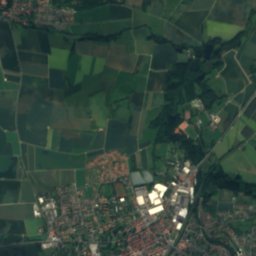
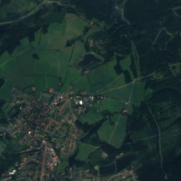
Satellite: Sentinel-2 cloudless 2016 by EOX IT Services GmbH · CC BY 4.0 · Contains modified Copernicus Sentinel data 2016

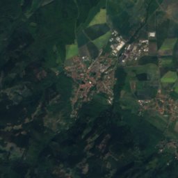
Bornhausen

Lower Saxony · 6.1 km N
14°Oct high
12wet days
41score
Bornhausen
Bad Grund
Photo: Traveler100 · CC BY-SA 3.0 · Wikimedia CommonsReport this photo · linked, not stored

Bad Grund

Lower Saxony · 7.2 km SE
13°Oct high
12wet days
33score
Bad Grund
Gittelde
Photo: Migebert · CC BY-SA 3.0 · Wikimedia CommonsReport this photo · linked, not stored

Gittelde

Lower Saxony · 7.6 km S
13°Oct high
12wet days
39score
Gittelde
Around here

Seesen and around

Seesen
Photo: User Zahlenmonster on de.wikipedia · CC BY-SA 3.0 · Wikimedia CommonsReport this photo · linked, not stored

Seesen

Lower Saxony · Germany
May–Jun · Sepbest months
24°July high
214 maltitude
Seesen

Nature

Iberg Dripstone Cave
Photo: Siegbert Brey · CC BY-SA 4.0 · Wikimedia CommonsReport this photo · linked, not stored
9.6 km SE

Iberg Dripstone Cave

Cave · 440 m
Iberg Dripstone Cave
Grumbach, Lower Saxony
Photo: JuTe CLZ · Public domain · Wikimedia CommonsReport this photo · linked, not stored
9.9 km SE

Grumbach, Lower Saxony

River
Grumbach, Lower Saxony
Laute
Photo: Torbenbrinker · CC BY-SA 3.0 · Wikimedia CommonsReport this photo · linked, not stored
7.7 km E

Laute

River · 304 m
Laute

Mountains

Brocken
Photo: Rosa-Maria Rinkl · CC BY-SA 4.0 · Wikimedia CommonsReport this photo · linked, not stored
32 km E

Brocken

1,141 m · Harz
Brocken
Satellite: Sentinel-2 cloudless 2016 by EOX IT Services GmbH · CC BY 4.0 · Contains modified Copernicus Sentinel data 2016
33 km E

Heinrichshöhe

1,045 m · Harz
Heinrichshöhe
Satellite: Sentinel-2 cloudless 2016 by EOX IT Services GmbH · CC BY 4.0 · Contains modified Copernicus Sentinel data 2016
31 km E

Königsberg (Brocken)

1,034 m · Harz
Königsberg (Brocken)

Heritage

St. Andreas, Seesen
Photo: Michielverbeek · CC BY-SA 4.0 · Wikimedia CommonsReport this photo · linked, not stored
0.4 km NW

St. Andreas, Seesen

architectural heritage monument in Lower Saxony
St. Andreas, Seesen
Marktkirche zum Heiligen Geist
Photo: Brück & Sohn Kunstverlag Meißen · CC0 · Wikimedia CommonsReport this photo · linked, not stored
14 km SE

Marktkirche zum Heiligen Geist

architectural heritage monument · 1937
Marktkirche zum Heiligen Geist
Upper Harz Water Regale
Photo: JuTe CLZ · Public domain · Wikimedia CommonsReport this photo · linked, not stored
14 km SE

Upper Harz Water Regale

part of UNESCO World Heritage Site
Upper Harz Water Regale

Museums

Städtisches Museum Seesen
Photo: Achim Bodewig · CC BY-SA 3.0 · Wikimedia CommonsReport this photo · linked, not stored
0.5 km W

Städtisches Museum Seesen

Städtisches Museum Seesen
Upper Harz Mining Museum
Photo: Axel Hindemith · Public domain · Wikimedia CommonsReport this photo · linked, not stored
14 km SE

Upper Harz Mining Museum

1892
Upper Harz Mining Museum
Turmuhrenmuseum Bockenem
Photo: Gerd Fahrenhorst · CC BY 3.0 · Wikimedia CommonsReport this photo · linked, not stored
14 km N

Turmuhrenmuseum Bockenem

Turmuhrenmuseum Bockenem