Skip to content
Destinations
Weather & climate
Nature
Outdoors
Culture
Events
Sky & live
Netphe
Photo: Dampftrain · CC BY-SA 4.0 · Wikimedia Commons
NetpheReport this photo · linked, not stored
Obernau
Photo: Dampftrain · CC BY-SA 3.0 · Wikimedia Commons
ObernauReport this photo · linked, not stored
Obernau
Grissenbach
Photo: Dampftrain · CC BY-SA 3.0 · Wikimedia Commons
GrissenbachReport this photo · linked, not stored
Grissenbach
Altwiesenbach
Photo: Dampftrain · CC BY-SA 3.0 · Wikimedia Commons
AltwiesenbachReport this photo · linked, not stored
Altwiesenbach
Härdler
Photo: Jörg Braukmann · CC BY-SA 4.0 · Wikimedia Commons
HärdlerReport this photo · linked, not stored
Härdler
RiverNetphen, North Rhine-Westphalia

Netphe

RiverBest Jul–Sep
Elevation–above sea level
Length11 kmsource to mouth
Nearest townNetphen0.5 km
50.91° N, 8.10° EUTC+2 · Central European Summer Time
When to goNetphen · weather score
JanFebMarAprMayJunJulAugSepOctNovDec33October
Best timeJul–Sep
October: high / low13° / 5°
River

Netphe in brief

Netphe is a river in Netphen, North Rhine-Westphalia, Germany.

The nearest town in the atlas is Netphen, 0.5 km to the NE, where the weather is best in July, August and September.

Netphe is 11 km long.

Netphen: weather and travel guide

Weather nearby now

Forecast for Netphen
9°
Rain now
Wind21 km/h
Humidity92%
Cloud cover95%
Today
22 Oct
10°
4°
2 mm
Fri
23 Oct
11°
6°
9 mm
Sat
24 Oct
10°
4°
12 mm
Sun
25 Oct
12°
6°
36 mm
Mon
26 Oct
11°
5°
3 mm

Model run 00:00 UTCRefreshed several times a day

When to go

The best months around Netphe

Climate of Netphen

Month score in Netphen

Comfort, dry days and sunshine · out of 100
13
Jan
17
Feb
18
Mar
49
Apr
62
May
62
Jun
63
Jul
64
Aug
68
Sep
33
Oct
12
Nov
11
Dec
Map

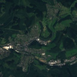
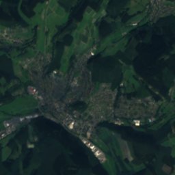
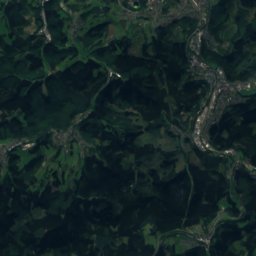
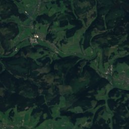
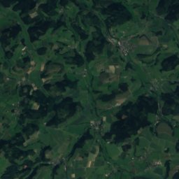
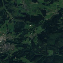
Netphe from above

Nature nearbyAll of Germany
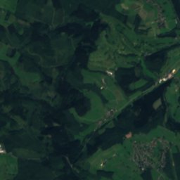
Satellite: Sentinel-2 cloudless 2016 by EOX IT Services GmbH · CC BY 4.0 · Contains modified Copernicus Sentinel data 2016
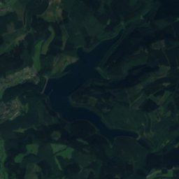
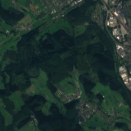
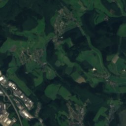
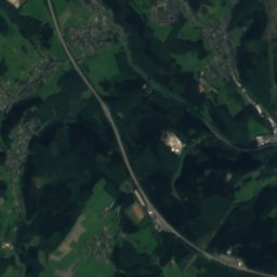
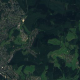
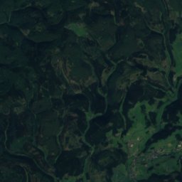
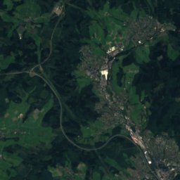
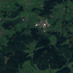
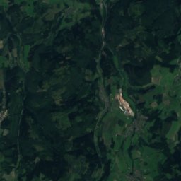
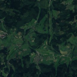
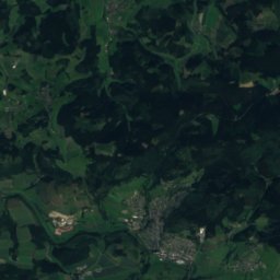
Dreisbach (Sieg)River3.7 kmWDreisbach (Sieg)
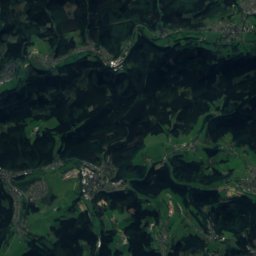
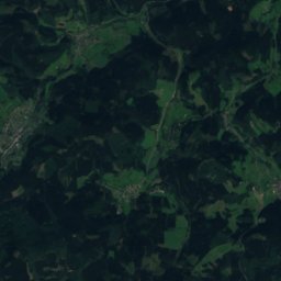
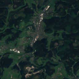
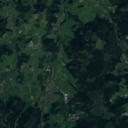
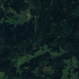
Satellite: Sentinel-2 cloudless 2016 by EOX IT Services GmbH · CC BY 4.0 · Contains modified Copernicus Sentinel data 2016
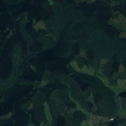
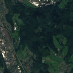
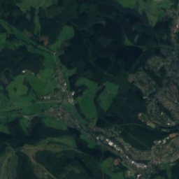
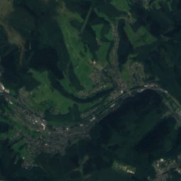
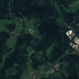
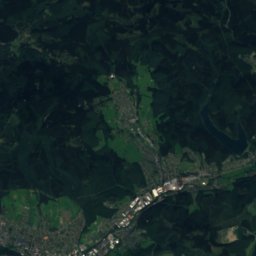
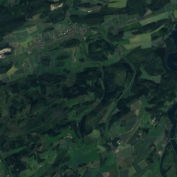
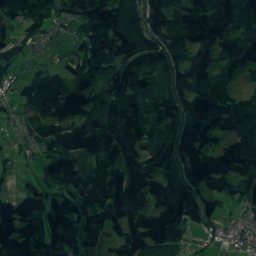
WerthenbachRiver4.8 kmSEWerthenbach
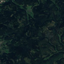
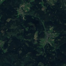
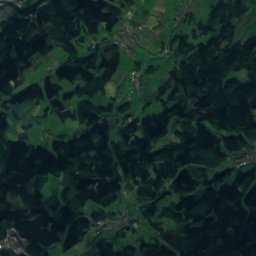
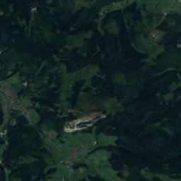
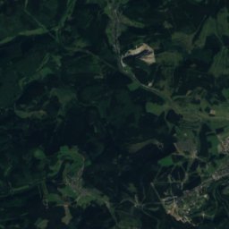
Satellite: Sentinel-2 cloudless 2016 by EOX IT Services GmbH · CC BY 4.0 · Contains modified Copernicus Sentinel data 2016
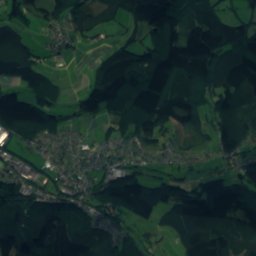
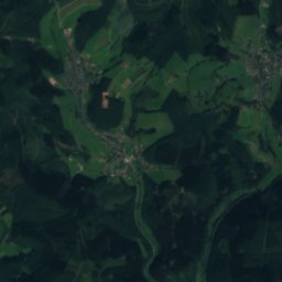
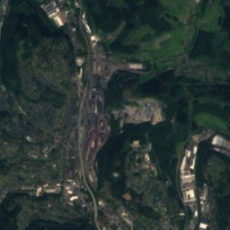
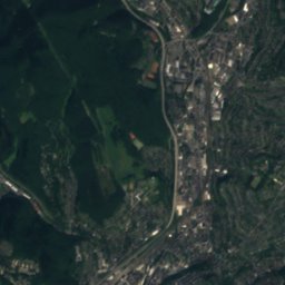
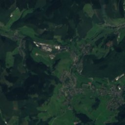
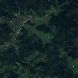
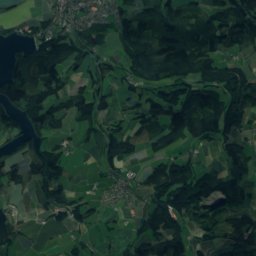
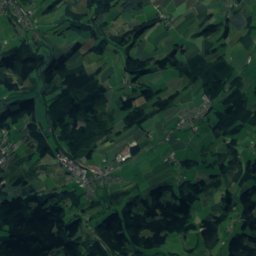
FerndorfbachRiver5.5 kmSWFerndorfbach
Photo: Dampftrain · CC BY-SA 3.0 · Wikimedia CommonsReport this photo · linked, not stored
ObernauRiver5.8 kmNEObernau
Photo: Dampftrain · CC BY-SA 3.0 · Wikimedia CommonsReport this photo · linked, not stored
GrissenbachRiver6.0 kmSEGrissenbach
Photo: Dampftrain · CC BY-SA 3.0 · Wikimedia CommonsReport this photo · linked, not stored
AltwiesenbachRiver6.1 kmSEAltwiesenbach
Summits nearbyMountains of Germany
Photo: Jörg Braukmann · CC BY-SA 4.0 · Wikimedia CommonsReport this photo · linked, not stored
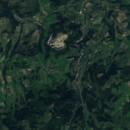
Härdler23 km NE756 mJuly 20°Härdler
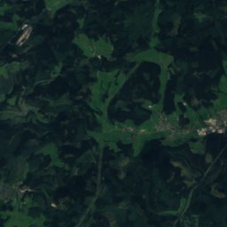
Satellite: Sentinel-2 cloudless 2016 by EOX IT Services GmbH · CC BY 4.0 · Contains modified Copernicus Sentinel data 2016
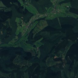
Hohe Hessel21 km NE744 mJuly 20°Hohe Hessel
Photo: Ernstl 81 · CC BY-SA 3.0 · Wikimedia CommonsReport this photo · linked, not stored
Ebschloh14 km NE686 mJuly 21°Ebschloh
Satellite: Sentinel-2 cloudless 2016 by EOX IT Services GmbH · CC BY 4.0 · Contains modified Copernicus Sentinel data 2016
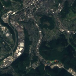
Riemen13 km NE678 mJuly 20°Riemen
Photo: Dieter Bald · CC BY-SA 4.0 · Wikimedia CommonsReport this photo · linked, not stored
Oberste Henn8.8 km E676 mJuly 20°Oberste Henn
Photo: Wikihunter99 · CC BY-SA 3.0 · Wikimedia CommonsReport this photo · linked, not stored
Jagd-Berg, Hesse13 km E676 mJuly 21°Jagd-Berg, Hesse
Stay nearby

Towns close by

Netphen
Photo: ThomasGerd · CC BY 3.0 · Wikimedia CommonsReport this photo · linked, not stored

Netphen

North Rhine-Westphalia · 0.5 km NE
13°Oct high
13wet days
33score
Netphen
Siegen
Photo: ngocchat1014 · CC BY 3.0 · Wikimedia CommonsReport this photo · linked, not stored

Siegen

North Rhine-Westphalia · 6.5 km SW
13°Oct high
13wet days
37score
Siegen
Hilchenbach
Photo: Uv22e · CC BY-SA 3.0 · Wikimedia CommonsReport this photo · linked, not stored

Hilchenbach

North Rhine-Westphalia · 9.4 km N
13°Oct high
13wet days
30score
Hilchenbach
Kreuztal
Photo: Bob Ionescu · Attribution · Wikimedia CommonsReport this photo · linked, not stored

Kreuztal

North Rhine-Westphalia · 9.6 km NW
13°Oct high
13wet days
34score
Kreuztal
Around here

Netphen and around

Netphen
Photo: ThomasGerd · CC BY 3.0 · Wikimedia CommonsReport this photo · linked, not stored

Netphen

North Rhine-Westphalia · Germany
Jul–Sepbest months
23°July high
300 maltitude
Netphen

Nature

Lahn
Photo: Unknown author · CC BY-SA 3.0 · Wikimedia CommonsReport this photo · linked, not stored
10 km E

Lahn

River · 67 m
Lahn
Eder (Fulda)
Photo: Feuermond16 · CC BY-SA 3.0 · Wikimedia CommonsReport this photo · linked, not stored
7.9 km E

Eder (Fulda)

River · 146 m
Eder (Fulda)
Benfe
Photo: Dieter Bald · CC BY-SA 4.0 · Wikimedia CommonsReport this photo · linked, not stored
7.5 km E

Benfe

River · 479 m
Benfe

Mountains

Kahler Asten
Photo: Teta · CC BY-SA 3.0 · Wikimedia CommonsReport this photo · linked, not stored
40 km NE

Kahler Asten

842 m · Rothaar Mountains
Kahler Asten
Satellite: Sentinel-2 cloudless 2016 by EOX IT Services GmbH · CC BY 4.0 · Contains modified Copernicus Sentinel data 2016
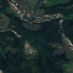
39 km NE

Hunau-Gipfel

818 m
Hunau-Gipfel
Ziegenhelle
Photo: Jörg Braukmann · CC BY-SA 4.0 · Wikimedia CommonsReport this photo · linked, not stored
38 km NE

Ziegenhelle

816 m
Ziegenhelle

Heritage

Satellite: Sentinel-2 cloudless 2016 by EOX IT Services GmbH · CC BY 4.0 · Contains modified Copernicus Sentinel data 2016
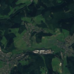
0.8 km SE

St. Martin's Church, Netphen

architectural heritage monument in North Rhine-Westphalia
St. Martin's Church, Netphen
Protestant Church Wilnsdorf
Photo: Dbawwsnrw · CC BY 3.0 · Wikimedia CommonsReport this photo · linked, not stored
11 km S

Protestant Church Wilnsdorf

architectural heritage monument in North Rhine-Westphalia
Protestant Church Wilnsdorf
Stift Keppel
Photo: Carsten Steger · CC BY-SA 4.0 · Wikimedia CommonsReport this photo · linked, not stored
6.7 km N

Stift Keppel

architectural heritage monument in North Rhine-Westphalia · 1189
Stift Keppel

Museums

Satellite: Sentinel-2 cloudless 2016 by EOX IT Services GmbH · CC BY 4.0 · Contains modified Copernicus Sentinel data 2016
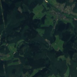
0.8 km SE

Heimatmuseum Netpherland

Heimatmuseum Netpherland
Museum für Gegenwartskunst Siegen
Photo: Hpschaefer www.reserv-art.de · CC BY-SA 3.0 · Wikimedia CommonsReport this photo · linked, not stored
7.2 km SW

Museum für Gegenwartskunst Siegen

2001
Museum für Gegenwartskunst Siegen
Aktives museum Südwestfalen
Photo: JCS · CC BY-SA 3.0 · Wikimedia CommonsReport this photo · linked, not stored
7.3 km SW

Aktives museum Südwestfalen

1992
Aktives museum Südwestfalen