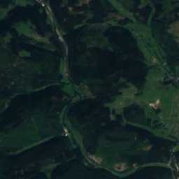
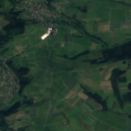
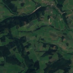
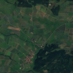
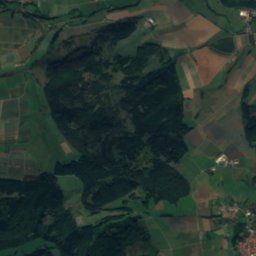
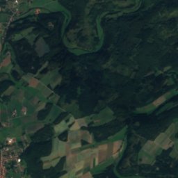
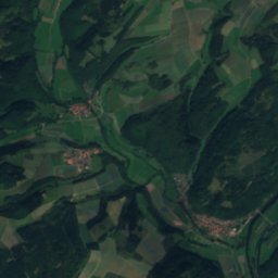
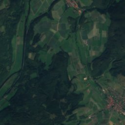
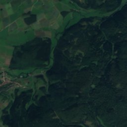
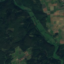
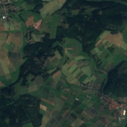
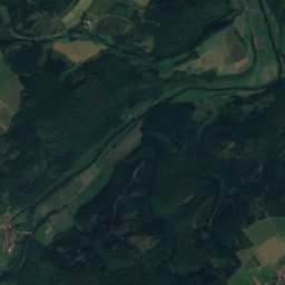
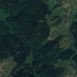
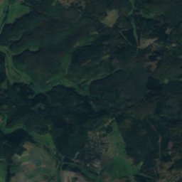
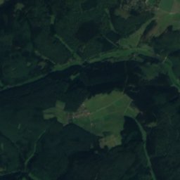
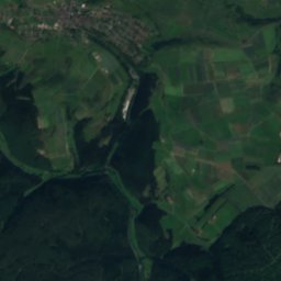
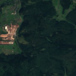
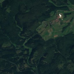
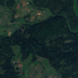
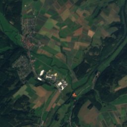
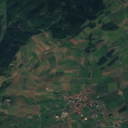
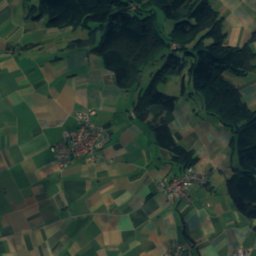
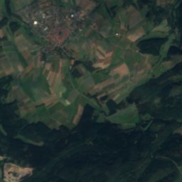
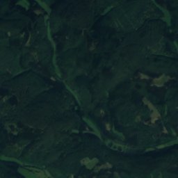
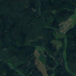
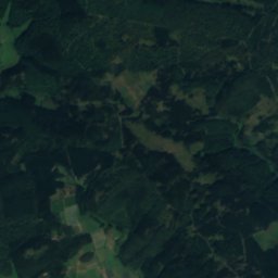
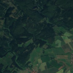
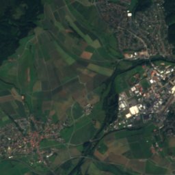
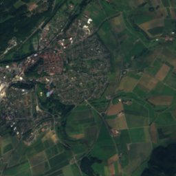
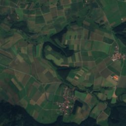
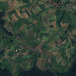
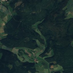
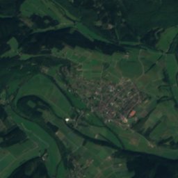
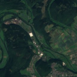
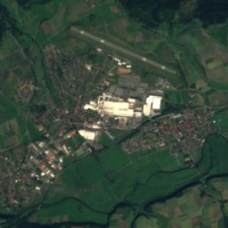
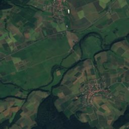
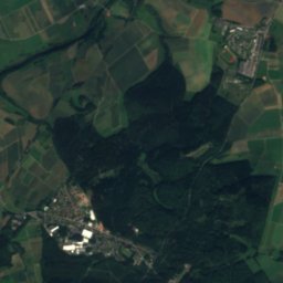
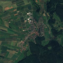
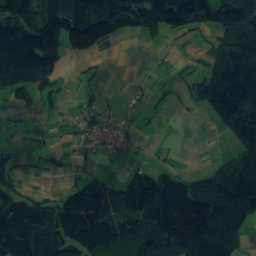
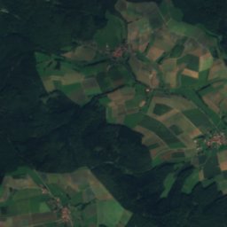
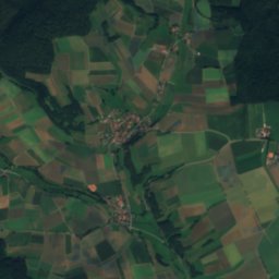
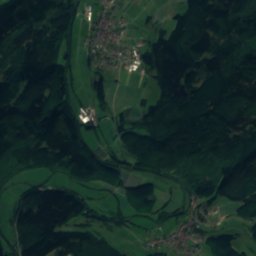
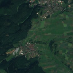
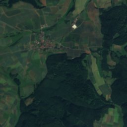
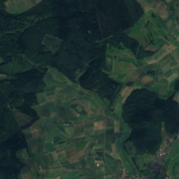
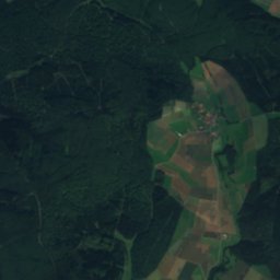
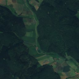
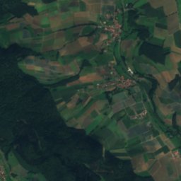
Satellite: Sentinel-2 cloudless 2016 by EOX IT Services GmbH · CC BY 4.0 · Contains modified Copernicus Sentinel data 2016

Photo: Massel tow · CC BY-SA 2.0 de · Wikimedia Commons
WetschaftReport this photo · linked, not stored
WetschaftWetschaftReport this photo · linked, not stored
 Hopperkopf

Photo: Jörg Braukmann · CC BY-SA 4.0 · Wikimedia Commons
ZiegenhelleReport this photo · linked, not stored
ZiegenhelleZiegenhelleReport this photo · linked, not stored
 Hillekopf
RiverFrankenberg, Hesse
Nemphe
River286 m elevationBest May–Jun · Sep
Elevation286 mabove sea level
Length14 kmsource to mouth
Nearest townFrankenberg0.4 km
51.06° N, 8.79° EElevation 286 mUTC+2 · Central European Summer Time
When to goFrankenberg · weather score
Best timeMay–Jun · Sep
October: high / low13° / 5°
River
Nemphe in brief
Nemphe is a river in Frankenberg, Hesse, Germany.
It lies at 286 m above sea level.
The nearest town is Frankenberg, 0.4 km to the E, where the weather is best in May, June and September.
Nemphe is 14 km long.
Weather nearby now
Forecast for Frankenberg7°
Rain now
Today
24 Oct
10°
7°
Sun
25 Oct
13°
5°
25 mm
Mon
26 Oct
12°
4°
Tue
27 Oct
15°
8°
Wed
28 Oct
14°
4°
1 mm
Model run 12:00 UTCRefreshed several times a day
Map
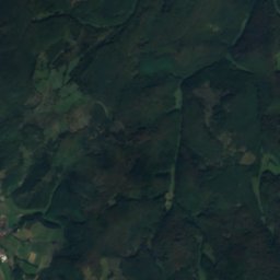
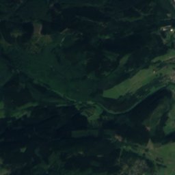
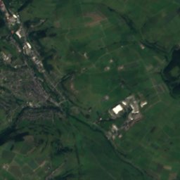
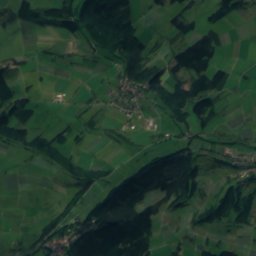
Nemphe from above
Nature nearbyAll of Germany
Satellite: Sentinel-2 cloudless 2016 by EOX IT Services GmbH · CC BY 4.0 · Contains modified Copernicus Sentinel data 2016
Satellite: Sentinel-2 cloudless 2016 by EOX IT Services GmbH · CC BY 4.0 · Contains modified Copernicus Sentinel data 2016
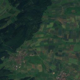
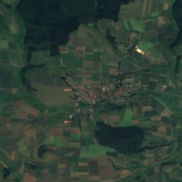
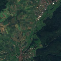
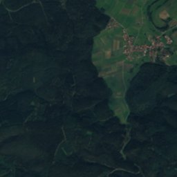
Satellite: Sentinel-2 cloudless 2016 by EOX IT Services GmbH · CC BY 4.0 · Contains modified Copernicus Sentinel data 2016
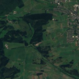
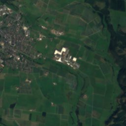
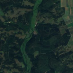
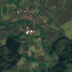
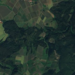
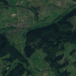
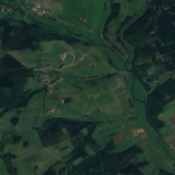
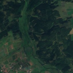
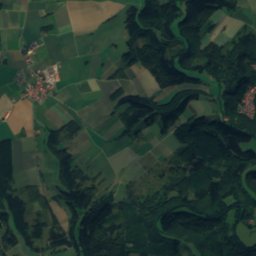
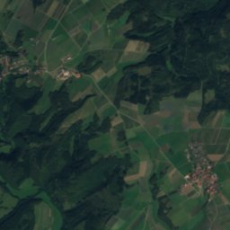
Satellite: Sentinel-2 cloudless 2016 by EOX IT Services GmbH · CC BY 4.0 · Contains modified Copernicus Sentinel data 2016

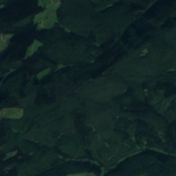
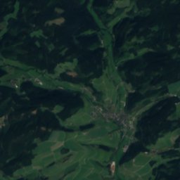
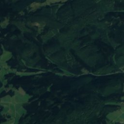
Satellite: Sentinel-2 cloudless 2016 by EOX IT Services GmbH · CC BY 4.0 · Contains modified Copernicus Sentinel data 2016
Summits nearbyMountains of Germany


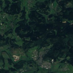
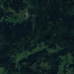
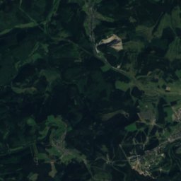
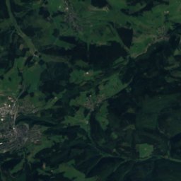
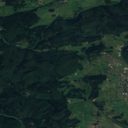
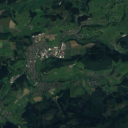
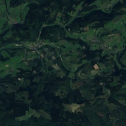
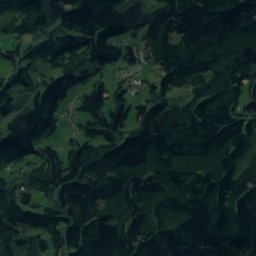
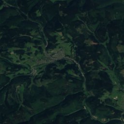
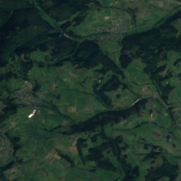
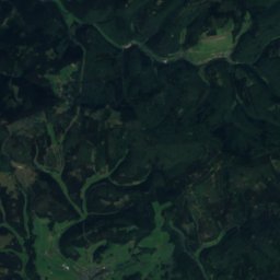
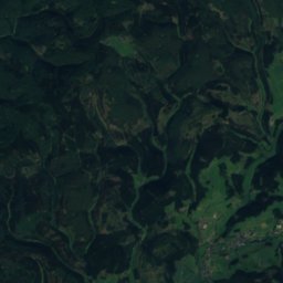
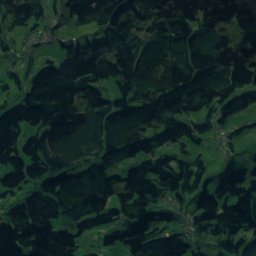
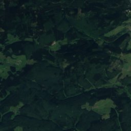
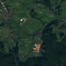
Satellite: Sentinel-2 cloudless 2016 by EOX IT Services GmbH · CC BY 4.0 · Contains modified Copernicus Sentinel data 2016

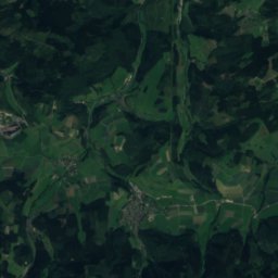
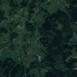
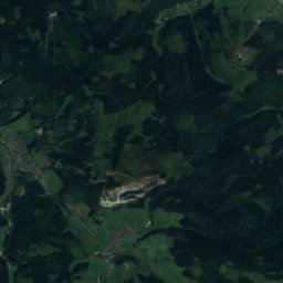
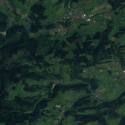
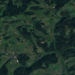
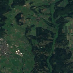
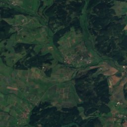
Satellite: Sentinel-2 cloudless 2016 by EOX IT Services GmbH · CC BY 4.0 · Contains modified Copernicus Sentinel data 2016

Stay nearby
Towns close by


Around here
Frankenberg and around
Nature
Satellite: Sentinel-2 cloudless 2016 by EOX IT Services GmbH · CC BY 4.0 · Contains modified Copernicus Sentinel data 2016
Wilde Aa
River · 306 m
Satellite: Sentinel-2 cloudless 2016 by EOX IT Services GmbH · CC BY 4.0 · Contains modified Copernicus Sentinel data 2016
Holzbach (Schweinfe)
River
Mountains


Heritage

Satellite: Sentinel-2 cloudless 2016 by EOX IT Services GmbH · CC BY 4.0 · Contains modified Copernicus Sentinel data 2016
Our Lady's Church
cultural heritage monument in Hesse · 1286

Photo: © Heinrich Stürzl / Wikimedia Commons · CC BY-SA 4.0 · Wikimedia CommonsReport this photo · linked, not stored
Kloster St. Georgenberg (Frankenberg)
cultural heritage monument in Hesse · 1242

Photo: Stefan Flöper / Wikimedia Commons · CC BY-SA 4.0 · Wikimedia CommonsReport this photo · linked, not stored
Bahnhof Frankenberg
Kulturdenkmal
Museums

Photo: © Heinrich Stürzl / Wikimedia Commons · CC BY-SA 4.0 · Wikimedia CommonsReport this photo · linked, not stored
Museum im Kloster Frankenberg
Satellite: Sentinel-2 cloudless 2016 by EOX IT Services GmbH · CC BY 4.0 · Contains modified Copernicus Sentinel data 2016


