Skip to content
Destinations
Weather & climate
Nature
Outdoors
Culture
Events
Sky & live
Napte
Photo: Tsungam · CC BY-SA 3.0 · Wikimedia Commons
NapteReport this photo · linked, not stored
Heubach, North Rhine-Westphalia
Photo: Tsungam · CC BY-SA 3.0 · Wikimedia Commons
Heubach, North Rhine-WestphaliaReport this photo · linked, not stored
Heubach, North Rhine-Westphalia
Norderteich
Photo: Tsungam · CC BY-SA 3.0 · Wikimedia Commons
NorderteichReport this photo · linked, not stored
Norderteich
Diestelbach
Photo: Tsungam · CC BY-SA 4.0 · Wikimedia Commons
DiestelbachReport this photo · linked, not stored
Diestelbach
Silberbach, North Rhine-Westphalia
Photo: Tolanor / Tolanor · Public domain · Wikimedia Commons
Silberbach, North Rhine-WestphaliaReport this photo · linked, not stored
Silberbach, North Rhine-Westphalia
RiverSteinheim, North Rhine-Westphalia

Napte

River138 m elevationBest May–Jun · Sep
Elevation138 mabove sea level
Length11 kmsource to mouth
Nearest townSteinheim2.4 km
51.89° N, 9.10° EElevation 138 mUTC+1 · Central European Standard Time
When to goSteinheim · weather score
JanFebMarAprMayJunJulAugSepOctNovDec42October
Best timeMay–Jun · Sep
October: high / low14° / 7°
River

Napte in brief

Napte is a river in Steinheim, North Rhine-Westphalia, Germany.

It lies at 138 m above sea level.

The nearest town is Steinheim, 2.4 km to the S, where the weather is best in May, June and September.

Napte is 11 km long.

Steinheim: weather and travel guide

Weather nearby now

Forecast for Steinheim
11°
Cloudy now
Wind3 km/h
Humidity95%
Cloud cover100%
Today
29 Oct
13°
7°
Fri
30 Oct
13°
6°
Sat
31 Oct
11°
6°
Sun
1 Nov
10°
6°
Mon
2 Nov
10°
4°

Model run 00:00 UTCRefreshed several times a day

When to go

The best months around Napte

Climate of Steinheim

Month score in Steinheim

Comfort, dry days and sunshine · out of 100
15
Jan
20
Feb
20
Mar
52
Apr
65
May
65
Jun
64
Jul
64
Aug
68
Sep
42
Oct
15
Nov
14
Dec
Map

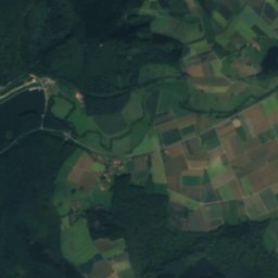
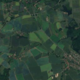
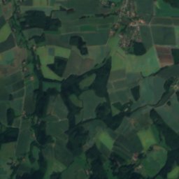
Napte from above

Nature nearbyAll of Germany
Photo: Tsungam · CC BY-SA 3.0 · Wikimedia CommonsReport this photo · linked, not stored
Heubach, North Rhine-WestphaliaRiver2.9 kmSHeubach, North Rhine-Westphalia
Photo: Tsungam · CC BY-SA 3.0 · Wikimedia CommonsReport this photo · linked, not stored
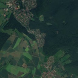
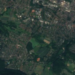
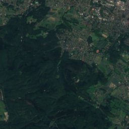
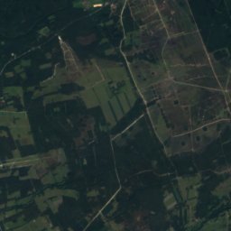
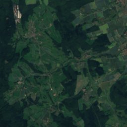
NorderteichLake4.5 kmWNorderteich
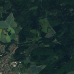
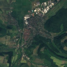
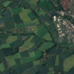
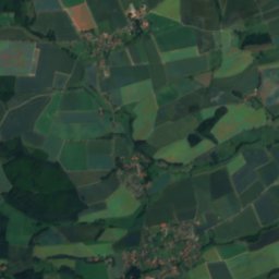
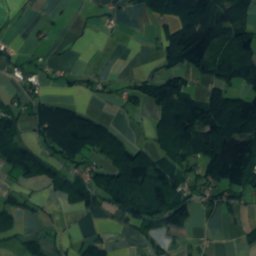
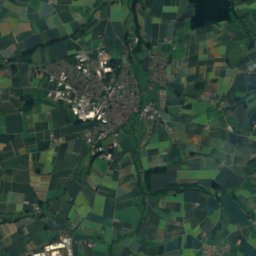
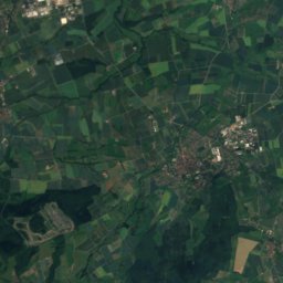
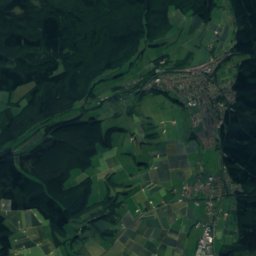
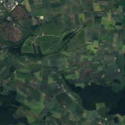
Satellite: Sentinel-2 cloudless 2016 by EOX IT Services GmbH · CC BY 4.0 · Contains modified Copernicus Sentinel data 2016
SchiederseeLake5.9 kmNESchiedersee
Photo: Tsungam · CC BY-SA 4.0 · Wikimedia CommonsReport this photo · linked, not stored
DiestelbachRiver7.3 kmNDiestelbach
Photo: Tolanor / Tolanor · Public domain · Wikimedia CommonsReport this photo · linked, not stored
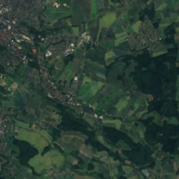
Silberbach, North Rhine-WestphaliaRiver7.4 kmSWSilberbach, North Rhine-Westphalia
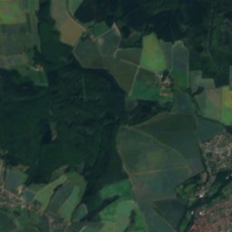
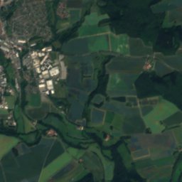
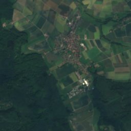
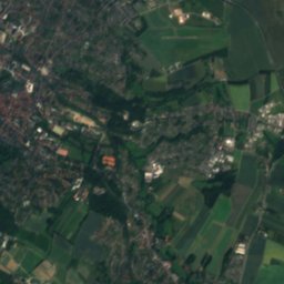
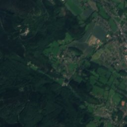
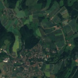
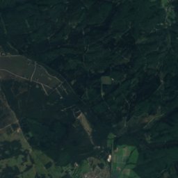
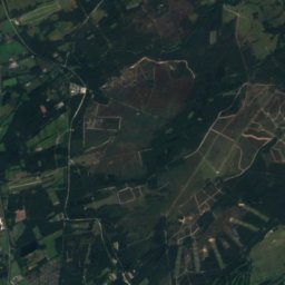
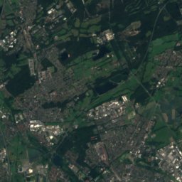
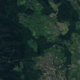
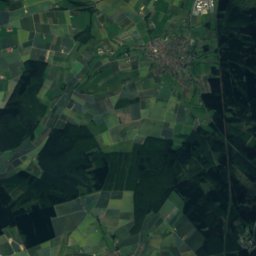
Satellite: Sentinel-2 cloudless 2016 by EOX IT Services GmbH · CC BY 4.0 · Contains modified Copernicus Sentinel data 2016
StrangbachRiver9.2 kmWStrangbach
Summits nearbyMountains of Germany
Photo: Wilfra · CC0 · Wikimedia CommonsReport this photo · linked, not stored
Köterberg16 km E496 mJuly 22°Köterberg
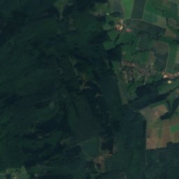
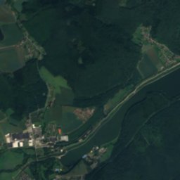
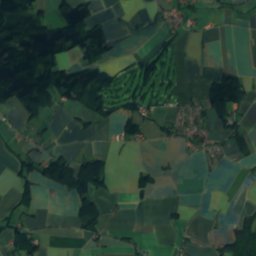
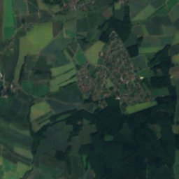
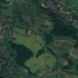
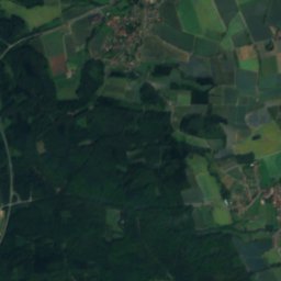
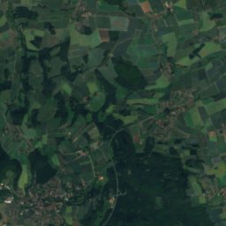
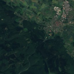
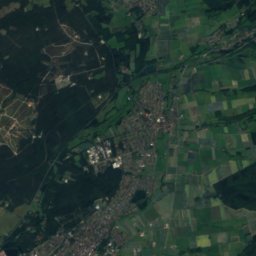
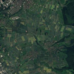
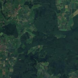
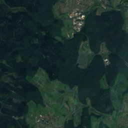
Satellite: Sentinel-2 cloudless 2016 by EOX IT Services GmbH · CC BY 4.0 · Contains modified Copernicus Sentinel data 2016
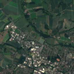
Preußische Velmerstot12 km SW468 mJuly 22°Preußische Velmerstot
Photo: User:Mada · CC BY-SA 2.5 · Wikimedia CommonsReport this photo · linked, not stored
Velmerstot12 km SW464 mJuly 22°Velmerstot
Photo: Jörg Braukmann · CC BY-SA 3.0 · Wikimedia CommonsReport this photo · linked, not stored
Barnacken14 km W446 mJuly 22°Barnacken
Photo: Tsungam · CC BY-SA 4.0 · Wikimedia CommonsReport this photo · linked, not stored
Lippische Velmerstot11 km SW441 mJuly 22°Lippische Velmerstot
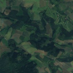
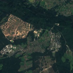
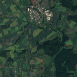
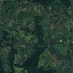
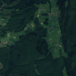
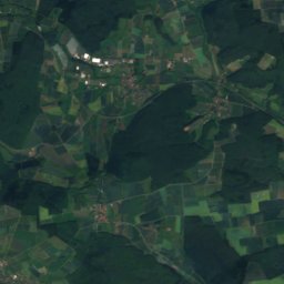
Satellite: Sentinel-2 cloudless 2016 by EOX IT Services GmbH · CC BY 4.0 · Contains modified Copernicus Sentinel data 2016
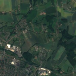
Hausheide20 km SW441 mJuly 22°Hausheide
Stay nearby

Towns close by

Steinheim
Photo: Klaus Graf · CC BY-SA 3.0 · Wikimedia CommonsReport this photo · linked, not stored

Steinheim

North Rhine-Westphalia · 2.4 km S
14°Oct high
12wet days
42score
Steinheim
Blomberg
Photo: Nikater · CC BY-SA 3.0 · Wikimedia CommonsReport this photo · linked, not stored

Blomberg

North Rhine-Westphalia · 5.8 km N
14°Oct high
12wet days
41score
Blomberg
Schieder-Schwalenberg
Photo: Tsungam · CC BY-SA 4.0 · Wikimedia CommonsReport this photo · linked, not stored

Schieder-Schwalenberg

North Rhine-Westphalia · 6.9 km E
13°Oct high
12wet days
39score
Schieder-Schwalenberg
Horn-Bad Meinberg
Photo: Werner Wilmes · CC BY 2.0 · Wikimedia CommonsReport this photo · linked, not stored

Horn-Bad Meinberg

North Rhine-Westphalia · 9.3 km W
13°Oct high
12wet days
39score
Horn-Bad Meinberg
Around here

Steinheim and around

Steinheim
Photo: Klaus Graf · CC BY-SA 3.0 · Wikimedia CommonsReport this photo · linked, not stored

Steinheim

North Rhine-Westphalia · Germany
May–Jun · Sepbest months
24°July high
148 maltitude
Steinheim

Nature

Diestelbach
Photo: Tsungam · CC BY-SA 4.0 · Wikimedia CommonsReport this photo · linked, not stored
9.7 km N

Diestelbach

River · 123 m
Diestelbach
Durbeke
Photo: bdk · CC BY-SA 3.0 · Wikimedia CommonsReport this photo · linked, not stored
12 km SW

Durbeke

River · 210 m
Durbeke
Heubach, North Rhine-Westphalia
Photo: Tsungam · CC BY-SA 3.0 · Wikimedia CommonsReport this photo · linked, not stored
0.8 km SE

Heubach, North Rhine-Westphalia

River
Heubach, North Rhine-Westphalia

Mountains

Große Blöße
Photo: Uli Berxel Uli Berxel · Public domain · Wikimedia CommonsReport this photo · linked, not stored
36 km E

Große Blöße

528 m · Solling
Große Blöße
Großer Ahrensberg
Photo: Jan Stubenitzky (Dehio) · CC BY-SA 3.0 · Wikimedia CommonsReport this photo · linked, not stored
35 km E

Großer Ahrensberg

525 m · Solling
Großer Ahrensberg
Moosberg
Photo: Carlos-X · CC BY-SA 3.0 · Wikimedia CommonsReport this photo · linked, not stored
34 km E

Moosberg

513 m · Solling
Moosberg

Heritage

Evangelische Kirche Steinheim
Photo: Tsungam · CC BY-SA 4.0 · Wikimedia CommonsReport this photo · linked, not stored
0.3 km S

Evangelische Kirche Steinheim

architectural heritage monument in North Rhine-Westphalia
Evangelische Kirche Steinheim
St. Marien, Steinheim
Photo: Tsungam · CC BY-SA 4.0 · Wikimedia CommonsReport this photo · linked, not stored
0.6 km SE

St. Marien, Steinheim

architectural heritage monument in North Rhine-Westphalia
St. Marien, Steinheim
Jüdischer Friedhof Steinheim
Photo: Tsungam · CC BY-SA 3.0 · Wikimedia CommonsReport this photo · linked, not stored
1.0 km S

Jüdischer Friedhof Steinheim

Kulturdenkmal
Jüdischer Friedhof Steinheim

Museums

Teddybär- und Puppenmuseum Steinheim
Photo: Wikipedian001 · CC BY-SA 4.0 · Wikimedia CommonsReport this photo · linked, not stored
0.5 km SE

Teddybär- und Puppenmuseum Steinheim

Doll museum · 2016
Teddybär- und Puppenmuseum Steinheim
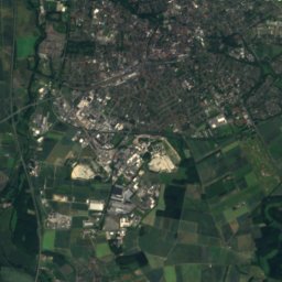
Satellite: Sentinel-2 cloudless 2016 by EOX IT Services GmbH · CC BY 4.0 · Contains modified Copernicus Sentinel data 2016
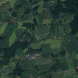
0.9 km SE

Möbelmuseum Steinheim

Möbelmuseum Steinheim
Westfalen Culinarium
Photo: Bielibob · CC BY-SA 3.0 · Wikimedia CommonsReport this photo · linked, not stored
7.5 km S

Westfalen Culinarium

2006
Westfalen Culinarium