Skip to content
Destinations
Weather & climate
Nature
Outdoors
Culture
Events
Sky & live
Mutterbach
Photo: Lantus · CC BY-SA 3.0 · Wikimedia Commons
MutterbachReport this photo · linked, not stored
Erbach, Saarland
Photo: Tara2 · CC BY 3.0 · Wikimedia Commons
Erbach, SaarlandReport this photo · linked, not stored
Erbach, Saarland
Schlossberghohlen
Photo: Pascal Dihé / www.dihe.eu / CC BY-SA 4.0 · CC BY-SA 4.0 · Wikimedia Commons
SchlossberghohlenReport this photo · linked, not stored
Schlossberghohlen
Schlangenhöhle
Photo: Flocci Nivis · CC BY 4.0 · Wikimedia Commons
SchlangenhöhleReport this photo · linked, not stored
Schlangenhöhle
Brückweiher
Photo: atreyu · CC BY-SA 3.0 · Wikimedia Commons
BrückweiherReport this photo · linked, not stored
Brückweiher
RiverBexbach, Saarland

Mutterbach

RiverBest Jun–Jul · Sep
Elevation–above sea level
Length8.6 kmsource to mouth
Nearest townBexbach4.0 km
49.31° N, 7.28° EUTC+2 · Central European Summer Time
When to goBexbach · weather score
JanFebMarAprMayJunJulAugSepOctNovDec47October
Best timeJun–Jul · Sep
October: high / low14° / 6°
River

Mutterbach in brief

Mutterbach is a river in Bexbach, Saarland, Germany.

The nearest town is Bexbach, 4.0 km to the NW, where the weather is best in June, July and September.

Mutterbach is 8.6 km long.

Bexbach: weather and travel guide

Weather nearby now

Forecast for Bexbach
10°
Rain now
Wind31 km/h
Humidity95%
Cloud cover100%
Today
23 Oct
13°
7°
5 mm
Sat
24 Oct
11°
5°
4 mm
Sun
25 Oct
12°
7°
33 mm
Mon
26 Oct
12°
6°
2 mm
Tue
27 Oct
17°
10°
2 mm

Model run 12:00 UTCRefreshed several times a day

When to go

The best months around Mutterbach

Climate of Bexbach

Month score in Bexbach

Comfort, dry days and sunshine · out of 100
17
Jan
24
Feb
29
Mar
59
Apr
64
May
69
Jun
68
Jul
68
Aug
76
Sep
47
Oct
20
Nov
14
Dec
Map

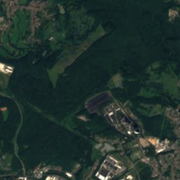
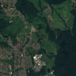
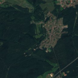
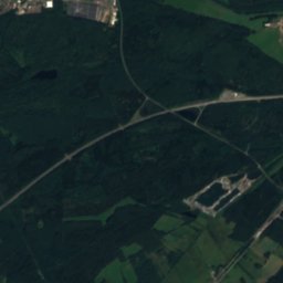
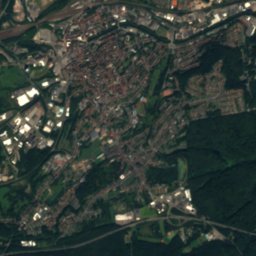
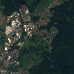
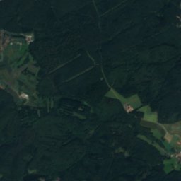
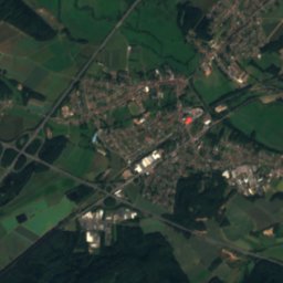
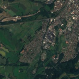
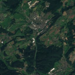
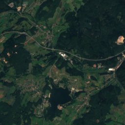
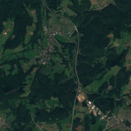
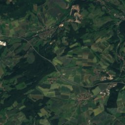
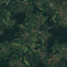
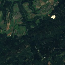
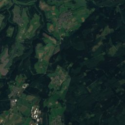
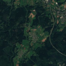
Mutterbach from above

Nature nearbyAll of Germany
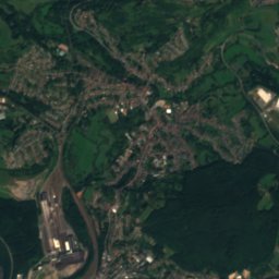
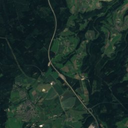
Satellite: Sentinel-2 cloudless 2016 by EOX IT Services GmbH · CC BY 4.0 · Contains modified Copernicus Sentinel data 2016
FeilbachRiver0.4 kmNWFeilbach
Photo: Tara2 · CC BY 3.0 · Wikimedia CommonsReport this photo · linked, not stored
Erbach, SaarlandRiver3.7 kmSEErbach, Saarland
Photo: Pascal Dihé / www.dihe.eu / CC BY-SA 4.0 · CC BY-SA 4.0 · Wikimedia CommonsReport this photo · linked, not stored
SchlossberghohlenCave4.5 kmESchlossberghohlen
Photo: Flocci Nivis · CC BY 4.0 · Wikimedia CommonsReport this photo · linked, not stored
SchlangenhöhleCave4.8 kmSESchlangenhöhle
Photo: atreyu · CC BY-SA 3.0 · Wikimedia CommonsReport this photo · linked, not stored
BrückweiherLake5.8 kmNBrückweiher
Photo: EHaseler · CC BY-SA 3.0 · Wikimedia CommonsReport this photo · linked, not stored
Kirkeler BachRiver7.5 kmSKirkeler Bach
Summits nearbyMountains of Germany
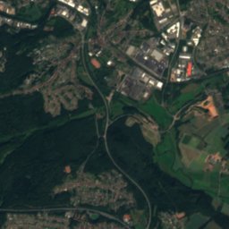
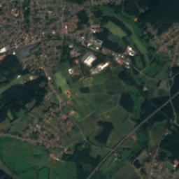
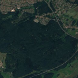
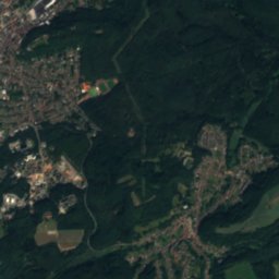
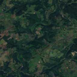
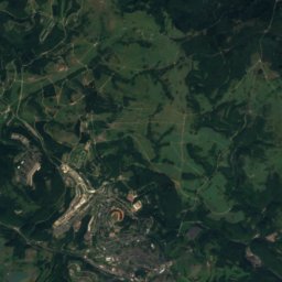
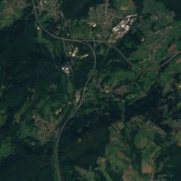
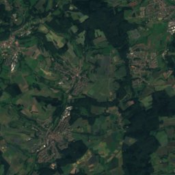
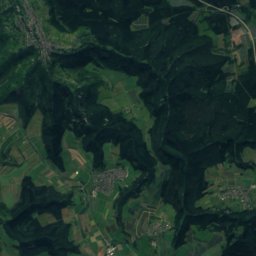
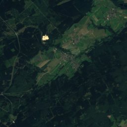
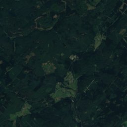
Satellite: Sentinel-2 cloudless 2016 by EOX IT Services GmbH · CC BY 4.0 · Contains modified Copernicus Sentinel data 2016
Füsselberg25 km N595 mJuly 23°Füsselberg
Photo: GDelhey · CC BY-SA 3.0 · Wikimedia CommonsReport this photo · linked, not stored
Weiselberg23 km N570 mJuly 23°Weiselberg
Photo: atreyu · CC BY-SA 3.0 · Wikimedia CommonsReport this photo · linked, not stored
Höcherberg9.3 km N518 mJuly 23°Höcherberg
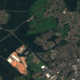
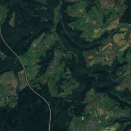
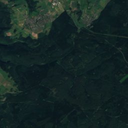
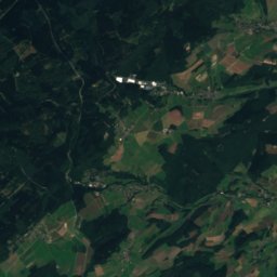
Satellite: Sentinel-2 cloudless 2016 by EOX IT Services GmbH · CC BY 4.0 · Contains modified Copernicus Sentinel data 2016
Bosenberg19 km N485 mJuly 24°Bosenberg
Photo: Mstp77 · CC BY 3.0 · Wikimedia CommonsReport this photo · linked, not stored
Großer Kahlenberg14 km S401 mJuly 24°Großer Kahlenberg
Photo: EHaseler · CC BY-SA 3.0 · Wikimedia CommonsReport this photo · linked, not stored
Hochscheid12 km SW401 mJuly 25°Hochscheid
Stay nearby

Towns close by

Bexbach
Photo: Reise Reise · CC BY-SA 4.0 · Wikimedia CommonsReport this photo · linked, not stored

Bexbach

Saarland · 4.0 km NW
14°Oct high
12wet days
47score
Bexbach
Homburg
Photo: atreyu · CC BY-SA 3.0 · Wikimedia CommonsReport this photo · linked, not stored

Homburg

Saarland · 4.3 km E
14°Oct high
12wet days
47score
Homburg
Kirkel
Photo: Unknown author · CC BY-SA 3.0 · Wikimedia CommonsReport this photo · linked, not stored

Kirkel

Saarland · 5.0 km SW
14°Oct high
12wet days
46score
Kirkel
Einöd
Photo: Epistratum · CC BY-SA 4.0 · Wikimedia CommonsReport this photo · linked, not stored

Einöd

Saarland · 5.3 km SE
15°Oct high
12wet days
48score
Einöd
Around here

Bexbach and around

Bexbach
Photo: Reise Reise · CC BY-SA 4.0 · Wikimedia CommonsReport this photo · linked, not stored

Bexbach

Saarland · Germany
Jun–Jul · Sepbest months
25°July high
250 maltitude
Bexbach

Nature

Glan
Photo: Lokilech · CC BY-SA 3.0 · Wikimedia CommonsReport this photo · linked, not stored
5.6 km N

Glan

River
Glan
Erbach, Saarland
Photo: Tara2 · CC BY 3.0 · Wikimedia CommonsReport this photo · linked, not stored
7.6 km SE

Erbach, Saarland

River · 114 m
Erbach, Saarland
Horn
Photo: Gerd Eichmann · CC BY-SA 4.0 · Wikimedia CommonsReport this photo · linked, not stored
12 km SE

Horn

River
Horn

Mountains

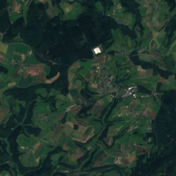
Satellite: Sentinel-2 cloudless 2016 by EOX IT Services GmbH · CC BY 4.0 · Contains modified Copernicus Sentinel data 2016
38 km N

Friedrichskopf

707 m · Dollberge
Friedrichskopf
Dollberg
Photo: Bolero-Saar · CC BY-SA 3.0 de · Wikimedia CommonsReport this photo · linked, not stored
36 km NW

Dollberg

695 m · Dollberge
Dollberg
Satellite: Sentinel-2 cloudless 2016 by EOX IT Services GmbH · CC BY 4.0 · Contains modified Copernicus Sentinel data 2016
23 km N

Trautzberg

604 m
Trautzberg

Heritage

Protestant Church, Bexbach
Photo: Felix König · CC BY 3.0 · Wikimedia CommonsReport this photo · linked, not stored
0.6 km NE

Protestant Church, Bexbach

architectural heritage monument
Protestant Church, Bexbach
St. Martin, Bexbach
Photo: atreyu · CC BY-SA 3.0 · Wikimedia CommonsReport this photo · linked, not stored
0.3 km NE

St. Martin, Bexbach

heritage monument in Saarland
St. Martin, Bexbach
Stengelkirche
Photo: Flocci Nivis · CC BY 4.0 · Wikimedia CommonsReport this photo · linked, not stored
2.1 km W

Stengelkirche

Kulturdenkmal
Stengelkirche

Museums

Saarländisches Bergbaumuseum
Photo: Reise Reise · CC BY-SA 4.0 · Wikimedia CommonsReport this photo · linked, not stored
0.5 km NE

Saarländisches Bergbaumuseum

Mining museum · 1934
Saarländisches Bergbaumuseum
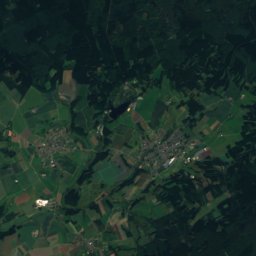
Satellite: Sentinel-2 cloudless 2016 by EOX IT Services GmbH · CC BY 4.0 · Contains modified Copernicus Sentinel data 2016
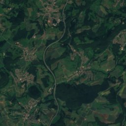
3.6 km S

Heimat- und Burgmuseum Kirkel

Heimat- und Burgmuseum Kirkel
Römermuseum Schwarzenacker
Photo: Lokilech · CC BY-SA 3.0 · Wikimedia CommonsReport this photo · linked, not stored
8.3 km SE

Römermuseum Schwarzenacker

Römermuseum Schwarzenacker