Skip to content
Destinations
Weather & climate
Nature
Outdoors
Culture
Events
Sky & live
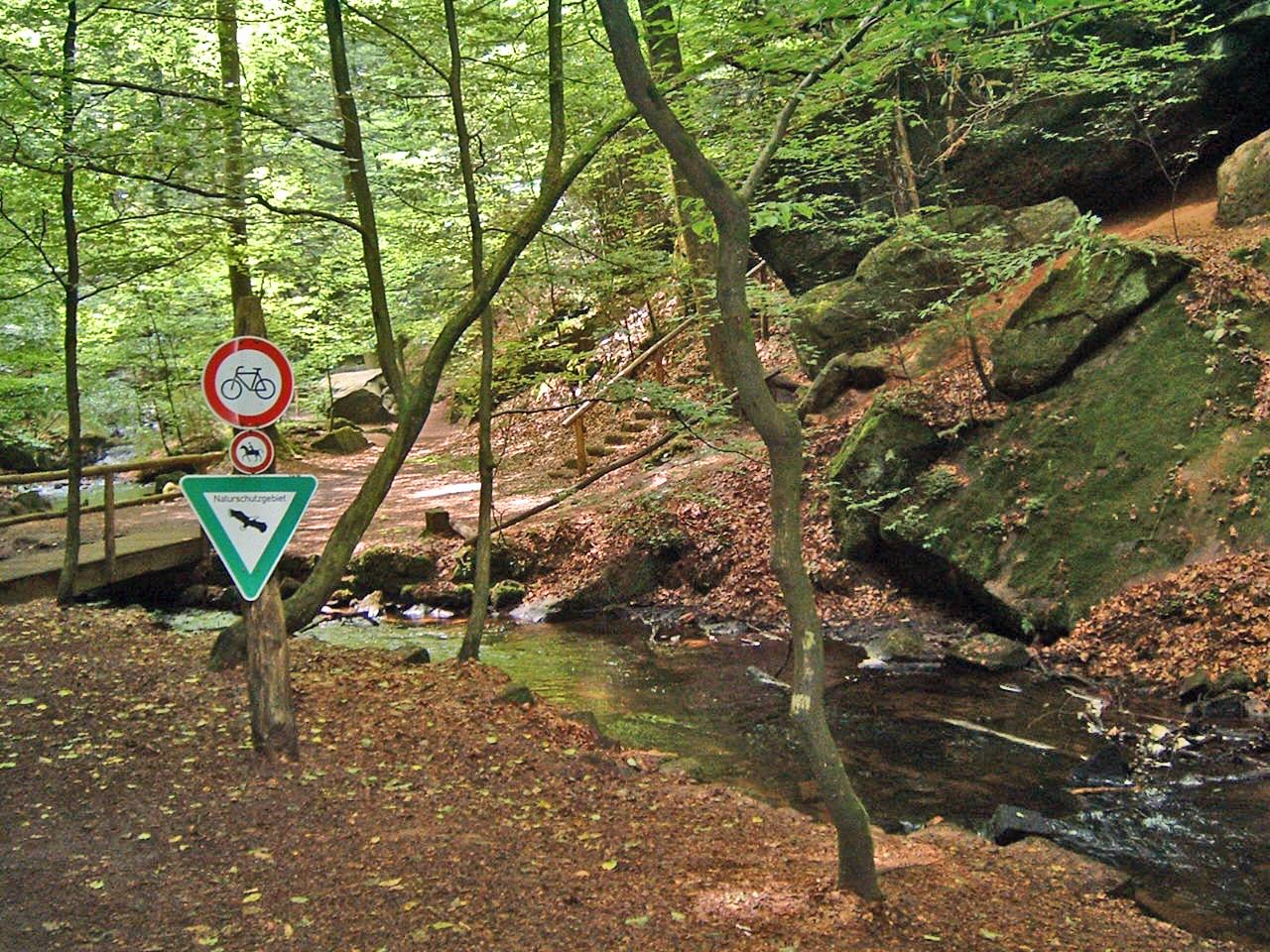
Moosalbe
Photo: Mr Mosher · Public domain · Wikimedia Commons
MoosalbeReport this photo · linked, not stored
Rodalb
Photo: Pfalz39 · CC BY-SA 3.0 · Wikimedia Commons
RodalbReport this photo · linked, not stored
Rodalb
Hilschberghaus
Photo: Steffen 962 · CC BY-SA 4.0 · Wikimedia Commons
HilschberghausReport this photo · linked, not stored
Hilschberghaus
Clausensee
Photo: Gabriele Delhey · CC BY-SA 3.0 · Wikimedia Commons
ClausenseeReport this photo · linked, not stored
Clausensee
Gräfensteinhütte
Photo: Steffen 962 · CC BY 4.0 · Wikimedia Commons
GräfensteinhütteReport this photo · linked, not stored
Gräfensteinhütte
RiverWaldfischbach-Burgalben, Rheinland-Pfalz

Moosalbe

RiverBest Jun–Jul · Sep
Elevation–above sea level
Length24 kmsource to mouth
Nearest townWaldfischbach-Burgalben1.5 km
49.28° N, 7.65° EUTC+2 · Central European Summer Time
When to goWaldfischbach-Burgalben · weather score
JanFebMarAprMayJunJulAugSepOctNovDec44October
Best timeJun–Jul · Sep
October: high / low14° / 6°
River

Moosalbe in brief

Moosalbe is a river in Waldfischbach-Burgalben, Rheinland-Pfalz, Germany.

The nearest town is Waldfischbach-Burgalben, 1.5 km to the E, where the weather is best in June, July and September.

Moosalbe is 24 km long.

Waldfischbach-Burgalben: weather and travel guide

Weather nearby now

Forecast for Waldfischbach-Burgalben
7°
Rain now
Wind24 km/h
Humidity99%
Cloud cover100%
Today
24 Oct
11°
6°
2 mm
Sun
25 Oct
11°
6°
33 mm
Mon
26 Oct
12°
6°
Tue
27 Oct
17°
10°
Wed
28 Oct
14°
6°
1 mm

Model run 12:00 UTCRefreshed several times a day

When to go

The best months around Moosalbe

Climate of Waldfischbach-Burgalben

Month score in Waldfischbach-Burgalben

Comfort, dry days and sunshine · out of 100
19
Jan
26
Feb
26
Mar
58
Apr
65
May
69
Jun
68
Jul
68
Aug
76
Sep
44
Oct
20
Nov
14
Dec
Map

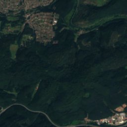
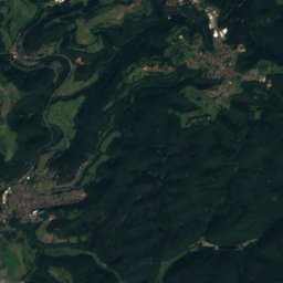
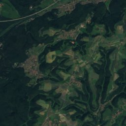
Moosalbe from above

Nature nearbyAll of Germany
Photo: Pfalz39 · CC BY-SA 3.0 · Wikimedia CommonsReport this photo · linked, not stored
RodalbRiver3.6 kmSWRodalb
Photo: Steffen 962 · CC BY-SA 4.0 · Wikimedia CommonsReport this photo · linked, not stored
HilschberghausMountain hut4.3 kmSHilschberghaus
Photo: Gabriele Delhey · CC BY-SA 3.0 · Wikimedia CommonsReport this photo · linked, not stored
ClausenseeLake5.1 kmEClausensee
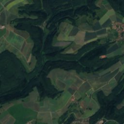
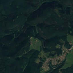
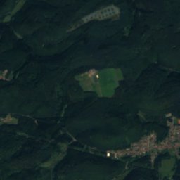
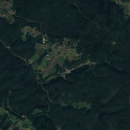
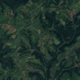
Satellite: Sentinel-2 cloudless 2016 by EOX IT Services GmbH · CC BY 4.0 · Contains modified Copernicus Sentinel data 2016
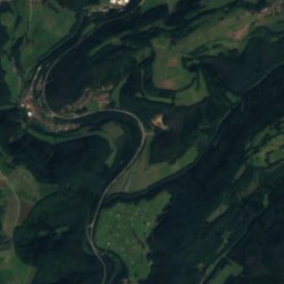
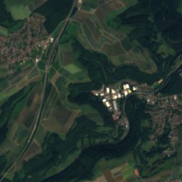
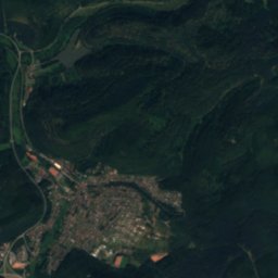
MerzalbeRiver6.0 kmSEMerzalbe
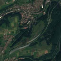
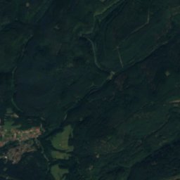
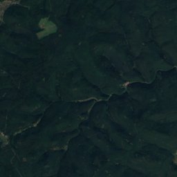
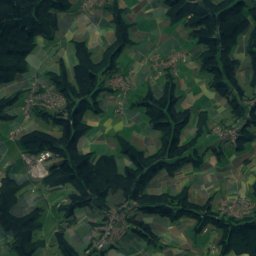
Satellite: Sentinel-2 cloudless 2016 by EOX IT Services GmbH · CC BY 4.0 · Contains modified Copernicus Sentinel data 2016
RauschenbachRiver8.3 kmERauschenbach
Photo: Steffen 962 · CC BY 4.0 · Wikimedia CommonsReport this photo · linked, not stored
GräfensteinhütteMountain hut8.3 kmSEGräfensteinhütte
Summits nearbyMountains of Germany
Photo: Unimog404 · CC BY-SA 3.0 · Wikimedia CommonsReport this photo · linked, not stored
Mosisberg15 km E610 mJuly 23°Mosisberg
Photo: H. Schreiber · CC BY-SA 3.0 · Wikimedia CommonsReport this photo · linked, not stored
Weißenberg (Frankenweide)13 km E610 mJuly 23°Weißenberg (Frankenweide)
Photo: Sebastian Hoock · CC BY-SA 3.0 · Wikimedia CommonsReport this photo · linked, not stored
Eschkopf15 km E608 mJuly 23°Eschkopf
Photo: Sebastian Hoock · CC BY-SA 3.0 · Wikimedia CommonsReport this photo · linked, not stored
Hortenkopf13 km E606 mJuly 23°Hortenkopf
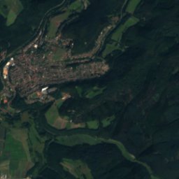
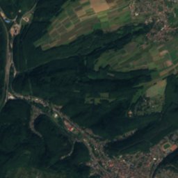
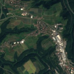
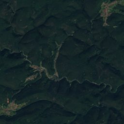
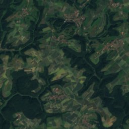
Satellite: Sentinel-2 cloudless 2016 by EOX IT Services GmbH · CC BY 4.0 · Contains modified Copernicus Sentinel data 2016
Langer Kopf15 km E594 mJuly 23°Langer Kopf
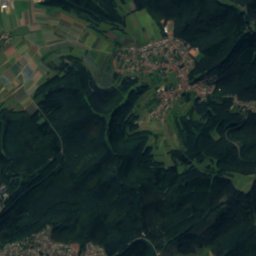
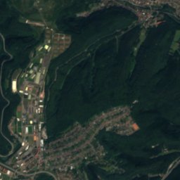
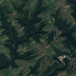
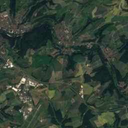
Satellite: Sentinel-2 cloudless 2016 by EOX IT Services GmbH · CC BY 4.0 · Contains modified Copernicus Sentinel data 2016
Schindhübel17 km E571 mJuly 24°Schindhübel
Stay nearby

Towns close by

Waldfischbach-Burgalben
Photo: Gerd Eichmann · CC BY-SA 4.0 · Wikimedia CommonsReport this photo · linked, not stored

Waldfischbach-Burgalben

Rheinland-Pfalz · 1.5 km E
14°Oct high
12wet days
44score
Waldfischbach-Burgalben
Donsieders
Photo: Gerd Eichmann · CC BY-SA 4.0 · Wikimedia CommonsReport this photo · linked, not stored

Donsieders

Rheinland-Pfalz · 1.6 km S
14°Oct high
12wet days
42score
Donsieders
Clausen
Photo: Gerd Eichmann · CC BY-SA 3.0 · Wikimedia CommonsReport this photo · linked, not stored

Clausen

Rheinland-Pfalz · 3.0 km SE
14°Oct high
12wet days
42score
Clausen
Satellite: Sentinel-2 cloudless 2016 by EOX IT Services GmbH · CC BY 4.0 · Contains modified Copernicus Sentinel data 2016

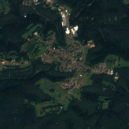
Höheinöd

Rheinland-Pfalz · 3.1 km W
14°Oct high
12wet days
42score
Höheinöd
Around here

Waldfischbach-Burgalben and around

Waldfischbach-Burgalben
Photo: Gerd Eichmann · CC BY-SA 4.0 · Wikimedia CommonsReport this photo · linked, not stored

Waldfischbach-Burgalben

Rheinland-Pfalz · Germany
Jun–Jul · Sepbest months
25°July high
352 maltitude
Waldfischbach-Burgalben

Nature

Schwarzbach, Rheinland-Pfalz
Photo: --Immanuel Giel 10:15, 2 May 2008 (UTC) · Public domain · Wikimedia CommonsReport this photo · linked, not stored
11 km E

Schwarzbach, Rheinland-Pfalz

River
Schwarzbach, Rheinland-Pfalz
Rodalb
Photo: Pfalz39 · CC BY-SA 3.0 · Wikimedia CommonsReport this photo · linked, not stored
5.0 km SW

Rodalb

River
Rodalb
Clausensee
Photo: Gabriele Delhey · CC BY-SA 3.0 · Wikimedia CommonsReport this photo · linked, not stored
3.8 km E

Clausensee

Lake
Clausensee

Mountains

Kalmit
Photo: Steffen 962 · CC0 · Wikimedia CommonsReport this photo · linked, not stored
30 km E

Kalmit

674 m · Haardt
Kalmit
Kesselberg (Palatinate)
Photo: Steffen 962 · CC0 · Wikimedia CommonsReport this photo · linked, not stored
27 km E

Kesselberg (Palatinate)

662 m · Haardt
Kesselberg (Palatinate)
Roßberg (Haardt)
Photo: Steffen 962 · CC0 · Wikimedia CommonsReport this photo · linked, not stored
27 km E

Roßberg (Haardt)

637 m · Haardt
Roßberg (Haardt)

Heritage

St. Joseph, Waldfischbach-Burgalben
Photo: Gerd Eichmann · CC BY-SA 4.0 · Wikimedia CommonsReport this photo · linked, not stored
1.0 km W

St. Joseph, Waldfischbach-Burgalben

Kulturdenkmal
St. Joseph, Waldfischbach-Burgalben
Gnadenkapelle, Donsieders
Photo: Gerd Eichmann · CC BY-SA 4.0 · Wikimedia CommonsReport this photo · linked, not stored
1.9 km SW

Gnadenkapelle, Donsieders

cultural heritage monument in Rhineland-Palatinate
Gnadenkapelle, Donsieders
Wallfahrtskirche, Donsieders
Photo: Gerd Eichmann · CC BY-SA 4.0 · Wikimedia CommonsReport this photo · linked, not stored
1.9 km SW

Wallfahrtskirche, Donsieders

cultural heritage monument in Rhineland-Palatinate
Wallfahrtskirche, Donsieders

Museums

Satellite: Sentinel-2 cloudless 2016 by EOX IT Services GmbH · CC BY 4.0 · Contains modified Copernicus Sentinel data 2016
2.2 km W

Heimatmuseum Waldfischbach-Burgalben

Heimatmuseum Waldfischbach-Burgalben
Siegfried Line Museum, Pirmasens
Photo: Gerd Eichmann · CC BY-SA 4.0 · Wikimedia CommonsReport this photo · linked, not stored
13 km SW

Siegfried Line Museum, Pirmasens

Military museum
Siegfried Line Museum, Pirmasens
Museum Sickinger Höhe
Photo: TeKaBe · CC BY-SA 4.0 · Wikimedia CommonsReport this photo · linked, not stored
10 km N

Museum Sickinger Höhe

Local museum · 1976
Museum Sickinger Höhe