Skip to content
Destinations
Weather & climate
Nature
Outdoors
Culture
Events
Sky & live
Moosalb
Photo: Kurt Kastner · Attribution · Wikimedia Commons
MoosalbReport this photo · linked, not stored
Federbach (Alb)
Photo: Martin-D · CC BY-SA 2.5 · Wikimedia Commons
Federbach (Alb)Report this photo · linked, not stored
Federbach (Alb)
Erlachsee, Karlsruhe
Photo: MartinThoma · CC0 · Wikimedia Commons
Erlachsee, KarlsruheReport this photo · linked, not stored
Erlachsee, Karlsruhe
Malscher Landgraben
Photo: Kneisser · CC BY-SA 4.0 · Wikimedia Commons
Malscher LandgrabenReport this photo · linked, not stored
Malscher Landgraben
Laufbachfälle
Photo: Dguendel · CC BY 4.0 · Wikimedia Commons
LaufbachfälleReport this photo · linked, not stored
Laufbachfälle
RiverEttlingen, Baden-Wurttemberg

Moosalb

RiverBest Apr · Jun · Sep
Elevation–above sea level
Length10 kmsource to mouth
Nearest townEttlingen6.4 km
48.89° N, 8.45° EUTC+1 · Central European Standard Time
When to goEttlingen · weather score
JanFebMarAprMayJunJulAugSepOctNovDec52October
Best timeApr · Jun · Sep
October: high / low16° / 7°
River

Moosalb in brief

Moosalb is a river in Ettlingen, Baden-Wurttemberg, Germany.

The nearest town is Ettlingen, 6.4 km to the NW, where the weather is best in April, June and September.

Moosalb is 10 km long.

Ettlingen: weather and travel guide

Weather nearby now

Forecast for Ettlingen
10°
Cloudy now
Wind6 km/h
Humidity70%
Cloud cover73%
Today
26 Oct
14°
9°
Tue
27 Oct
17°
7°
Wed
28 Oct
15°
6°
4 mm
Thu
29 Oct
14°
4°
Fri
30 Oct
13°
4°

Model run 12:00 UTCRefreshed several times a day

When to go

The best months around Moosalb

Climate of Ettlingen

Month score in Ettlingen

Comfort, dry days and sunshine · out of 100
Map

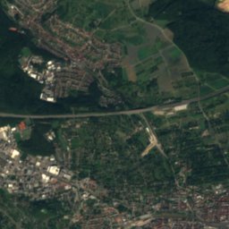
Moosalb from above

Nature nearbyAll of Germany
Photo: Martin-D · CC BY-SA 2.5 · Wikimedia CommonsReport this photo · linked, not stored
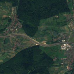
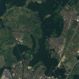
Federbach (Alb)River8.7 kmWFederbach (Alb)
Photo: MartinThoma · CC0 · Wikimedia CommonsReport this photo · linked, not stored
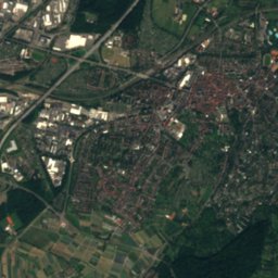
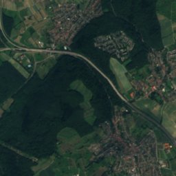
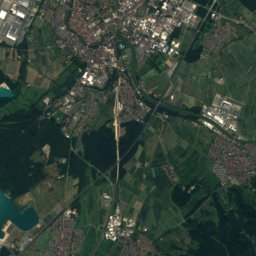
Erlachsee, KarlsruheLake11 kmNErlachsee, Karlsruhe
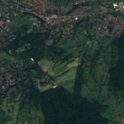
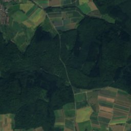
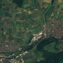
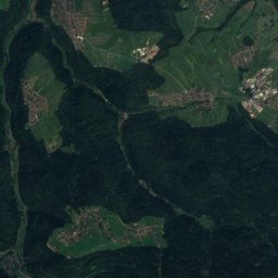
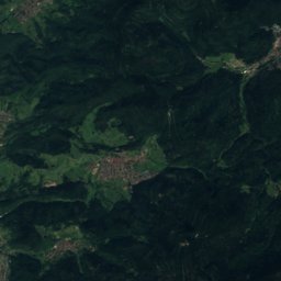
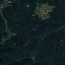
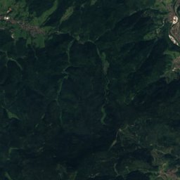
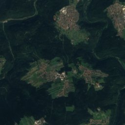
Satellite: Sentinel-2 cloudless 2016 by EOX IT Services GmbH · CC BY 4.0 · Contains modified Copernicus Sentinel data 2016
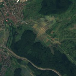
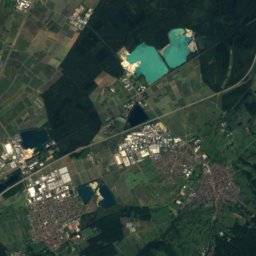
KämpfelbachRiver11 kmNEKämpfelbach
Photo: Kneisser · CC BY-SA 4.0 · Wikimedia CommonsReport this photo · linked, not stored
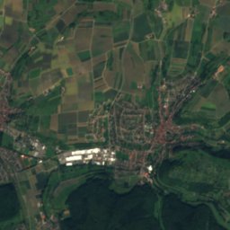
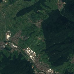
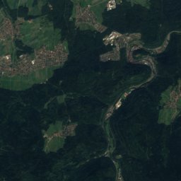
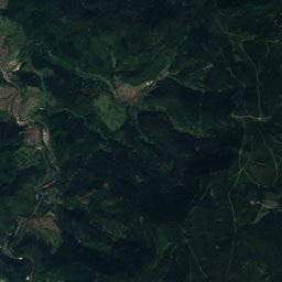
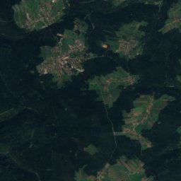
Malscher LandgrabenRiver11 kmNWMalscher Landgraben
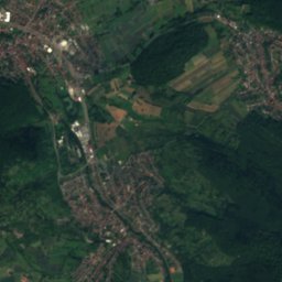
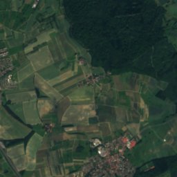
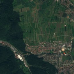
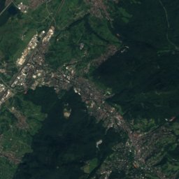
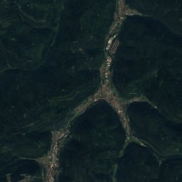
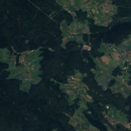
Satellite: Sentinel-2 cloudless 2016 by EOX IT Services GmbH · CC BY 4.0 · Contains modified Copernicus Sentinel data 2016
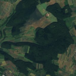
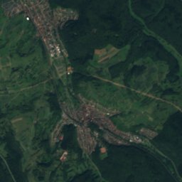
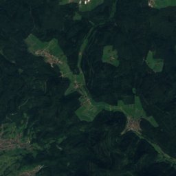
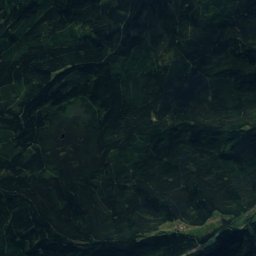
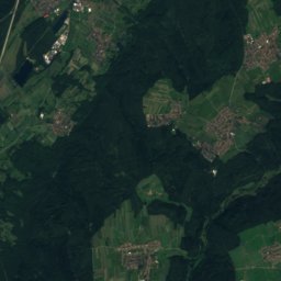
RannbachRiver12 kmERannbach
Photo: Dguendel · CC BY 4.0 · Wikimedia CommonsReport this photo · linked, not stored
LaufbachfälleWaterfall14 kmSLaufbachfälle
Summits nearbyMountains of Germany
Photo: RalfGB · CC BY-SA 4.0 · Wikimedia CommonsReport this photo · linked, not stored
Hohloh21 km S989 mJuly 20°Hohloh
Photo: Sitacuisses · CC BY-SA 3.0 · Wikimedia CommonsReport this photo · linked, not stored
Teufelsmühle16 km S908 mJuly 21°Teufelsmühle
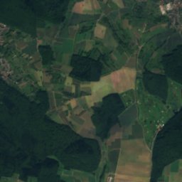
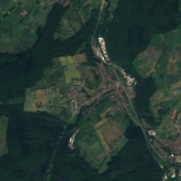
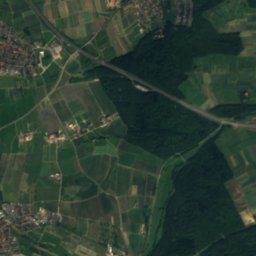
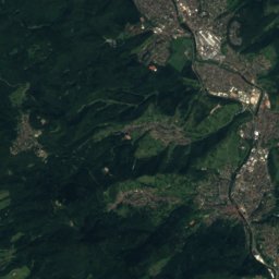
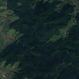
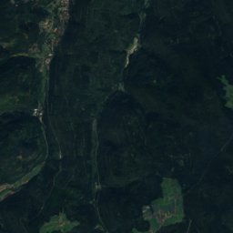
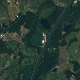
Satellite: Sentinel-2 cloudless 2016 by EOX IT Services GmbH · CC BY 4.0 · Contains modified Copernicus Sentinel data 2016
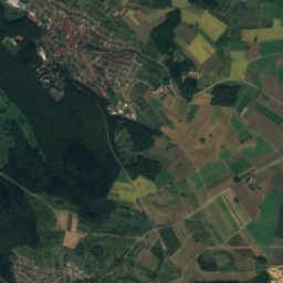
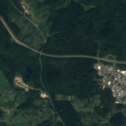
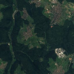
Grenzertkopf15 km S892 mJuly 21°Grenzertkopf
Satellite: Sentinel-2 cloudless 2016 by EOX IT Services GmbH · CC BY 4.0 · Contains modified Copernicus Sentinel data 2016
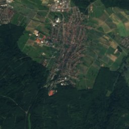
Kleiner Wendenstein15 km S840 mJuly 21°Kleiner Wendenstein
Satellite: Sentinel-2 cloudless 2016 by EOX IT Services GmbH · CC BY 4.0 · Contains modified Copernicus Sentinel data 2016
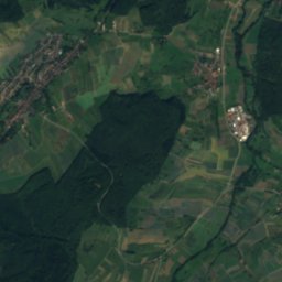
Sommerberg, Baden-Wurttemberg16 km S835 mJuly 21°Sommerberg, Baden-Wurttemberg
Satellite: Sentinel-2 cloudless 2016 by EOX IT Services GmbH · CC BY 4.0 · Contains modified Copernicus Sentinel data 2016
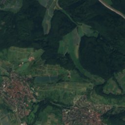
Hohe Wanne11 km SW732 mJuly 22°Hohe Wanne
Stay nearby

Towns close by

Ettlingen
Photo: Photograph: Frank C. Müller, Baden-Baden · CC BY-SA 3.0 · Wikimedia CommonsReport this photo · linked, not stored

Ettlingen

Baden-Wurttemberg · 6.4 km NW
16°Oct high
12wet days
52score
Ettlingen
Moosbronn
Photo: Baden de · CC BY 3.0 · Wikimedia CommonsReport this photo · linked, not stored

Moosbronn

Baden-Wurttemberg · 7.6 km SW
14°Oct high
12wet days
41score
Moosbronn
Malsch
Photo: Gerd Eichmann · CC BY-SA 4.0 · Wikimedia CommonsReport this photo · linked, not stored

Malsch

Baden-Wurttemberg · 8.6 km W
16°Oct high
12wet days
53score
Malsch
Arnbach
Photo: Christian Weber · Public domain · Wikimedia CommonsReport this photo · linked, not stored

Arnbach

Baden-Wurttemberg · 9.1 km E
15°Oct high
12wet days
46score
Arnbach
Around here

Ettlingen and around

Ettlingen
Photo: Photograph: Frank C. Müller, Baden-Baden · CC BY-SA 3.0 · Wikimedia CommonsReport this photo · linked, not stored

Ettlingen

Baden-Wurttemberg · Germany
Apr · Jun · Sepbest months
26°July high
139 maltitude
Ettlingen

Nature

Lauter (Rhine)
Photo: Engelberger · CC BY-SA 3.0 · Wikimedia CommonsReport this photo · linked, not stored
11 km NW

Lauter (Rhine)

River · 119 m
Lauter (Rhine)
Upper Rhine
Photo: Szeder László · CC BY-SA 4.0 · Wikimedia CommonsReport this photo · linked, not stored
10 km W

Upper Rhine

River
Upper Rhine
Federbach (Alb)
Photo: Martin-D · CC BY-SA 2.5 · Wikimedia CommonsReport this photo · linked, not stored
8.4 km SW

Federbach (Alb)

River · 106 m
Federbach (Alb)

Mountains

Kleine Grinde
Photo: Leonhard Lenz · CC0 · Wikimedia CommonsReport this photo · linked, not stored
39 km S

Kleine Grinde

1,135 m
Kleine Grinde
Hundsrücken
Photo: Leonhard Lenz · CC0 · Wikimedia CommonsReport this photo · linked, not stored
39 km S

Hundsrücken

1,080 m
Hundsrücken
Hoher Ochsenkopf
Photo: Ramessos · Public domain · Wikimedia CommonsReport this photo · linked, not stored
35 km S

Hoher Ochsenkopf

1,054 m · Black Forest
Hoher Ochsenkopf

Heritage

St. Martin, Ettlingen
Photo: Baden de · CC BY 3.0 · Wikimedia CommonsReport this photo · linked, not stored
under 100 m E

St. Martin, Ettlingen

cultural heritage monument in Baden-Württemberg
St. Martin, Ettlingen
Ettlingen Palace
Photo: Carsten Steger · CC BY-SA 4.0 · Wikimedia CommonsReport this photo · linked, not stored
0.1 km SW

Ettlingen Palace

Kulturdenkmal
Ettlingen Palace
Bismarck Tower, Ettlingen
Photo: Muck · CC BY-SA 4.0 · Wikimedia CommonsReport this photo · linked, not stored
1.0 km E

Bismarck Tower, Ettlingen

cultural heritage monument in Baden-Württemberg
Bismarck Tower, Ettlingen

Museums

Staatliche Kunsthalle Karlsruhe
Photo: Armerdietrich · Public domain · Wikimedia CommonsReport this photo · linked, not stored
7.9 km N

Staatliche Kunsthalle Karlsruhe

Art museum · 1846
Staatliche Kunsthalle Karlsruhe
ZKM Center for Art and Media Karlsruhe
Photo: JOEXX · CC BY-SA 3.0 · Wikimedia CommonsReport this photo · linked, not stored
7.0 km N

ZKM Center for Art and Media Karlsruhe

Art museum · 1997
ZKM Center for Art and Media Karlsruhe
The Badisches Landesmuseum
Photo: AnRo0002 · CC0 · Wikimedia CommonsReport this photo · linked, not stored
8.1 km N

The Badisches Landesmuseum

1919
The Badisches Landesmuseum