Skip to content
Destinations
Weather & climate
Nature
Outdoors
Culture
Events
Sky & live
Modau
Photo: Kritzolina · CC BY-SA 4.0 · Wikimedia Commons
ModauReport this photo · linked, not stored
Sandbach, Hesse
Photo: © Freak-Line-Community / Wikimedia Commons · CC BY-SA 4.0 · Wikimedia Commons
Sandbach, HesseReport this photo · linked, not stored
Sandbach, Hesse
Kühkopf
Photo: User: Pedelecs at wikivoyage shared · CC BY-SA 3.0 · Wikimedia Commons
KühkopfReport this photo · linked, not stored
Kühkopf
Stockstadt-Erfelder Altrhein
Photo: Markglw · CC BY-SA 4.0 · Wikimedia Commons
Stockstadt-Erfelder AltrheinReport this photo · linked, not stored
Stockstadt-Erfelder Altrhein
Bechtheimer Kanal
Photo: Jivee Blau · CC BY-SA 4.0 · Wikimedia Commons
Bechtheimer KanalReport this photo · linked, not stored
Bechtheimer Kanal
RiverStockstadt am Rhein, Hesse

Modau

RiverBest Apr · Jun · Sep
Elevation–above sea level
Length44 kmsource to mouth
Nearest townStockstadt am Rhein0.8 km
49.81° N, 8.46° EUTC+1 · Central European Standard Time
When to goStockstadt am Rhein · weather score
JanFebMarAprMayJunJulAugSepOctNovDec53October
Best timeApr · Jun · Sep
October: high / low15° / 7°
River

Modau in brief

Modau is a river in Stockstadt am Rhein, Hesse, Germany.

The nearest town is Stockstadt am Rhein, 0.8 km to the SE, where the weather is best in April, June and September.

Modau is 44 km long.

Stockstadt am Rhein: weather and travel guide

Weather nearby now

Forecast for Stockstadt am Rhein
11°
Cloudy now
Wind10 km/h
Humidity70%
Cloud cover88%
Today
26 Oct
14°
6°
Tue
27 Oct
18°
9°
Wed
28 Oct
15°
7°
1 mm
Thu
29 Oct
13°
3°
Fri
30 Oct
13°
3°

Model run 12:00 UTCRefreshed several times a day

When to go

The best months around Modau

Climate of Stockstadt am Rhein

Month score in Stockstadt am Rhein

Comfort, dry days and sunshine · out of 100
20
Jan
25
Feb
37
Mar
68
Apr
68
May
69
Jun
62
Jul
64
Aug
76
Sep
53
Oct
23
Nov
16
Dec
Map

Modau from above

Nature nearbyAll of Germany
Photo: © Freak-Line-Community / Wikimedia Commons · CC BY-SA 4.0 · Wikimedia CommonsReport this photo · linked, not stored
Sandbach, HesseRiver1.3 kmNESandbach, Hesse
Photo: User: Pedelecs at wikivoyage shared · CC BY-SA 3.0 · Wikimedia CommonsReport this photo · linked, not stored
KühkopfIsland1.8 kmWKühkopf
Photo: Markglw · CC BY-SA 4.0 · Wikimedia CommonsReport this photo · linked, not stored
Stockstadt-Erfelder AltrheinRiver5.6 kmWStockstadt-Erfelder Altrhein
Photo: Jivee Blau · CC BY-SA 4.0 · Wikimedia CommonsReport this photo · linked, not stored
Bechtheimer KanalRiver5.8 kmWBechtheimer Kanal
Photo: Nils Elger · Public domain · Wikimedia CommonsReport this photo · linked, not stored
Riedsee bei LeeheimLake5.9 kmNWRiedsee bei Leeheim
Photo: Wikimedia-User Jivee Blau · CC BY-SA 3.0 · Wikimedia CommonsReport this photo · linked, not stored
Eicher SeeLake6.0 kmSEicher See
Summits nearbyMountains of Germany
Photo: Jörg Braukmann Milseburg · CC BY-SA 3.0 · Wikimedia CommonsReport this photo · linked, not stored
Neunkircher Höhe24 km SE605 mJuly 22°Neunkircher Höhe
Photo: Christos Vittoratos · CC BY-SA 3.0 · Wikimedia CommonsReport this photo · linked, not stored
Krehberg24 km SE576 mJuly 23°Krehberg
Photo: Muck · CC BY-SA 4.0 · Wikimedia CommonsReport this photo · linked, not stored
Raupenstein25 km SE545 mJuly 23°Raupenstein
Photo: Muck · CC BY-SA 4.0 · Wikimedia CommonsReport this photo · linked, not stored
Knörschhügel23 km SE536 mJuly 23°Knörschhügel
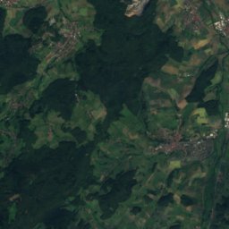
Satellite: Sentinel-2 cloudless 2016 by EOX IT Services GmbH · CC BY 4.0 · Contains modified Copernicus Sentinel data 2016
Kesselberg, Hesse23 km SE531 mJuly 23°Kesselberg, Hesse
Photo: Jörg Braukmann · CC BY-SA 4.0 · Wikimedia CommonsReport this photo · linked, not stored
Melibokus16 km SE517 mJuly 24°Melibokus
Stay nearby

Towns close by

Stockstadt am Rhein
Photo: ThomasPusch · CC BY-SA 3.0 · Wikimedia CommonsReport this photo · linked, not stored

Stockstadt am Rhein

Hesse · 0.8 km SE
15°Oct high
11wet days
53score
Stockstadt am Rhein
Erfelden
Photo: Rudolf Stricker · Attribution · Wikimedia CommonsReport this photo · linked, not stored

Erfelden

Hesse · 2.4 km N
15°Oct high
11wet days
53score
Erfelden
Riedstadt
Photo: Unknown author · CC BY-SA 3.0 · Wikimedia CommonsReport this photo · linked, not stored

Riedstadt

Hesse · 3.2 km NE
15°Oct high
11wet days
53score
Riedstadt
Goddelau
Photo: Rudolf Stricker · Attribution · Wikimedia CommonsReport this photo · linked, not stored

Goddelau

Hesse · 3.3 km NE
15°Oct high
11wet days
53score
Goddelau
Around here

Stockstadt am Rhein and around

Stockstadt am Rhein
Photo: ThomasPusch · CC BY-SA 3.0 · Wikimedia CommonsReport this photo · linked, not stored

Stockstadt am Rhein

Hesse · Germany
Apr · Jun · Sepbest months
26°July high
89 maltitude
Stockstadt am Rhein

Nature

Riedsee bei Leeheim
Photo: Nils Elger · Public domain · Wikimedia CommonsReport this photo · linked, not stored
6.6 km NW

Riedsee bei Leeheim

Lake · 80 m
Riedsee bei Leeheim
Lauter (Odenwald)
Photo: I, Kuebi · CC BY-SA 3.0 · Wikimedia CommonsReport this photo · linked, not stored
6.4 km S

Lauter (Odenwald)

River
Lauter (Odenwald)
Eicher See
Photo: Wikimedia-User Jivee Blau · CC BY-SA 3.0 · Wikimedia CommonsReport this photo · linked, not stored
5.7 km S

Eicher See

Lake · 87 m
Eicher See

Mountains

Neunkircher Höhe
Photo: Jörg Braukmann Milseburg · CC BY-SA 3.0 · Wikimedia CommonsReport this photo · linked, not stored
24 km SE

Neunkircher Höhe

605 m · Odenwald
Neunkircher Höhe
Hardberg (Odenwald)
Photo: Jörg Braukmann · CC BY-SA 4.0 · Wikimedia CommonsReport this photo · linked, not stored
38 km SE

Hardberg (Odenwald)

593 m · Odenwald
Hardberg (Odenwald)
Stiefelhöhe
Photo: Arne Hückelheim · CC BY-SA 3.0 · Wikimedia CommonsReport this photo · linked, not stored
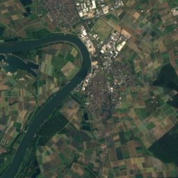
40 km SE

Stiefelhöhe

587 m · Odenwald
Stiefelhöhe

Heritage

Riedstadt-Goddelau station
Photo: 4028mdk09 · CC BY-SA 3.0 · Wikimedia CommonsReport this photo · linked, not stored
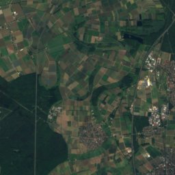
2.9 km NE

Riedstadt-Goddelau station

Kulturdenkmal
Riedstadt-Goddelau station
St. Catherine's Church, Oppenheim
Photo: Valgard · CC BY-SA 3.0 · Wikimedia CommonsReport this photo · linked, not stored
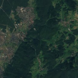
9.8 km NW

St. Catherine's Church, Oppenheim

cultural heritage monument in Rhineland-Palatinate · 1201
St. Catherine's Church, Oppenheim
Ludwigskirche, Darmstadt
Photo: Mstrydom · Public domain · Wikimedia CommonsReport this photo · linked, not stored
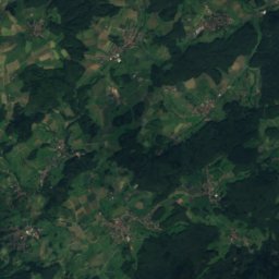
14 km NE

Ludwigskirche, Darmstadt

cultural heritage monument in Hesse · 1827
Ludwigskirche, Darmstadt

Museums

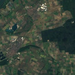
Satellite: Sentinel-2 cloudless 2016 by EOX IT Services GmbH · CC BY 4.0 · Contains modified Copernicus Sentinel data 2016
2.5 km NE

Psychiatrie-Museum Philippshospital
Psychiatrie-Museum Philippshospital
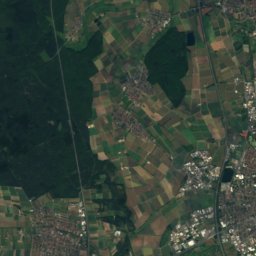
Satellite: Sentinel-2 cloudless 2016 by EOX IT Services GmbH · CC BY 4.0 · Contains modified Copernicus Sentinel data 2016
3.0 km N

Heimatmuseum Erfelden (Phil.Schäfer II Museum)
Heimatmuseum Erfelden (Phil.Schäfer II Museum)
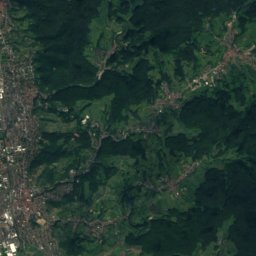
Satellite: Sentinel-2 cloudless 2016 by EOX IT Services GmbH · CC BY 4.0 · Contains modified Copernicus Sentinel data 2016
3.1 km E

Museum Crumstadt

Museum Crumstadt