
Photo: Olivier Cleynen · CC BY 4.0 · Wikimedia Commons
MausinselReport this photo · linked, not stored
MausinselReport this photo · linked, not stored

Photo: Carsten Steger · CC BY-SA 4.0 · Wikimedia Commons
WörthseeReport this photo · linked, not stored
WörthseeWörthseeReport this photo · linked, not stored

Photo: Carsten Steger · CC BY-SA 4.0 · Wikimedia Commons
PilsenseeReport this photo · linked, not stored
PilsenseePilsenseeReport this photo · linked, not stored

Photo: I. Berger · CC BY-SA 3.0 · Wikimedia Commons
Widdersberger WeiherReport this photo · linked, not stored
Widdersberger WeiherWiddersberger WeiherReport this photo · linked, not stored

Photo: Carsten Steger · CC BY-SA 4.0 · Wikimedia Commons
Weßlinger SeeReport this photo · linked, not stored
Weßlinger SeeWeßlinger SeeReport this photo · linked, not stored
IslandInning am Ammersee, Bavaria
Mausinsel
IslandBest Jul–Sep
Elevation–above sea level
Area0.1 km²surface
Nearest townInning am Ammersee2.4 km
48.06° N, 11.17° EUTC+2 · Central European Summer Time
When to goInning am Ammersee · weather score
Best timeJul–Sep
October: high / low14° / 5°
Island
Mausinsel in brief
Mausinsel is an island in Inning am Ammersee, Bavaria, Germany.
It covers about 0.1 km².
The nearest town in the atlas is Inning am Ammersee, 2.4 km to the NW, where the weather is best in July, August and September.
Weather nearby now
Forecast for Inning am Ammersee10°
Sunny now
Today
22 Oct
11°
5°
1 mm
Fri
23 Oct
14°
3°
Sat
24 Oct
8°
4°
Sun
25 Oct
11°
4°
11 mm
Mon
26 Oct
12°
6°
Model run 00:00 UTCRefreshed several times a day
The island from above
0.1 km² · coastline as mapped in OpenStreetMapWhen to go
Climate of Inning am AmmerseeThe best months around Mausinsel
Month score in Inning am Ammersee
Comfort, dry days and sunshine · out of 10022
Jan
26
Feb
25
Mar
53
Apr
62
May
64
Jun
66
Jul
65
Aug
69
Sep
47
Oct
26
Nov
18
Dec
Map
Mausinsel from above
Nature nearbyAll of Germany


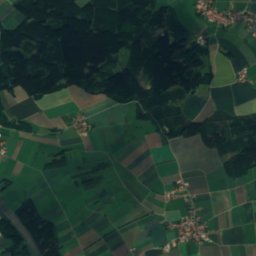
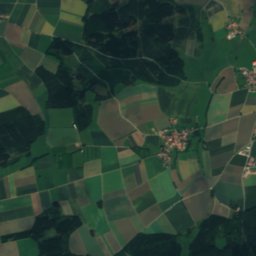
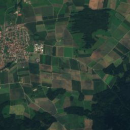
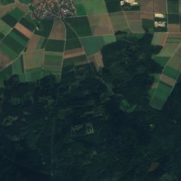
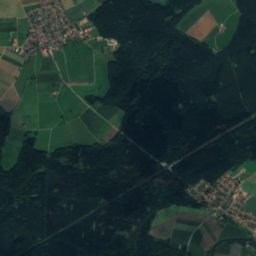
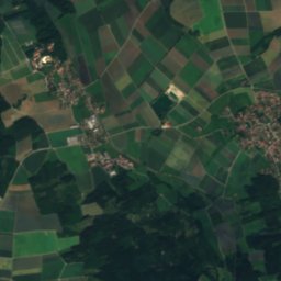
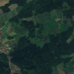
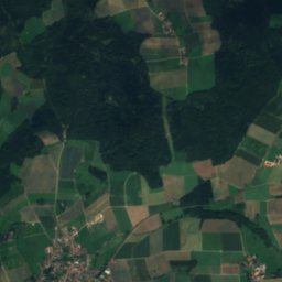
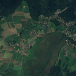
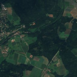
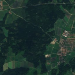
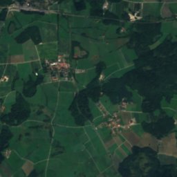
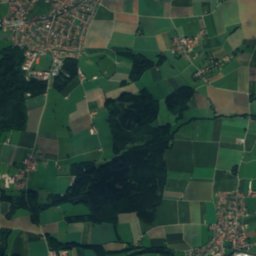
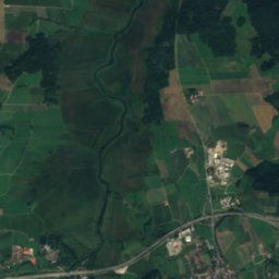
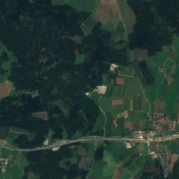
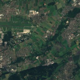
Satellite: Sentinel-2 cloudless 2016 by EOX IT Services GmbH · CC BY 4.0 · Contains modified Copernicus Sentinel data 2016


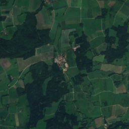
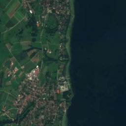
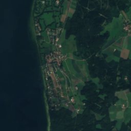
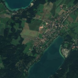
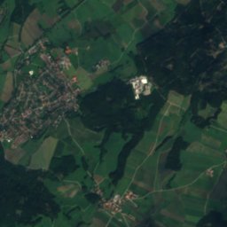
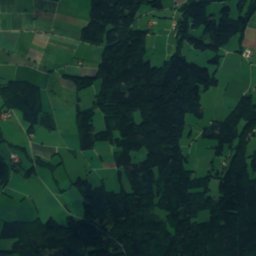
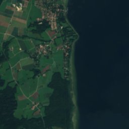
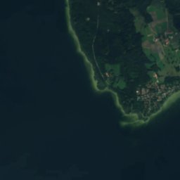
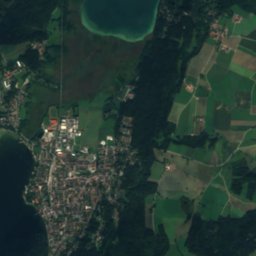
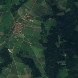
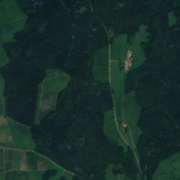
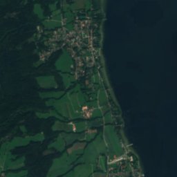
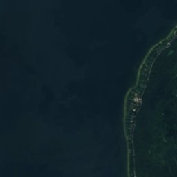
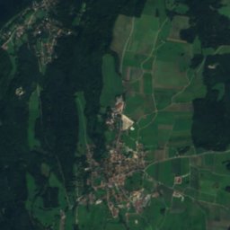
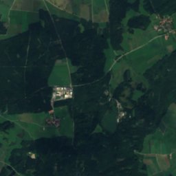
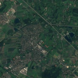
Satellite: Sentinel-2 cloudless 2016 by EOX IT Services GmbH · CC BY 4.0 · Contains modified Copernicus Sentinel data 2016
Summits nearbyMountains of Germany
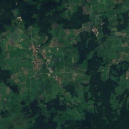
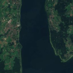
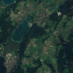
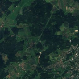
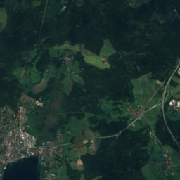
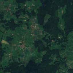
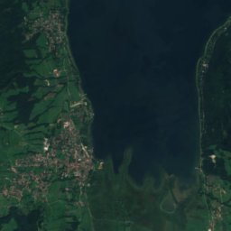
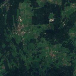
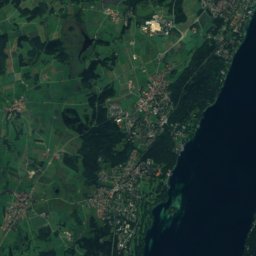
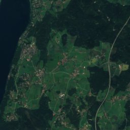
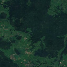
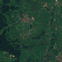
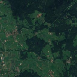
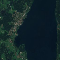
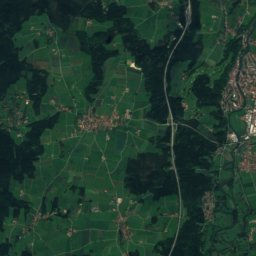
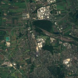
Satellite: Sentinel-2 cloudless 2016 by EOX IT Services GmbH · CC BY 4.0 · Contains modified Copernicus Sentinel data 2016

Photo: Gras-Ober, Wikipedia/Wikimedia Commons (cc-by-sa-3.0) · CC BY-SA 3.0 · Wikimedia CommonsReport this photo · linked, not stored
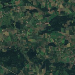
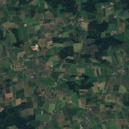
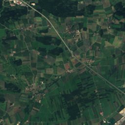
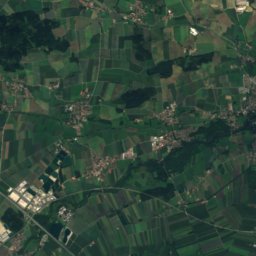
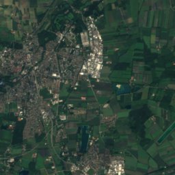
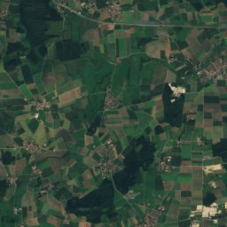
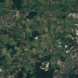
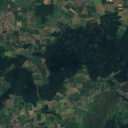
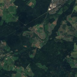
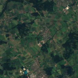
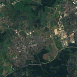
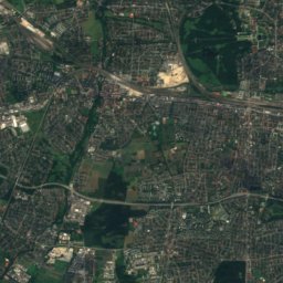
Satellite: Sentinel-2 cloudless 2016 by EOX IT Services GmbH · CC BY 4.0 · Contains modified Copernicus Sentinel data 2016
Stay nearby
Towns close by


Photo: User: Bbb at wikivoyage shared · CC BY-SA 3.0 · Wikimedia CommonsReport this photo · linked, not stored
Wörthsee
Bavaria · 2.8 km NE
14°Oct high
11wet days
46score

Photo: The original uploader was Mgeyer at German Wikipedia. · CC BY-SA 3.0 · Wikimedia CommonsReport this photo · linked, not stored
Seefeld
Bavaria · 4.1 km SE
14°Oct high
11wet days
47score

Around here
Inning am Ammersee and around
Nature

Mountains

Satellite: Sentinel-2 cloudless 2016 by EOX IT Services GmbH · CC BY 4.0 · Contains modified Copernicus Sentinel data 2016
Berndorfer Buchet
760 m

Photo: Gras-Ober, Wikipedia/Wikimedia Commons (cc-by-sa-3.0) · CC BY-SA 3.0 · Wikimedia CommonsReport this photo · linked, not stored
Ilkahöhe
726 m
Heritage


St. Johannes (Inning am Ammersee)
architectural heritage monument in Bavaria

Mariä Himmelfahrt, Inning am Ammersee
architectural heritage monument in Bavaria · 1742
Museums


Mathias and Anna Sophie Gasteiger’s House
Artist museum · 1994


