Skip to content
Destinations
Weather & climate
Nature
Outdoors
Culture
Events
Sky & live
Malxe
Photo: Assenmacher · CC BY-SA 4.0 · Wikimedia Commons
MalxeReport this photo · linked, not stored
Radduscher Kahnfahrt
Photo: Olaf Meister · CC BY-SA 3.0 · Wikimedia Commons
Radduscher KahnfahrtReport this photo · linked, not stored
Radduscher Kahnfahrt
Vetschauer Mühlenfließ
Photo: Olaf Meister · CC BY-SA 3.0 · Wikimedia Commons
Vetschauer MühlenfließReport this photo · linked, not stored
Vetschauer Mühlenfließ
RiverBurg, Brandenburg

Malxe

River54 m elevationBest May–Jun · Sep
Elevation54 mabove sea level
Length45 kmsource to mouth
Nearest townBurg3.3 km
51.85° N, 14.19° EElevation 54 mUTC+1 · Central European Standard Time
When to goBurg · weather score
JanFebMarAprMayJunJulAugSepOctNovDec52October
Best timeMay–Jun · Sep
October: high / low15° / 6°
River

Malxe in brief

Malxe is a river in Burg, Brandenburg, Germany.

It lies at 54 m above sea level.

The nearest town is Burg, 3.3 km to the SW, where the weather is best in May, June and September.

Malxe is 45 km long.

Burg: weather and travel guide

Weather nearby now

Forecast for Burg
7°
Cloudy now
Wind9 km/h
Humidity83%
Cloud cover89%
Today
28 Oct
13°
5°
Thu
29 Oct
14°
3°
Fri
30 Oct
13°
7°
Sat
31 Oct
12°
6°
1 mm
Sun
1 Nov
9°
4°
4 mm

Model run 12:00 UTCRefreshed several times a day

The course of the river

As mapped in OpenStreetMap, with the towns along its banks.
12
  1. 1Peitz64 m
  2. 2Drehnow60 m
sourcemouth (or where the mapped line leaves the country)
When to go

The best months around Malxe

Climate of Burg

Month score in Burg

Comfort, dry days and sunshine · out of 100
18
Jan
27
Feb
25
Mar
66
Apr
71
May
70
Jun
62
Jul
68
Aug
74
Sep
52
Oct
24
Nov
19
Dec
Map

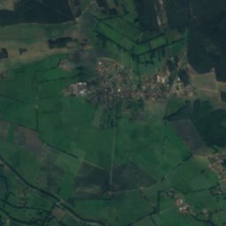
Malxe from above

Nature nearbyAll of Germany
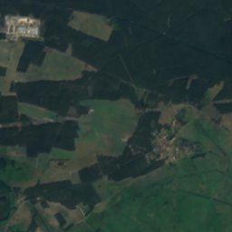
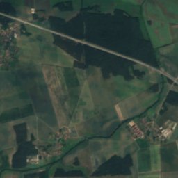
Satellite: Sentinel-2 cloudless 2016 by EOX IT Services GmbH · CC BY 4.0 · Contains modified Copernicus Sentinel data 2016
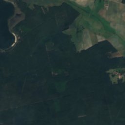
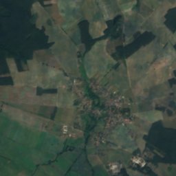
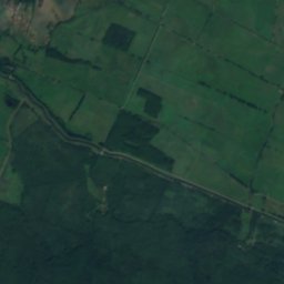
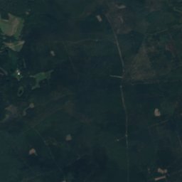
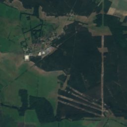
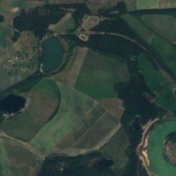
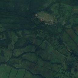
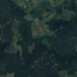
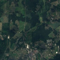
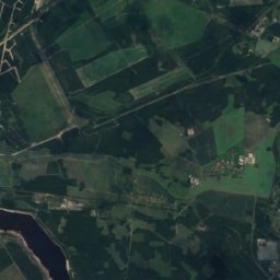
Byhleguhrer SeeLake5.0 kmNByhleguhrer See
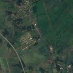
Satellite: Sentinel-2 cloudless 2016 by EOX IT Services GmbH · CC BY 4.0 · Contains modified Copernicus Sentinel data 2016
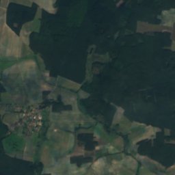
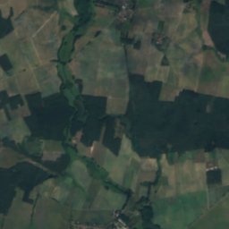
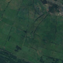
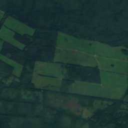
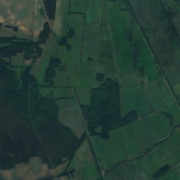
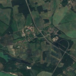
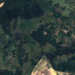
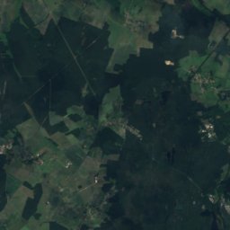
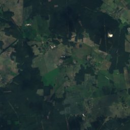
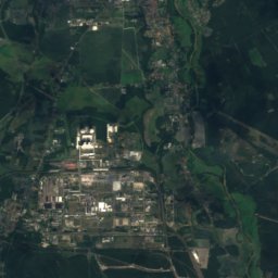
DutzendseeLake6.7 kmNWDutzendsee
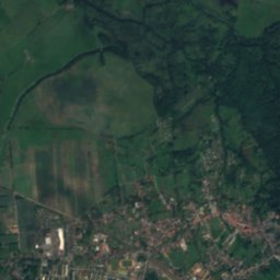
Satellite: Sentinel-2 cloudless 2016 by EOX IT Services GmbH · CC BY 4.0 · Contains modified Copernicus Sentinel data 2016
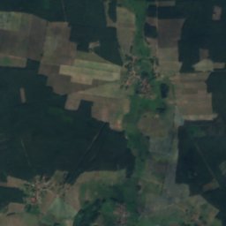
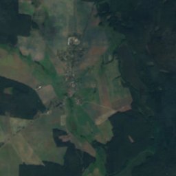
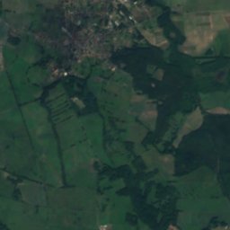
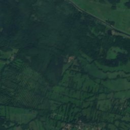
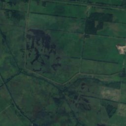
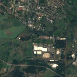
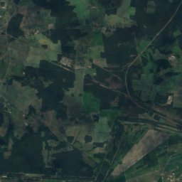
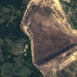
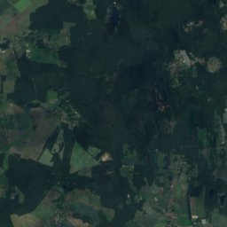
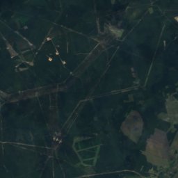
Byhlener SeeLake6.9 kmNByhlener See
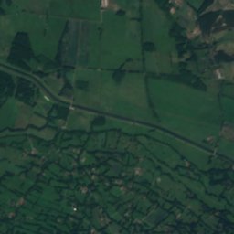
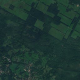
Satellite: Sentinel-2 cloudless 2016 by EOX IT Services GmbH · CC BY 4.0 · Contains modified Copernicus Sentinel data 2016
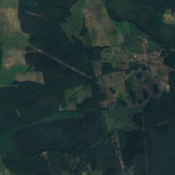
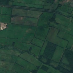
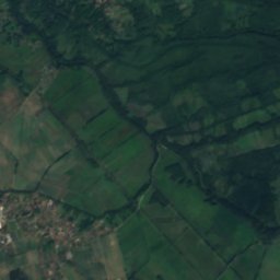
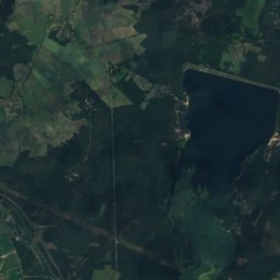
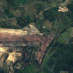
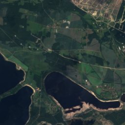
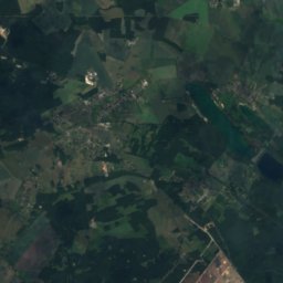
Waldsee, StraupitzLake7.1 kmNWaldsee, Straupitz
Photo: Olaf Meister · CC BY-SA 3.0 · Wikimedia CommonsReport this photo · linked, not stored
Radduscher KahnfahrtRiver8.9 kmWRadduscher Kahnfahrt
Photo: Olaf Meister · CC BY-SA 3.0 · Wikimedia CommonsReport this photo · linked, not stored
Vetschauer MühlenfließRiver9.3 kmWVetschauer Mühlenfließ
Stay nearby

Towns close by

Burg
Photo: Stefan Fussan · CC BY-SA 3.0 · Wikimedia CommonsReport this photo · linked, not stored

Burg

Brandenburg · 3.3 km SW
15°Oct high
10wet days
52score
Burg
Werben
Photo: Dguendel · CC BY 4.0 · Wikimedia CommonsReport this photo · linked, not stored

Werben

Brandenburg · 4.1 km S
15°Oct high
10wet days
52score
Werben
Guhrow
Photo: Dguendel · CC BY 4.0 · Wikimedia CommonsReport this photo · linked, not stored

Guhrow

Brandenburg · 5.4 km SE
15°Oct high
10wet days
52score
Guhrow
Briesen
Photo: Tourist Cottbus · CC BY-SA 3.0 · Wikimedia CommonsReport this photo · linked, not stored

Briesen

Brandenburg · 5.8 km SE
15°Oct high
10wet days
52score
Briesen
Around here

Burg and around

Burg
Photo: Stefan Fussan · CC BY-SA 3.0 · Wikimedia CommonsReport this photo · linked, not stored

Burg

Brandenburg · Germany
May–Jun · Sepbest months
26°July high
58 maltitude
Burg

Nature

Vetschauer Mühlenfließ
Photo: Olaf Meister · CC BY-SA 3.0 · Wikimedia CommonsReport this photo · linked, not stored
6.4 km W

Vetschauer Mühlenfließ

River
Vetschauer Mühlenfließ
Radduscher Kahnfahrt
Photo: Olaf Meister · CC BY-SA 3.0 · Wikimedia CommonsReport this photo · linked, not stored
6.1 km W

Radduscher Kahnfahrt

River
Radduscher Kahnfahrt
Satellite: Sentinel-2 cloudless 2016 by EOX IT Services GmbH · CC BY 4.0 · Contains modified Copernicus Sentinel data 2016
11 km W

Uska Luke

River
Uska Luke

Mountains

Hoher Berg, Brandenburg
Photo: Lhbhl · CC BY-SA 4.0 · Wikimedia CommonsReport this photo · linked, not stored
38 km SE

Hoher Berg, Brandenburg

184 m
Hoher Berg, Brandenburg
Satellite: Sentinel-2 cloudless 2016 by EOX IT Services GmbH · CC BY 4.0 · Contains modified Copernicus Sentinel data 2016
33 km SE

Georgenberg, Brandenburg

139 m
Georgenberg, Brandenburg

Heritage

Evangelische Kirche Burg
Photo: Derbrauni · CC BY 4.0 · Wikimedia CommonsReport this photo · linked, not stored
0.2 km S

Evangelische Kirche Burg

architectural heritage monument in Brandenburg · 1790
Evangelische Kirche Burg
Bismarck Tower (Burg (Spreewald))
Photo: Oberlausitzerin64 · CC BY-SA 4.0 · Wikimedia CommonsReport this photo · linked, not stored
1.4 km NE

Bismarck Tower (Burg (Spreewald))

architectural heritage monument · 1917
Bismarck Tower (Burg (Spreewald))
Luther-Eiche in Burg
Photo: J.-H. Janßen · CC BY-SA 3.0 · Wikimedia CommonsReport this photo · linked, not stored
under 100 m S

Luther-Eiche in Burg

single natural monument in Brandenburg · 1883
Luther-Eiche in Burg

Museums

Heimatstube Burg
Photo: Derbrauni · CC BY 4.0 · Wikimedia CommonsReport this photo · linked, not stored
0.3 km N

Heimatstube Burg

Heimatstube Burg
Slawenburg Raddusch
Photo: Pudelek (Marcin Szala) · CC BY-SA 3.0 · Wikimedia CommonsReport this photo · linked, not stored
8.8 km W

Slawenburg Raddusch

Slawenburg Raddusch
Freilandmuseum Lehde
Photo: A.Savin · FAL · Wikimedia CommonsReport this photo · linked, not stored
11 km W

Freilandmuseum Lehde

Open-air museum · 1957
Freilandmuseum Lehde