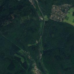
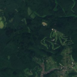
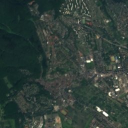
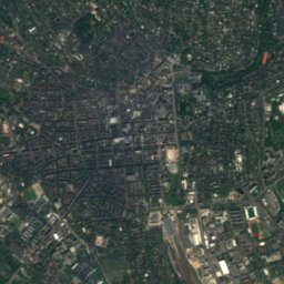
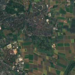
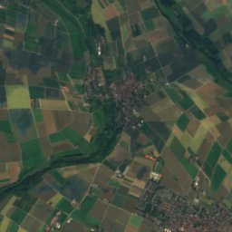
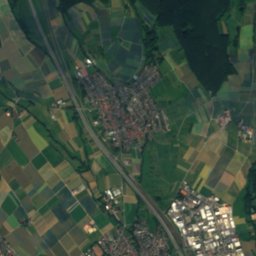
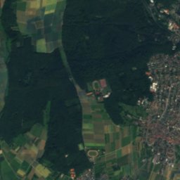
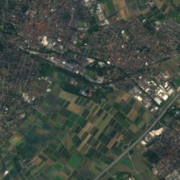
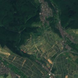
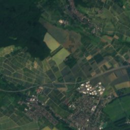
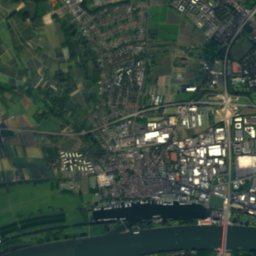
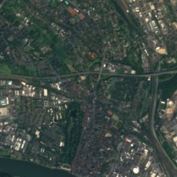
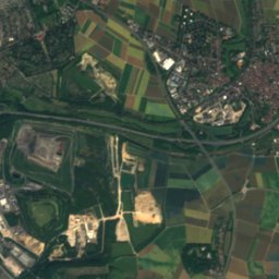
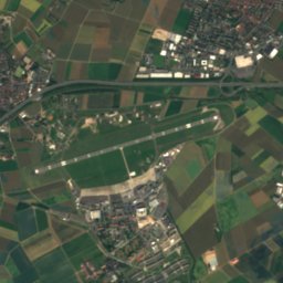
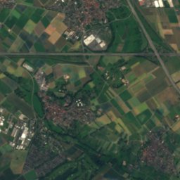
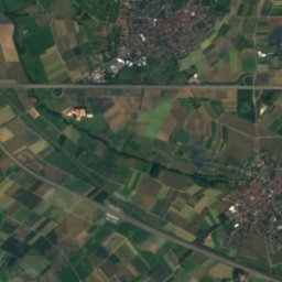
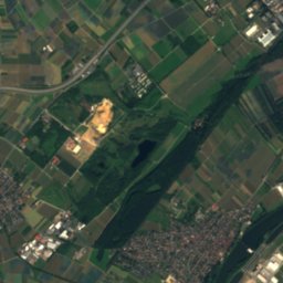
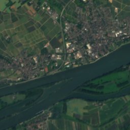
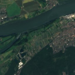
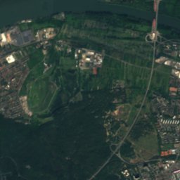
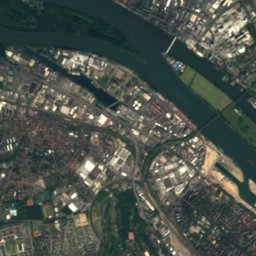
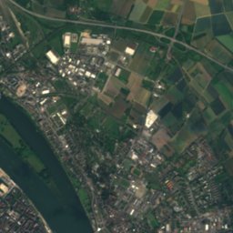
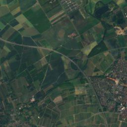
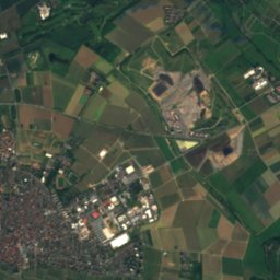
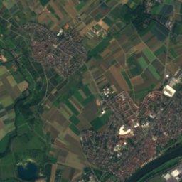
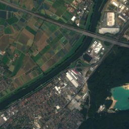
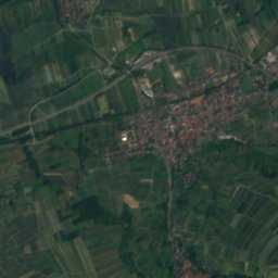
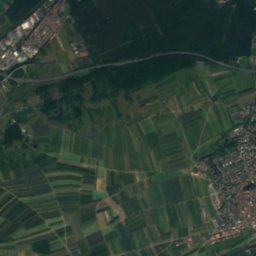
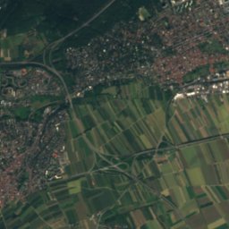
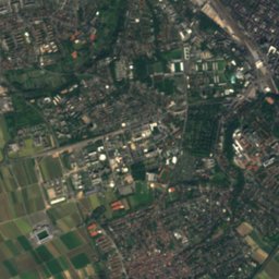
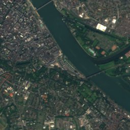
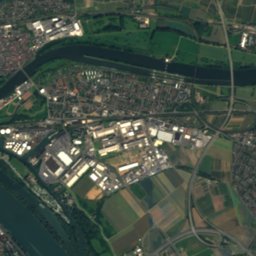
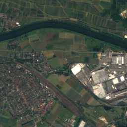
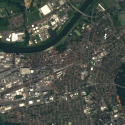
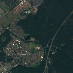
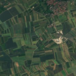
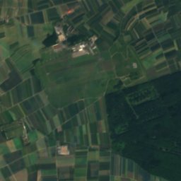
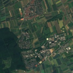
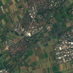
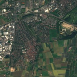
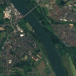
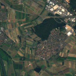
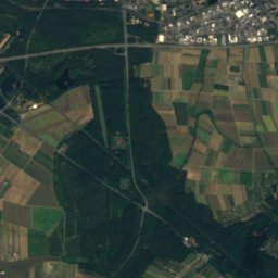
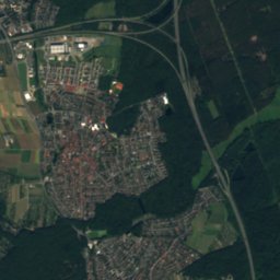
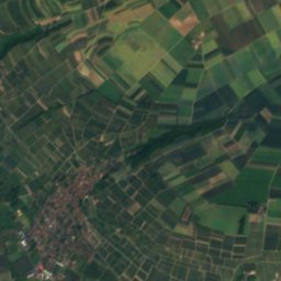
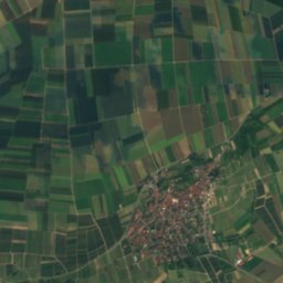
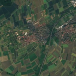
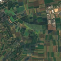
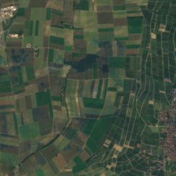
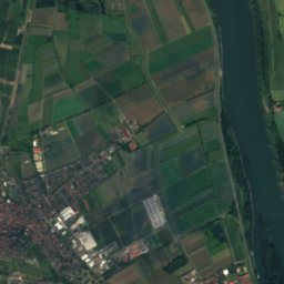
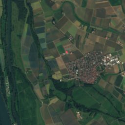
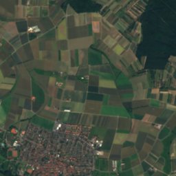
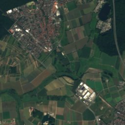
Satellite: Sentinel-2 cloudless 2016 by EOX IT Services GmbH · CC BY 4.0 · Contains modified Copernicus Sentinel data 2016

Photo: DerNurNochAlsBilderlieferantMitmacht · CC0 · Wikimedia Commons
Schwarzbach (Ried)Report this photo · linked, not stored
Schwarzbach (Ried)Schwarzbach (Ried)Report this photo · linked, not stored

Photo: Martin Kraft · CC BY-SA 3.0 · Wikimedia Commons
RettbergsaueReport this photo · linked, not stored
RettbergsaueRettbergsaueReport this photo · linked, not stored

Photo: Milseburg · CC BY-SA 3.0 · Wikimedia Commons
Kalte HerbergeReport this photo · linked, not stored
Kalte HerbergeKalte HerbergeReport this photo · linked, not stored

Photo: MdE · CC BY-SA 3.0 de · Wikimedia Commons
Hohe Wurzel (Taunus)Report this photo · linked, not stored
Hohe Wurzel (Taunus)Hohe Wurzel (Taunus)Report this photo · linked, not stored
RiverMainz, Rheinland-Pfalz
Main
River83 m elevationBest May–Jun · Sep
Elevation83 mabove sea level
Length524 kmsource to mouth
Nearest townMainz1.7 km
49.99° N, 8.29° EElevation 83 mUTC+1 · Central European Standard Time
When to goMainz · weather score
Best timeMay–Jun · Sep
October: high / low15° / 7°
River
Main in brief
Main is a river in Mainz, Rheinland-Pfalz, Germany.
It lies at 83 m above sea level.
The nearest town is Mainz, 1.7 km to the SW, where the weather is best in May, June and September.
Main is 524 km long.
Weather nearby now
Forecast for Mainz11°
Cloudy now
Today
26 Oct
14°
10°
Tue
27 Oct
16°
9°
Wed
28 Oct
15°
6°
1 mm
Thu
29 Oct
13°
5°
Fri
30 Oct
12°
4°
Model run 12:00 UTCRefreshed several times a day
The course of the river
As mapped in OpenStreetMap, with the towns along its banks.- 1Mainleus300 m
- 2Altenkunstadt289 m
- 3Burgkunstadt304 m
- 4Bad Staffelstein274 m
- 5Ebensfeld259 m
- 6Zapfendorf249 m
- 7Hallstadt242 m
- 8Bischberg241 m
- 9Eltmann237 m
- 10Zeil am Main235 m
- 11Haßfurt233 m
- 12Schonungen262 m
- 13Schweinfurt250 m
- 14Volkach203 m
sourcemouth (or where the mapped line leaves the country)
Map
Main from above
Nature nearbyAll of Germany
Satellite: Sentinel-2 cloudless 2016 by EOX IT Services GmbH · CC BY 4.0 · Contains modified Copernicus Sentinel data 2016
Satellite: Sentinel-2 cloudless 2016 by EOX IT Services GmbH · CC BY 4.0 · Contains modified Copernicus Sentinel data 2016

Photo: DerNurNochAlsBilderlieferantMitmacht · CC0 · Wikimedia CommonsReport this photo · linked, not stored
Satellite: Sentinel-2 cloudless 2016 by EOX IT Services GmbH · CC BY 4.0 · Contains modified Copernicus Sentinel data 2016
Satellite: Sentinel-2 cloudless 2016 by EOX IT Services GmbH · CC BY 4.0 · Contains modified Copernicus Sentinel data 2016

Summits nearbyMountains of Germany


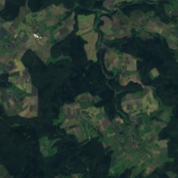
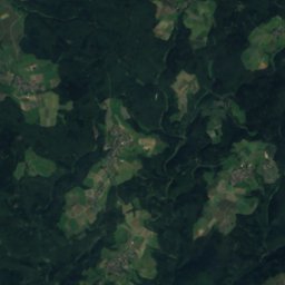
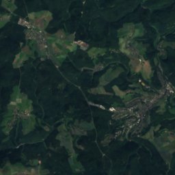
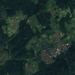
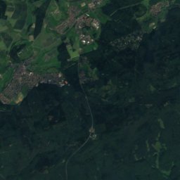
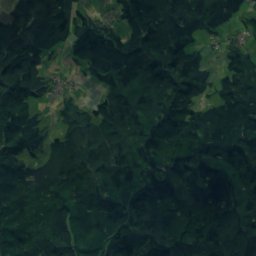
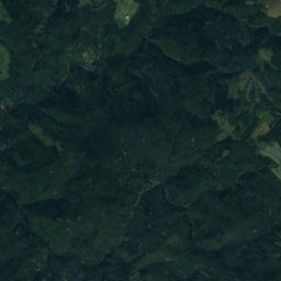
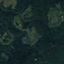
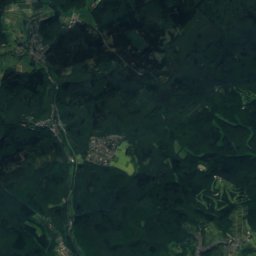
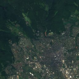
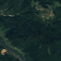
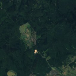
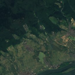
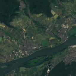
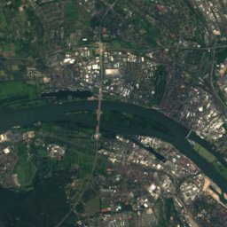
Satellite: Sentinel-2 cloudless 2016 by EOX IT Services GmbH · CC BY 4.0 · Contains modified Copernicus Sentinel data 2016
Stay nearby
Towns close by

Photo: Ansgar Koreng / CC BY-SA 3.0 (DE) · CC BY-SA 3.0 de · Wikimedia CommonsReport this photo · linked, not stored
Mainz
Rheinland-Pfalz · 1.7 km SW
15°Oct high
11wet days
51score


Around here
Mainz and around
Photo: Ansgar Koreng / CC BY-SA 3.0 (DE) · CC BY-SA 3.0 de · Wikimedia CommonsReport this photo · linked, not stored
Mainz
Rheinland-Pfalz · Germany
May–Jun · Sepbest months
26°July high
125 maltitude
Nature

Photo: Kuebi = Armin Kübelbeck · CC BY-SA 3.0 · Wikimedia CommonsReport this photo · linked, not stored
Darmbach
River
Photo: DerNurNochAlsBilderlieferantMitmacht · CC0 · Wikimedia CommonsReport this photo · linked, not stored
Schwarzbach (Ried)
River

Mountains


Heritage


Photo: Wolfgang Pehlemann Wiesbaden Germany · CC BY-SA 3.0 de · Wikimedia CommonsReport this photo · linked, not stored
Protestant Christ Church, Mainz
cultural heritage monument in Rhineland-Palatinate · 1903
Museums

Photo: Pedelecs by Wikivoyage and Wikipedia · CC BY-SA 3.0 · Wikimedia CommonsReport this photo · linked, not stored
Gutenberg Museum
1900


