

Photo: Tola69 · CC BY-SA 3.0 · Wikimedia Commons
Jöllenbecker MühlenbachReport this photo · linked, not stored
Jöllenbecker MühlenbachJöllenbecker MühlenbachReport this photo · linked, not stored

Photo: Ub12vow · CC BY-SA 3.0 · Wikimedia Commons
Obersee, BielefeldReport this photo · linked, not stored
Obersee, BielefeldObersee, BielefeldReport this photo · linked, not stored

Photo: w:de:User:Tola69 · CC BY-SA 3.0 de · Wikimedia Commons
SiekbachReport this photo · linked, not stored
SiekbachSiekbachReport this photo · linked, not stored

Photo: Jörg Braukmann · CC BY-SA 3.0 · Wikimedia Commons
Bielstein, North Rhine-WestphaliaReport this photo · linked, not stored
Bielstein, North Rhine-WestphaliaBielstein, North Rhine-WestphaliaReport this photo · linked, not stored
RiverBielefeld, North Rhine-Westphalia
Lutter (Aa)
RiverBest May–Jun · Sep
Elevation–above sea level
Length12 kmsource to mouth
Nearest townBielefeld6.7 km
52.06° N, 8.62° EUTC+1 · Central European Standard Time
When to goBielefeld · weather score
Best timeMay–Jun · Sep
October: high / low14° / 7°
River
Lutter (Aa) in brief
Lutter (Aa) is a river in Bielefeld, North Rhine-Westphalia, Germany.
The nearest town is Bielefeld, 6.7 km to the SW, where the weather is best in May, June and September.
Lutter (Aa) is 12 km long.
Weather nearby now
Forecast for Bielefeld12°
Cloudy now
Today
26 Oct
13°
7°
Tue
27 Oct
17°
10°
1 mm
Wed
28 Oct
13°
7°
Thu
29 Oct
13°
6°
Fri
30 Oct
12°
6°
Model run 12:00 UTCRefreshed several times a day
Map
Lutter (Aa) from above
Nature nearbyAll of Germany
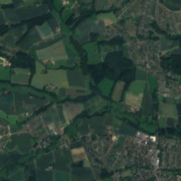
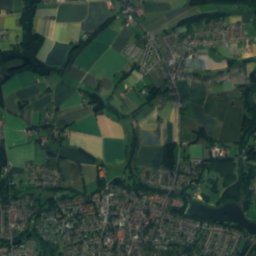
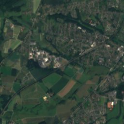
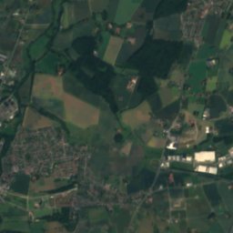
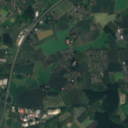
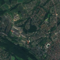
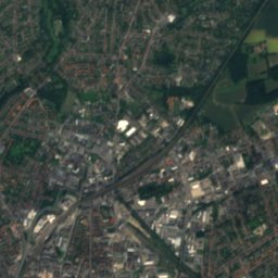
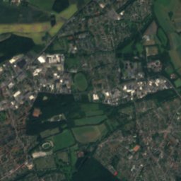
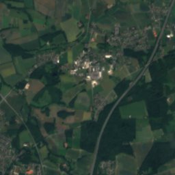
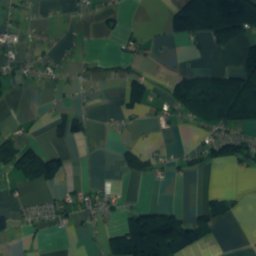
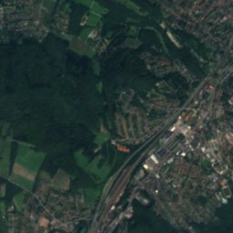
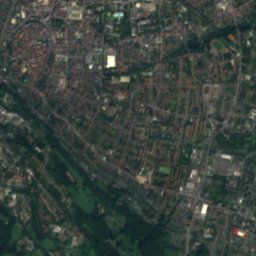
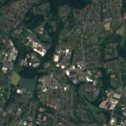
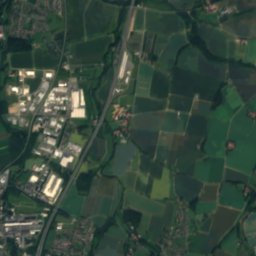
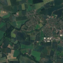
Satellite: Sentinel-2 cloudless 2016 by EOX IT Services GmbH · CC BY 4.0 · Contains modified Copernicus Sentinel data 2016


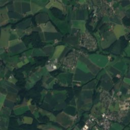
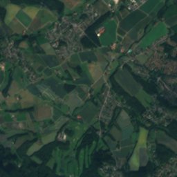
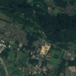
Satellite: Sentinel-2 cloudless 2016 by EOX IT Services GmbH · CC BY 4.0 · Contains modified Copernicus Sentinel data 2016
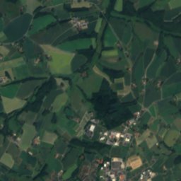
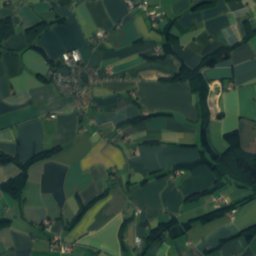
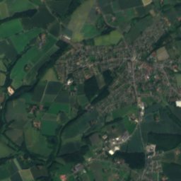
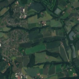
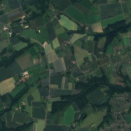
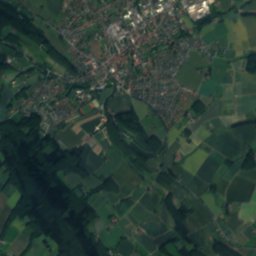
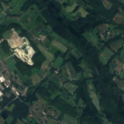
Satellite: Sentinel-2 cloudless 2016 by EOX IT Services GmbH · CC BY 4.0 · Contains modified Copernicus Sentinel data 2016
Summits nearbyMountains of Germany

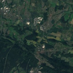
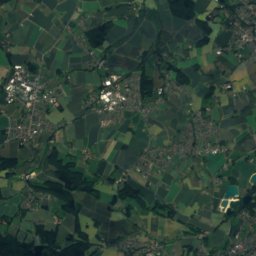
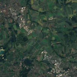
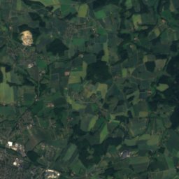
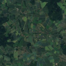
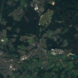
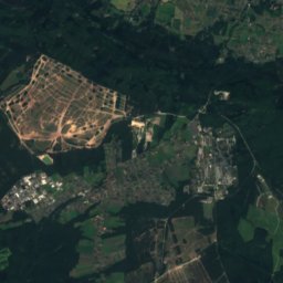
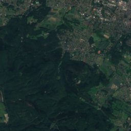
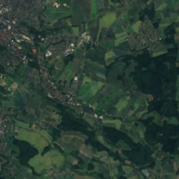
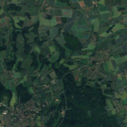
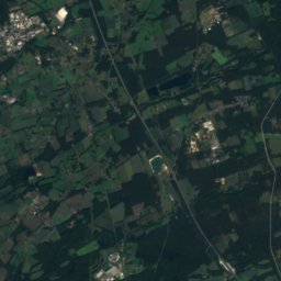
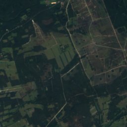
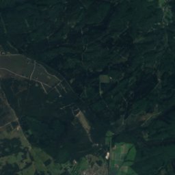
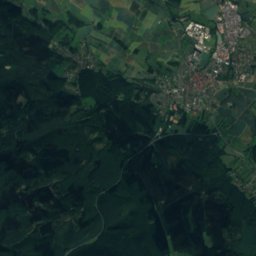
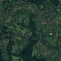
Satellite: Sentinel-2 cloudless 2016 by EOX IT Services GmbH · CC BY 4.0 · Contains modified Copernicus Sentinel data 2016

Satellite: Sentinel-2 cloudless 2016 by EOX IT Services GmbH · CC BY 4.0 · Contains modified Copernicus Sentinel data 2016
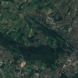
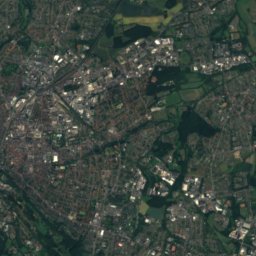
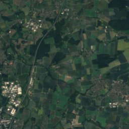
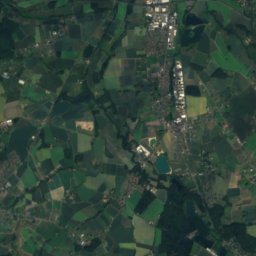
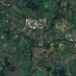
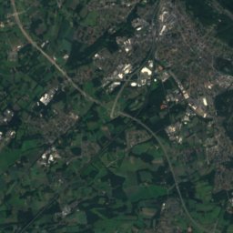
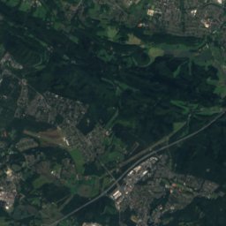
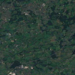
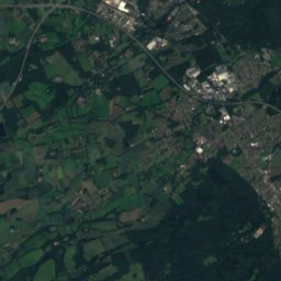
Satellite: Sentinel-2 cloudless 2016 by EOX IT Services GmbH · CC BY 4.0 · Contains modified Copernicus Sentinel data 2016

Photo: J. Braukmann Milseburg · CC BY-SA 3.0 · Wikimedia CommonsReport this photo · linked, not stored
Stay nearby
Towns close by


Photo: "Ingo Kirschnereit Cyclejakob" · CC BY 3.0 · Wikimedia CommonsReport this photo · linked, not stored
Herford
North Rhine-Westphalia · 6.7 km NE
14°Oct high
12wet days
44score


Around here
Bielefeld and around
Nature


Mountains
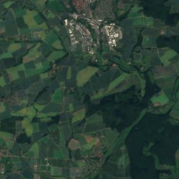
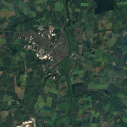
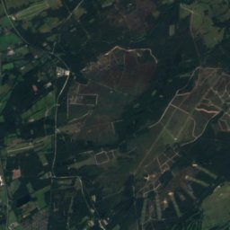
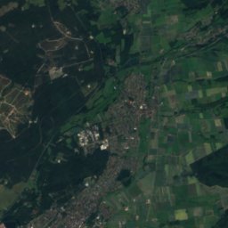
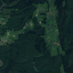
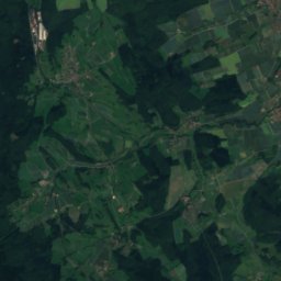
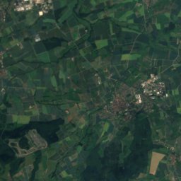
Satellite: Sentinel-2 cloudless 2016 by EOX IT Services GmbH · CC BY 4.0 · Contains modified Copernicus Sentinel data 2016
Preußische Velmerstot
468 m


Heritage
Satellite: Sentinel-2 cloudless 2016 by EOX IT Services GmbH · CC BY 4.0 · Contains modified Copernicus Sentinel data 2016
Theater Bielefeld
architectural heritage monument in North Rhine-Westphalia · 1904

Bielefeld Central Station
architectural heritage monument in North Rhine-Westphalia · 1847

Kunsthalle Bielefeld
architectural heritage monument in North Rhine-Westphalia · 1968


