Skip to content
Destinations
Weather & climate
Nature
Outdoors
Culture
Events
Sky & live
Loopebach
Photo: Chris06 · CC BY-SA 4.0 · Wikimedia Commons
LoopebachReport this photo · linked, not stored
Naafbach
Photo: Kkusch · Public domain · Wikimedia Commons
NaafbachReport this photo · linked, not stored
Naafbach
Aggertalhöhle
Photo: A.Savin · CC BY-SA 3.0 · Wikimedia Commons
AggertalhöhleReport this photo · linked, not stored
Aggertalhöhle
Leppe
Photo: Beauregard273 · CC BY-SA 4.0 · Wikimedia Commons
LeppeReport this photo · linked, not stored
Leppe
Homert, Meinerzhagen
Photo: Schmidti 1977 at German Wikipedia · CC BY-SA 2.0 de · Wikimedia Commons
Homert, MeinerzhagenReport this photo · linked, not stored
Homert, Meinerzhagen
RiverEngelskirchen, North Rhine-Westphalia

Loopebach

RiverBest Jul–Sep
Elevation–above sea level
Length7.7 kmsource to mouth
Nearest townEngelskirchen5.0 km
50.95° N, 7.45° EUTC+2 · Central European Summer Time
When to goEngelskirchen · weather score
JanFebMarAprMayJunJulAugSepOctNovDec43October
Best timeJul–Sep
October: high / low14° / 7°
River

Loopebach in brief

Loopebach is a river in Engelskirchen, North Rhine-Westphalia, Germany.

The nearest town in the atlas is Engelskirchen, 5.0 km to the NW, where the weather is best in July, August and September.

Loopebach is 7.7 km long.

Engelskirchen: weather and travel guide

Weather nearby now

Forecast for Engelskirchen
9°
Clear now
Wind14 km/h
Humidity93%
Cloud cover19%
Today
22 Oct
11°
5°
2 mm
Fri
23 Oct
14°
8°
10 mm
Sat
24 Oct
12°
5°
9 mm
Sun
25 Oct
13°
8°
36 mm
Mon
26 Oct
12°
7°
4 mm

Model run 00:00 UTCRefreshed several times a day

When to go

The best months around Loopebach

Climate of Engelskirchen

Month score in Engelskirchen

Comfort, dry days and sunshine · out of 100
Map

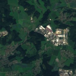
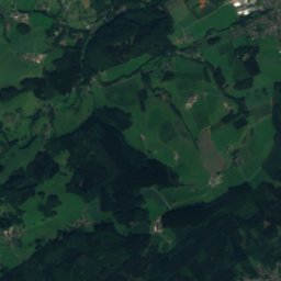
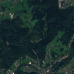
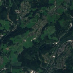
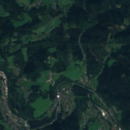
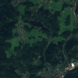
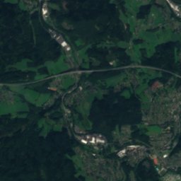
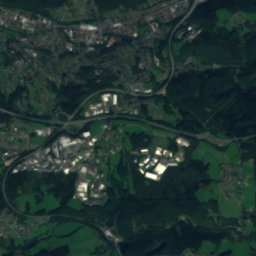
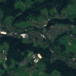
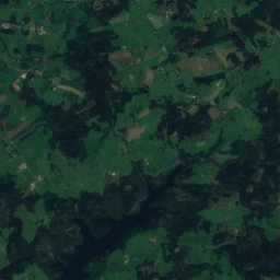
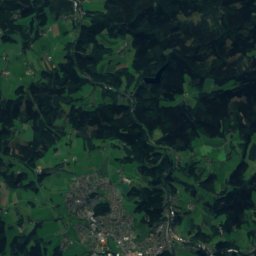
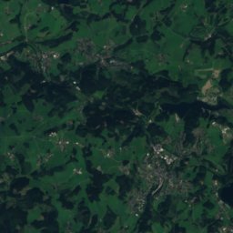
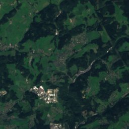
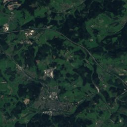
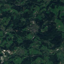
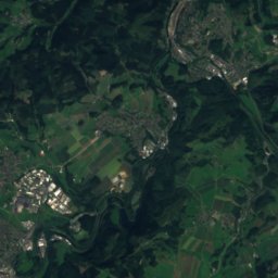
Loopebach from above

Nature nearbyAll of Germany
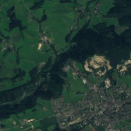
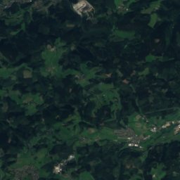
Satellite: Sentinel-2 cloudless 2016 by EOX IT Services GmbH · CC BY 4.0 · Contains modified Copernicus Sentinel data 2016
WalbachRiver4.2 kmNWalbach
Photo: Kkusch · Public domain · Wikimedia CommonsReport this photo · linked, not stored
NaafbachRiver4.6 kmWNaafbach
Photo: A.Savin · CC BY-SA 3.0 · Wikimedia CommonsReport this photo · linked, not stored
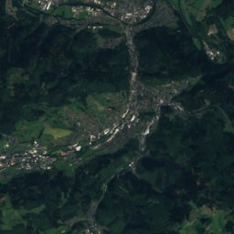
AggertalhöhleCave4.9 kmNAggertalhöhle
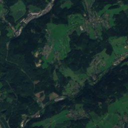
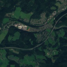
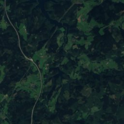
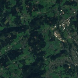
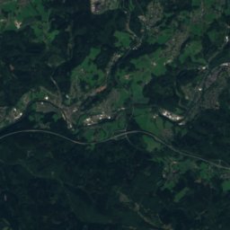
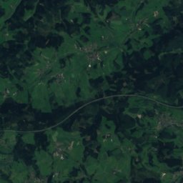
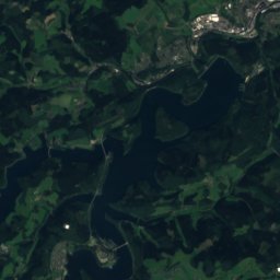
Satellite: Sentinel-2 cloudless 2016 by EOX IT Services GmbH · CC BY 4.0 · Contains modified Copernicus Sentinel data 2016
Wind hole in the MühlenbergCave5.0 kmNWind hole in the Mühlenberg
Photo: Beauregard273 · CC BY-SA 4.0 · Wikimedia CommonsReport this photo · linked, not stored
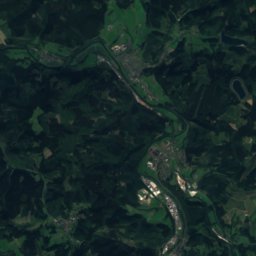
LeppeRiver5.2 kmNWLeppe
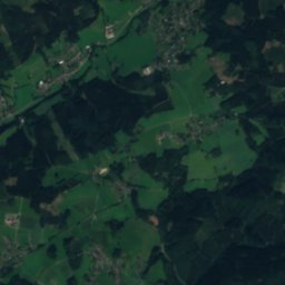
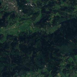
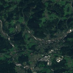
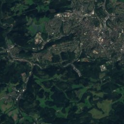
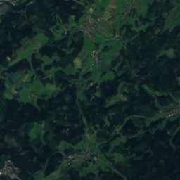
Satellite: Sentinel-2 cloudless 2016 by EOX IT Services GmbH · CC BY 4.0 · Contains modified Copernicus Sentinel data 2016
Alpe-BachRiver5.9 kmEAlpe-Bach
Summits nearbyMountains of Germany
Photo: Schmidti 1977 at German Wikipedia · CC BY-SA 2.0 de · Wikimedia CommonsReport this photo · linked, not stored
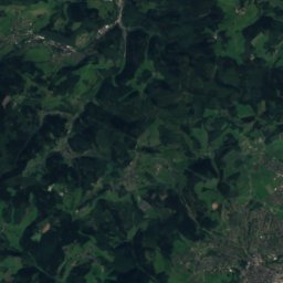
Homert, Meinerzhagen22 km NE519 mJuly 22°Homert, Meinerzhagen
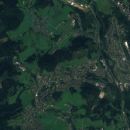
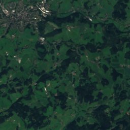
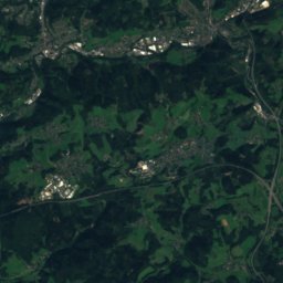
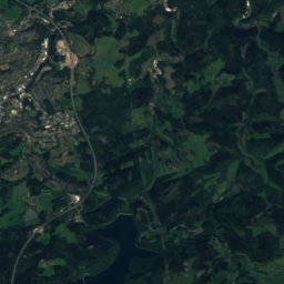
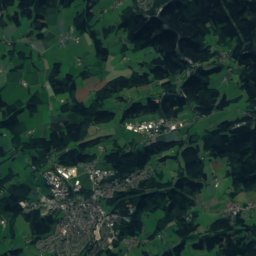
Satellite: Sentinel-2 cloudless 2016 by EOX IT Services GmbH · CC BY 4.0 · Contains modified Copernicus Sentinel data 2016
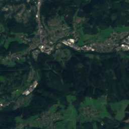
Unnenberg17 km NE506 mJuly 22°Unnenberg
Photo: Olbertz · CC BY-SA 3.0 · Wikimedia CommonsReport this photo · linked, not stored
Hoher Schaden24 km S388 mJuly 23°Hoher Schaden
Satellite: Sentinel-2 cloudless 2016 by EOX IT Services GmbH · CC BY 4.0 · Contains modified Copernicus Sentinel data 2016
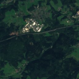
Lumer16 km NE386 mJuly 23°Lumer
Photo: G.Friedrich · CC BY 3.0 · Wikimedia CommonsReport this photo · linked, not stored
Heckberg2.8 km W383 mJuly 23°Heckberg
Photo: Dieter Clasen (Benutzer:Majortom7) · CC BY-SA 3.0 de · Wikimedia CommonsReport this photo · linked, not stored
Hohes Wäldchen14 km SE378 mJuly 23°Hohes Wäldchen
Stay nearby

Towns close by

Engelskirchen
Photo: A.Savin · CC BY-SA 3.0 · Wikimedia CommonsReport this photo · linked, not stored

Engelskirchen

North Rhine-Westphalia · 5.0 km NW
14°Oct high
13wet days
43score
Engelskirchen
Much
Photo: The original uploader was Olbertz at German Wikipedia. (Original text: Olbertz) · CC BY-SA 3.0 · Wikimedia CommonsReport this photo · linked, not stored

Much

North Rhine-Westphalia · 6.1 km SW
14°Oct high
13wet days
41score
Much
Wiehl
Photo: Quoth · CC BY-SA 3.0 · Wikimedia CommonsReport this photo · linked, not stored

Wiehl

North Rhine-Westphalia · 7.0 km E
14°Oct high
13wet days
39score
Wiehl
Nümbrecht
Photo: Sebastian Hirsch (Diskussion) · CC BY-SA 3.0 · Wikimedia CommonsReport this photo · linked, not stored

Nümbrecht

North Rhine-Westphalia · 8.1 km SE
14°Oct high
13wet days
38score
Nümbrecht
Around here

Engelskirchen and around

Engelskirchen
Photo: A.Savin · CC BY-SA 3.0 · Wikimedia CommonsReport this photo · linked, not stored

Engelskirchen

North Rhine-Westphalia · Germany
Jul–Sepbest months
24°July high
144 maltitude
Engelskirchen

Nature

Leppe
Photo: Beauregard273 · CC BY-SA 4.0 · Wikimedia CommonsReport this photo · linked, not stored
0.5 km W

Leppe

River · 125 m
Leppe
Naafbach
Photo: Kkusch · Public domain · Wikimedia CommonsReport this photo · linked, not stored
5.3 km S

Naafbach

River
Naafbach
Schlingenbach
Photo: Duschan1944 · CC BY-SA 3.0 · Wikimedia CommonsReport this photo · linked, not stored
7.0 km SW

Schlingenbach

River
Schlingenbach

Mountains

Nordhelle (Ebbe Mountains)
Photo: Milseburg · CC BY-SA 3.0 · Wikimedia CommonsReport this photo · linked, not stored
30 km NE

Nordhelle (Ebbe Mountains)

663 m · Ebbe Mountains
Nordhelle (Ebbe Mountains)
Satellite: Sentinel-2 cloudless 2016 by EOX IT Services GmbH · CC BY 4.0 · Contains modified Copernicus Sentinel data 2016
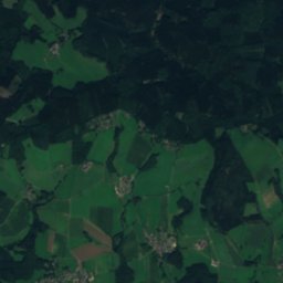
32 km NE

Reh-Berg

646 m
Reh-Berg
Satellite: Sentinel-2 cloudless 2016 by EOX IT Services GmbH · CC BY 4.0 · Contains modified Copernicus Sentinel data 2016
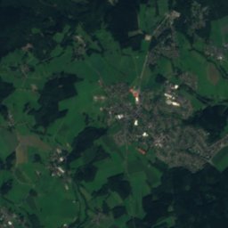
31 km NE

Waldberg

638 m · Ebbe Mountains
Waldberg

Heritage

Horpestraße 4
Photo: Duschan1944 · CC BY-SA 4.0 · Wikimedia CommonsReport this photo · linked, not stored
0.6 km W

Horpestraße 4

architectural heritage monument in North Rhine-Westphalia
Horpestraße 4
Haus Ley
Photo: Frank Vincentz · CC BY-SA 3.0 · Wikimedia CommonsReport this photo · linked, not stored
2.0 km E

Haus Ley

architectural heritage monument in North Rhine-Westphalia
Haus Ley
Elektrizitätswerk Grünscheid
Photo: Schnabeltassentier · CC BY-SA 4.0 · Wikimedia CommonsReport this photo · linked, not stored
2.8 km W

Elektrizitätswerk Grünscheid

architectural heritage monument in North Rhine-Westphalia
Elektrizitätswerk Grünscheid

Museums

Satellite: Sentinel-2 cloudless 2016 by EOX IT Services GmbH · CC BY 4.0 · Contains modified Copernicus Sentinel data 2016
0.6 km SW

Kraftwerk Ermen & Engels

Kraftwerk Ermen & Engels
Satellite: Sentinel-2 cloudless 2016 by EOX IT Services GmbH · CC BY 4.0 · Contains modified Copernicus Sentinel data 2016
0.6 km SW

German angel museum

German angel museum
Dieringhausen Railway Museum
Photo: Busbahnhof · CC BY-SA 3.0 · Wikimedia CommonsReport this photo · linked, not stored
8.4 km E

Dieringhausen Railway Museum

Railway museum · 1982
Dieringhausen Railway Museum