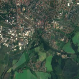
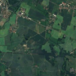
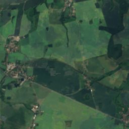
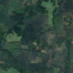
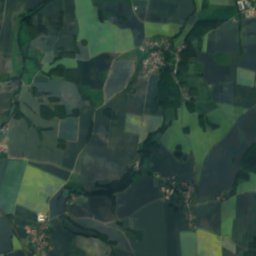
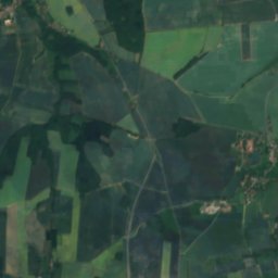
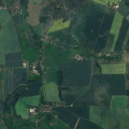
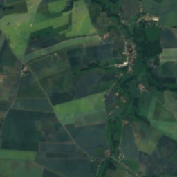
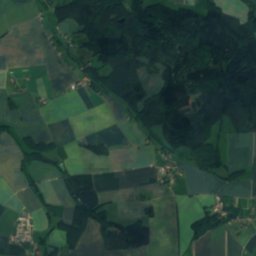
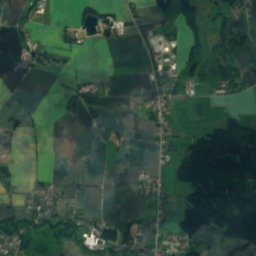
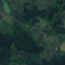
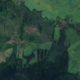
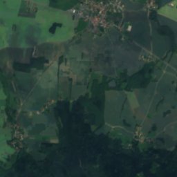
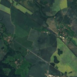
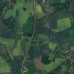
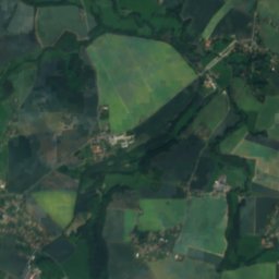
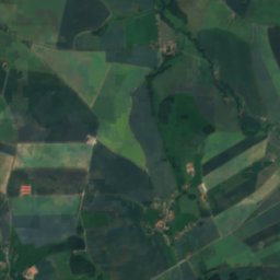
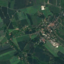
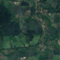
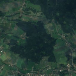
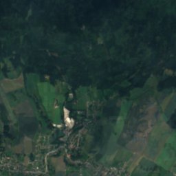
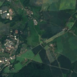
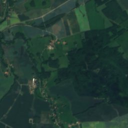
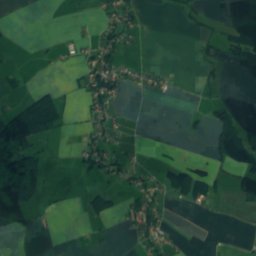
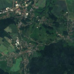
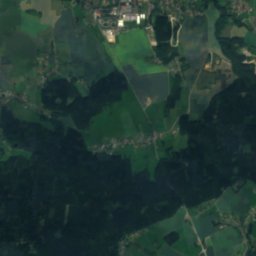
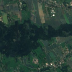
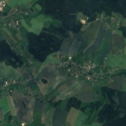
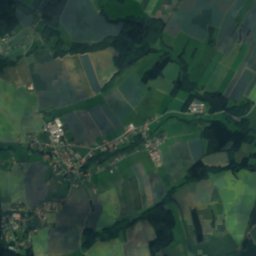
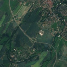
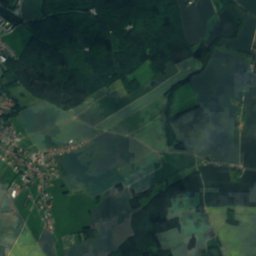
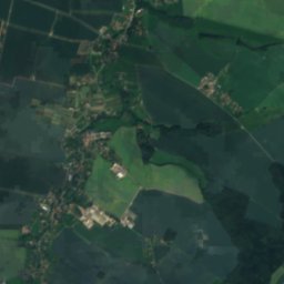
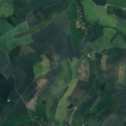
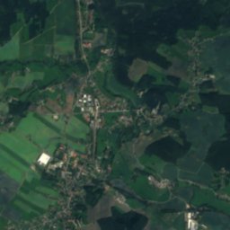
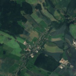
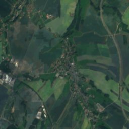
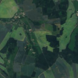
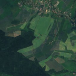
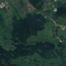
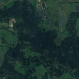
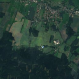
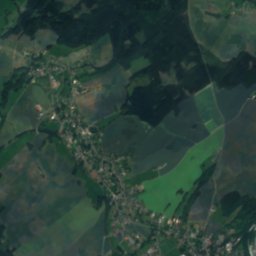
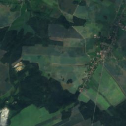
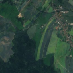
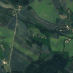
Satellite: Sentinel-2 cloudless 2016 by EOX IT Services GmbH · CC BY 4.0 · Contains modified Copernicus Sentinel data 2016

Photo: Mike Krüger · CC BY 2.5 · Wikimedia Commons
Großschweidnitzer WasserReport this photo · linked, not stored
Großschweidnitzer WasserGroßschweidnitzer WasserReport this photo · linked, not stored

Photo: Julianmuhle · CC BY-SA 4.0 · Wikimedia Commons
Cunnersdorfer WasserReport this photo · linked, not stored
Cunnersdorfer WasserCunnersdorfer WasserReport this photo · linked, not stored

Photo: © Túrelio (via Wikimedia-Commons), 2006 · CC BY-SA 2.5 · Wikimedia Commons
SpreeReport this photo · linked, not stored
SpreeSpreeReport this photo · linked, not stored

Photo: Moritz Wickendorf · CC BY 4.0 · Wikimedia Commons
Ruppersdorfer WasserReport this photo · linked, not stored
Ruppersdorfer WasserRuppersdorfer WasserReport this photo · linked, not stored
RiverGroßschweidnitz, Saxony
Litte
RiverBest May · Aug–Sep
Elevation–above sea level
Length9.0 kmsource to mouth
Nearest townGroßschweidnitz0.2 km
51.07° N, 14.64° EUTC+1 · Central European Standard Time
When to goGroßschweidnitz · weather score
Best timeMay · Aug–Sep
October: high / low13° / 5°
River
Litte in brief
Litte is a river in Großschweidnitz, Saxony, Germany.
The nearest town is Großschweidnitz, 0.2 km to the S, where the weather is best in May, August and September.
Litte is 9.0 km long.
Weather nearby now
Forecast for Großschweidnitz6°
Rain now
Today
25 Oct
9°
3°
10 mm
Mon
26 Oct
11°
5°
Tue
27 Oct
13°
4°
Wed
28 Oct
11°
5°
1 mm
Thu
29 Oct
12°
3°
Model run 12:00 UTCRefreshed several times a day
When to go
Climate of GroßschweidnitzThe best months around Litte
Month score in Großschweidnitz
Comfort, dry days and sunshine · out of 10018
Jan
25
Feb
23
Mar
57
Apr
67
May
65
Jun
64
Jul
69
Aug
71
Sep
45
Oct
23
Nov
18
Dec
Map
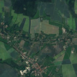
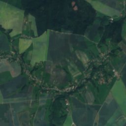
Litte from above
Nature nearbyAll of Germany


Satellite: Sentinel-2 cloudless 2016 by EOX IT Services GmbH · CC BY 4.0 · Contains modified Copernicus Sentinel data 2016

Photo: © Túrelio (via Wikimedia-Commons), 2006 · CC BY-SA 2.5 · Wikimedia CommonsReport this photo · linked, not stored

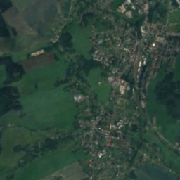
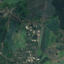
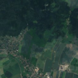
Satellite: Sentinel-2 cloudless 2016 by EOX IT Services GmbH · CC BY 4.0 · Contains modified Copernicus Sentinel data 2016
Summits nearbyMountains of Germany

Photo: Ralf Gruner (user RGR) · Public domain · Wikimedia CommonsReport this photo · linked, not stored
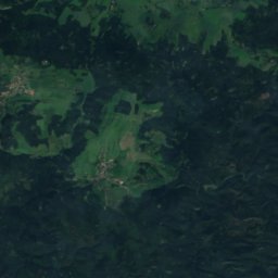
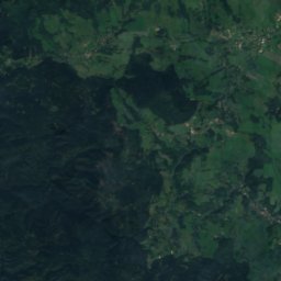
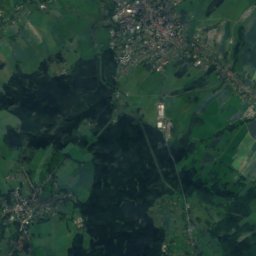
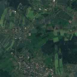
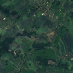
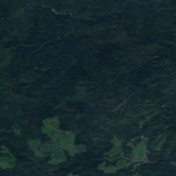
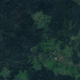
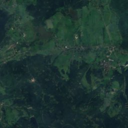
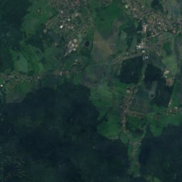
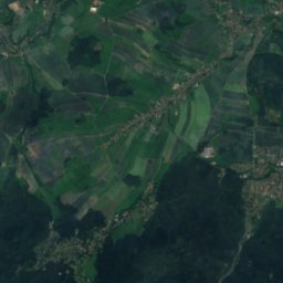
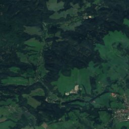
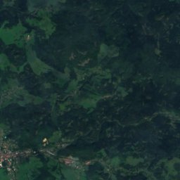
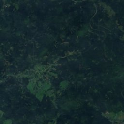
Satellite: Sentinel-2 cloudless 2016 by EOX IT Services GmbH · CC BY 4.0 · Contains modified Copernicus Sentinel data 2016


Stay nearby
Towns close by
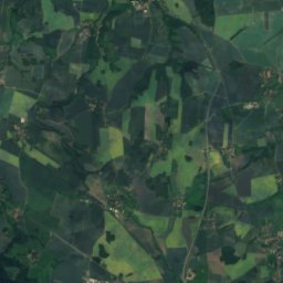
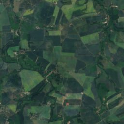
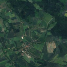
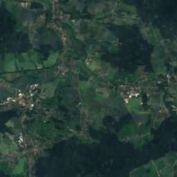
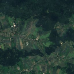
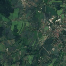
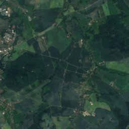
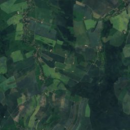
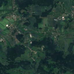
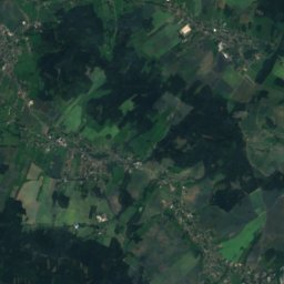
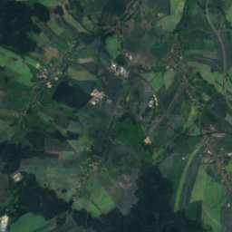
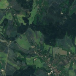
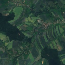
Satellite: Sentinel-2 cloudless 2016 by EOX IT Services GmbH · CC BY 4.0 · Contains modified Copernicus Sentinel data 2016
Großschweidnitz
Saxony · 0.2 km S
13°Oct high
10wet days
45score


Around here
Großschweidnitz and around
Satellite: Sentinel-2 cloudless 2016 by EOX IT Services GmbH · CC BY 4.0 · Contains modified Copernicus Sentinel data 2016
Großschweidnitz
Saxony · Germany
May · Aug–Sepbest months
24°July high
279 maltitude
Nature
Photo: © Túrelio (via Wikimedia-Commons), 2006 · CC BY-SA 2.5 · Wikimedia CommonsReport this photo · linked, not stored
Spree
River
Mountains

Photo: Ralf Gruner (user RGR) · Public domain · Wikimedia CommonsReport this photo · linked, not stored
Lausche
792 m · Zittau Mountains
Satellite: Sentinel-2 cloudless 2016 by EOX IT Services GmbH · CC BY 4.0 · Contains modified Copernicus Sentinel data 2016
Pěnkavči vrch
792 m · Lusatian Mountains

Heritage

church and cemetery NIedercunnersdorf
heritage monument in Saxony · 1793


Satellite: Sentinel-2 cloudless 2016 by EOX IT Services GmbH · CC BY 4.0 · Contains modified Copernicus Sentinel data 2016
Viadukt Höllengrund
heritage monument in Saxony · 1848


