Skip to content
Destinations
Weather & climate
Nature
Outdoors
Culture
Events
Sky & live
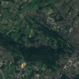
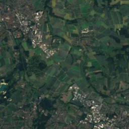
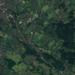
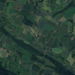
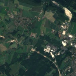
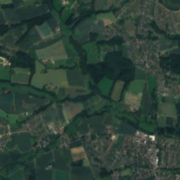
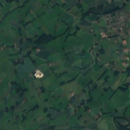
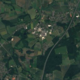
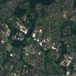
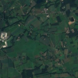
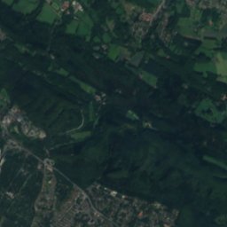
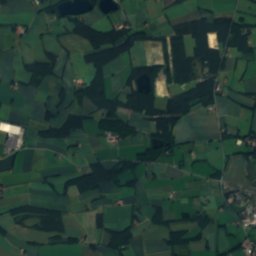
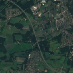
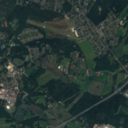
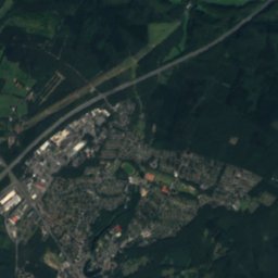
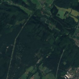
Satellite: Sentinel-2 cloudless 2016 by EOX IT Services GmbH · CC BY 4.0 · Contains modified Copernicus Sentinel data 2016
Lutter (Ems)
Photo: Zefram · CC BY 2.5 · Wikimedia Commons
Lutter (Ems)Report this photo · linked, not stored
Lutter (Ems)
Aa (Werre)
Photo: Ingo Kirschnereit · CC BY 3.0 · Wikimedia Commons
Aa (Werre)Report this photo · linked, not stored
Aa (Werre)
Grippenbach
Photo: Bielibob · CC BY-SA 3.0 · Wikimedia Commons
GrippenbachReport this photo · linked, not stored
Grippenbach
Sunderbach (Trüggelbach)
Photo: Bielibob · CC BY-SA 3.0 · Wikimedia Commons
Sunderbach (Trüggelbach)Report this photo · linked, not stored
Sunderbach (Trüggelbach)
RiverSteinhagen, North Rhine-Westphalia

Lichtebach

RiverBest May–Jun · Sep
Elevation–above sea level
Length19 kmsource to mouth
Nearest townSteinhagen5.0 km
52.00° N, 8.47° EUTC+1 · Central European Standard Time
When to goSteinhagen · weather score
JanFebMarAprMayJunJulAugSepOctNovDec44October
Best timeMay–Jun · Sep
October: high / low14° / 7°
River

Lichtebach in brief

Lichtebach is a river in Steinhagen, North Rhine-Westphalia, Germany.

The nearest town is Steinhagen, 5.0 km to the W, where the weather is best in May, June and September.

Lichtebach is 19 km long.

Steinhagen: weather and travel guide

Weather nearby now

Forecast for Steinhagen
12°
Cloudy now
Wind20 km/h
Humidity69%
Cloud cover100%
Today
26 Oct
13°
7°
Tue
27 Oct
17°
10°
1 mm
Wed
28 Oct
13°
7°
Thu
29 Oct
13°
7°
Fri
30 Oct
12°
6°

Model run 12:00 UTCRefreshed several times a day

When to go

The best months around Lichtebach

Climate of Steinhagen

Month score in Steinhagen

Comfort, dry days and sunshine · out of 100
14
Jan
22
Feb
23
Mar
54
Apr
68
May
65
Jun
64
Jul
64
Aug
69
Sep
44
Oct
17
Nov
13
Dec
Map

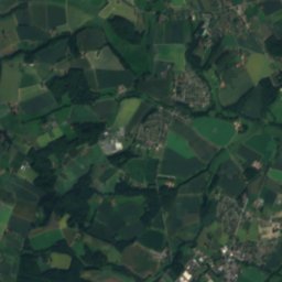
Lichtebach from above

Nature nearbyAll of Germany
Photo: Zefram · CC BY 2.5 · Wikimedia CommonsReport this photo · linked, not stored
Lutter (Ems)River1.7 kmELutter (Ems)
Photo: Ingo Kirschnereit · CC BY 3.0 · Wikimedia CommonsReport this photo · linked, not stored
Aa (Werre)River2.6 kmNEAa (Werre)
Photo: Bielibob · CC BY-SA 3.0 · Wikimedia CommonsReport this photo · linked, not stored
GrippenbachRiver3.8 kmSGrippenbach
Photo: Bielibob · CC BY-SA 3.0 · Wikimedia CommonsReport this photo · linked, not stored
Sunderbach (Trüggelbach)River4.0 kmSSunderbach (Trüggelbach)
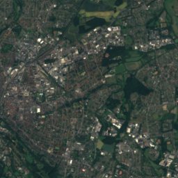
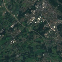
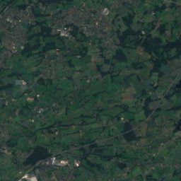
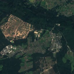
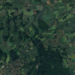
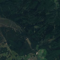
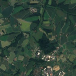
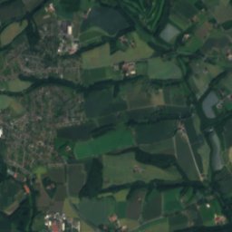
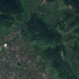
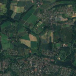
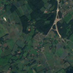
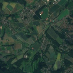
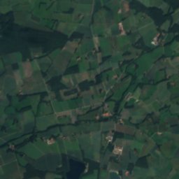
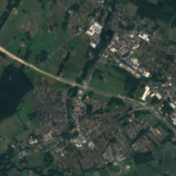
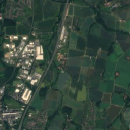
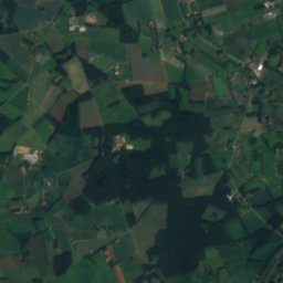
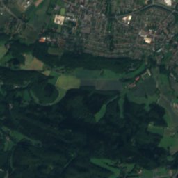
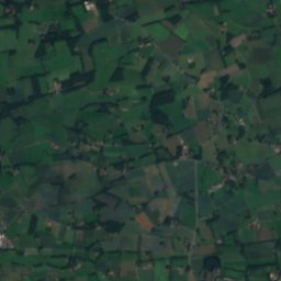
Satellite: Sentinel-2 cloudless 2016 by EOX IT Services GmbH · CC BY 4.0 · Contains modified Copernicus Sentinel data 2016
TüterbachRiver4.0 kmSTüterbach
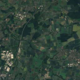
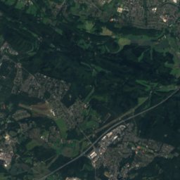
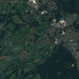
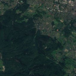
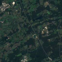
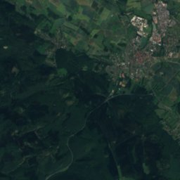
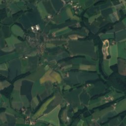
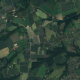
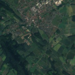
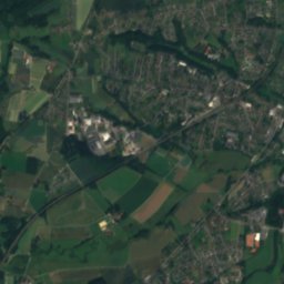
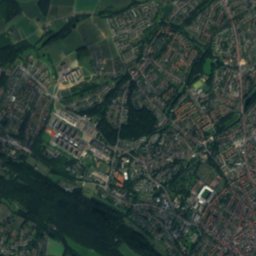
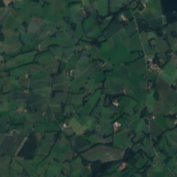
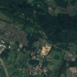
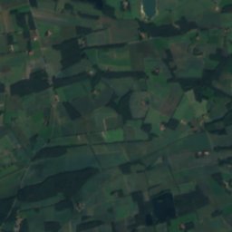
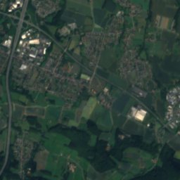
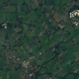
Satellite: Sentinel-2 cloudless 2016 by EOX IT Services GmbH · CC BY 4.0 · Contains modified Copernicus Sentinel data 2016
TrüggelbachRiver4.0 kmSETrüggelbach
Summits nearbyMountains of Germany
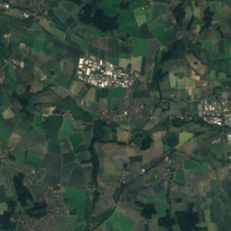
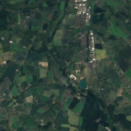
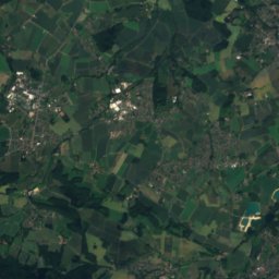
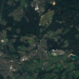
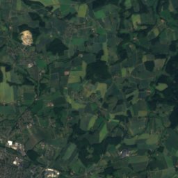
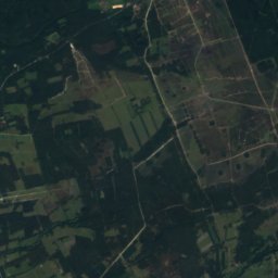
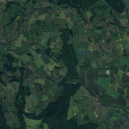
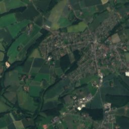
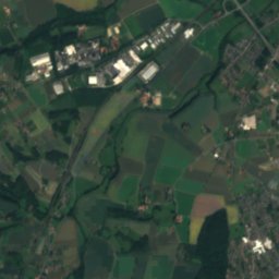
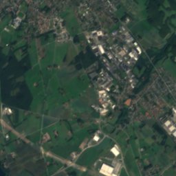
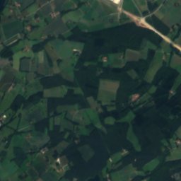
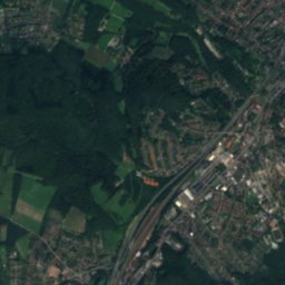
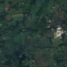
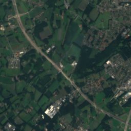
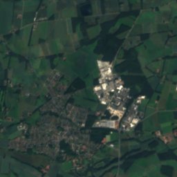
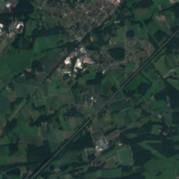
Satellite: Sentinel-2 cloudless 2016 by EOX IT Services GmbH · CC BY 4.0 · Contains modified Copernicus Sentinel data 2016
Stapelager Berg19 km SE365 mJuly 23°Stapelager Berg
Photo: J. Braukmann Milseburg · CC BY-SA 3.0 · Wikimedia CommonsReport this photo · linked, not stored
Hermannsberg20 km SE364 mJuly 23°Hermannsberg
Photo: Benutzer:Tola69 · CC BY-SA 2.0 de · Wikimedia CommonsReport this photo · linked, not stored
Großer Ehberg23 km SE340 mJuly 23°Großer Ehberg
Photo: Nikater · CC BY-SA 4.0 · Wikimedia CommonsReport this photo · linked, not stored
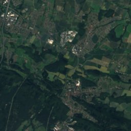
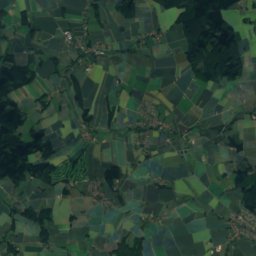
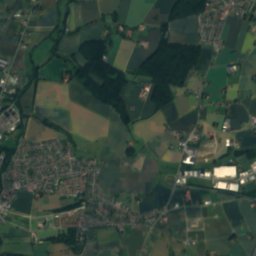
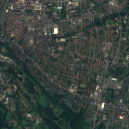
Tönsberg15 km E333 mJuly 23°Tönsberg
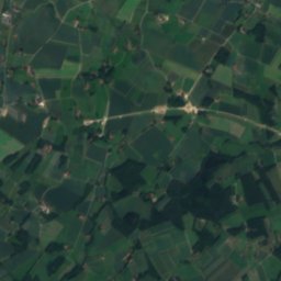
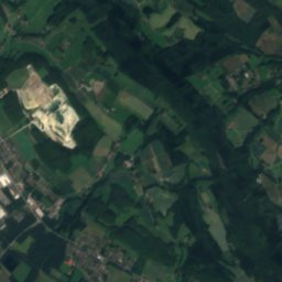
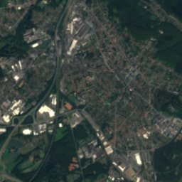
Satellite: Sentinel-2 cloudless 2016 by EOX IT Services GmbH · CC BY 4.0 · Contains modified Copernicus Sentinel data 2016
Hunneckenkammer17 km SE326 mJuly 23°Hunneckenkammer
Photo: Hagar66 · CC BY-SA 3.0 · Wikimedia CommonsReport this photo · linked, not stored
Hengeberg8.2 km NW316 mJuly 23°Hengeberg
Stay nearby

Towns close by

Steinhagen
Photo: Daniel Brockpähler · CC BY-SA 3.0 · Wikimedia CommonsReport this photo · linked, not stored

Steinhagen

North Rhine-Westphalia · 5.0 km W
14°Oct high
12wet days
44score
Steinhagen
Bielefeld
Photo: Zefram · CC BY 2.0 de · Wikimedia CommonsReport this photo · linked, not stored

Bielefeld

North Rhine-Westphalia · 5.2 km NE
14°Oct high
12wet days
43score
Bielefeld
Werther
Photo: Oxyntes at German Wikipedia · CC BY-SA 2.0 de · Wikimedia CommonsReport this photo · linked, not stored

Werther

North Rhine-Westphalia · 9.0 km NW
14°Oct high
12wet days
43score
Werther
Halle
Photo: User:Drahreg01 · CC BY-SA 3.0 · Wikimedia CommonsReport this photo · linked, not stored

Halle

North Rhine-Westphalia · 9.9 km NW
14°Oct high
12wet days
42score
Halle
Around here

Steinhagen and around

Steinhagen
Photo: Daniel Brockpähler · CC BY-SA 3.0 · Wikimedia CommonsReport this photo · linked, not stored

Steinhagen

North Rhine-Westphalia · Germany
May–Jun · Sepbest months
24°July high
96 maltitude
Steinhagen

Nature

Aa (Werre)
Photo: Ingo Kirschnereit · CC BY 3.0 · Wikimedia CommonsReport this photo · linked, not stored
7.0 km E

Aa (Werre)

River · 64 m
Aa (Werre)
Dalke
Photo: Hewa · CC BY 3.0 · Wikimedia CommonsReport this photo · linked, not stored
12 km SW

Dalke

River · 64 m
Dalke
Lutter (Ems)
Photo: Zefram · CC BY 2.5 · Wikimedia CommonsReport this photo · linked, not stored
6.6 km E

Lutter (Ems)

River
Lutter (Ems)

Mountains

Barnacken
Photo: Jörg Braukmann · CC BY-SA 3.0 · Wikimedia CommonsReport this photo · linked, not stored
38 km SE

Barnacken

446 m · Teutoburg Forest
Barnacken
Satellite: Sentinel-2 cloudless 2016 by EOX IT Services GmbH · CC BY 4.0 · Contains modified Copernicus Sentinel data 2016
36 km E

Stemberg

402 m · Teutoburg Forest
Stemberg
Bielstein, North Rhine-Westphalia
Photo: Jörg Braukmann · CC BY-SA 3.0 · Wikimedia CommonsReport this photo · linked, not stored
31 km E

Bielstein, North Rhine-Westphalia

394 m · Teutoburg Forest
Bielstein, North Rhine-Westphalia

Heritage

Evangelische Dorfkirche (Steinhagen)
Photo: Hagar66 · CC BY-SA 3.0 · Wikimedia CommonsReport this photo · linked, not stored
1.1 km NE

Evangelische Dorfkirche (Steinhagen)

architectural heritage monument in North Rhine-Westphalia
Evangelische Dorfkirche (Steinhagen)
Rittergut Patthorst
Photo: Raoul & Carlos · CC BY 3.0 · Wikimedia CommonsReport this photo · linked, not stored
1.6 km NW

Rittergut Patthorst

architectural heritage monument in North Rhine-Westphalia
Rittergut Patthorst
Theater Bielefeld
Photo: Zefram · CC BY 2.0 de · Wikimedia CommonsReport this photo · linked, not stored
9.5 km E

Theater Bielefeld

architectural heritage monument in North Rhine-Westphalia · 1904
Theater Bielefeld

Museums

Satellite: Sentinel-2 cloudless 2016 by EOX IT Services GmbH · CC BY 4.0 · Contains modified Copernicus Sentinel data 2016
1.2 km NE

Historisches Museum Steinhagen e.V.

Historisches Museum Steinhagen e.V.
Gütersloh Town Museum
Photo: Hewa · CC BY 3.0 · Wikimedia CommonsReport this photo · linked, not stored
11 km S

Gütersloh Town Museum

Local museum · 1988
Gütersloh Town Museum
Naturkunde-Museum Bielefeld
Photo: G8w · CC BY-SA 3.0 · Wikimedia CommonsReport this photo · linked, not stored
9.0 km E

Naturkunde-Museum Bielefeld

1906
Naturkunde-Museum Bielefeld