
Photo: Unknown author · CC BY-SA 3.0 · Wikimedia Commons
Leine, ThuringiaReport this photo · linked, not stored
Leine, ThuringiaReport this photo · linked, not stored

Photo: Die Ziegler · CC BY-SA 3.0 · Wikimedia Commons
Talsperre BirkungenReport this photo · linked, not stored
Talsperre BirkungenTalsperre BirkungenReport this photo · linked, not stored
 Ohne

Photo: Michael Sander · CC BY-SA 3.0 · Wikimedia Commons
UnstrutReport this photo · linked, not stored
UnstrutUnstrutReport this photo · linked, not stored
 Geislede
RiverLeinefelde-Worbis, Thuringia
Leine, Thuringia
RiverBest Jul–Sep
Elevation–above sea level
Length281 kmsource to mouth
Nearest townLeinefelde-Worbis0.4 km
51.39° N, 10.32° EUTC+2 · Central European Summer Time
When to goLeinefelde-Worbis · weather score
Best timeJul–Sep
October: high / low13° / 5°
River
Leine, Thuringia in brief
Leine, Thuringia is a river in Leinefelde-Worbis, Thuringia, Germany.
The nearest town is Leinefelde-Worbis, 0.4 km to the E, where the weather is best in July, August and September.
Leine, Thuringia is 281 km long.
Weather nearby now
Forecast for Leinefelde-Worbis7°
Cloudy now
Today
24 Oct
10°
6°
3 mm
Sun
25 Oct
13°
6°
15 mm
Mon
26 Oct
12°
6°
Tue
27 Oct
15°
7°
2 mm
Wed
28 Oct
13°
6°
1 mm
Model run 12:00 UTCRefreshed several times a day
The course of the river
As mapped in OpenStreetMap, with the towns along its banks.- 1Elze93 m
- 2Nordstemmen76 m
- 3Sarstedt65 m
- 4Pattensen67 m
- 5Laatzen71 m
- 6Hemmingen57 m
- 7Hannover57 m
- 8Garbsen49 m
- 9Seelze49 m
- 10Neustadt am Rübenberge42 m
- 11Schwarmstedt30 m
- 12Essel28 m
- 13Gilten25 m
- 14Hademstorf29 m
sourcemouth (or where the mapped line leaves the country)
Map
Leine, Thuringia from above
Nature nearbyAll of Germany


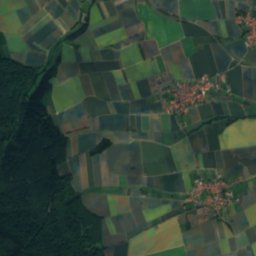
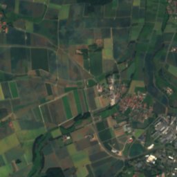
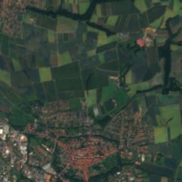
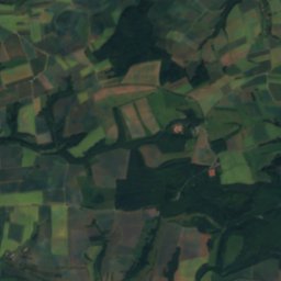
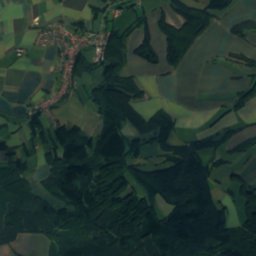
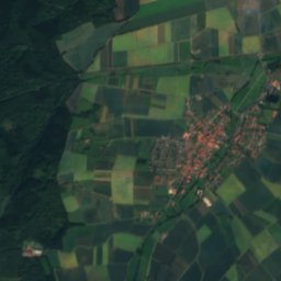
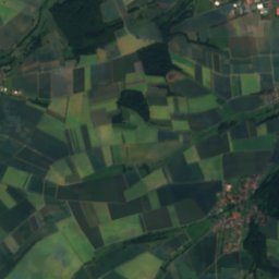
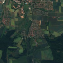
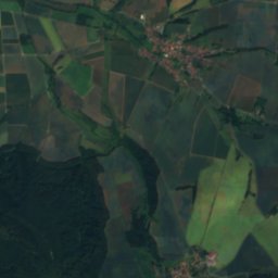
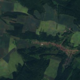
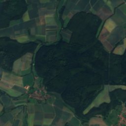
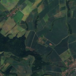
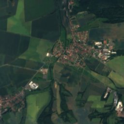
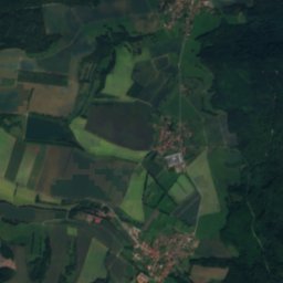
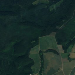
Satellite: Sentinel-2 cloudless 2016 by EOX IT Services GmbH · CC BY 4.0 · Contains modified Copernicus Sentinel data 2016


Summits nearbyMountains of Germany


Stay nearby
Towns close by


Photo: Jan Stubenitzky (Dehio) · CC BY-SA 3.0 · Wikimedia CommonsReport this photo · linked, not stored
Hundeshagen
Thuringia · 5.6 km NW
13°Oct high
12wet days
36score

Around here
Leinefelde-Worbis and around
Nature
Satellite: Sentinel-2 cloudless 2016 by EOX IT Services GmbH · CC BY 4.0 · Contains modified Copernicus Sentinel data 2016
Eichbach (Hahle)
River
Mountains
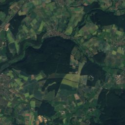
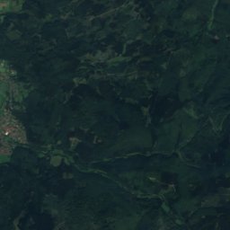
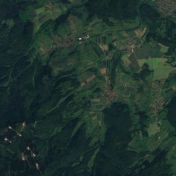
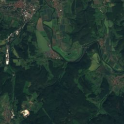
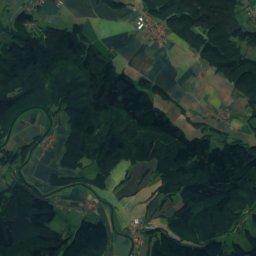
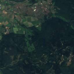
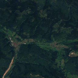
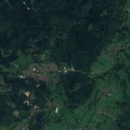
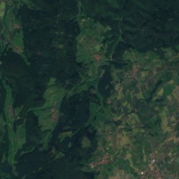
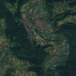
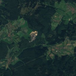
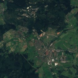
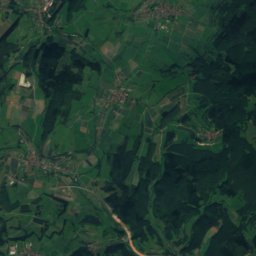
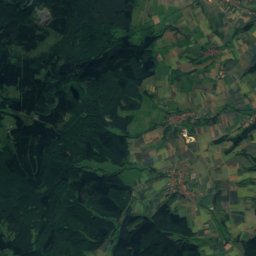
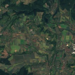
Satellite: Sentinel-2 cloudless 2016 by EOX IT Services GmbH · CC BY 4.0 · Contains modified Copernicus Sentinel data 2016
Kasseler Kuppe
754 m

Photo: © Heinrich Stürzl / Wikimedia Commons · CC BY-SA 4.0 · Wikimedia CommonsReport this photo · linked, not stored
Hoher Meissner
753 m
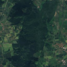
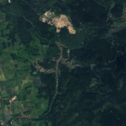
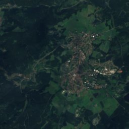
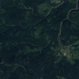
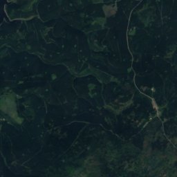
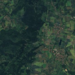
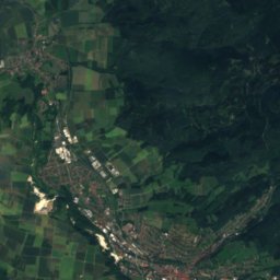
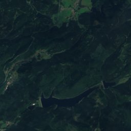
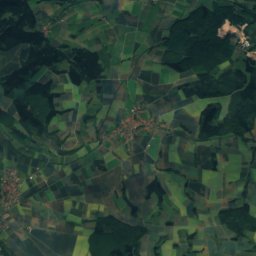
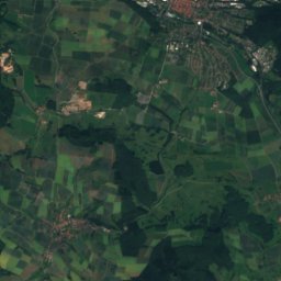
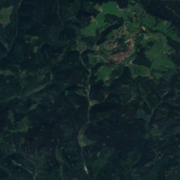
Satellite: Sentinel-2 cloudless 2016 by EOX IT Services GmbH · CC BY 4.0 · Contains modified Copernicus Sentinel data 2016
Haspelkopf
749 m · Harz
Heritage

St. Maria Magdalena (Leinefelde)
Heritage monument in Thuringia

Alte Kirche St. Maria Magdalena
Heritage monument in Thuringia · 1733

Museums




Satellite: Sentinel-2 cloudless 2016 by EOX IT Services GmbH · CC BY 4.0 · Contains modified Copernicus Sentinel data 2016