Skip to content
Destinations
Weather & climate
Nature
Outdoors
Culture
Events
Sky & live
Leibi
Photo: Looniverse · CC BY-SA 4.0 · Wikimedia Commons
LeibiReport this photo · linked, not stored
Roth (Danube)
Photo: Looniverse · CC BY-SA 4.0 · Wikimedia Commons
Roth (Danube)Report this photo · linked, not stored
Roth (Danube)
Biber, Bavaria
Photo: MrHope · CC BY-SA 3.0 · Wikimedia Commons
Biber, BavariaReport this photo · linked, not stored
Biber, Bavaria
Brandstätter See bei Burlafingen
Photo: Looniverse · CC BY-SA 4.0 · Wikimedia Commons
Brandstätter See bei BurlafingenReport this photo · linked, not stored
Brandstätter See bei Burlafingen
Fischersee
Photo: Looniverse · CC BY-SA 4.0 · Wikimedia Commons
FischerseeReport this photo · linked, not stored
Fischersee
RiverNersingen, Bavaria

Leibi

River463 m elevationBest Jul–Sep
Elevation463 mabove sea level
Length22 kmsource to mouth
Nearest townNersingen1.6 km
48.44° N, 10.13° EElevation 463 mUTC+1 · Central European Standard Time
When to goNersingen · weather score
JanFebMarAprMayJunJulAugSepOctNovDec46October
Best timeJul–Sep
October: high / low14° / 5°
River

Leibi in brief

Leibi is a river in Nersingen, Bavaria, Germany.

It lies at 463 m above sea level.

The nearest town is Nersingen, 1.6 km to the S, where the weather is best in July, August and September.

Leibi is 22 km long.

Nersingen: weather and travel guide

Weather nearby now

Forecast for Nersingen
5°
Clear now
Wind6 km/h
Humidity95%
Cloud cover0%
Today
28 Oct
11°
5°
Thu
29 Oct
9°
2°
Fri
30 Oct
10°
1°
Sat
31 Oct
10°
1°
Sun
1 Nov
8°
3°
1 mm

Model run 12:00 UTCRefreshed several times a day

When to go

The best months around Leibi

Climate of Nersingen

Month score in Nersingen

Comfort, dry days and sunshine · out of 100
21
Jan
28
Feb
27
Mar
55
Apr
63
May
65
Jun
66
Jul
66
Aug
72
Sep
46
Oct
26
Nov
20
Dec
Map

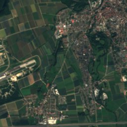
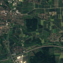
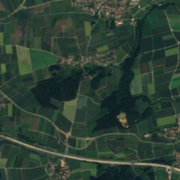
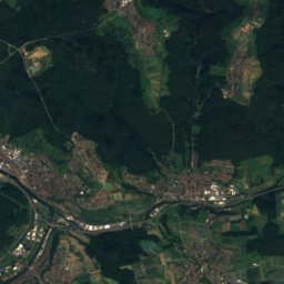
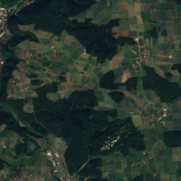
Leibi from above

Nature nearbyAll of Germany
Photo: Looniverse · CC BY-SA 4.0 · Wikimedia CommonsReport this photo · linked, not stored
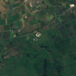
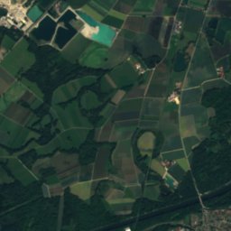
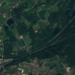
Roth (Danube)River1.8 kmERoth (Danube)
Photo: MrHope · CC BY-SA 3.0 · Wikimedia CommonsReport this photo · linked, not stored
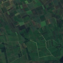
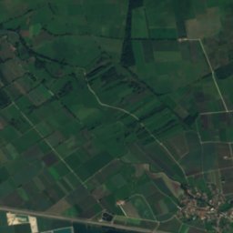
Biber, BavariaRiver3.8 kmEBiber, Bavaria
Photo: Looniverse · CC BY-SA 4.0 · Wikimedia CommonsReport this photo · linked, not stored
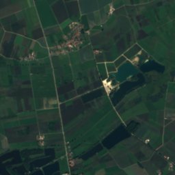
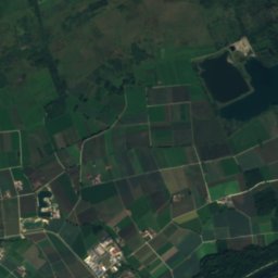
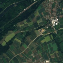
Brandstätter See bei BurlafingenLake4.8 kmSWBrandstätter See bei Burlafingen
Photo: Looniverse · CC BY-SA 4.0 · Wikimedia CommonsReport this photo · linked, not stored
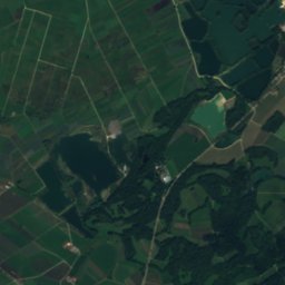
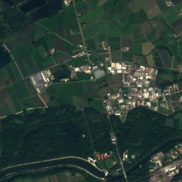
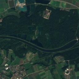
FischerseeLake5.7 kmSWFischersee
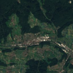
Satellite: Sentinel-2 cloudless 2016 by EOX IT Services GmbH · CC BY 4.0 · Contains modified Copernicus Sentinel data 2016
Bubesheimer BachRiver10 kmEBubesheimer Bach
Photo: Richard Mayer · CC BY-SA 3.0 · Wikimedia CommonsReport this photo · linked, not stored
GünzRiver11 kmEGünz
Stay nearby

Towns close by

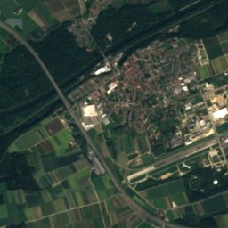
Nersingen
Photo: Dr. Eugen Lehle · CC BY-SA 3.0 · Wikimedia CommonsReport this photo · linked, not stored

Nersingen

Bavaria · 1.6 km S
14°Oct high
11wet days
46score
Nersingen
Langenau
Photo: der_psycho_78 · CC BY 3.0 · Wikimedia CommonsReport this photo · linked, not stored

Langenau

Baden-Wurttemberg · 6.1 km N
14°Oct high
11wet days
45score
Langenau
Leipheim
Photo: Dr. Eugen Lehle · CC BY-SA 3.0 · Wikimedia CommonsReport this photo · linked, not stored

Leipheim

Bavaria · 6.9 km E
14°Oct high
11wet days
46score
Leipheim
Holzheim
Photo: Kereul · CC BY-SA 4.0 · Wikimedia CommonsReport this photo · linked, not stored

Holzheim

Bavaria · 6.9 km S
14°Oct high
11wet days
45score
Holzheim
Around here

Nersingen and around

Nersingen
Photo: Dr. Eugen Lehle · CC BY-SA 3.0 · Wikimedia CommonsReport this photo · linked, not stored

Nersingen

Bavaria · Germany
Jul–Sepbest months
25°July high
462 maltitude
Nersingen

Nature

Günz
Photo: Richard Mayer · CC BY-SA 3.0 · Wikimedia CommonsReport this photo · linked, not stored
12 km E

Günz

River
Günz
Blau
Photo: MikeAtari · CC BY-SA 3.0 · Wikimedia CommonsReport this photo · linked, not stored
10 km W

Blau

River · 472 m
Blau
Biber, Bavaria
Photo: MrHope · CC BY-SA 3.0 · Wikimedia CommonsReport this photo · linked, not stored
4.4 km E

Biber, Bavaria

River · 458 m
Biber, Bavaria

Mountains

Bernhardus
Photo: Kreuzschnabel · CC BY-SA 3.0 · Wikimedia CommonsReport this photo · linked, not stored
40 km NW

Bernhardus

779 m · Swabian Jura
Bernhardus
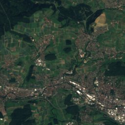
Satellite: Sentinel-2 cloudless 2016 by EOX IT Services GmbH · CC BY 4.0 · Contains modified Copernicus Sentinel data 2016
40 km NW

Fuchseck

761 m · Swabian Jura
Fuchseck
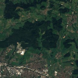
Satellite: Sentinel-2 cloudless 2016 by EOX IT Services GmbH · CC BY 4.0 · Contains modified Copernicus Sentinel data 2016
38 km NW

Wasserberg

751 m · Swabian Jura
Wasserberg

Heritage

St. Dionysius, Nersingen
Photo: Daknipsa · CC BY-SA 3.0 de · Wikimedia CommonsReport this photo · linked, not stored
1.7 km E

St. Dionysius, Nersingen

architectural heritage monument in Bavaria · 1475
St. Dionysius, Nersingen
Katholische Pfarrkirche St. Johann Baptist (Straß)
Photo: Tilman2007 · CC BY-SA 3.0 · Wikimedia CommonsReport this photo · linked, not stored
1.9 km SE

Katholische Pfarrkirche St. Johann Baptist (Straß)

architectural heritage monument in Bavaria
Katholische Pfarrkirche St. Johann Baptist (Straß)
Heilige Dreifaltigkeit, Nersingen
Photo: Looniverse · CC BY-SA 4.0 · Wikimedia CommonsReport this photo · linked, not stored
2.7 km E

Heilige Dreifaltigkeit, Nersingen

architectural heritage monument in Bavaria · 1754
Heilige Dreifaltigkeit, Nersingen

Museums

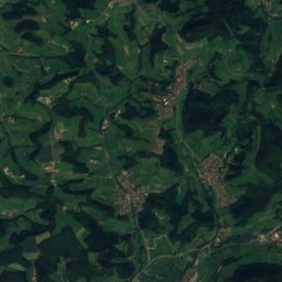
Satellite: Sentinel-2 cloudless 2016 by EOX IT Services GmbH · CC BY 4.0 · Contains modified Copernicus Sentinel data 2016
1.6 km E

Museum für bildende Kunst im Landkreis Neu-Ulm

Art museum · 1999
Museum für bildende Kunst im Landkreis Neu-Ulm
Museum Ulm
Photo: Thilo Parg · CC BY-SA 4.0 · Wikimedia CommonsReport this photo · linked, not stored
10 km W

Museum Ulm

1924
Museum Ulm
The Walther Collection
Photo: TWC526W26 · CC BY-SA 3.0 · Wikimedia CommonsReport this photo · linked, not stored
4.6 km W

The Walther Collection

Art museum · 2010
The Walther Collection