Skip to content
Destinations
Weather & climate
Nature
Outdoors
Culture
Events
Sky & live
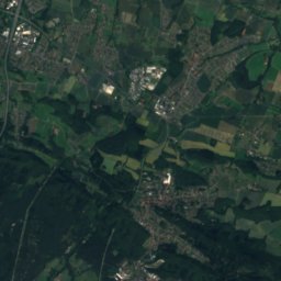
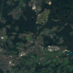
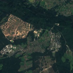
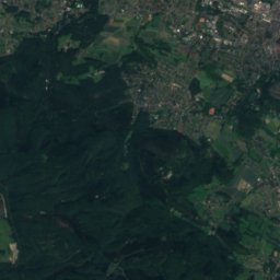
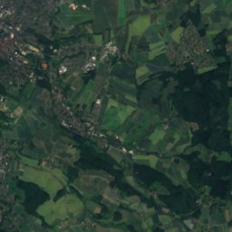
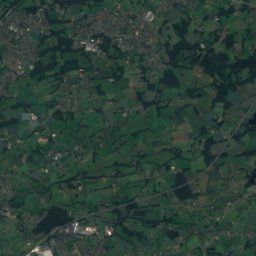
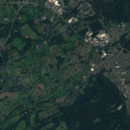
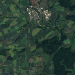
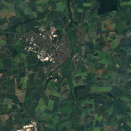
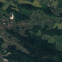
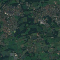
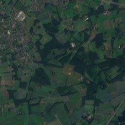
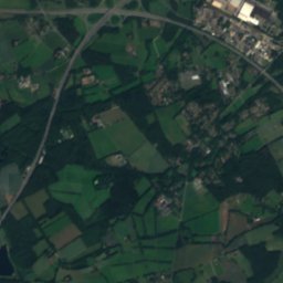
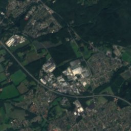
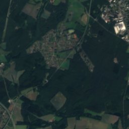
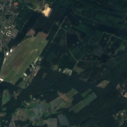
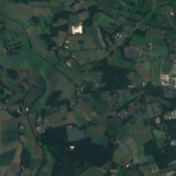
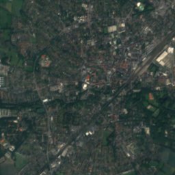
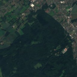
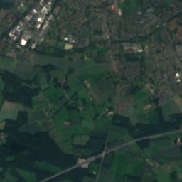
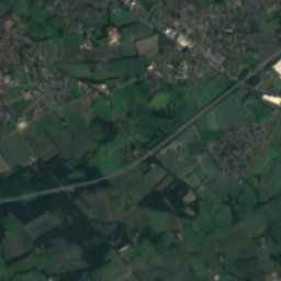
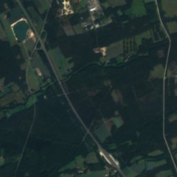
Satellite: Sentinel-2 cloudless 2016 by EOX IT Services GmbH · CC BY 4.0 · Contains modified Copernicus Sentinel data 2016
Verler See
Photo: C-we · CC BY-SA 3.0 · Wikimedia Commons
Verler SeeReport this photo · linked, not stored
Verler See
Bielstein, North Rhine-Westphalia
Photo: Jörg Braukmann · CC BY-SA 3.0 · Wikimedia Commons
Bielstein, North Rhine-WestphaliaReport this photo · linked, not stored
Bielstein, North Rhine-Westphalia
Grotenburg
Photo: Tola69 · CC BY-SA 3.0 · Wikimedia Commons
GrotenburgReport this photo · linked, not stored
Grotenburg
Hermannsberg
Photo: J. Braukmann Milseburg · CC BY-SA 3.0 · Wikimedia Commons
HermannsbergReport this photo · linked, not stored
Hermannsberg
RiverVerl, North Rhine-Westphalia

Landerbach

River128 m elevationBest May–Jun · Sep
Elevation128 mabove sea level
Length11 kmsource to mouth
Nearest townVerl0.7 km
51.89° N, 8.52° EElevation 128 mUTC+1 · Central European Standard Time
When to goVerl · weather score
JanFebMarAprMayJunJulAugSepOctNovDec44October
Best timeMay–Jun · Sep
October: high / low14° / 7°
River

Landerbach in brief

Landerbach is a river in Verl, North Rhine-Westphalia, Germany.

It lies at 128 m above sea level.

The nearest town is Verl, 0.7 km to the SW, where the weather is best in May, June and September.

Landerbach is 11 km long.

Verl: weather and travel guide

Weather nearby now

Forecast for Verl
11°
Sunny now
Wind22 km/h
Humidity85%
Cloud cover19%
Today
25 Oct
13°
7°
15 mm
Mon
26 Oct
13°
7°
Tue
27 Oct
17°
11°
Wed
28 Oct
13°
7°
1 mm
Thu
29 Oct
13°
7°

Model run 00:00 UTCRefreshed several times a day

When to go

The best months around Landerbach

Climate of Verl

Month score in Verl

Comfort, dry days and sunshine · out of 100
Map

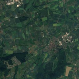
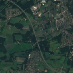
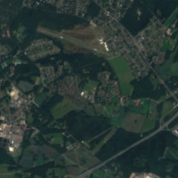
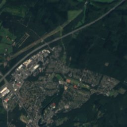
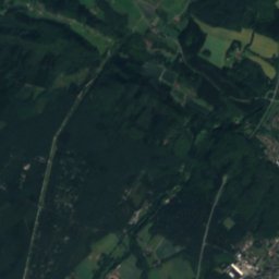
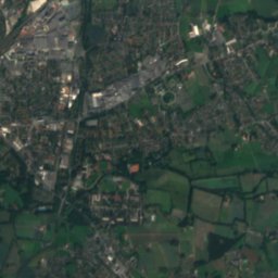
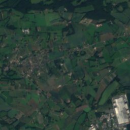
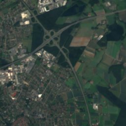
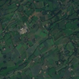
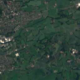
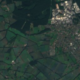
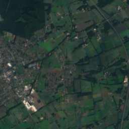
Landerbach from above

Nature nearbyAll of Germany
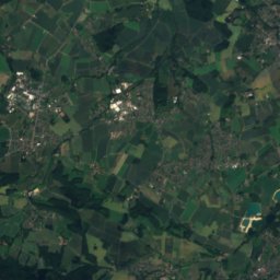
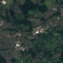
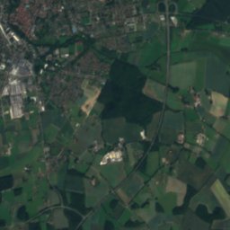
Satellite: Sentinel-2 cloudless 2016 by EOX IT Services GmbH · CC BY 4.0 · Contains modified Copernicus Sentinel data 2016
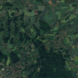
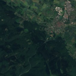
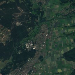
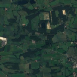
KnisterbachRiver2.2 kmWKnisterbach
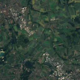
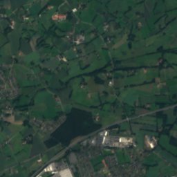
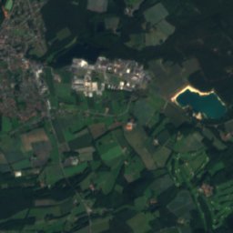
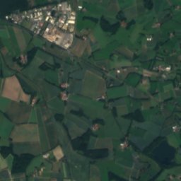
Satellite: Sentinel-2 cloudless 2016 by EOX IT Services GmbH · CC BY 4.0 · Contains modified Copernicus Sentinel data 2016
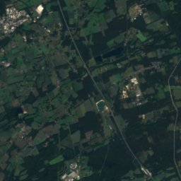
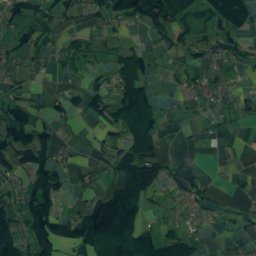
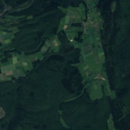
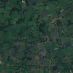
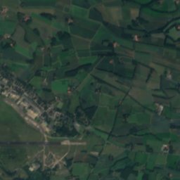
Großer BastergrabenRiver2.4 kmSGroßer Bastergraben
Photo: C-we · CC BY-SA 3.0 · Wikimedia CommonsReport this photo · linked, not stored
Verler SeeLake2.7 kmWVerler See
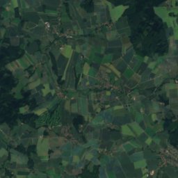
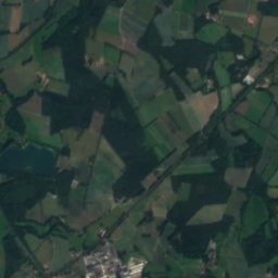
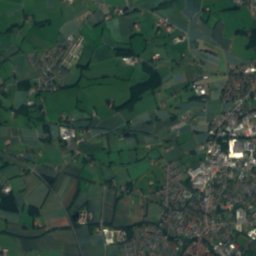
Satellite: Sentinel-2 cloudless 2016 by EOX IT Services GmbH · CC BY 4.0 · Contains modified Copernicus Sentinel data 2016
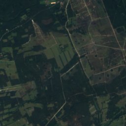
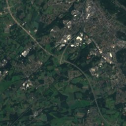
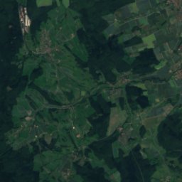
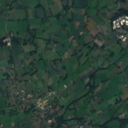
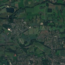
Hasselbach (Dalke)River3.0 kmNWHasselbach (Dalke)
Satellite: Sentinel-2 cloudless 2016 by EOX IT Services GmbH · CC BY 4.0 · Contains modified Copernicus Sentinel data 2016
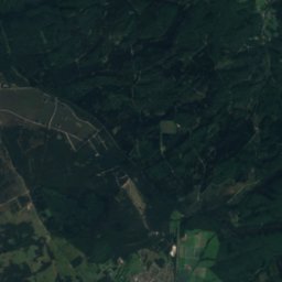
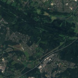
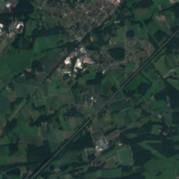
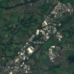
StrothbachRiver3.8 kmNStrothbach
Satellite: Sentinel-2 cloudless 2016 by EOX IT Services GmbH · CC BY 4.0 · Contains modified Copernicus Sentinel data 2016
BekelbachRiver4.5 kmNWBekelbach
Summits nearbyMountains of Germany
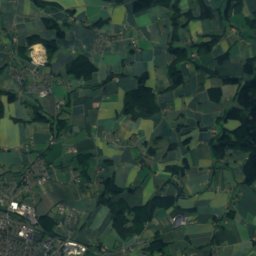
Photo: Jörg Braukmann · CC BY-SA 3.0 · Wikimedia CommonsReport this photo · linked, not stored
Bielstein, North Rhine-Westphalia21 km E394 mJuly 22°Bielstein, North Rhine-Westphalia
Satellite: Sentinel-2 cloudless 2016 by EOX IT Services GmbH · CC BY 4.0 · Contains modified Copernicus Sentinel data 2016
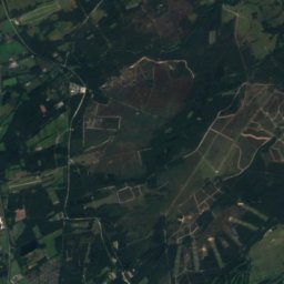
Klöppingsberg21 km E393 mJuly 22°Klöppingsberg
Satellite: Sentinel-2 cloudless 2016 by EOX IT Services GmbH · CC BY 4.0 · Contains modified Copernicus Sentinel data 2016
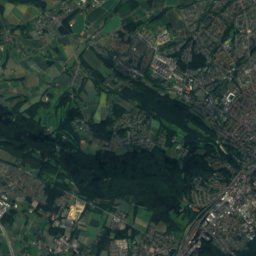
Kortewebelshals22 km E386 mJuly 22°Kortewebelshals
Photo: Tola69 · CC BY-SA 3.0 · Wikimedia CommonsReport this photo · linked, not stored
Grotenburg22 km E386 mJuly 22°Grotenburg
Satellite: Sentinel-2 cloudless 2016 by EOX IT Services GmbH · CC BY 4.0 · Contains modified Copernicus Sentinel data 2016
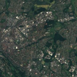
Stapelager Berg15 km E365 mJuly 23°Stapelager Berg
Photo: J. Braukmann Milseburg · CC BY-SA 3.0 · Wikimedia CommonsReport this photo · linked, not stored
Hermannsberg16 km E364 mJuly 23°Hermannsberg
Stay nearby

Towns close by

Verl
Photo: C-we · CC BY-SA 3.0 · Wikimedia CommonsReport this photo · linked, not stored

Verl

North Rhine-Westphalia · 0.7 km SW
14°Oct high
12wet days
44score
Verl
Rietberg
Photo: Michael Schickhoff · CC BY 2.5 · Wikimedia CommonsReport this photo · linked, not stored

Rietberg

North Rhine-Westphalia · 11 km SW
14°Oct high
12wet days
45score
Rietberg
Hövelhof
Photo: ludger1961 · CC BY-SA 3.0 · Wikimedia CommonsReport this photo · linked, not stored

Hövelhof

North Rhine-Westphalia · 12 km SE
14°Oct high
12wet days
44score
Hövelhof
Oerlinghausen
Photo: Nikater · CC BY-SA 3.0 · Wikimedia CommonsReport this photo · linked, not stored

Oerlinghausen

North Rhine-Westphalia · 12 km NE
14°Oct high
12wet days
39score
Oerlinghausen
Around here

Verl and around

Verl
Photo: C-we · CC BY-SA 3.0 · Wikimedia CommonsReport this photo · linked, not stored

Verl

North Rhine-Westphalia · Germany
May–Jun · Sepbest months
24°July high
94 maltitude
Verl

Nature

Sunderbach (Trüggelbach)
Photo: Bielibob · CC BY-SA 3.0 · Wikimedia CommonsReport this photo · linked, not stored
10 km N

Sunderbach (Trüggelbach)

River
Sunderbach (Trüggelbach)
Grippenbach
Photo: Bielibob · CC BY-SA 3.0 · Wikimedia CommonsReport this photo · linked, not stored
10 km N

Grippenbach

River
Grippenbach
Wiedey
Photo: ISO229 · CC BY-SA 4.0 · Wikimedia CommonsReport this photo · linked, not stored
12 km W

Wiedey

River
Wiedey

Mountains

Satellite: Sentinel-2 cloudless 2016 by EOX IT Services GmbH · CC BY 4.0 · Contains modified Copernicus Sentinel data 2016
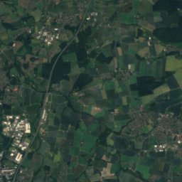
31 km E

Preußische Velmerstot

468 m
Preußische Velmerstot
Velmerstot
Photo: User:Mada · CC BY-SA 2.5 · Wikimedia CommonsReport this photo · linked, not stored
31 km E

Velmerstot

464 m · Eggegebirge
Velmerstot
Barnacken
Photo: Jörg Braukmann · CC BY-SA 3.0 · Wikimedia CommonsReport this photo · linked, not stored
27 km E

Barnacken

446 m · Teutoburg Forest
Barnacken

Heritage

Satellite: Sentinel-2 cloudless 2016 by EOX IT Services GmbH · CC BY 4.0 · Contains modified Copernicus Sentinel data 2016
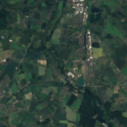
0.6 km W

St. Anna, Verl

architectural heritage monument in North Rhine-Westphalia
St. Anna, Verl
Satellite: Sentinel-2 cloudless 2016 by EOX IT Services GmbH · CC BY 4.0 · Contains modified Copernicus Sentinel data 2016
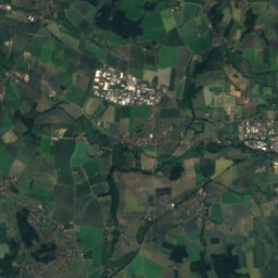
0.7 km W

Dorfmühle, Verl

architectural heritage monument in North Rhine-Westphalia
Dorfmühle, Verl
Sparrenberg Castle
Photo: Carsten Steger · CC BY-SA 4.0 · Wikimedia CommonsReport this photo · linked, not stored
15 km N

Sparrenberg Castle

architectural heritage monument in North Rhine-Westphalia · 1250
Sparrenberg Castle

Museums

Heimathaus Verl
Photo: C-we · CC BY-SA 3.0 · Wikimedia CommonsReport this photo · linked, not stored
0.6 km W

Heimathaus Verl

Local museum · 1986
Heimathaus Verl
Gütersloh Town Museum
Photo: Hewa · CC BY 3.0 · Wikimedia CommonsReport this photo · linked, not stored
9.7 km W

Gütersloh Town Museum

Local museum · 1988
Gütersloh Town Museum
Naturkunde-Museum Bielefeld
Photo: G8w · CC BY-SA 3.0 · Wikimedia CommonsReport this photo · linked, not stored
15 km N

Naturkunde-Museum Bielefeld

1906
Naturkunde-Museum Bielefeld