Skip to content
Destinations
Weather & climate
Nature
Outdoors
Culture
Events
Sky & live
Lamitz
Photo: PeterBraun74 · CC BY-SA 3.0 · Wikimedia Commons
LamitzReport this photo · linked, not stored
Untreusee
Photo: PantheraLeo1359531 · CC BY 4.0 · Wikimedia Commons
UntreuseeReport this photo · linked, not stored
Untreusee
Perlenbach
Photo: Michael · CC BY-SA 3.0 · Wikimedia Commons
PerlenbachReport this photo · linked, not stored
Perlenbach
Schwesnitz
Photo: TPO · CC BY-SA 3.0 · Wikimedia Commons
SchwesnitzReport this photo · linked, not stored
Schwesnitz
Nördliche Regnitz
Photo: TPO · CC BY-SA 3.0 · Wikimedia Commons
Nördliche RegnitzReport this photo · linked, not stored
Nördliche Regnitz
RiverSchwarzenbach an der Saale, Bavaria

Lamitz

RiverBest Jul–Sep
Elevation–above sea level
Length23 kmsource to mouth
Nearest townSchwarzenbach an der Saale2.1 km
50.24° N, 11.94° EUTC+1 · Central European Standard Time
When to goSchwarzenbach an der Saale · weather score
JanFebMarAprMayJunJulAugSepOctNovDec35October
Best timeJul–Sep
October: high / low12° / 4°
River

Lamitz in brief

Lamitz is a river in Schwarzenbach an der Saale, Bavaria, Germany.

The nearest town is Schwarzenbach an der Saale, 2.1 km to the S, where the weather is best in July, August and September.

Lamitz is 23 km long.

Schwarzenbach an der Saale: weather and travel guide

Weather nearby now

Forecast for Schwarzenbach an der Saale
4°
Partly cloudy now
Wind21 km/h
Humidity89%
Cloud cover38%
Today
26 Oct
9°
3°
Tue
27 Oct
14°
3°
Wed
28 Oct
10°
3°
3 mm
Thu
29 Oct
12°
1°
Fri
30 Oct
9°
2°
1 mm

Model run 12:00 UTCRefreshed several times a day

When to go

The best months around Lamitz

Climate of Schwarzenbach an der Saale

Month score in Schwarzenbach an der Saale

Comfort, dry days and sunshine · out of 100
14
Jan
21
Feb
20
Mar
46
Apr
60
May
63
Jun
64
Jul
66
Aug
67
Sep
35
Oct
19
Nov
13
Dec
Map

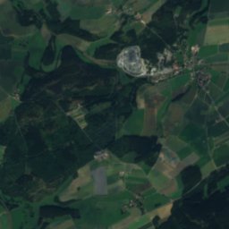
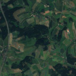
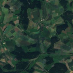
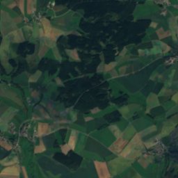
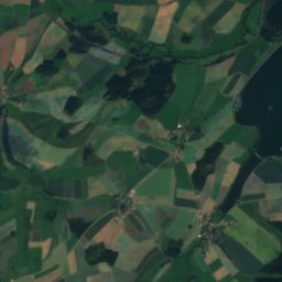
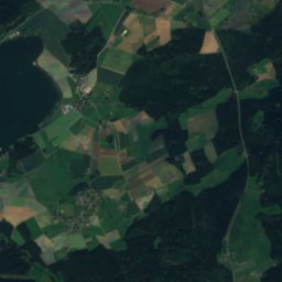
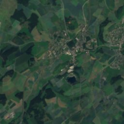
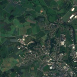
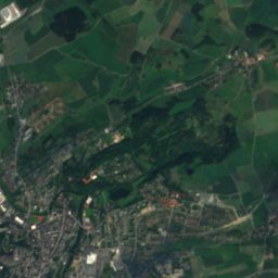
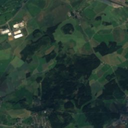
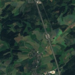
Lamitz from above

Nature nearbyAll of Germany
Photo: PantheraLeo1359531 · CC BY 4.0 · Wikimedia CommonsReport this photo · linked, not stored
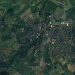
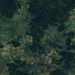
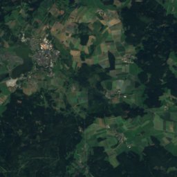
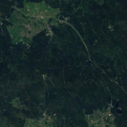
UntreuseeLake4.7 kmNWUntreusee
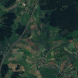
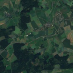
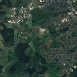
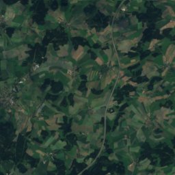
Satellite: Sentinel-2 cloudless 2016 by EOX IT Services GmbH · CC BY 4.0 · Contains modified Copernicus Sentinel data 2016
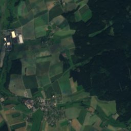
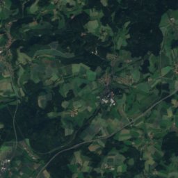
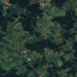
FörmitztalsperreLake5.3 kmSFörmitztalsperre
Photo: Michael · CC BY-SA 3.0 · Wikimedia CommonsReport this photo · linked, not stored
PerlenbachRiver6.9 kmEPerlenbach
Photo: TPO · CC BY-SA 3.0 · Wikimedia CommonsReport this photo · linked, not stored
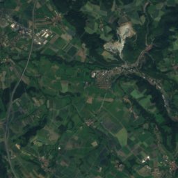
SchwesnitzRiver6.9 kmESchwesnitz
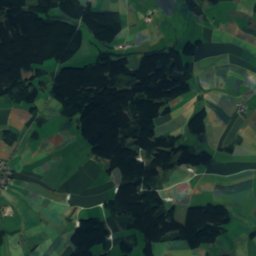
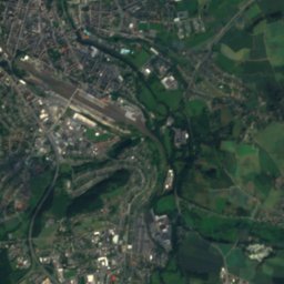
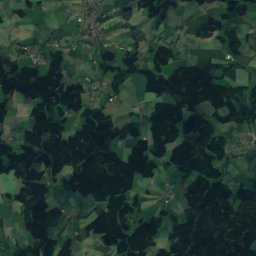
Satellite: Sentinel-2 cloudless 2016 by EOX IT Services GmbH · CC BY 4.0 · Contains modified Copernicus Sentinel data 2016
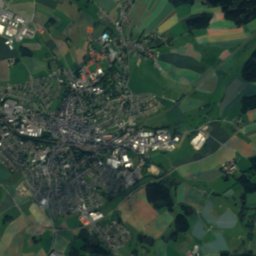
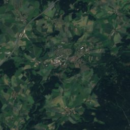
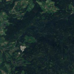
Lake LettenbachLake9.4 kmNLake Lettenbach
Photo: TPO · CC BY-SA 3.0 · Wikimedia CommonsReport this photo · linked, not stored
Nördliche RegnitzRiver11 kmNNördliche Regnitz
Summits nearbyMountains of Germany
Photo: Adrian Michael · CC BY 2.5 · Wikimedia CommonsReport this photo · linked, not stored
Schneeberg (Fichtel Mountains)22 km S1,051 mJuly 19°Schneeberg (Fichtel Mountains)
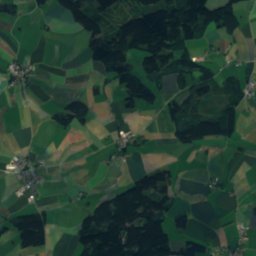
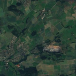
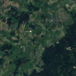
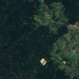
Satellite: Sentinel-2 cloudless 2016 by EOX IT Services GmbH · CC BY 4.0 · Contains modified Copernicus Sentinel data 2016
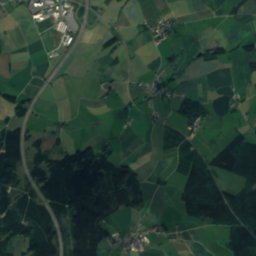
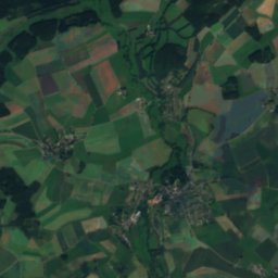
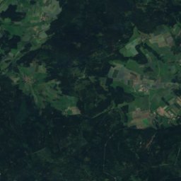
Haberstein23 km S924 mJuly 20°Haberstein
Photo: Srene-4 · CC BY-SA 3.0 · Wikimedia CommonsReport this photo · linked, not stored
Platte (Schneeberg)25 km S885 mJuly 21°Platte (Schneeberg)
Photo: Schubbay · CC BY-SA 3.0 · Wikimedia CommonsReport this photo · linked, not stored
Großer Waldstein14 km SW877 mJuly 21°Großer Waldstein
Photo: Jaypee · CC BY-SA 3.0 · Wikimedia CommonsReport this photo · linked, not stored
Rudolfstein19 km S866 mJuly 21°Rudolfstein
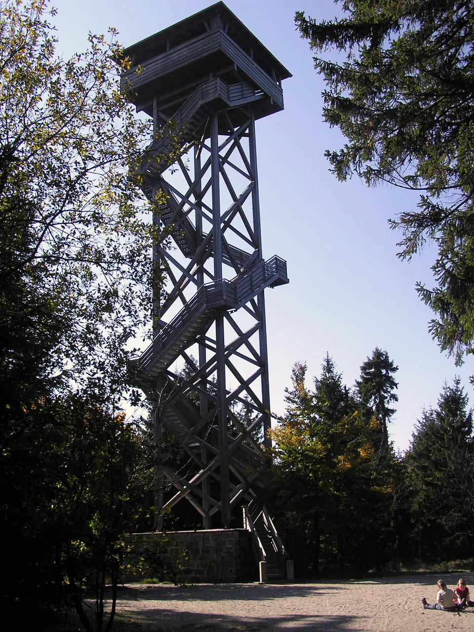
Photo: PeterBraun74 · CC BY-SA 3.0 · Wikimedia CommonsReport this photo · linked, not stored
Bergkopf11 km S857 mJuly 21°Bergkopf
Stay nearby

Towns close by

Schwarzenbach an der Saale
Photo: upload by User:Parpan05 · CC BY-SA 3.0 · Wikimedia CommonsReport this photo · linked, not stored

Schwarzenbach an der Saale

Bavaria · 2.1 km S
12°Oct high
11wet days
35score
Schwarzenbach an der Saale
Oberkotzau
Photo: PeterBraun74 · CC BY-SA 3.0 · Wikimedia CommonsReport this photo · linked, not stored

Oberkotzau

Bavaria · 2.3 km N
12°Oct high
11wet days
36score
Oberkotzau
Döhlau
Photo: PantheraLeo1359531 · CC BY 4.0 · Wikimedia CommonsReport this photo · linked, not stored

Döhlau

Bavaria · 4.8 km N
12°Oct high
11wet days
36score
Döhlau
Konradsreuth
Photo: PeterBraun74 · CC BY-SA 3.0 · Wikimedia CommonsReport this photo · linked, not stored

Konradsreuth

Bavaria · 6.8 km NW
12°Oct high
11wet days
34score
Konradsreuth
Around here

Schwarzenbach an der Saale and around

Schwarzenbach an der Saale
Photo: upload by User:Parpan05 · CC BY-SA 3.0 · Wikimedia CommonsReport this photo · linked, not stored

Schwarzenbach an der Saale

Bavaria · Germany
Jul–Sepbest months
23°July high
498 maltitude
Schwarzenbach an der Saale

Nature

Schwesnitz
Photo: TPO · CC BY-SA 3.0 · Wikimedia CommonsReport this photo · linked, not stored
7.6 km NE

Schwesnitz

River
Schwesnitz
Perlenbach
Photo: Michael · CC BY-SA 3.0 · Wikimedia CommonsReport this photo · linked, not stored
7.6 km NE

Perlenbach

River
Perlenbach
Untreusee
Photo: PantheraLeo1359531 · CC BY 4.0 · Wikimedia CommonsReport this photo · linked, not stored
6.6 km N

Untreusee

Lake · 498 m
Untreusee

Mountains

Schneeberg (Fichtel Mountains)
Photo: Adrian Michael · CC BY 2.5 · Wikimedia CommonsReport this photo · linked, not stored
20 km S

Schneeberg (Fichtel Mountains)

1,051 m · Fichtel Mountains
Schneeberg (Fichtel Mountains)
Ochsenkopf (Fichtel Mountains)
Photo: Adrian Michael · CC BY 2.5 · Wikimedia CommonsReport this photo · linked, not stored
23 km SW

Ochsenkopf (Fichtel Mountains)

1,024 m · Fichtel Mountains
Ochsenkopf (Fichtel Mountains)
Platte (Steinwald)
Photo: Schubbay · CC BY-SA 3.0 · Wikimedia CommonsReport this photo · linked, not stored
36 km S

Platte (Steinwald)

946 m · Steinwald
Platte (Steinwald)

Heritage

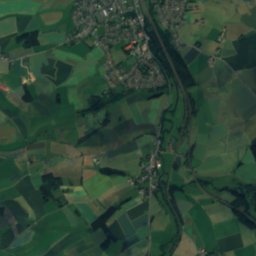
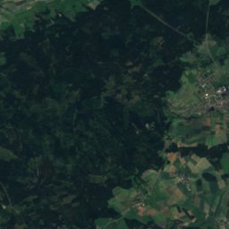
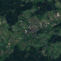
Satellite: Sentinel-2 cloudless 2016 by EOX IT Services GmbH · CC BY 4.0 · Contains modified Copernicus Sentinel data 2016
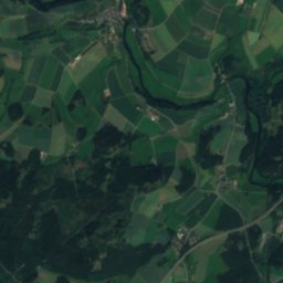
0.2 km NW

St. Gumbertus, Schwarzenbach an der Saale

architectural heritage monument in Bavaria
St. Gumbertus, Schwarzenbach an der Saale
Turmhügel Altes Schloss, Schwarzenbach an der Saale
Photo: PeterBraun74 · CC BY-SA 3.0 · Wikimedia CommonsReport this photo · linked, not stored
1.8 km W

Turmhügel Altes Schloss, Schwarzenbach an der Saale

Kulturdenkmal
Turmhügel Altes Schloss, Schwarzenbach an der Saale
Ehemaliger Eklogitbruch Fattigau
Photo: PeterBraun74 · CC BY-SA 3.0 · Wikimedia CommonsReport this photo · linked, not stored
2.5 km N

Ehemaliger Eklogitbruch Fattigau

natural monument in Germany
Ehemaliger Eklogitbruch Fattigau

Museums

Erika-Fuchs-Haus
Photo: Kreuzschnabel · CC BY-SA 3.0 · Wikimedia CommonsReport this photo · linked, not stored
under 100 m S

Erika-Fuchs-Haus

2015
Erika-Fuchs-Haus
Traktor-Museum am Bahnhof
Photo: PeterBraun74 · CC BY-SA 3.0 · Wikimedia CommonsReport this photo · linked, not stored
0.3 km S

Traktor-Museum am Bahnhof

Traktor-Museum am Bahnhof
Porzellanikon
Photo: Corradox · CC BY-SA 3.0 · Wikimedia CommonsReport this photo · linked, not stored
13 km E

Porzellanikon

Art museum
Porzellanikon