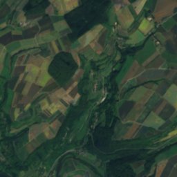
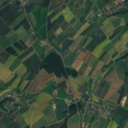
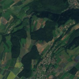
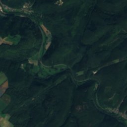
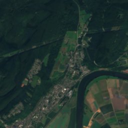
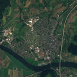
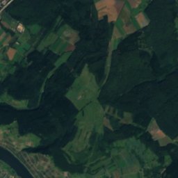
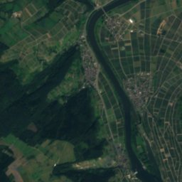
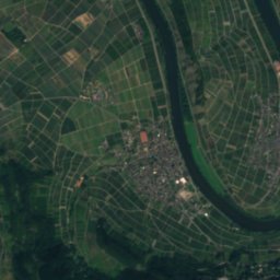
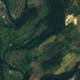
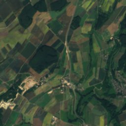
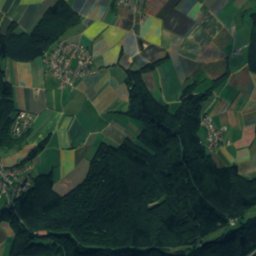
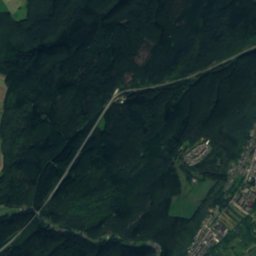
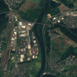
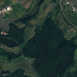
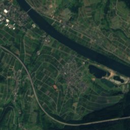
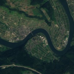
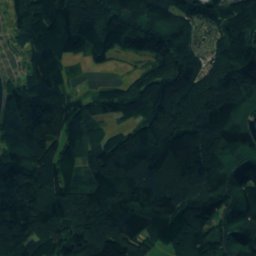
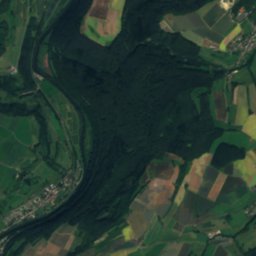
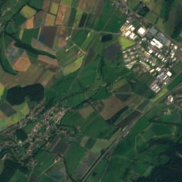
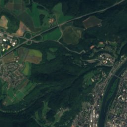
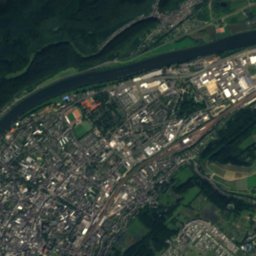
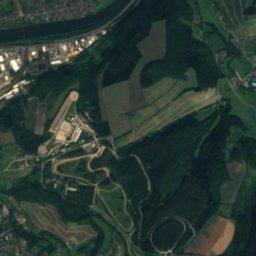
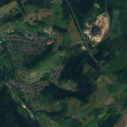
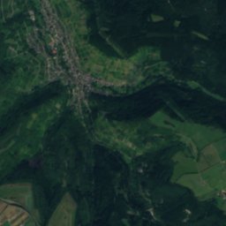
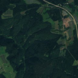
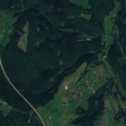
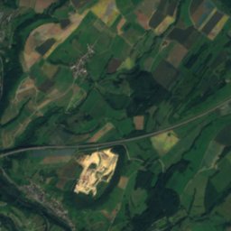
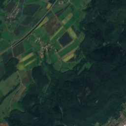
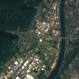
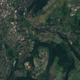
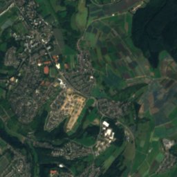
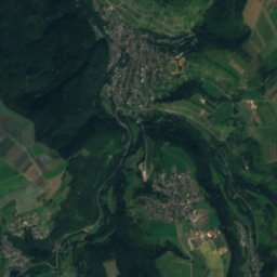
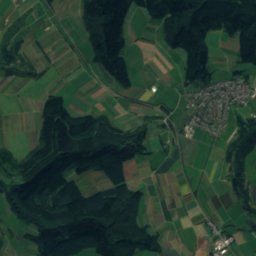
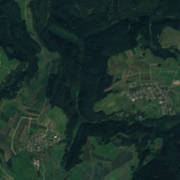
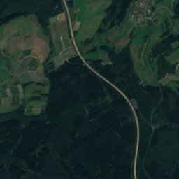
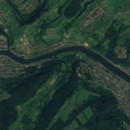
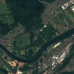
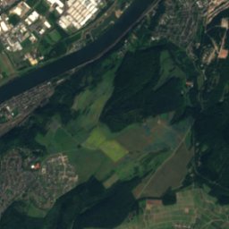
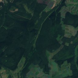
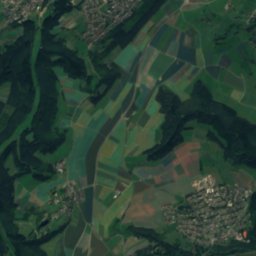
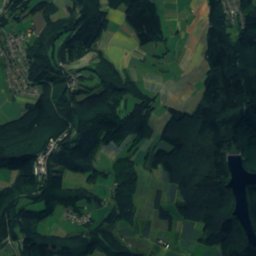
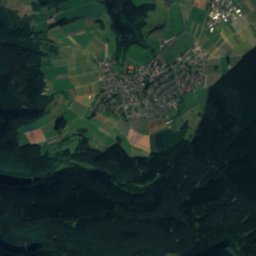
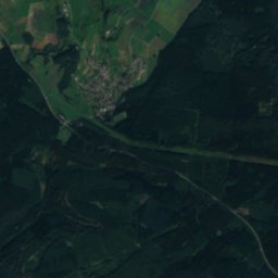
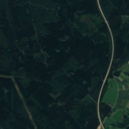
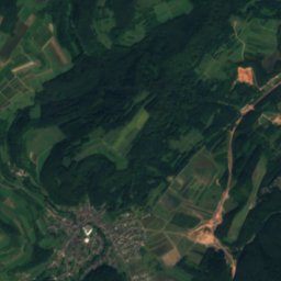
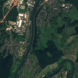
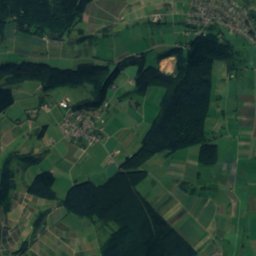
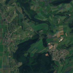
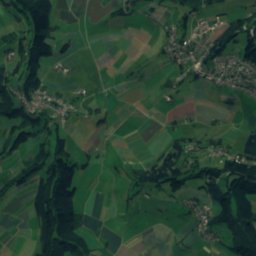
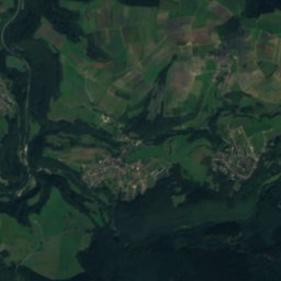
Satellite: Sentinel-2 cloudless 2016 by EOX IT Services GmbH · CC BY 4.0 · Contains modified Copernicus Sentinel data 2016

Photo: Hundsbuckler · CC BY-SA 4.0 · Wikimedia Commons
Waldbach (Ruwer, Gusterath)Report this photo · linked, not stored
Waldbach (Ruwer, Gusterath)Waldbach (Ruwer, Gusterath)Report this photo · linked, not stored

Photo: Koch.trier · CC BY-SA 3.0 · Wikimedia Commons
RiveristalsperreReport this photo · linked, not stored
RiveristalsperreRiveristalsperreReport this photo · linked, not stored

Photo: Hundsbuckler · CC BY-SA 4.0 · Wikimedia Commons
Gusterather WaschbachReport this photo · linked, not stored
Gusterather WaschbachGusterather WaschbachReport this photo · linked, not stored

Photo: Unimog404 · CC BY-SA 3.0 · Wikimedia Commons
RuppelsteinReport this photo · linked, not stored
RuppelsteinRuppelsteinReport this photo · linked, not stored
RiverKorlingen, Rheinland-Pfalz
Labach
RiverBest Jun–Jul · Sep
Elevation–above sea level
Length1.5 kmsource to mouth
Nearest townKorlingen0.7 km
49.73° N, 6.74° EUTC+1 · Central European Standard Time
When to goKorlingen · weather score
Best timeJun–Jul · Sep
October: high / low14° / 6°
River
Labach in brief
Labach is a river in Korlingen, Rheinland-Pfalz, Germany.
The nearest town is Korlingen, 0.7 km to the W, where the weather is best in June, July and September.
Labach is 1.5 km long.
Weather nearby now
Forecast for Korlingen13°
Sunny now
Today
29 Oct
13°
3°
Fri
30 Oct
13°
4°
Sat
31 Oct
12°
3°
Sun
1 Nov
10°
4°
Mon
2 Nov
9°
3°
Model run 00:00 UTCRefreshed several times a day
When to go
Climate of KorlingenThe best months around Labach
Month score in Korlingen
Comfort, dry days and sunshine · out of 10013
Jan
20
Feb
21
Mar
53
Apr
64
May
66
Jun
65
Jul
65
Aug
74
Sep
41
Oct
16
Nov
12
Dec
Map
Labach from above
Nature nearbyAll of Germany
Satellite: Sentinel-2 cloudless 2016 by EOX IT Services GmbH · CC BY 4.0 · Contains modified Copernicus Sentinel data 2016

Satellite: Sentinel-2 cloudless 2016 by EOX IT Services GmbH · CC BY 4.0 · Contains modified Copernicus Sentinel data 2016


Satellite: Sentinel-2 cloudless 2016 by EOX IT Services GmbH · CC BY 4.0 · Contains modified Copernicus Sentinel data 2016
Summits nearbyMountains of Germany


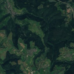
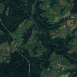
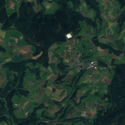
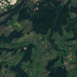
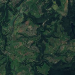
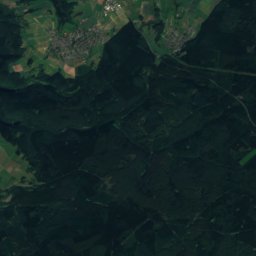
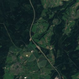
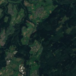
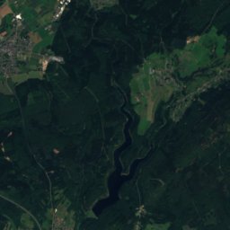
Satellite: Sentinel-2 cloudless 2016 by EOX IT Services GmbH · CC BY 4.0 · Contains modified Copernicus Sentinel data 2016
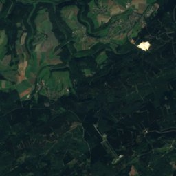
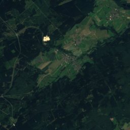
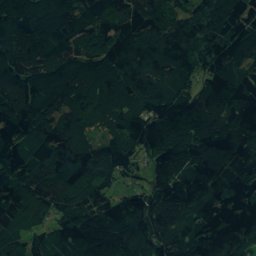
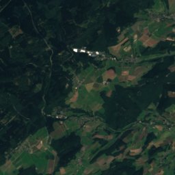
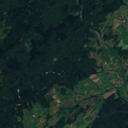
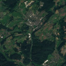
Satellite: Sentinel-2 cloudless 2016 by EOX IT Services GmbH · CC BY 4.0 · Contains modified Copernicus Sentinel data 2016


Stay nearby
Towns close by


Around here
Korlingen and around
Nature

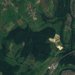
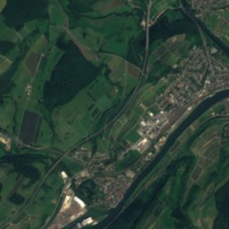
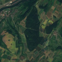
Satellite: Sentinel-2 cloudless 2016 by EOX IT Services GmbH · CC BY 4.0 · Contains modified Copernicus Sentinel data 2016
Saar, Rheinland-Pfalz
River
Mountains

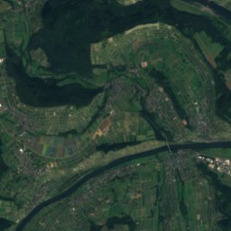
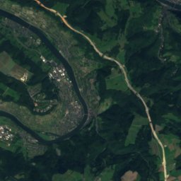
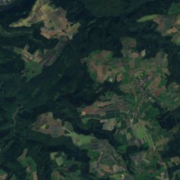
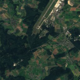
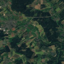
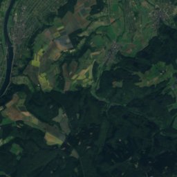
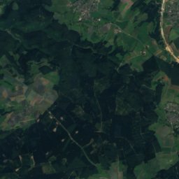
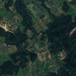
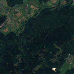
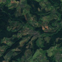
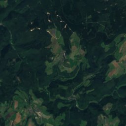
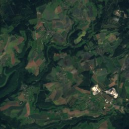
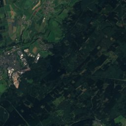
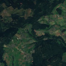
Satellite: Sentinel-2 cloudless 2016 by EOX IT Services GmbH · CC BY 4.0 · Contains modified Copernicus Sentinel data 2016
An den zwei Steinen
766 m · Idar Forest

Heritage

Satellite: Sentinel-2 cloudless 2016 by EOX IT Services GmbH · CC BY 4.0 · Contains modified Copernicus Sentinel data 2016
Burgruine Sommerau
Kulturdenkmal · 1200
Satellite: Sentinel-2 cloudless 2016 by EOX IT Services GmbH · CC BY 4.0 · Contains modified Copernicus Sentinel data 2016
Schloss Marienlay
Kulturdenkmal
Museums
Satellite: Sentinel-2 cloudless 2016 by EOX IT Services GmbH · CC BY 4.0 · Contains modified Copernicus Sentinel data 2016
Archäologische Sammlung der Universität Trier. Abgüsse und Originale mediterraner Kunst
Satellite: Sentinel-2 cloudless 2016 by EOX IT Services GmbH · CC BY 4.0 · Contains modified Copernicus Sentinel data 2016


