Skip to content
Destinations
Weather & climate
Nature
Outdoors
Culture
Events
Sky & live
Krepbach
Photo: Periphrastika · CC0 · Wikimedia Commons
KrepbachReport this photo · linked, not stored
Riessersee
Photo: Riessersee Hotel · CC BY 3.0 · Wikimedia Commons
RiesserseeReport this photo · linked, not stored
Riessersee
Badersee
Photo: Octagon · CC BY 3.0 · Wikimedia Commons
BaderseeReport this photo · linked, not stored
Badersee
Kreuzeckhaus
Photo: H.G.Graser · CC BY-SA 3.0 · Wikimedia Commons
KreuzeckhausReport this photo · linked, not stored
Kreuzeckhaus
Partnach
Photo: Carl Steinbeisser · Public domain · Wikimedia Commons
PartnachReport this photo · linked, not stored
Partnach
RiverHammersbach, Bavaria

Krepbach

RiverBest May · Jul–Aug
Elevation–above sea level
Length7.6 kmsource to mouth
Nearest townHammersbach1.1 km
47.48° N, 11.05° EUTC+1 · Central European Standard Time
When to goHammersbach · weather score
JanFebMarAprMayJunJulAugSepOctNovDec49October
Best timeMay · Jul–Aug
October: high / low15° / 4°
River

Krepbach in brief

Krepbach is a river in Hammersbach, Bavaria, Germany.

The nearest town is Hammersbach, 1.1 km to the S, where the weather is best in May, July and August.

Krepbach is 7.6 km long.

Hammersbach: weather and travel guide

Weather nearby now

Forecast for Hammersbach
20°
Sunny now
Wind2 km/h
Humidity43%
Cloud cover0%
Today
27 Oct
20°
8°
Wed
28 Oct
12°
7°
4 mm
Thu
29 Oct
12°
5°
Fri
30 Oct
12°
1°
Sat
31 Oct
13°
1°

Model run 00:00 UTCRefreshed several times a day

When to go

The best months around Krepbach

Climate of Hammersbach

Month score in Hammersbach

Comfort, dry days and sunshine · out of 100
23
Jan
25
Feb
21
Mar
46
Apr
64
May
64
Jun
66
Jul
65
Aug
64
Sep
49
Oct
26
Nov
23
Dec
Map

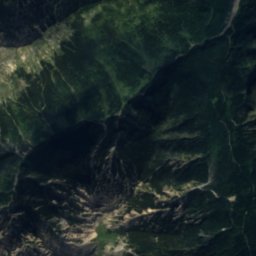
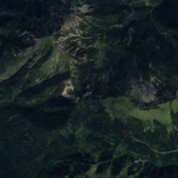
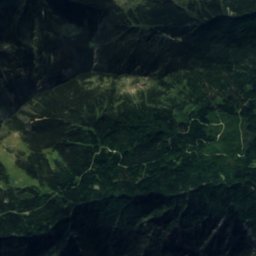
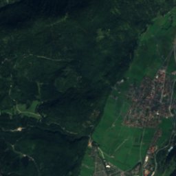
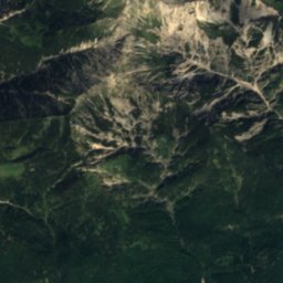
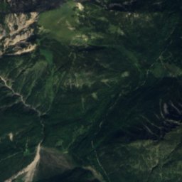
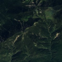
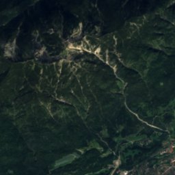
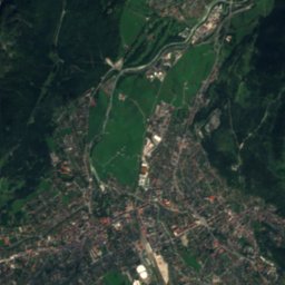
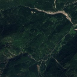
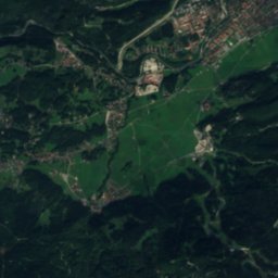
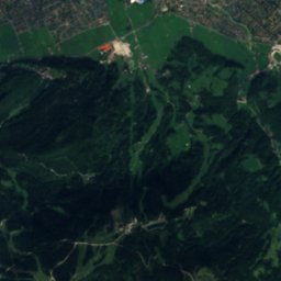
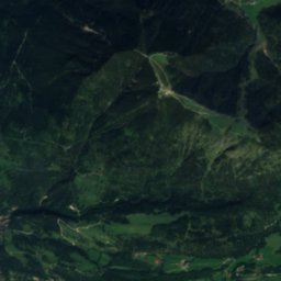
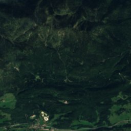
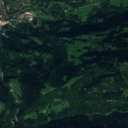
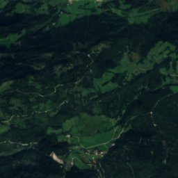
Krepbach from above

Nature nearbyAll of Germany
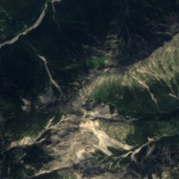
Satellite: Sentinel-2 cloudless 2016 by EOX IT Services GmbH · CC BY 4.0 · Contains modified Copernicus Sentinel data 2016
HammersbachRiver0.3 kmNEHammersbach
Photo: Riessersee Hotel · CC BY 3.0 · Wikimedia CommonsReport this photo · linked, not stored
RiesserseeLake2.2 kmERiessersee
Photo: Octagon · CC BY 3.0 · Wikimedia CommonsReport this photo · linked, not stored
BaderseeLake2.6 kmWBadersee
Photo: H.G.Graser · CC BY-SA 3.0 · Wikimedia CommonsReport this photo · linked, not stored
KreuzeckhausMountain hut3.0 kmSEKreuzeckhaus
Photo: Carl Steinbeisser · Public domain · Wikimedia CommonsReport this photo · linked, not stored
PartnachRiver3.8 kmNEPartnach
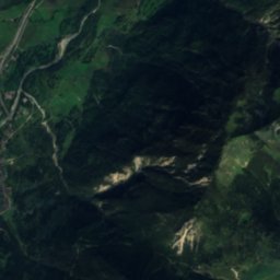
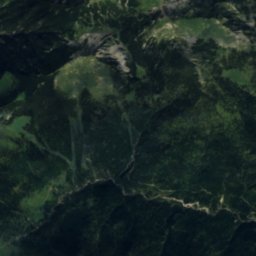
Satellite: Sentinel-2 cloudless 2016 by EOX IT Services GmbH · CC BY 4.0 · Contains modified Copernicus Sentinel data 2016
KankerbachRiver4.1 kmNEKankerbach
Summits nearbyMountains of Germany
Photo: Tuxyso / Wikimedia Commons / CC-BY-SA-4.0 · CC BY-SA 4.0 · Wikimedia CommonsReport this photo · linked, not stored
Zugspitze7.9 km SW2,962 mJuly 7°Zugspitze
Photo: Herbert Rieger · CC BY-SA 3.0 · Wikimedia CommonsReport this photo · linked, not stored
Schneefernerkopf9.7 km SW2,874 mJuly 7°Schneefernerkopf
Photo: Michael Fiegle · CC BY-SA 3.0 · Wikimedia CommonsReport this photo · linked, not stored
Zugspitzeck8.9 km SW2,815 mJuly 9°Zugspitzeck
Photo: Svickova · Public domain · Wikimedia CommonsReport this photo · linked, not stored
Hochplattig15 km S2,768 mJuly 9°Hochplattig
Photo: Frstgr · CC BY 3.0 · Wikimedia CommonsReport this photo · linked, not stored
Wetterspitzen10 km SW2,746 mJuly 7°Wetterspitzen
Photo: Unknown author · CC BY-SA 3.0 · Wikimedia CommonsReport this photo · linked, not stored
Hochwanner9.0 km S2,744 mJuly 9°Hochwanner
Stay nearby

Towns close by

Hammersbach
Photo: MarcelX42 · CC BY-SA 4.0 · Wikimedia CommonsReport this photo · linked, not stored

Hammersbach

Bavaria · 1.1 km S
15°Oct high
12wet days
49score
Hammersbach
Grainau
Photo: Octagon · CC BY 3.0 · Wikimedia CommonsReport this photo · linked, not stored

Grainau

Bavaria · 2.0 km W
14°Oct high
12wet days
48score
Grainau
Garmisch-Partenkirchen
Photo: Milei.vencel · CC BY-SA 4.0 · Wikimedia CommonsReport this photo · linked, not stored

Garmisch-Partenkirchen

Bavaria · 3.8 km NE
15°Oct high
12wet days
51score
Garmisch-Partenkirchen
Burgrain
Photo: burgrain · CC BY 3.0 · Wikimedia CommonsReport this photo · linked, not stored

Burgrain

Bavaria · 6.2 km NE
15°Oct high
12wet days
52score
Burgrain
Around here

Hammersbach and around

Hammersbach
Photo: MarcelX42 · CC BY-SA 4.0 · Wikimedia CommonsReport this photo · linked, not stored

Hammersbach

Bavaria · Germany
May · Jul–Augbest months
24°July high
765 maltitude
Hammersbach

Nature

Eibsee, Bavaria
Photo: Octagon · CC BY 3.0 · Wikimedia CommonsReport this photo · linked, not stored
5.7 km W

Eibsee, Bavaria

Lake · 973 m
Eibsee, Bavaria
Riessersee
Photo: Riessersee Hotel · CC BY 3.0 · Wikimedia CommonsReport this photo · linked, not stored
2.7 km NE

Riessersee

Lake · 785 m
Riessersee
King's House on Schachen
Photo: Bjs · CC BY-SA 3.0 · Wikimedia CommonsReport this photo · linked, not stored
7.2 km SE

King's House on Schachen

Mountain hut
King's House on Schachen

Mountains

Strahlkogel
Photo: Svíčková · CC BY-SA 3.0 · Wikimedia CommonsReport this photo · linked, not stored
40 km S

Strahlkogel

3,288 m · Stubai Alps
Strahlkogel
Gleirscher Fernerkogel
Photo: Svíčková · CC BY-SA 3.0 · Wikimedia CommonsReport this photo · linked, not stored
39 km S

Gleirscher Fernerkogel

3,189 m · Stubai Alps
Gleirscher Fernerkogel
Winnebacher Weißkogel
Photo: Svíčková · CC BY-SA 3.0 · Wikimedia CommonsReport this photo · linked, not stored
40 km S

Winnebacher Weißkogel

3,182 m · Stubai Alps
Winnebacher Weißkogel

Heritage

Marienkapelle, Hammersbach
Photo: Ricardalovesmonuments · CC BY 4.0 · Wikimedia CommonsReport this photo · linked, not stored
0.3 km SW

Marienkapelle, Hammersbach

architectural heritage monument in Bavaria · 1901
Marienkapelle, Hammersbach
Olympia-Bobbahn Rießersee
Photo: Jkü · CC BY-SA 3.0 · Wikimedia CommonsReport this photo · linked, not stored
2.6 km E

Olympia-Bobbahn Rießersee

architectural heritage monument in Bavaria
Olympia-Bobbahn Rießersee
St. Josef (Untergrainau)
Photo: Weners · CC BY-SA 3.0 · Wikimedia CommonsReport this photo · linked, not stored
2.2 km NW

St. Josef (Untergrainau)

architectural heritage monument in Bavaria
St. Josef (Untergrainau)

Museums

Richard-Strauss-Institut
Photo: Gliwi · CC BY-SA 3.0 · Wikimedia CommonsReport this photo · linked, not stored
5.3 km NE

Richard-Strauss-Institut

1999
Richard-Strauss-Institut
Museum Werdenfels
Photo: Ricardalovesmonuments · CC BY 4.0 · Wikimedia CommonsReport this photo · linked, not stored
5.6 km NE

Museum Werdenfels

Cultural history museum · 1895
Museum Werdenfels
Ganghofermuseum
Photo: Pelz · CC BY-SA 3.0 · Wikimedia CommonsReport this photo · linked, not stored
13 km SE

Ganghofermuseum

1999
Ganghofermuseum