Skip to content
Destinations
Weather & climate
Nature
Outdoors
Culture
Events
Sky & live
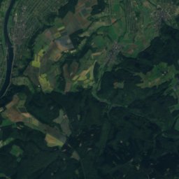
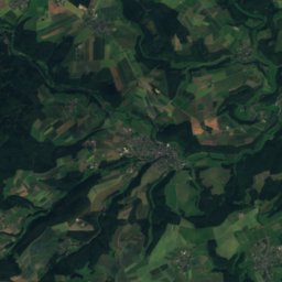
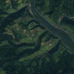
Kauerbach
Photo: Prankster · Public domain · Wikimedia Commons
KauerbachReport this photo · linked, not stored
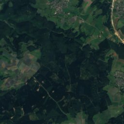
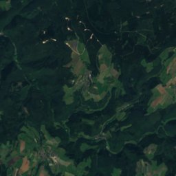
Lametbach
Photo: Markus Braun · Public domain · Wikimedia Commons
LametbachReport this photo · linked, not stored
Lametbach
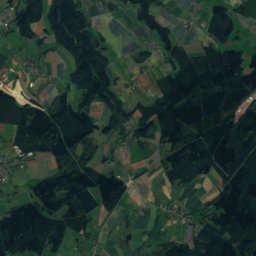
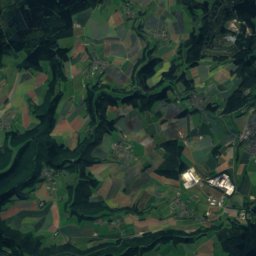
Külzbach
Photo: Prankster · CC0 · Wikimedia Commons
KülzbachReport this photo · linked, not stored
Külzbach
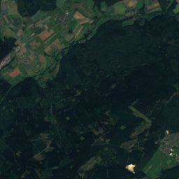
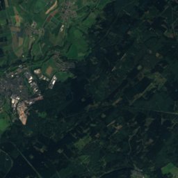
Kyrbach
Photo: prankster · Public domain · Wikimedia Commons
KyrbachReport this photo · linked, not stored
Kyrbach
Idarbach, Hausen
Photo: Markus Braun · Public domain · Wikimedia Commons
Idarbach, HausenReport this photo · linked, not stored
Idarbach, Hausen
RiverRavengiersburg, Rheinland-Pfalz

Kauerbach

RiverBest Jun–Jul · Sep
Elevation–above sea level
Length6.0 kmsource to mouth
Nearest townRavengiersburg0.5 km
49.93° N, 7.48° EUTC+1 · Central European Standard Time
When to goRavengiersburg · weather score
JanFebMarAprMayJunJulAugSepOctNovDec42October
Best timeJun–Jul · Sep
October: high / low14° / 6°
River

Kauerbach in brief

Kauerbach is a river in Ravengiersburg, Rheinland-Pfalz, Germany.

The nearest town is Ravengiersburg, 0.5 km to the NE, where the weather is best in June, July and September.

Kauerbach is 6.0 km long.

Ravengiersburg: weather and travel guide

Weather nearby now

Forecast for Ravengiersburg
6°
Partly cloudy now
Wind21 km/h
Humidity88%
Cloud cover36%
Today
26 Oct
11°
5°
Tue
27 Oct
16°
8°
Wed
28 Oct
12°
6°
1 mm
Thu
29 Oct
13°
5°
Fri
30 Oct
11°
4°

Model run 12:00 UTCRefreshed several times a day

When to go

The best months around Kauerbach

Climate of Ravengiersburg

Month score in Ravengiersburg

Comfort, dry days and sunshine · out of 100
16
Jan
22
Feb
24
Mar
54
Apr
66
May
67
Jun
68
Jul
67
Aug
75
Sep
42
Oct
18
Nov
13
Dec
Map

Kauerbach from above

Nature nearbyAll of Germany
Photo: Markus Braun · Public domain · Wikimedia CommonsReport this photo · linked, not stored
LametbachRiver3.7 kmSLametbach
Photo: Prankster · CC0 · Wikimedia CommonsReport this photo · linked, not stored
KülzbachRiver6.0 kmNEKülzbach
Photo: prankster · Public domain · Wikimedia CommonsReport this photo · linked, not stored
KyrbachRiver9.3 kmSWKyrbach
Photo: Markus Braun · Public domain · Wikimedia CommonsReport this photo · linked, not stored
Idarbach, HausenRiver9.3 kmSWIdarbach, Hausen
Photo: Markus Braun · Public domain · Wikimedia CommonsReport this photo · linked, not stored
Ellerbach (Nahe)River9.8 kmEEllerbach (Nahe)
Photo: Markus Braun · Public domain · Wikimedia CommonsReport this photo · linked, not stored
Bieberbach, Rheinland-PfalzRiver12 kmNWBieberbach, Rheinland-Pfalz
Summits nearbyMountains of Germany
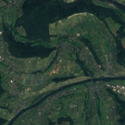
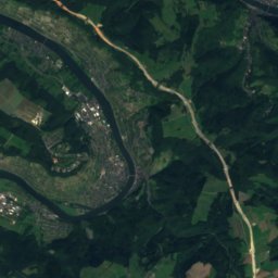
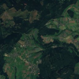
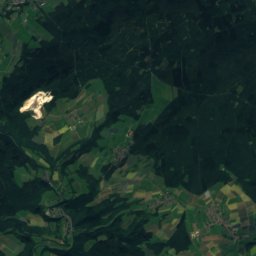
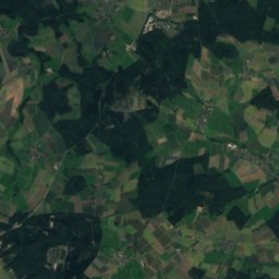
Satellite: Sentinel-2 cloudless 2016 by EOX IT Services GmbH · CC BY 4.0 · Contains modified Copernicus Sentinel data 2016
An den zwei Steinen21 km SW766 mJuly 21°An den zwei Steinen
Photo: Markus Braun · Public domain · Wikimedia CommonsReport this photo · linked, not stored
Idarkopf17 km SW746 mJuly 21°Idarkopf
Photo: Jörg Braukmann · CC BY-SA 3.0 · Wikimedia CommonsReport this photo · linked, not stored
Wildenburger Kopf23 km SW671 mJuly 22°Wildenburger Kopf
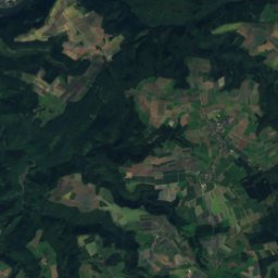
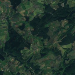
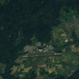
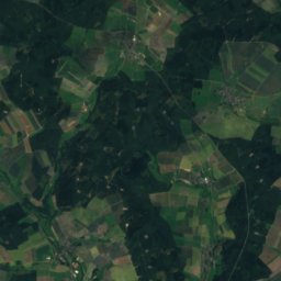
Satellite: Sentinel-2 cloudless 2016 by EOX IT Services GmbH · CC BY 4.0 · Contains modified Copernicus Sentinel data 2016
Ellerspring9.6 km E658 mJuly 22°Ellerspring
Photo: Markus Braun · Public domain · Wikimedia CommonsReport this photo · linked, not stored
Simmerkopf8.3 km E653 mJuly 22°Simmerkopf
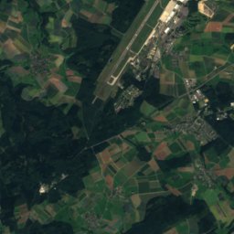
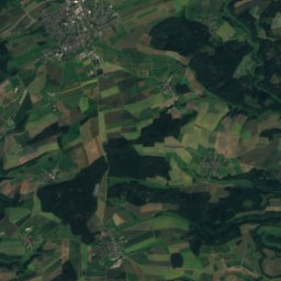
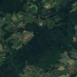
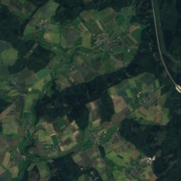
Satellite: Sentinel-2 cloudless 2016 by EOX IT Services GmbH · CC BY 4.0 · Contains modified Copernicus Sentinel data 2016
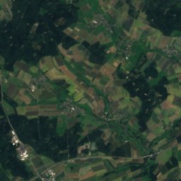
Opel13 km E649 mJuly 22°Opel
Stay nearby

Towns close by

Ravengiersburg
Photo: Markus Braun · Public domain · Wikimedia CommonsReport this photo · linked, not stored

Ravengiersburg

Rheinland-Pfalz · 0.5 km NE
14°Oct high
12wet days
42score
Ravengiersburg
Mengerschied
Photo: Markus Braun · Public domain · Wikimedia CommonsReport this photo · linked, not stored

Mengerschied

Rheinland-Pfalz · 2.0 km SE
13°Oct high
11wet days
41score
Mengerschied
Belgweiler
Photo: Prankster · CC0 · Wikimedia CommonsReport this photo · linked, not stored

Belgweiler

Rheinland-Pfalz · 2.4 km N
14°Oct high
12wet days
42score
Belgweiler
Schönborn
Photo: Prankster · Public domain · Wikimedia CommonsReport this photo · linked, not stored

Schönborn

Rheinland-Pfalz · 2.5 km N
13°Oct high
12wet days
40score
Schönborn
Around here

Ravengiersburg and around

Ravengiersburg
Photo: Markus Braun · Public domain · Wikimedia CommonsReport this photo · linked, not stored

Ravengiersburg

Rheinland-Pfalz · Germany
Jun–Jul · Sepbest months
24°July high
305 maltitude
Ravengiersburg

Nature

Ellerbach (Nahe)
Photo: Markus Braun · Public domain · Wikimedia CommonsReport this photo · linked, not stored
9.8 km SE

Ellerbach (Nahe)

River · 104 m
Ellerbach (Nahe)
Idarbach, Hausen
Photo: Markus Braun · Public domain · Wikimedia CommonsReport this photo · linked, not stored
9.8 km SW

Idarbach, Hausen

River
Idarbach, Hausen
Lametbach
Photo: Markus Braun · Public domain · Wikimedia CommonsReport this photo · linked, not stored
4.2 km S

Lametbach

River
Lametbach

Mountains

Erbeskopf
Photo: Jörg Braukmann · CC BY-SA 4.0 · Wikimedia CommonsReport this photo · linked, not stored
36 km SW

Erbeskopf

816 m · Hunsrück
Erbeskopf
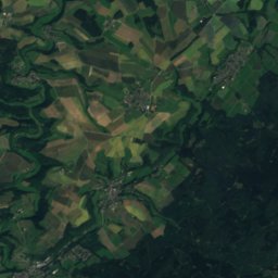
Satellite: Sentinel-2 cloudless 2016 by EOX IT Services GmbH · CC BY 4.0 · Contains modified Copernicus Sentinel data 2016
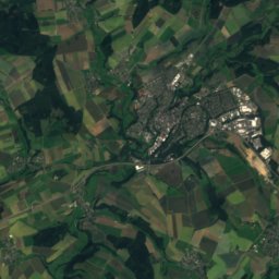
21 km SW

An den zwei Steinen

766 m · Idar Forest
An den zwei Steinen
Kahlheid
Photo: Mabol! · CC BY-SA 3.0 · Wikimedia CommonsReport this photo · linked, not stored
34 km SW

Kahlheid

766 m · Idar Forest
Kahlheid

Heritage

Bismarck Tower, Sargenroth
Photo: Markus Braun · Public domain · Wikimedia CommonsReport this photo · linked, not stored
2.7 km E

Bismarck Tower, Sargenroth

cultural heritage monument in Rhineland-Palatinate
Bismarck Tower, Sargenroth
Kloster Ravengiersburg
Photo: Prankster · CC0 · Wikimedia CommonsReport this photo · linked, not stored
0.5 km NW

Kloster Ravengiersburg

Kulturdenkmal
Kloster Ravengiersburg
Nunkirche
Photo: CTHOE · CC BY-SA 3.0 · Wikimedia CommonsReport this photo · linked, not stored
2.5 km E

Nunkirche

Kulturdenkmal
Nunkirche

Museums

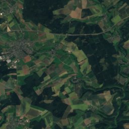
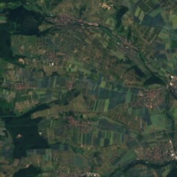
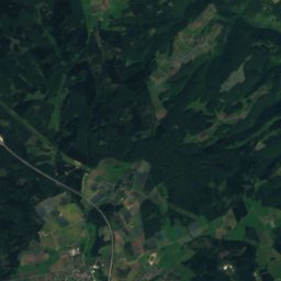
Satellite: Sentinel-2 cloudless 2016 by EOX IT Services GmbH · CC BY 4.0 · Contains modified Copernicus Sentinel data 2016
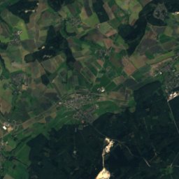
6.2 km NE

Hunsrück-Museum Simmern

1921
Hunsrück-Museum Simmern
Satellite: Sentinel-2 cloudless 2016 by EOX IT Services GmbH · CC BY 4.0 · Contains modified Copernicus Sentinel data 2016
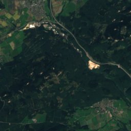
6.4 km NE

Hunsrückmuseum, Abt. Schinderhannesturm

Hunsrückmuseum, Abt. Schinderhannesturm
Satellite: Sentinel-2 cloudless 2016 by EOX IT Services GmbH · CC BY 4.0 · Contains modified Copernicus Sentinel data 2016
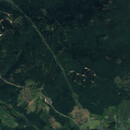
8.9 km N

Kulturhistorisches Museum Hunsrück in Neuerkirch

Kulturhistorisches Museum Hunsrück in Neuerkirch