Skip to content
Destinations
Weather & climate
Nature
Outdoors
Culture
Events
Sky & live
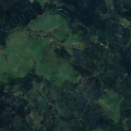
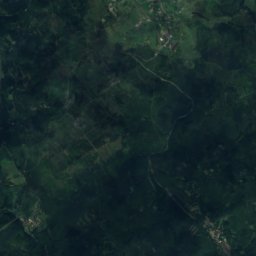
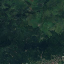
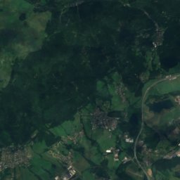
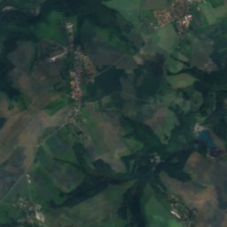
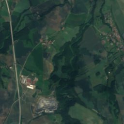
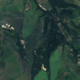
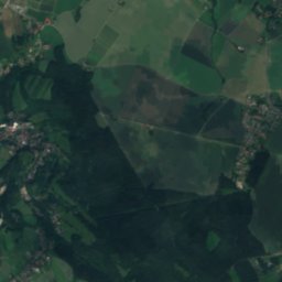
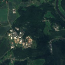
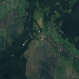
Satellite: Sentinel-2 cloudless 2016 by EOX IT Services GmbH · CC BY 4.0 · Contains modified Copernicus Sentinel data 2016
Bennohöhle
Photo: SchiDD · CC BY-SA 3.0 · Wikimedia Commons
BennohöhleReport this photo · linked, not stored
Bennohöhle
Bahra
Photo: Norbert Kaiser · CC BY-SA 2.5 · Wikimedia Commons
BahraReport this photo · linked, not stored
Bahra
Kahleberg
Photo: Norbert Kaiser · CC BY-SA 2.5 · Wikimedia Commons
KahlebergReport this photo · linked, not stored
Kahleberg
Geisingberg
Photo: Hejkal · CC BY-SA 3.0 · Wikimedia Commons
GeisingbergReport this photo · linked, not stored
Geisingberg
Mountain hutBad Gottleuba-Berggießhübel, Saxony

Kamphütte

Mountain hutBest May · Aug–Sep
Elevation–above sea level
Area–surface
Nearest townBad Gottleuba-Berggießhübel6.6 km
50.85° N, 14.04° EUTC+2 · Central European Summer Time
When to goBad Gottleuba-Berggießhübel · weather score
JanFebMarAprMayJunJulAugSepOctNovDec39October
Best timeMay · Aug–Sep
October: high / low13° / 5°
Mountain hut

Kamphütte in brief

Kamphütte is a mountain hut in Bad Gottleuba-Berggießhübel, Saxony, Germany.

The nearest town in the atlas is Bad Gottleuba-Berggießhübel, 6.6 km to the W, where the weather is best in May, August and September.

Bad Gottleuba-Berggießhübel: weather and travel guide

Weather nearby now

Forecast for Bad Gottleuba-Berggießhübel
6°
Clear now
Wind7 km/h
Humidity83%
Cloud cover11%
Today
23 Oct
10°
2°
Sat
24 Oct
9°
2°
1 mm
Sun
25 Oct
9°
2°
8 mm
Mon
26 Oct
11°
4°
Tue
27 Oct
11°
3°

Model run 12:00 UTCRefreshed several times a day

When to go

The best months around Kamphütte

Climate of Bad Gottleuba-Berggießhübel

Month score in Bad Gottleuba-Berggießhübel

Comfort, dry days and sunshine · out of 100
15
Jan
23
Feb
21
Mar
53
Apr
64
May
62
Jun
64
Jul
67
Aug
69
Sep
39
Oct
21
Nov
15
Dec
Map

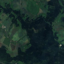
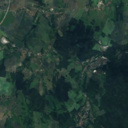
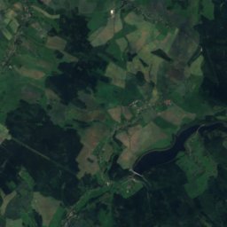
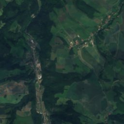
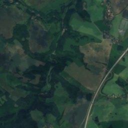
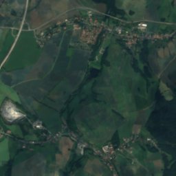
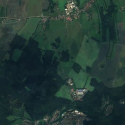
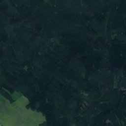
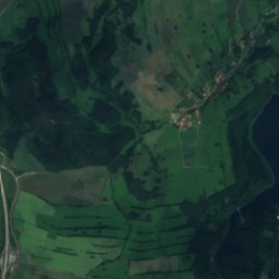
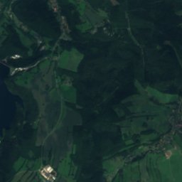
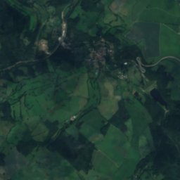
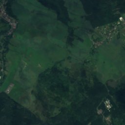
Kamphütte from above

Nature nearbyAll of Germany
Photo: SchiDD · CC BY-SA 3.0 · Wikimedia CommonsReport this photo · linked, not stored
BennohöhleCave1.8 kmSEBennohöhle
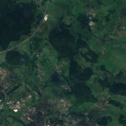
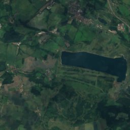
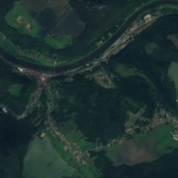
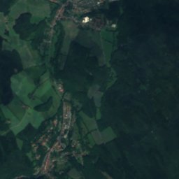
Satellite: Sentinel-2 cloudless 2016 by EOX IT Services GmbH · CC BY 4.0 · Contains modified Copernicus Sentinel data 2016
Bielatal-HütteMountain hut1.8 kmSEBielatal-Hütte
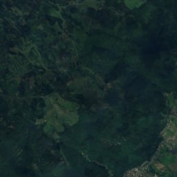
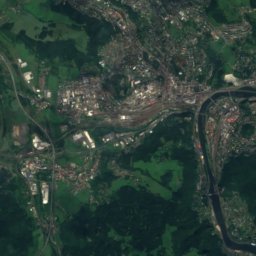
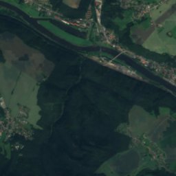
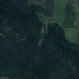
Satellite: Sentinel-2 cloudless 2016 by EOX IT Services GmbH · CC BY 4.0 · Contains modified Copernicus Sentinel data 2016
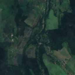
RotsteinhütteMountain hut4.4 kmERotsteinhütte
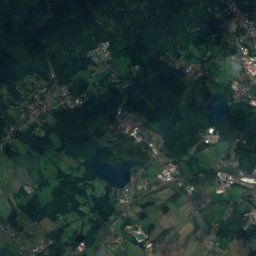
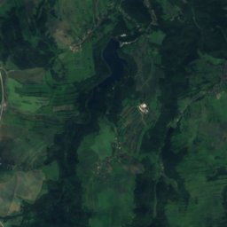
Satellite: Sentinel-2 cloudless 2016 by EOX IT Services GmbH · CC BY 4.0 · Contains modified Copernicus Sentinel data 2016
Rückhaltebecken BuschbachLake4.4 kmSWRückhaltebecken Buschbach
Photo: Norbert Kaiser · CC BY-SA 2.5 · Wikimedia CommonsReport this photo · linked, not stored
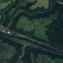
BahraRiver4.5 kmSWBahra
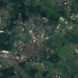
Satellite: Sentinel-2 cloudless 2016 by EOX IT Services GmbH · CC BY 4.0 · Contains modified Copernicus Sentinel data 2016
Fuchs-TeichLake5.0 kmSEFuchs-Teich
Summits nearbyMountains of Germany
Photo: Norbert Kaiser · CC BY-SA 2.5 · Wikimedia CommonsReport this photo · linked, not stored
Kahleberg24 km SW905 mJuly 19°Kahleberg
Photo: Hejkal · CC BY-SA 3.0 · Wikimedia CommonsReport this photo · linked, not stored
Geisingberg20 km SW824 mJuly 20°Geisingberg
Satellite: Sentinel-2 cloudless 2016 by EOX IT Services GmbH · CC BY 4.0 · Contains modified Copernicus Sentinel data 2016
Komáří hůrka20 km SW808 mJuly 21°Komáří hůrka
Satellite: Sentinel-2 cloudless 2016 by EOX IT Services GmbH · CC BY 4.0 · Contains modified Copernicus Sentinel data 2016
Kohlhaukuppe21 km SW786 mJuly 21°Kohlhaukuppe
Photo: Olaf1541 · CC BY 2.5 · Wikimedia CommonsReport this photo · linked, not stored
Děčínský Sněžník7.8 km SE724 mJuly 21°Děčínský Sněžník
Satellite: Sentinel-2 cloudless 2016 by EOX IT Services GmbH · CC BY 4.0 · Contains modified Copernicus Sentinel data 2016
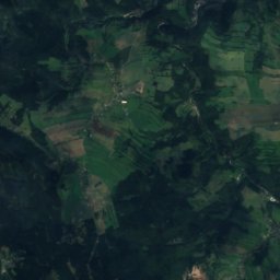
Spičák11 km SW723 mJuly 21°Spičák
Stay nearby

Towns close by

Bad Gottleuba-Berggießhübel
Photo: Norbert Kaiser · CC BY-SA 3.0 · Wikimedia CommonsReport this photo · linked, not stored

Bad Gottleuba-Berggießhübel

Saxony · 6.6 km W
13°Oct high
11wet days
39score
Bad Gottleuba-Berggießhübel
Tisá
Photo: Draceane · CC BY-SA 4.0 · Wikimedia CommonsReport this photo · linked, not stored

Tisá

Ústí nad Labem Region · 7.0 km S
11°Oct high
11wet days
31score
Tisá
Petrovice
Photo: SchiDD · CC BY-SA 4.0 · Wikimedia CommonsReport this photo · linked, not stored

Petrovice

Ústí nad Labem Region · 7.8 km SW
11°Oct high
11wet days
31score
Petrovice
Königstein
Photo: Henry Mühlpfordt · CC BY-SA 3.0 · Wikimedia CommonsReport this photo · linked, not stored

Königstein

Saxony · 8.0 km N
14°Oct high
11wet days
44score
Königstein
Around here

Bad Gottleuba-Berggießhübel and around

Bad Gottleuba-Berggießhübel
Photo: Norbert Kaiser · CC BY-SA 3.0 · Wikimedia CommonsReport this photo · linked, not stored

Bad Gottleuba-Berggießhübel

Saxony · Germany
May · Aug–Sepbest months
24°July high
333 maltitude
Bad Gottleuba-Berggießhübel

Nature

Biela
Photo: Michael Fiegle · CC BY-SA 3.0 · Wikimedia CommonsReport this photo · linked, not stored
12 km NE

Biela

River · 133 m
Biela
Bahra
Photo: Norbert Kaiser · CC BY-SA 2.5 · Wikimedia CommonsReport this photo · linked, not stored
4.9 km SE

Bahra

River · 261 m
Bahra
Seidewitz
Photo: Norbert Kaiser · CC BY-SA 3.0 · Wikimedia CommonsReport this photo · linked, not stored
11 km N

Seidewitz

River
Seidewitz

Mountains

Loučná
Photo: Maoman · CC BY-SA 4.0 · Wikimedia CommonsReport this photo · linked, not stored
33 km SW

Loučná

956 m · Ore Mountains
Loučná
Satellite: Sentinel-2 cloudless 2016 by EOX IT Services GmbH · CC BY 4.0 · Contains modified Copernicus Sentinel data 2016
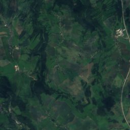
23 km SW

Pramenáč

910 m · Ore Mountains
Pramenáč
Kahleberg
Photo: Norbert Kaiser · CC BY-SA 2.5 · Wikimedia CommonsReport this photo · linked, not stored
19 km SW

Kahleberg

905 m · Ore Mountains
Kahleberg

Heritage

Polish-Saxon Post Milestone in Bad Gottleuba
Photo: Jörg Blobelt · CC BY-SA 4.0 · Wikimedia CommonsReport this photo · linked, not stored
0.4 km S

Polish-Saxon Post Milestone in Bad Gottleuba

heritage monument in Saxony · 1731
Polish-Saxon Post Milestone in Bad Gottleuba
Saint Peter Church, Bad Gottleuba-Berggießhübel
Photo: Norbert Kaiser · CC BY-SA 3.0 · Wikimedia CommonsReport this photo · linked, not stored
0.5 km S

Saint Peter Church, Bad Gottleuba-Berggießhübel

heritage monument in Saxony · 1401
Saint Peter Church, Bad Gottleuba-Berggießhübel
Rittergut Giesenstein
Photo: Wissenslustiger · CC BY-SA 4.0 · Wikimedia CommonsReport this photo · linked, not stored
1.1 km N

Rittergut Giesenstein

heritage monument in Saxony · 1701
Rittergut Giesenstein

Museums

Marie Louise Stolln Mine
Photo: Singlespeedfahrer · CC0 · Wikimedia CommonsReport this photo · linked, not stored
2.5 km N

Marie Louise Stolln Mine

Show mine · 2006
Marie Louise Stolln Mine
Sonnenstein Euthanasia Centre
Photo: Kalispera Dell · CC BY 3.0 · Wikimedia CommonsReport this photo · linked, not stored
12 km N

Sonnenstein Euthanasia Centre

Sonnenstein Euthanasia Centre
GDR Museum in Pirna
Photo: Toffel · CC BY-SA 4.0 · Wikimedia CommonsReport this photo · linked, not stored
10 km N

GDR Museum in Pirna

GDR Museum in Pirna