Skip to content
Destinations
Weather & climate
Nature
Outdoors
Culture
Events
Sky & live
Jauer
Photo: Julian Nyča · CC BY-SA 4.0 · Wikimedia Commons
JauerReport this photo · linked, not stored
Deutschbaselitzer Großteich
Photo: PimboliDD · CC BY-SA 3.0 · Wikimedia Commons
Deutschbaselitzer GroßteichReport this photo · linked, not stored
Deutschbaselitzer Großteich
Hochstein (Elstra)
Photo: DB111 · CC BY-SA 3.0 · Wikimedia Commons
Hochstein (Elstra)Report this photo · linked, not stored
Hochstein (Elstra)
Hoher Hahn
Photo: Gumideck · CC BY-SA 4.0 · Wikimedia Commons
Hoher HahnReport this photo · linked, not stored
Hoher Hahn
Schwedenstein
Photo: Mike Krüger · CC BY-SA 3.0 de · Wikimedia Commons
SchwedensteinReport this photo · linked, not stored
Schwedenstein
RiverJesau, Saxony

Jauer

RiverBest May · Aug–Sep
Elevation–above sea level
Length14 kmsource to mouth
Nearest townJesau3.3 km
51.31° N, 14.15° EUTC+1 · Central European Standard Time
When to goJesau · weather score
JanFebMarAprMayJunJulAugSepOctNovDec51October
Best timeMay · Aug–Sep
October: high / low14° / 6°
River

Jauer in brief

Jauer is a river in Jesau, Saxony, Germany.

The nearest town is Jesau, 3.3 km to the SW, where the weather is best in May, August and September.

Jauer is 14 km long.

Jesau: weather and travel guide

Weather nearby now

Forecast for Jesau
9°
Cloudy now
Wind10 km/h
Humidity92%
Cloud cover75%
Today
31 Oct
11°
6°
2 mm
Sun
1 Nov
9°
6°
1 mm
Mon
2 Nov
9°
4°
Tue
3 Nov
8°
1°
Wed
4 Nov
10°
3°

Model run 00:00 UTCRefreshed several times a day

When to go

The best months around Jauer

Climate of Jesau

Month score in Jesau

Comfort, dry days and sunshine · out of 100
17
Jan
26
Feb
24
Mar
64
Apr
69
May
67
Jun
63
Jul
69
Aug
73
Sep
51
Oct
23
Nov
18
Dec
Map

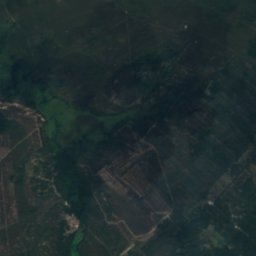
Jauer from above

Nature nearbyAll of Germany
Photo: PimboliDD · CC BY-SA 3.0 · Wikimedia CommonsReport this photo · linked, not stored
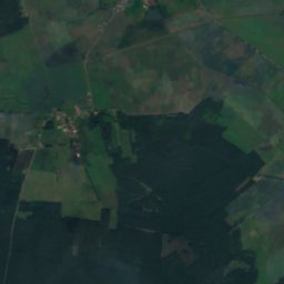
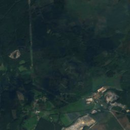
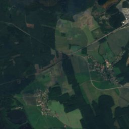
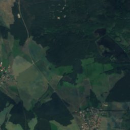
Deutschbaselitzer GroßteichLake1.1 kmSEDeutschbaselitzer Großteich
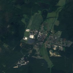
Satellite: Sentinel-2 cloudless 2016 by EOX IT Services GmbH · CC BY 4.0 · Contains modified Copernicus Sentinel data 2016
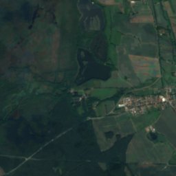
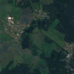
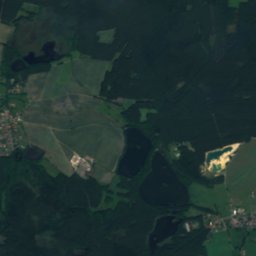
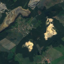
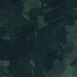
Weißiger GroßteichLake3.2 kmNWWeißiger Großteich
Satellite: Sentinel-2 cloudless 2016 by EOX IT Services GmbH · CC BY 4.0 · Contains modified Copernicus Sentinel data 2016
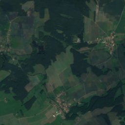
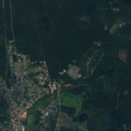
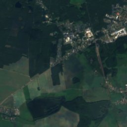
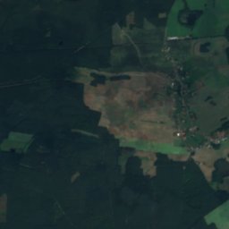
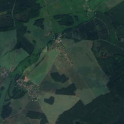
HorstteichLake4.2 kmNWHorstteich
Satellite: Sentinel-2 cloudless 2016 by EOX IT Services GmbH · CC BY 4.0 · Contains modified Copernicus Sentinel data 2016
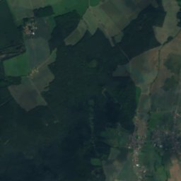
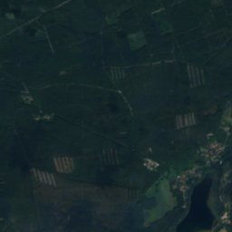
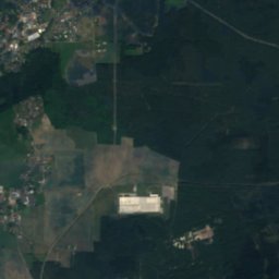
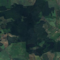
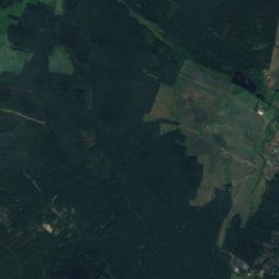
Biehlaer GroßteichLake4.2 kmNWBiehlaer Großteich
Satellite: Sentinel-2 cloudless 2016 by EOX IT Services GmbH · CC BY 4.0 · Contains modified Copernicus Sentinel data 2016
RocknitzteichLake4.6 kmNRocknitzteich
Satellite: Sentinel-2 cloudless 2016 by EOX IT Services GmbH · CC BY 4.0 · Contains modified Copernicus Sentinel data 2016
Großer Teich, BernsdorfLake9.0 kmNWGroßer Teich, Bernsdorf
Summits nearbyMountains of Germany
Photo: DB111 · CC BY-SA 3.0 · Wikimedia CommonsReport this photo · linked, not stored
Hochstein (Elstra)14 km S449 mJuly 24°Hochstein (Elstra)
Photo: Gumideck · CC BY-SA 4.0 · Wikimedia CommonsReport this photo · linked, not stored
Hoher Hahn24 km S445 mJuly 24°Hoher Hahn
Photo: Mike Krüger · CC BY-SA 3.0 de · Wikimedia CommonsReport this photo · linked, not stored
Schwedenstein14 km SW420 mJuly 24°Schwedenstein
Photo: Orientale1 · CC BY-SA 3.0 · Wikimedia CommonsReport this photo · linked, not stored
Keulenberg16 km SW413 mJuly 24°Keulenberg
Photo: Maddl79 · CC BY-SA 4.0 · Wikimedia CommonsReport this photo · linked, not stored
Krohnenberg16 km S385 mJuly 24°Krohnenberg
Photo: Sökaren · CC0 · Wikimedia CommonsReport this photo · linked, not stored
Spitzberg, Demitz-Thumitz24 km S385 mJuly 24°Spitzberg, Demitz-Thumitz
Stay nearby

Towns close by

Jesau
Photo: Julian Nyča · CC BY-SA 3.0 · Wikimedia CommonsReport this photo · linked, not stored

Jesau

Saxony · 3.3 km SW
14°Oct high
10wet days
51score
Jesau
Nebelschütz
Photo: Wolkenkratzer · CC BY-SA 4.0 · Wikimedia CommonsReport this photo · linked, not stored

Nebelschütz

Saxony · 5.2 km S
14°Oct high
10wet days
50score
Nebelschütz
Kamenz
Photo: Dabbelju · CC BY-SA 3.0 · Wikimedia CommonsReport this photo · linked, not stored

Kamenz

Saxony · 5.8 km SW
14°Oct high
10wet days
49score
Kamenz
Oßling
Photo: Gunther Tschuch · CC BY-SA 4.0 · Wikimedia CommonsReport this photo · linked, not stored

Oßling

Saxony · 5.9 km N
14°Oct high
10wet days
51score
Oßling
Around here

Jesau and around

Jesau
Photo: Julian Nyča · CC BY-SA 3.0 · Wikimedia CommonsReport this photo · linked, not stored

Jesau

Saxony · Germany
May · Aug–Sepbest months
25°July high
157 maltitude
Jesau

Nature

Black Elster
Photo: Silvio John, Elsterwerda · CC BY-SA 3.0 · Wikimedia CommonsReport this photo · linked, not stored
11 km S

Black Elster

River
Black Elster
Satkula
Photo: Sökaren · CC BY-SA 3.0 · Wikimedia CommonsReport this photo · linked, not stored
11 km SE

Satkula

River
Satkula
Haselbach, Saxony
Photo: Steffen Hillemann · CC BY-SA 4.0 · Wikimedia CommonsReport this photo · linked, not stored
11 km W

Haselbach, Saxony

River
Haselbach, Saxony

Mountains

Tanečnice, Ústí nad Labem Region
Photo: Gumideck · CC BY-SA 4.0 · Wikimedia CommonsReport this photo · linked, not stored
38 km S

Tanečnice, Ústí nad Labem Region

599 m · Lusatian Highlands
Tanečnice, Ústí nad Labem Region
Valtenberg
Photo: Gumideck · CC BY-SA 4.0 · Wikimedia CommonsReport this photo · linked, not stored
26 km SE

Valtenberg

586 m · Lusatian Highlands
Valtenberg
Czorneboh
Photo: Julian Nyča · CC BY-SA 4.0 · Wikimedia CommonsReport this photo · linked, not stored
34 km SE

Czorneboh

557 m · Lusatian Highlands
Czorneboh

Heritage

Klosterkirche St. Annen
Photo: Schelm · CC BY-SA 3.0 · Wikimedia CommonsReport this photo · linked, not stored
2.3 km SW

Klosterkirche St. Annen

heritage monument in Saxony · 1493
Klosterkirche St. Annen
Kamenz railway station
Photo: Christian Liebscher (Platte) · CC BY-SA 3.0 · Wikimedia CommonsReport this photo · linked, not stored
2.3 km SW

Kamenz railway station

heritage monument in Saxony · 1880
Kamenz railway station
Mönch (Kamenz)
Photo: LutzBruno · CC BY 3.0 · Wikimedia CommonsReport this photo · linked, not stored
2.4 km SW

Mönch (Kamenz)

heritage monument in Saxony · 1504
Mönch (Kamenz)

Museums

Lessing-Museum Kamenz
Photo: Brücke-Osteuropa · CC0 · Wikimedia CommonsReport this photo · linked, not stored
2.3 km SW

Lessing-Museum Kamenz

1929
Lessing-Museum Kamenz
Klosterkirche und Sakralmuseum St. Annen
Photo: SchiDD · CC BY 3.0 · Wikimedia CommonsReport this photo · linked, not stored
2.3 km SW

Klosterkirche und Sakralmuseum St. Annen

2011
Klosterkirche und Sakralmuseum St. Annen
Satellite: Sentinel-2 cloudless 2016 by EOX IT Services GmbH · CC BY 4.0 · Contains modified Copernicus Sentinel data 2016
2.5 km SW

Museum der Westlausitz zu Kamenz

1957
Museum der Westlausitz zu Kamenz