Skip to content
Destinations
Weather & climate
Nature
Outdoors
Culture
Events
Sky & live
Itz
Photo: Presse03 · CC BY-SA 3.0 · Wikimedia Commons
ItzReport this photo · linked, not stored
Baunach
Photo: Bauernjäger · CC BY-SA 3.0 · Wikimedia Commons
BaunachReport this photo · linked, not stored
Baunach
Hütsee
Photo: BadForBusiness · CC BY-SA 4.0 · Wikimedia Commons
HütseeReport this photo · linked, not stored
Hütsee
Leitenbach
Photo: Ermell · CC BY-SA 4.0 · Wikimedia Commons
LeitenbachReport this photo · linked, not stored
Leitenbach
Veitenstein
Photo: Ermell · CC BY-SA 4.0 · Wikimedia Commons
VeitensteinReport this photo · linked, not stored
Veitenstein
RiverBaunach, Bavaria

Itz

River238 m elevationBest Jun · Aug–Sep
Elevation238 mabove sea level
Length80 kmsource to mouth
Nearest townBaunach1.2 km
49.98° N, 10.87° EElevation 238 mUTC+2 · Central European Summer Time
When to goBaunach · weather score
JanFebMarAprMayJunJulAugSepOctNovDec48October
Best timeJun · Aug–Sep
October: high / low14° / 6°
River

Itz in brief

Itz is a river in Baunach, Bavaria, Germany.

It lies at 238 m above sea level.

The nearest town is Baunach, 1.2 km to the W, where the weather is best in June, August and September.

Itz is 80 km long.

Baunach: weather and travel guide

Weather nearby now

Forecast for Baunach
6°
Rain now
Wind23 km/h
Humidity89%
Cloud cover100%
Today
24 Oct
10°
6°
2 mm
Sun
25 Oct
12°
6°
24 mm
Mon
26 Oct
13°
5°
Tue
27 Oct
17°
7°
1 mm
Wed
28 Oct
14°
5°

Model run 00:00 UTCRefreshed several times a day

The course of the river

As mapped in OpenStreetMap, with the towns along its banks.
123456789101112
  1. 1Schalkau401 m
  2. 2Rödental340 m
  3. 3Cortendorf327 m
  4. 4Ahorn336 m
  5. 5Creidlitz304 m
  6. 6Niederfüllbach288 m
  7. 7Untersiemau302 m
  8. 8Großheirath284 m
  9. 9Untermerzbach264 m
  10. 10Rattelsdorf259 m
  11. 11Baunach247 m
  12. 12Breitengüßbach247 m
sourcemouth (or where the mapped line leaves the country)
When to go

The best months around Itz

Climate of Baunach

Month score in Baunach

Comfort, dry days and sunshine · out of 100
17
Jan
26
Feb
26
Mar
62
Apr
64
May
67
Jun
64
Jul
68
Aug
72
Sep
48
Oct
22
Nov
15
Dec
Map

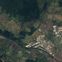
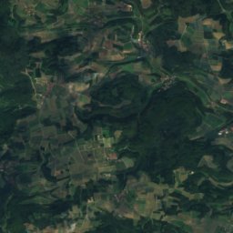
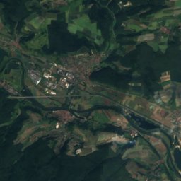
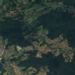
Itz from above

Nature nearbyAll of Germany
Photo: Bauernjäger · CC BY-SA 3.0 · Wikimedia CommonsReport this photo · linked, not stored
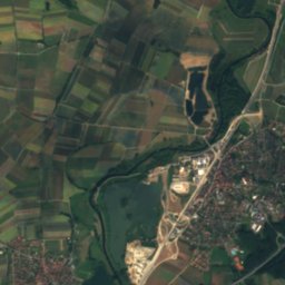
BaunachRiver1.0 kmSWBaunach
Satellite: Sentinel-2 cloudless 2016 by EOX IT Services GmbH · CC BY 4.0 · Contains modified Copernicus Sentinel data 2016
Lauter (Baunach)River1.1 kmWLauter (Baunach)
Photo: BadForBusiness · CC BY-SA 4.0 · Wikimedia CommonsReport this photo · linked, not stored
HütseeLake4.1 kmSHütsee
Photo: Ermell · CC BY-SA 4.0 · Wikimedia CommonsReport this photo · linked, not stored
LeitenbachRiver4.4 kmSLeitenbach
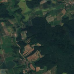
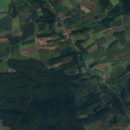
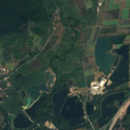
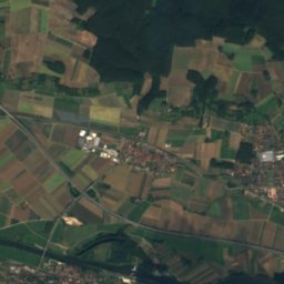
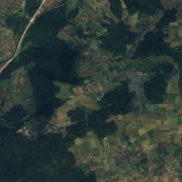
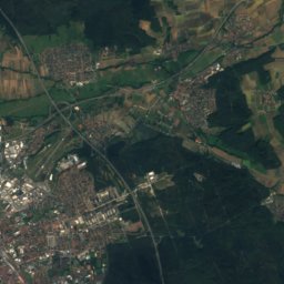
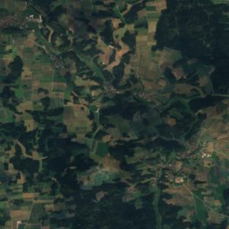
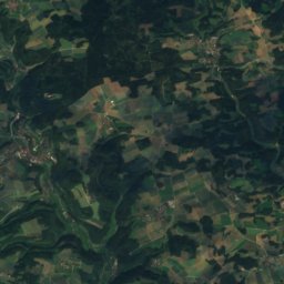
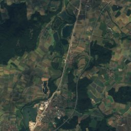
Satellite: Sentinel-2 cloudless 2016 by EOX IT Services GmbH · CC BY 4.0 · Contains modified Copernicus Sentinel data 2016
MönchsweiherLake4.7 kmSWMönchsweiher
Photo: Ermell · CC BY-SA 4.0 · Wikimedia CommonsReport this photo · linked, not stored
VeitensteinCave8.8 kmNWVeitenstein
Summits nearbyMountains of Germany
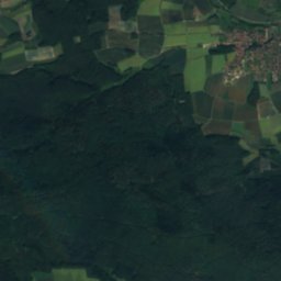
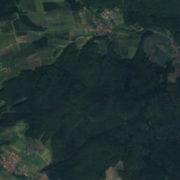
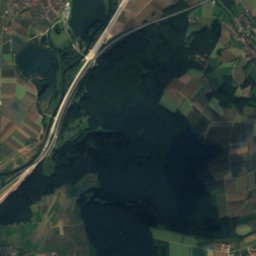
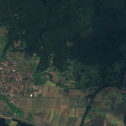
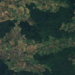
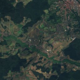
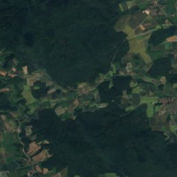
Satellite: Sentinel-2 cloudless 2016 by EOX IT Services GmbH · CC BY 4.0 · Contains modified Copernicus Sentinel data 2016
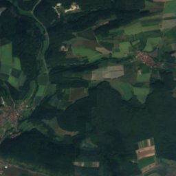
Geisberg (Geisberg Forest)17 km SE585 mJuly 23°Geisberg (Geisberg Forest)
Photo: Flash83 at German Wikipedia · Public domain · Wikimedia CommonsReport this photo · linked, not stored
Kemitzenstein19 km NE581 mJuly 23°Kemitzenstein
Photo: Janericloebe · CC BY 3.0 · Wikimedia CommonsReport this photo · linked, not stored
Friesener Warte20 km SE562 mJuly 23°Friesener Warte
Photo: Immanuel Giel 13:52, 1 December 2006 (UTC) · Public domain · Wikimedia CommonsReport this photo · linked, not stored
Reisberg14 km E554 mJuly 23°Reisberg
Photo: Presse03 at de.wikipedia · Public domain · Wikimedia CommonsReport this photo · linked, not stored
Staffelberg17 km NE539 mJuly 24°Staffelberg
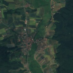
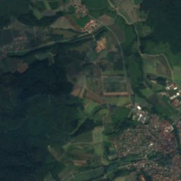
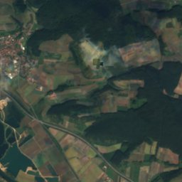
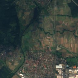
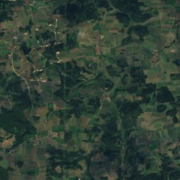
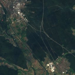
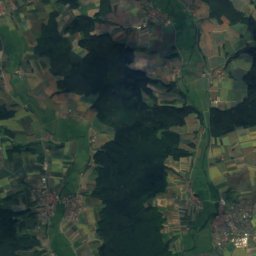
Satellite: Sentinel-2 cloudless 2016 by EOX IT Services GmbH · CC BY 4.0 · Contains modified Copernicus Sentinel data 2016
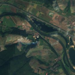
Stiefenberg4.0 km W396 mJuly 25°Stiefenberg
Stay nearby

Towns close by

Baunach
Photo: User: Benreis at wikivoyage shared · CC BY-SA 3.0 · Wikimedia CommonsReport this photo · linked, not stored

Baunach

Bavaria · 1.2 km W
14°Oct high
11wet days
48score
Baunach
Breitengüßbach
Photo: Ermell · CC BY-SA 4.0 · Wikimedia CommonsReport this photo · linked, not stored

Breitengüßbach

Bavaria · 1.8 km SE
14°Oct high
11wet days
48score
Breitengüßbach
Kemmern
Photo: Reinhold Möller · CC BY-SA 4.0 · Wikimedia CommonsReport this photo · linked, not stored

Kemmern

Bavaria · 3.2 km S
14°Oct high
11wet days
48score
Kemmern
Rattelsdorf
Photo: ermell · CC BY-SA 4.0 · Wikimedia CommonsReport this photo · linked, not stored

Rattelsdorf

Bavaria · 3.8 km N
14°Oct high
11wet days
47score
Rattelsdorf
Around here

Baunach and around

Baunach
Photo: User: Benreis at wikivoyage shared · CC BY-SA 3.0 · Wikimedia CommonsReport this photo · linked, not stored

Baunach

Bavaria · Germany
Jun · Aug–Sepbest months
25°July high
247 maltitude
Baunach

Nature

Baunach
Photo: Bauernjäger · CC BY-SA 3.0 · Wikimedia CommonsReport this photo · linked, not stored
1.0 km S

Baunach

River · 239 m
Baunach
Leitenbach
Photo: Ermell · CC BY-SA 4.0 · Wikimedia CommonsReport this photo · linked, not stored
5.0 km S

Leitenbach

River · 302 m
Leitenbach
Kellbach
Photo: Ingbife · CC BY-SA 3.0 · Wikimedia CommonsReport this photo · linked, not stored
11 km NE

Kellbach

River
Kellbach

Mountains

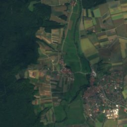
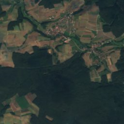
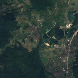
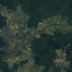
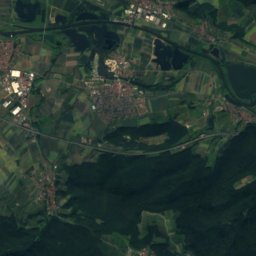
Satellite: Sentinel-2 cloudless 2016 by EOX IT Services GmbH · CC BY 4.0 · Contains modified Copernicus Sentinel data 2016
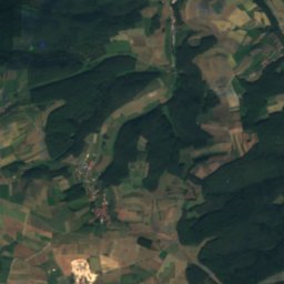
19 km SE

Geisberg (Geisberg Forest)

585 m · Franconian Jura
Geisberg (Geisberg Forest)
Kemitzenstein
Photo: Flash83 at German Wikipedia · Public domain · Wikimedia CommonsReport this photo · linked, not stored
20 km E

Kemitzenstein

581 m · Franconian Jura
Kemitzenstein
Friesener Warte
Photo: Janericloebe · CC BY 3.0 · Wikimedia CommonsReport this photo · linked, not stored
21 km SE

Friesener Warte

562 m · Franconian Jura
Friesener Warte

Heritage

Saalkirche, Baunach
Photo: 12345678 · CC BY-SA 3.0 · Wikimedia CommonsReport this photo · linked, not stored
0.3 km S

Saalkirche, Baunach

architectural heritage monument in Bavaria
Saalkirche, Baunach
St. Leonhard, Breitengüßbach
Photo: Foto: Störfix, Lizenz: Creative Commons by-sa 3.0 de · CC BY-SA 3.0 de · Wikimedia CommonsReport this photo · linked, not stored
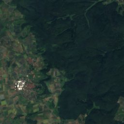
2.9 km SE

St. Leonhard, Breitengüßbach

architectural heritage monument in Bavaria
St. Leonhard, Breitengüßbach
Pfarrkirche, Baunach
Photo: Reinhold Möller · CC BY-SA 4.0 · Wikimedia CommonsReport this photo · linked, not stored
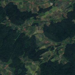
under 100 m E

Pfarrkirche, Baunach

architectural heritage monument in Bavaria
Pfarrkirche, Baunach

Museums

Historical Museum Bamberg
Photo: Reinhard Kirchner · CC BY-SA 3.0 · Wikimedia CommonsReport this photo · linked, not stored
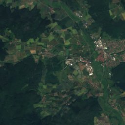
11 km S

Historical Museum Bamberg

Historical Museum Bamberg
Naturkunde-Museum Bamberg
Photo: FerdiBf · Public domain · Wikimedia CommonsReport this photo · linked, not stored
11 km S

Naturkunde-Museum Bamberg

Natural history museum · 1791
Naturkunde-Museum Bamberg
Fränkisches Brauereimuseum
Photo: Z thomas · CC BY-SA 3.0 · Wikimedia CommonsReport this photo · linked, not stored
10 km S

Fränkisches Brauereimuseum

Fränkisches Brauereimuseum