
Photo: Sven Tombers · CC BY 2.5 · Wikimedia Commons
Issumer FleuthReport this photo · linked, not stored
Issumer FleuthReport this photo · linked, not stored

Photo: © Steffen Schmitz (Carschten) / Wikimedia Commons / CC BY-SA 4.0 · CC BY-SA 4.0 · Wikimedia Commons
MoersbachReport this photo · linked, not stored
MoersbachMoersbachReport this photo · linked, not stored

Photo: Matthias Nonnenmacher · CC BY-SA 4.0 · Wikimedia Commons
Gelderner FleuthReport this photo · linked, not stored
Gelderner FleuthGelderner FleuthReport this photo · linked, not stored

Photo: Oceancetaceen Alice Chodura · CC BY-SA 3.0 · Wikimedia Commons
Waldsee, North Rhine-WestphaliaReport this photo · linked, not stored
Waldsee, North Rhine-WestphaliaWaldsee, North Rhine-WestphaliaReport this photo · linked, not stored

Photo: LoTTasLeBeN · CC BY 4.0 · Wikimedia Commons
Freizeitsee MenzelenReport this photo · linked, not stored
Freizeitsee MenzelenFreizeitsee MenzelenReport this photo · linked, not stored
RiverIssum, North Rhine-Westphalia
Issumer Fleuth
RiverBest May–Jun · Sep
Elevation–above sea level
Length25 kmsource to mouth
Nearest townIssum3.5 km
51.52° N, 6.48° EUTC+1 · Central European Standard Time
When to goIssum · weather score
Best timeMay–Jun · Sep
October: high / low15° / 8°
River
Issumer Fleuth in brief
Issumer Fleuth is a river in Issum, North Rhine-Westphalia, Germany.
The nearest town is Issum, 3.5 km to the W, where the weather is best in May, June and September.
Issumer Fleuth is 25 km long.
Weather nearby now
Forecast for Issum9°
Cloudy now
Today
31 Oct
12°
5°
Sun
1 Nov
12°
7°
Mon
2 Nov
11°
8°
1 mm
Tue
3 Nov
12°
6°
Wed
4 Nov
11°
3°
Model run 00:00 UTCRefreshed several times a day
When to go
Climate of IssumThe best months around Issumer Fleuth
Month score in Issum
Comfort, dry days and sunshine · out of 10015
Jan
21
Feb
28
Mar
60
Apr
66
May
65
Jun
64
Jul
64
Aug
69
Sep
48
Oct
17
Nov
15
Dec
Map
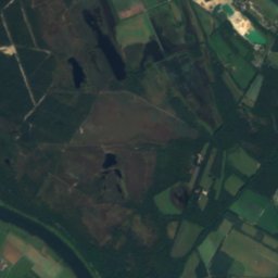
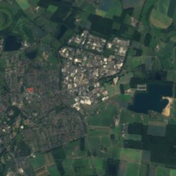
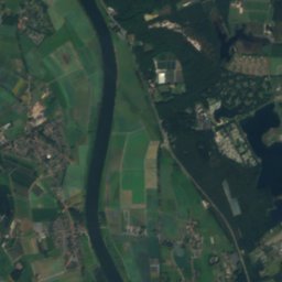
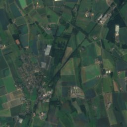
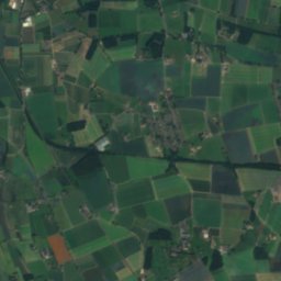
Issumer Fleuth from above
Nature nearbyAll of Germany
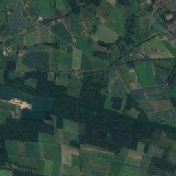
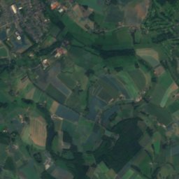
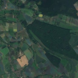
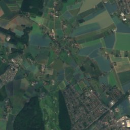
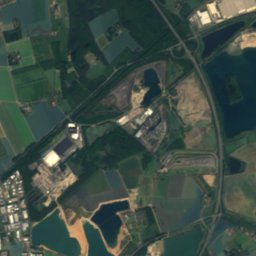
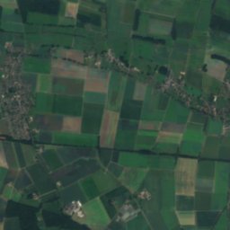
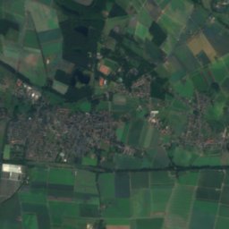
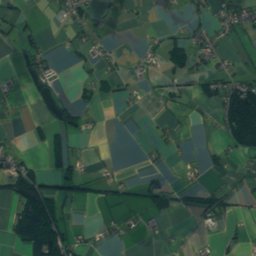
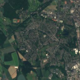
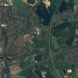
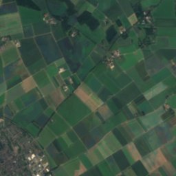
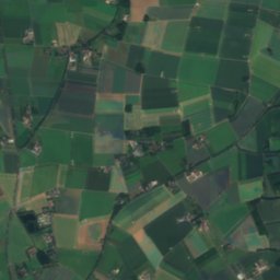
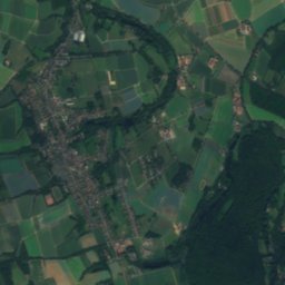
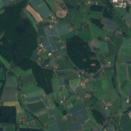
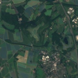
Satellite: Sentinel-2 cloudless 2016 by EOX IT Services GmbH · CC BY 4.0 · Contains modified Copernicus Sentinel data 2016

Photo: © Steffen Schmitz (Carschten) / Wikimedia Commons / CC BY-SA 4.0 · CC BY-SA 4.0 · Wikimedia CommonsReport this photo · linked, not stored
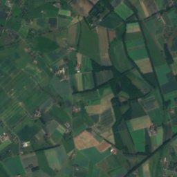
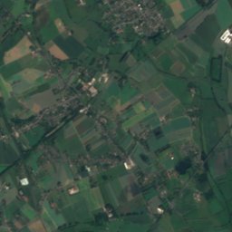
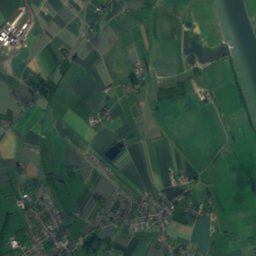
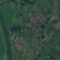
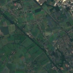
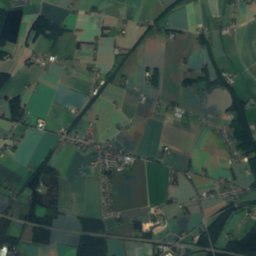
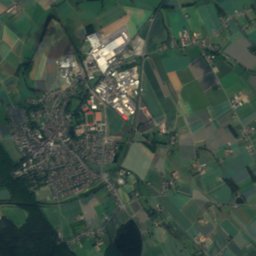
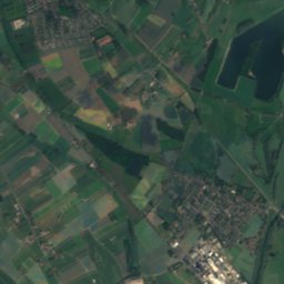
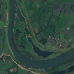
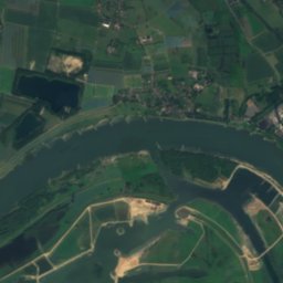
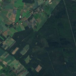
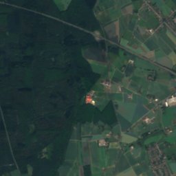
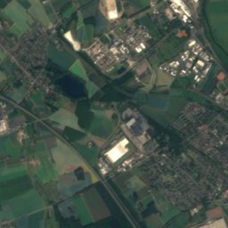
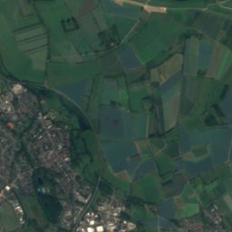
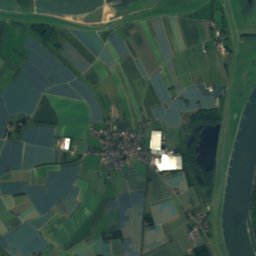
Satellite: Sentinel-2 cloudless 2016 by EOX IT Services GmbH · CC BY 4.0 · Contains modified Copernicus Sentinel data 2016

Photo: Matthias Nonnenmacher · CC BY-SA 4.0 · Wikimedia CommonsReport this photo · linked, not stored

Photo: Oceancetaceen Alice Chodura · CC BY-SA 3.0 · Wikimedia CommonsReport this photo · linked, not stored

Summits nearbyMountains of Germany

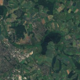
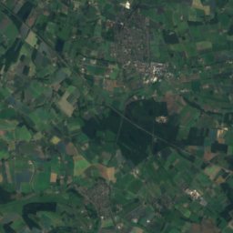
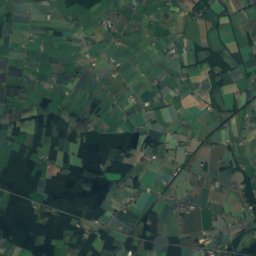
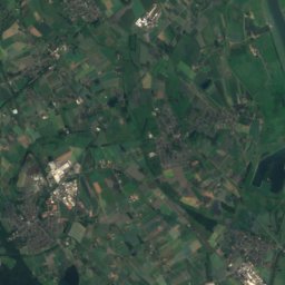
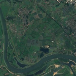
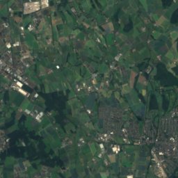
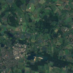
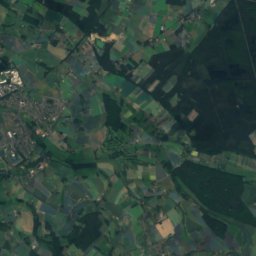
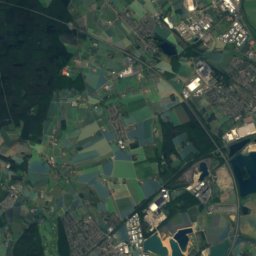
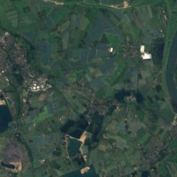
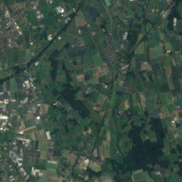
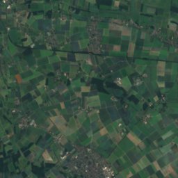
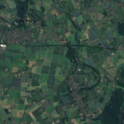
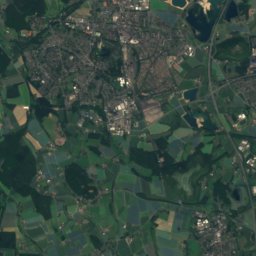
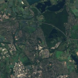
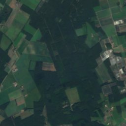
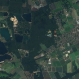
Satellite: Sentinel-2 cloudless 2016 by EOX IT Services GmbH · CC BY 4.0 · Contains modified Copernicus Sentinel data 2016


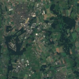
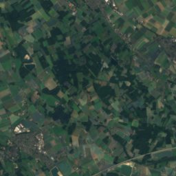
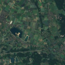
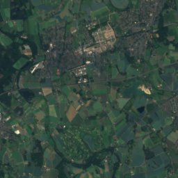
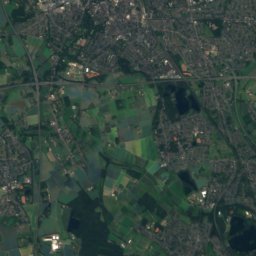
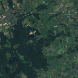
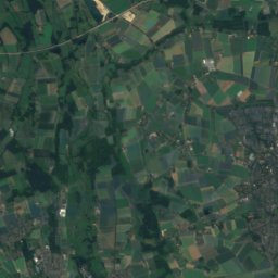
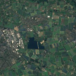
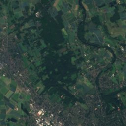
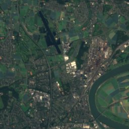
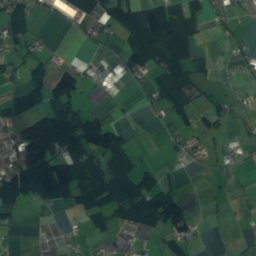
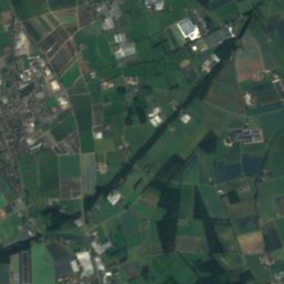
Satellite: Sentinel-2 cloudless 2016 by EOX IT Services GmbH · CC BY 4.0 · Contains modified Copernicus Sentinel data 2016
Stay nearby
Towns close by


Photo: © Raimond Spekking / CC BY-SA 3.0 (via Wikimedia Commons) · CC BY-SA 3.0 · Wikimedia CommonsReport this photo · linked, not stored
Kamp-Lintfort
North Rhine-Westphalia · 4.9 km SE
15°Oct high
13wet days
48score


Around here
Issum and around
Nature
Photo: Matthias Nonnenmacher · CC BY-SA 4.0 · Wikimedia CommonsReport this photo · linked, not stored
Gelderner Fleuth
River · 22 m
Photo: © Steffen Schmitz (Carschten) / Wikimedia Commons / CC BY-SA 4.0 · CC BY-SA 4.0 · Wikimedia CommonsReport this photo · linked, not stored
Moersbach
River · 25 m
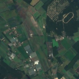
Mountains
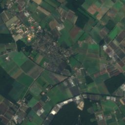
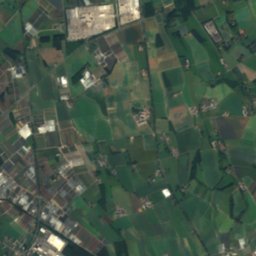
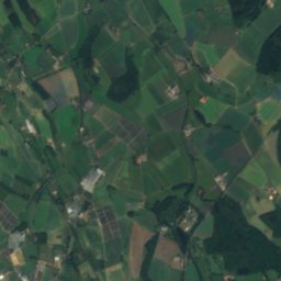
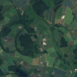
Satellite: Sentinel-2 cloudless 2016 by EOX IT Services GmbH · CC BY 4.0 · Contains modified Copernicus Sentinel data 2016
Eyllsche Berg
77 m

Heritage

St. Nikolaus, Issum
architectural heritage monument in North Rhine-Westphalia


Museums



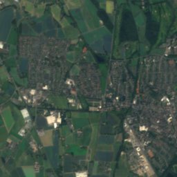
Satellite: Sentinel-2 cloudless 2016 by EOX IT Services GmbH · CC BY 4.0 · Contains modified Copernicus Sentinel data 2016
Ehemaliges Jüdisches Gemeindezentrum Issum

Photo: NiederrheinMuseumKevelaer · CC BY-SA 4.0 · Wikimedia CommonsReport this photo · linked, not stored
