Skip to content
Destinations
Weather & climate
Nature
Outdoors
Culture
Events
Sky & live
Iserbach
Photo: LigaDue · CC BY-SA 4.0 · Wikimedia Commons
IserbachReport this photo · linked, not stored
Aubach (Wied)
Photo: LigaDue · CC BY-SA 4.0 · Wikimedia Commons
Aubach (Wied)Report this photo · linked, not stored
Aubach (Wied)
Ommelsbach
Photo: LigaDue · CC BY-SA 4.0 · Wikimedia Commons
OmmelsbachReport this photo · linked, not stored
Ommelsbach
Laubach (Wied)
Photo: LigaDue · CC BY-SA 4.0 · Wikimedia Commons
Laubach (Wied)Report this photo · linked, not stored
Laubach (Wied)
Engelsbach
Photo: Cyfal · CC BY-SA 4.0 · Wikimedia Commons
EngelsbachReport this photo · linked, not stored
Engelsbach
RiverRüscheid, Rheinland-Pfalz

Iserbach

RiverBest Jul–Sep
Elevation–above sea level
Length8.9 kmsource to mouth
Nearest townRüscheid1.9 km
50.53° N, 7.59° EUTC+1 · Central European Standard Time
When to goRüscheid · weather score
JanFebMarAprMayJunJulAugSepOctNovDec38October
Best timeJul–Sep
October: high / low14° / 6°
River

Iserbach in brief

Iserbach is a river in Rüscheid, Rheinland-Pfalz, Germany.

The nearest town is Rüscheid, 1.9 km to the SW, where the weather is best in July, August and September.

Iserbach is 8.9 km long.

Rüscheid: weather and travel guide

Weather nearby now

Forecast for Rüscheid
10°
Rain now
Wind16 km/h
Humidity99%
Cloud cover100%
Today
25 Oct
14°
7°
20 mm
Mon
26 Oct
13°
6°
Tue
27 Oct
17°
9°
Wed
28 Oct
13°
6°
1 mm
Thu
29 Oct
13°
4°

Model run 12:00 UTCRefreshed several times a day

When to go

The best months around Iserbach

Climate of Rüscheid

Month score in Rüscheid

Comfort, dry days and sunshine · out of 100
13
Jan
17
Feb
18
Mar
50
Apr
62
May
62
Jun
64
Jul
65
Aug
69
Sep
38
Oct
13
Nov
11
Dec
Map

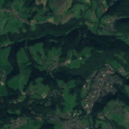
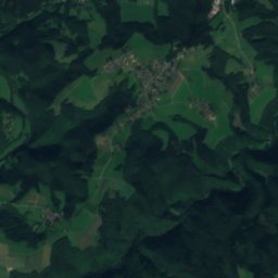
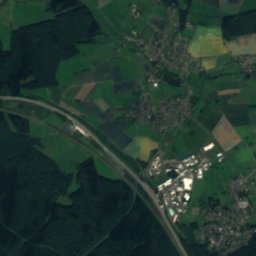
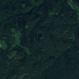
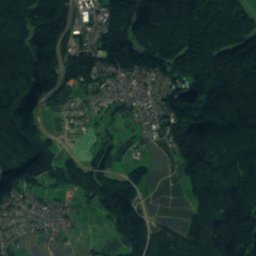
Iserbach from above

Nature nearbyAll of Germany
Photo: LigaDue · CC BY-SA 4.0 · Wikimedia CommonsReport this photo · linked, not stored
Aubach (Wied)River3.5 kmNWAubach (Wied)
Photo: LigaDue · CC BY-SA 4.0 · Wikimedia CommonsReport this photo · linked, not stored
OmmelsbachRiver3.5 kmSEOmmelsbach
Satellite: Sentinel-2 cloudless 2016 by EOX IT Services GmbH · CC BY 4.0 · Contains modified Copernicus Sentinel data 2016
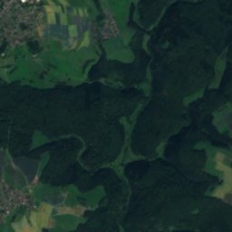
VölkerwiesenbachRiver6.8 kmSWVölkerwiesenbach
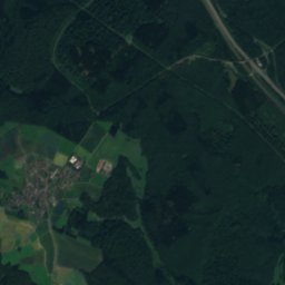
Satellite: Sentinel-2 cloudless 2016 by EOX IT Services GmbH · CC BY 4.0 · Contains modified Copernicus Sentinel data 2016
BirzenbachRiver6.8 kmSWBirzenbach
Photo: LigaDue · CC BY-SA 4.0 · Wikimedia CommonsReport this photo · linked, not stored
Laubach (Wied)River7.5 kmWLaubach (Wied)
Photo: Cyfal · CC BY-SA 4.0 · Wikimedia CommonsReport this photo · linked, not stored
EngelsbachRiver7.7 kmSWEngelsbach
Summits nearbyMountains of Germany
Photo: El tommo · CC0 · Wikimedia CommonsReport this photo · linked, not stored
Alarmstange16 km SE545 mJuly 22°Alarmstange
Photo: makemake · CC BY-SA 3.0 · Wikimedia CommonsReport this photo · linked, not stored
Köppel16 km SE540 mJuly 23°Köppel
Photo: Jörg Braukmann · CC BY-SA 4.0 · Wikimedia CommonsReport this photo · linked, not stored
Gräbersberg21 km NE513 mJuly 22°Gräbersberg
Photo: Jörg Braukmann · CC BY 3.0 · Wikimedia CommonsReport this photo · linked, not stored
Helleberg19 km E491 mJuly 23°Helleberg
Photo: Leit · CC BY-SA 4.0 · Wikimedia CommonsReport this photo · linked, not stored
Asberg23 km NW430 mJuly 23°Asberg
Photo: Leit · CC BY-SA 2.0 de · Wikimedia CommonsReport this photo · linked, not stored
Meerberg22 km W429 mJuly 23°Meerberg
Stay nearby

Towns close by

Rüscheid
Photo: Wolkenkratzer · CC BY-SA 4.0 · Wikimedia CommonsReport this photo · linked, not stored

Rüscheid

Rheinland-Pfalz · 1.9 km SW
14°Oct high
13wet days
38score
Rüscheid
Dernbach
Photo: Wolkenkratzer · CC BY-SA 3.0 · Wikimedia CommonsReport this photo · linked, not stored

Dernbach

Rheinland-Pfalz · 2.1 km NE
14°Oct high
13wet days
39score
Dernbach
Urbach-Überdorf
Photo: Wolkenkratzer · CC BY-SA 4.0 · Wikimedia CommonsReport this photo · linked, not stored

Urbach-Überdorf

Rheinland-Pfalz · 2.6 km N
14°Oct high
13wet days
39score
Urbach-Überdorf
Kleinmaischeid
Photo: Wolkenkratzer · CC BY-SA 4.0 · Wikimedia CommonsReport this photo · linked, not stored

Kleinmaischeid

Rheinland-Pfalz · 2.7 km SE
14°Oct high
13wet days
40score
Kleinmaischeid
Around here

Rüscheid and around

Rüscheid
Photo: Wolkenkratzer · CC BY-SA 4.0 · Wikimedia CommonsReport this photo · linked, not stored

Rüscheid

Rheinland-Pfalz · Germany
Jul–Sepbest months
24°July high
332 maltitude
Rüscheid

Nature

Aubach (Wied)
Photo: LigaDue · CC BY-SA 4.0 · Wikimedia CommonsReport this photo · linked, not stored
3.7 km N

Aubach (Wied)

River · 72 m
Aubach (Wied)
Laubach (Wied)
Photo: LigaDue · CC BY-SA 4.0 · Wikimedia CommonsReport this photo · linked, not stored
6.1 km W

Laubach (Wied)

River
Laubach (Wied)
Engelsbach
Photo: Cyfal · CC BY-SA 4.0 · Wikimedia CommonsReport this photo · linked, not stored
5.9 km SW

Engelsbach

River · 132 m
Engelsbach

Mountains

Raßberg
Photo: Mabol! · CC BY-SA 3.0 · Wikimedia CommonsReport this photo · linked, not stored
39 km W

Raßberg

668 m · High Eifel
Raßberg
Stegskopf
Photo: Werner Buzan · CC BY-SA 3.0 · Wikimedia CommonsReport this photo · linked, not stored
38 km NE

Stegskopf

654 m · Westerwald
Stegskopf
Salzburger Kopf
Photo: Kurt + Else Dietrich · CC BY-SA 3.0 · Wikimedia CommonsReport this photo · linked, not stored
38 km NE

Salzburger Kopf

654 m · Westerwald
Salzburger Kopf

Heritage

Anbetungskirche
Photo: RomkeHoekstra · CC BY-SA 3.0 · Wikimedia CommonsReport this photo · linked, not stored
14 km S

Anbetungskirche

Kulturdenkmal
Anbetungskirche
St. Bonifatius, Großmaischeid
Photo: LigaDue · CC BY-SA 4.0 · Wikimedia CommonsReport this photo · linked, not stored
5.2 km SE

St. Bonifatius, Großmaischeid

Kulturdenkmal
St. Bonifatius, Großmaischeid
Evangelische Kirche (Dierdorf)
Photo: LigaDue · CC BY-SA 4.0 · Wikimedia CommonsReport this photo · linked, not stored
7.0 km E

Evangelische Kirche (Dierdorf)

Kulturdenkmal
Evangelische Kirche (Dierdorf)

Museums

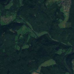
Satellite: Sentinel-2 cloudless 2016 by EOX IT Services GmbH · CC BY 4.0 · Contains modified Copernicus Sentinel data 2016
9.8 km SW

Monrepos Archäologisches Forschungszentrum

Archaeological museum · 1984
Monrepos Archäologisches Forschungszentrum
Hein’s Mühle
Photo: Lothar Spurzem · CC BY-SA 2.0 de · Wikimedia CommonsReport this photo · linked, not stored
9.6 km S

Hein’s Mühle

Hein’s Mühle
Keramikmuseum Westerwald
Photo: LigaDue · CC BY-SA 4.0 · Wikimedia CommonsReport this photo · linked, not stored
11 km SE

Keramikmuseum Westerwald

Keramikmuseum Westerwald