
 Ellebach

Photo: Eschweiler at German Wikipedia · Public domain · Wikimedia Commons
Otterbach (Inde)Report this photo · linked, not stored
Otterbach (Inde)Otterbach (Inde)Report this photo · linked, not stored

Photo: selber erstellt Fotto Okami (Diskussion) · Public domain · Wikimedia Commons
Echtzer SeeReport this photo · linked, not stored
Echtzer SeeEchtzer SeeReport this photo · linked, not stored

Photo: Bodoklecksel · CC BY-SA 3.0 · Wikimedia Commons
MerzbachReport this photo · linked, not stored
MerzbachMerzbachReport this photo · linked, not stored
RiverJülich, North Rhine-Westphalia
Inde
RiverBest May–Jun · Sep
Elevation–above sea level
Length54 kmsource to mouth
Nearest townJülich2.4 km
50.90° N, 6.36° EUTC+1 · Central European Standard Time
When to goJülich · weather score
Best timeMay–Jun · Sep
October: high / low15° / 7°
River
Inde in brief
Inde is a river in Jülich, North Rhine-Westphalia, Germany.
The nearest town is Jülich, 2.4 km to the N, where the weather is best in May, June and September.
Inde is 54 km long.
Weather nearby now
Forecast for Jülich11°
Cloudy now
Today
26 Oct
13°
7°
1 mm
Tue
27 Oct
19°
12°
1 mm
Wed
28 Oct
14°
7°
Thu
29 Oct
15°
5°
Fri
30 Oct
12°
5°
Model run 12:00 UTCRefreshed several times a day
The course of the river
As mapped in OpenStreetMap, with the towns along its banks.- 1Walheim - Hahn277 m
- 2Büsbach258 m
- 3Stolberg185 m
- 4Eschweiler142 m
- 5Langerwehe157 m
- 6Inden107 m
- 7Neu-Pattern114 m
- 8Aldenhoven111 m
- 9Jülich85 m
sourcemouth (or where the mapped line leaves the country)
Map
Inde from above
Nature nearbyAll of Germany

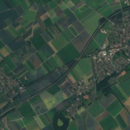
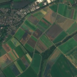
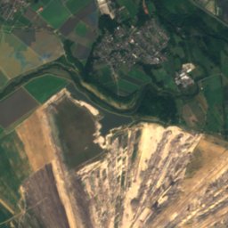
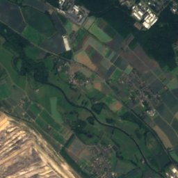
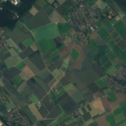
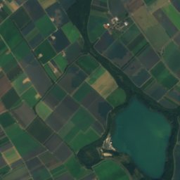
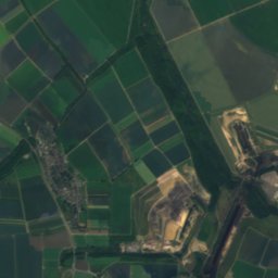
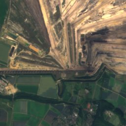
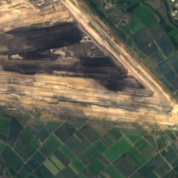
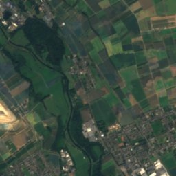
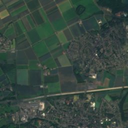
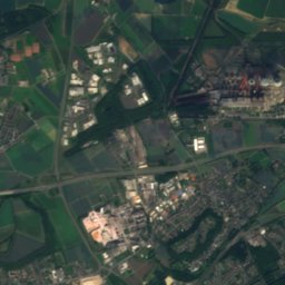
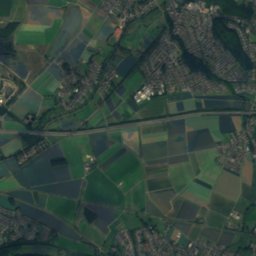
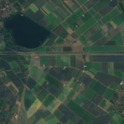
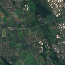
Satellite: Sentinel-2 cloudless 2016 by EOX IT Services GmbH · CC BY 4.0 · Contains modified Copernicus Sentinel data 2016
Photo: Eschweiler at German Wikipedia · Public domain · Wikimedia CommonsReport this photo · linked, not stored

Photo: selber erstellt Fotto Okami (Diskussion) · Public domain · Wikimedia CommonsReport this photo · linked, not stored


Summits nearbyMountains of Germany


Photo: --BBKurt 12:43, 1 August 2007 (UTC) · CC BY-SA 3.0 · Wikimedia CommonsReport this photo · linked, not stored


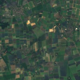
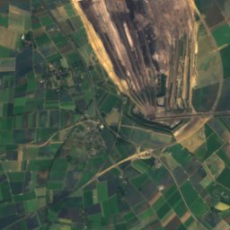
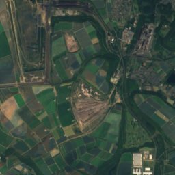
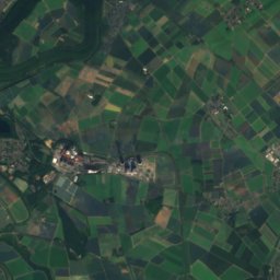
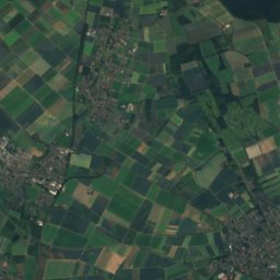
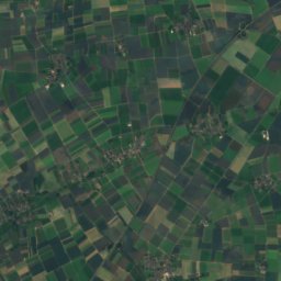
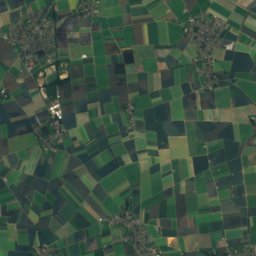
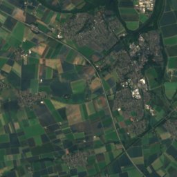
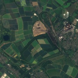
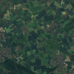
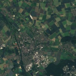
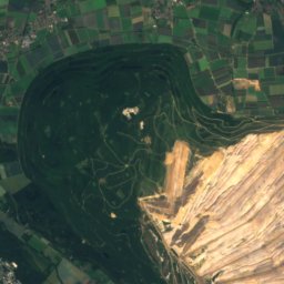
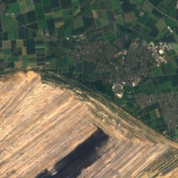
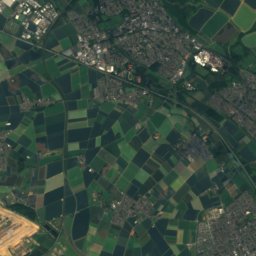
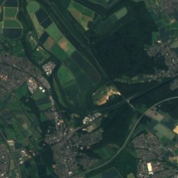
Satellite: Sentinel-2 cloudless 2016 by EOX IT Services GmbH · CC BY 4.0 · Contains modified Copernicus Sentinel data 2016
Stay nearby
Towns close by


Photo: Foto: Käthe und Bernd Limburg, www.limburg-bernd.de / Lizenz: Creative Commons B · CC BY-SA 3.0 de · Wikimedia CommonsReport this photo · linked, not stored
Neu-Pattern
North Rhine-Westphalia · 6.1 km W
15°Oct high
12wet days
49score

Around here
Jülich and around
Nature
Photo: Eschweiler at German Wikipedia · Public domain · Wikimedia CommonsReport this photo · linked, not stored
Otterbach (Inde)
River
Mountains
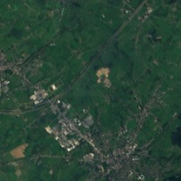
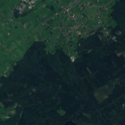
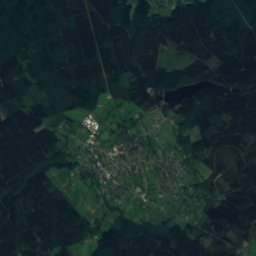
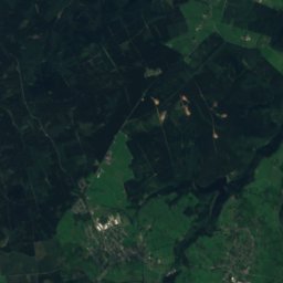
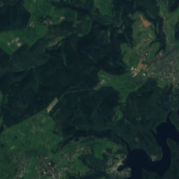
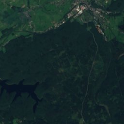
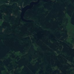
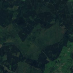
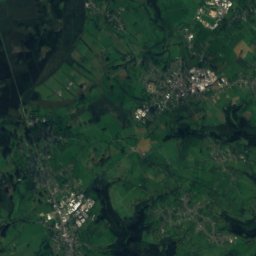
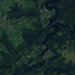
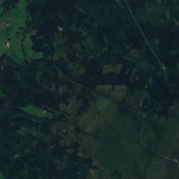
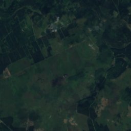
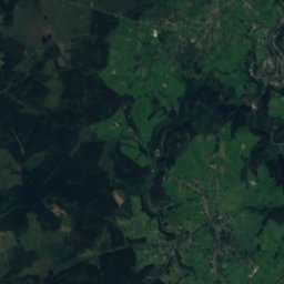
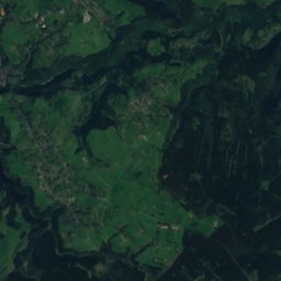
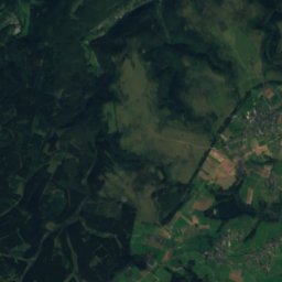
Satellite: Sentinel-2 cloudless 2016 by EOX IT Services GmbH · CC BY 4.0 · Contains modified Copernicus Sentinel data 2016
Steling
658 m · High Fens
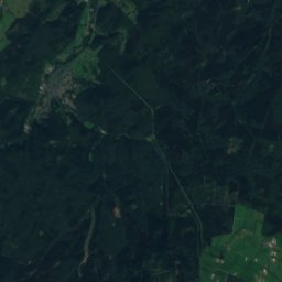
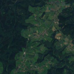
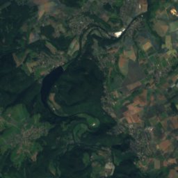
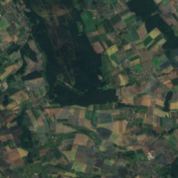
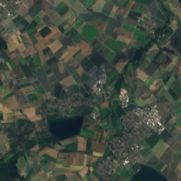
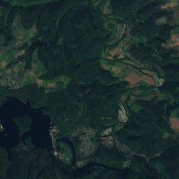
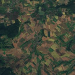
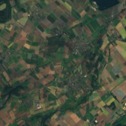
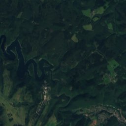
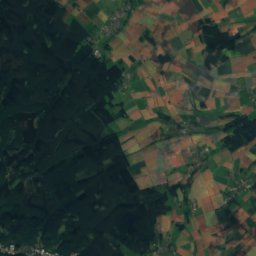
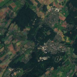
Satellite: Sentinel-2 cloudless 2016 by EOX IT Services GmbH · CC BY 4.0 · Contains modified Copernicus Sentinel data 2016
Verbrannter Berg
516 m · Kermeter

Photo: © Raimond Spekking & Elke Wetzig / CC BY-SA 4.0 (via Wikimedia Commons) · CC BY-SA 4.0 · Wikimedia CommonsReport this photo · linked, not stored
Sonnen-Berg
393 m · Rur Eifel
Heritage

Photo: Foto: Käthe und Bernd Limburg, www.limburg-bernd.de / Lizenz: Creative Commons B · CC BY-SA 3.0 de · Wikimedia CommonsReport this photo · linked, not stored
St. Martinus (Stetternich)
architectural heritage monument in North Rhine-Westphalia

Photo: Foto: Käthe und Bernd Limburg, www.limburg-bernd.de / Lizenz: Creative Commons B · CC BY-SA 3.0 de · Wikimedia CommonsReport this photo · linked, not stored
St. Martinus (Kirchberg)
architectural heritage monument in North Rhine-Westphalia


Satellite: Sentinel-2 cloudless 2016 by EOX IT Services GmbH · CC BY 4.0 · Contains modified Copernicus Sentinel data 2016
Hexenturm, Jülich
architectural heritage monument in North Rhine-Westphalia
Museums
Satellite: Sentinel-2 cloudless 2016 by EOX IT Services GmbH · CC BY 4.0 · Contains modified Copernicus Sentinel data 2016
Stadtgeschichtliches Museum Jülich
Local museum · 1902
Satellite: Sentinel-2 cloudless 2016 by EOX IT Services GmbH · CC BY 4.0 · Contains modified Copernicus Sentinel data 2016
Museum Zitadelle Jülich

Photo: © Raimond Spekking / CC BY-SA 4.0 (via Wikimedia Commons) · CC BY-SA 4.0 · Wikimedia CommonsReport this photo · linked, not stored

Deutsches Glasmalerei-Museum Linnich
1997