Skip to content
Destinations
Weather & climate
Nature
Outdoors
Culture
Events
Sky & live
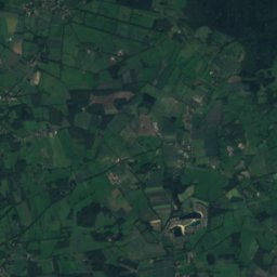
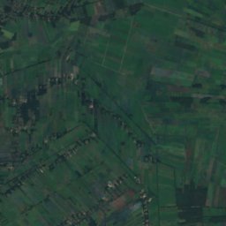
Immer Bäke
Photo: Billboa · CC BY 3.0 · Wikimedia Commons
Immer BäkeReport this photo · linked, not stored
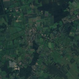
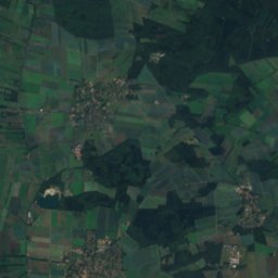
Kimmer Bäke
Photo: Ralf Krebs · CC BY 3.0 · Wikimedia Commons
Kimmer BäkeReport this photo · linked, not stored
Kimmer Bäke
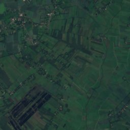
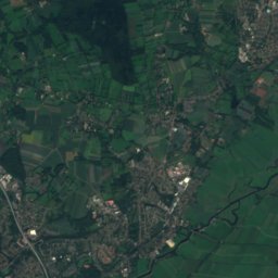
Riede
Photo: Billboa · CC BY 3.0 · Wikimedia Commons
RiedeReport this photo · linked, not stored
Riede
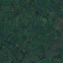
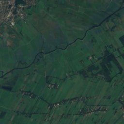
Brookbäke
Photo: Billboa · CC BY 3.0 · Wikimedia Commons
BrookbäkeReport this photo · linked, not stored
Brookbäke
Dummbäke
Photo: Billboa · CC BY 3.0 · Wikimedia Commons
DummbäkeReport this photo · linked, not stored
Dummbäke
RiverGanderkesee, Lower Saxony

Immer Bäke

RiverBest May–Jun · Sep
Elevation–above sea level
Length5.0 kmsource to mouth
Nearest townGanderkesee7.6 km
52.99° N, 8.47° EUTC+2 · Central European Summer Time
When to goGanderkesee · weather score
JanFebMarAprMayJunJulAugSepOctNovDec40October
Best timeMay–Jun · Sep
October: high / low14° / 7°
River

Immer Bäke in brief

Immer Bäke is a river in Ganderkesee, Lower Saxony, Germany.

The nearest town in the atlas is Ganderkesee, 7.6 km to the NE, where the weather is best in May, June and September.

Immer Bäke is 5.0 km long.

Ganderkesee: weather and travel guide

Weather nearby now

Forecast for Ganderkesee
9°
Rain now
Wind17 km/h
Humidity95%
Cloud cover100%
Today
23 Oct
13°
6°
7 mm
Sat
24 Oct
12°
8°
5 mm
Sun
25 Oct
13°
7°
14 mm
Mon
26 Oct
13°
6°
5 mm
Tue
27 Oct
17°
9°
1 mm

Model run 12:00 UTCRefreshed several times a day

When to go

The best months around Immer Bäke

Climate of Ganderkesee

Month score in Ganderkesee

Comfort, dry days and sunshine · out of 100
14
Jan
21
Feb
24
Mar
52
Apr
68
May
64
Jun
64
Jul
64
Aug
66
Sep
40
Oct
15
Nov
13
Dec
Map

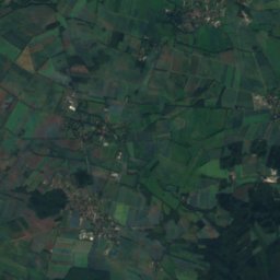
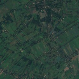
Immer Bäke from above

Nature nearbyAll of Germany
Photo: Ralf Krebs · CC BY 3.0 · Wikimedia CommonsReport this photo · linked, not stored
Kimmer BäkeRiver4.1 kmNWKimmer Bäke
Photo: Billboa · CC BY 3.0 · Wikimedia CommonsReport this photo · linked, not stored
RiedeRiver4.3 kmSRiede
Photo: Billboa · CC BY 3.0 · Wikimedia CommonsReport this photo · linked, not stored
BrookbäkeRiver4.5 kmNBrookbäke
Photo: Billboa · CC BY 3.0 · Wikimedia CommonsReport this photo · linked, not stored
DummbäkeRiver5.2 kmNEDummbäke
Photo: Rieke.meiners · CC BY-SA 4.0 · Wikimedia CommonsReport this photo · linked, not stored
FalkensteinseeLake6.7 kmNFalkensteinsee
Photo: Billboa · CC BY 3.0 · Wikimedia CommonsReport this photo · linked, not stored
Eschenbach, Lower SaxonyRiver7.8 kmSEEschenbach, Lower Saxony
Summits nearbyMountains of Germany
Photo: Bin im Garten · CC BY-SA 3.0 · Wikimedia CommonsReport this photo · linked, not stored
Hoher Berg, Syke22 km E58 mJuly 24°Hoher Berg, Syke
Stay nearby

Towns close by

Ganderkesee
Photo: © Sir Gawain / Wikimedia Commons · CC BY-SA 3.0 · Wikimedia CommonsReport this photo · linked, not stored

Ganderkesee

Lower Saxony · 7.6 km NE
14°Oct high
14wet days
40score
Ganderkesee
Prinzhöfte
Photo: Billboa · CC BY 3.0 · Wikimedia CommonsReport this photo · linked, not stored

Prinzhöfte

Lower Saxony · 7.7 km SE
14°Oct high
13wet days
41score
Prinzhöfte
Dötlingen
Photo: --Frank Poppe 17:39, 24. Mai 2007 (CEST) · Public domain · Wikimedia CommonsReport this photo · linked, not stored

Dötlingen

Lower Saxony · 8.0 km SW
14°Oct high
13wet days
41score
Dötlingen
Hatten
Photo: Jacek Rużyczka · CC BY-SA 3.0 · Wikimedia CommonsReport this photo · linked, not stored

Hatten

Lower Saxony · 9.0 km NW
14°Oct high
14wet days
40score
Hatten
Around here

Ganderkesee and around

Ganderkesee
Photo: © Sir Gawain / Wikimedia Commons · CC BY-SA 3.0 · Wikimedia CommonsReport this photo · linked, not stored

Ganderkesee

Lower Saxony · Germany
May–Jun · Sepbest months
23°July high
28 maltitude
Ganderkesee

Nature

Annenriede
Photo: Billboa · CC BY 3.0 · Wikimedia CommonsReport this photo · linked, not stored
8.2 km NE

Annenriede

River
Annenriede
Varreler Bäke
Photo: Bin im Garten · CC BY-SA 3.0 · Wikimedia CommonsReport this photo · linked, not stored
11 km E

Varreler Bäke

River
Varreler Bäke
Klosterbach, Lower Saxony
Photo: Billboa · CC BY 3.0 · Wikimedia CommonsReport this photo · linked, not stored
11 km E

Klosterbach, Lower Saxony

River
Klosterbach, Lower Saxony

Mountains

Hoher Berg, Syke
Photo: Bin im Garten · CC BY-SA 3.0 · Wikimedia CommonsReport this photo · linked, not stored
19 km SE

Hoher Berg, Syke

58 m
Hoher Berg, Syke
Satellite: Sentinel-2 cloudless 2016 by EOX IT Services GmbH · CC BY 4.0 · Contains modified Copernicus Sentinel data 2016
32 km NE

Weyerberg

54 m
Weyerberg

Heritage
Satellite: Sentinel-2 cloudless 2016 by EOX IT Services GmbH · CC BY 4.0 · Contains modified Copernicus Sentinel data 2016
0.4 km S

St. Cyprian und Cornelius

cultural heritage monument in Lower Saxony · 1200
St. Cyprian und Cornelius
Rathaus Delmenhorst
Photo: Charlie1965nrw at German Wikipedia (Original text: Charlie1965nrw (Karl-Heinz Me · Public domain · Wikimedia CommonsReport this photo · linked, not stored
5.7 km E

Rathaus Delmenhorst

architectural heritage monument in Lower Saxony · 1910
Rathaus Delmenhorst
Heilig-Kreuz-Kirche, Lemwerder
Photo: Ulamm (talk) · CC BY-SA 4.0 · Wikimedia CommonsReport this photo · linked, not stored
12 km N

Heilig-Kreuz-Kirche, Lemwerder

architectural heritage monument in Lower Saxony · 1301
Heilig-Kreuz-Kirche, Lemwerder

Museums

Skulpturenufer
Photo: Gerd Fahrenhorst · CC BY 4.0 · Wikimedia CommonsReport this photo · linked, not stored
9.8 km NW

Skulpturenufer

Sculpture garden · 1992
Skulpturenufer
Satellite: Sentinel-2 cloudless 2016 by EOX IT Services GmbH · CC BY 4.0 · Contains modified Copernicus Sentinel data 2016
6.2 km E

Städtische Galerie Delmenhorst

Art museum · 1974
Städtische Galerie Delmenhorst
Satellite: Sentinel-2 cloudless 2016 by EOX IT Services GmbH · CC BY 4.0 · Contains modified Copernicus Sentinel data 2016
6.5 km E

Nordwestdeutsches Museum für Industriekultur

Nordwestdeutsches Museum für Industriekultur