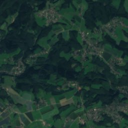
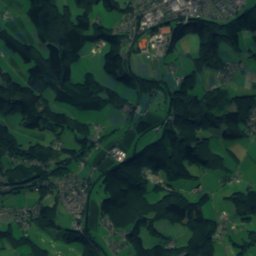
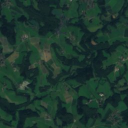
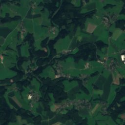
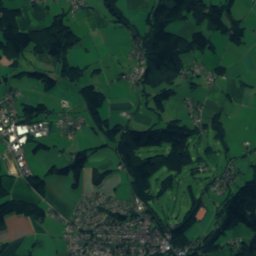
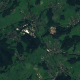
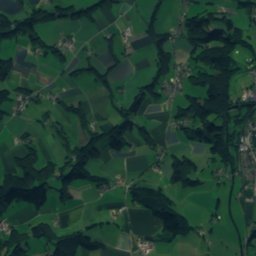
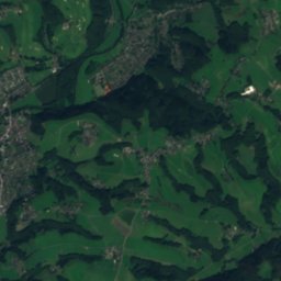
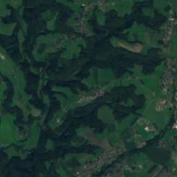
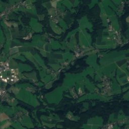
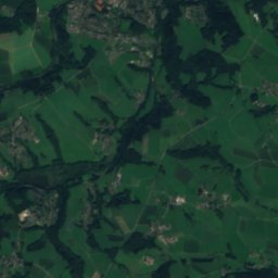
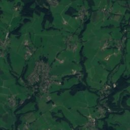
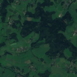
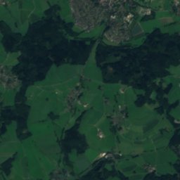
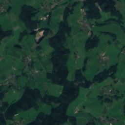
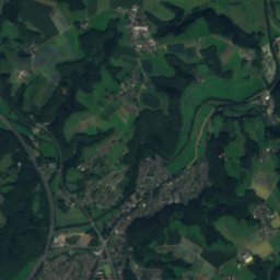
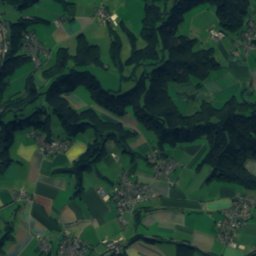
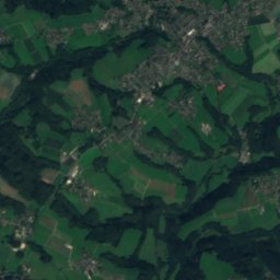
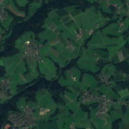
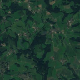
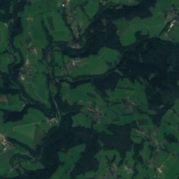
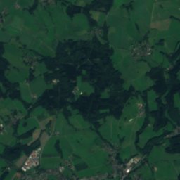
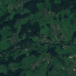
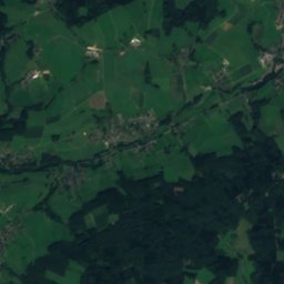
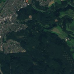
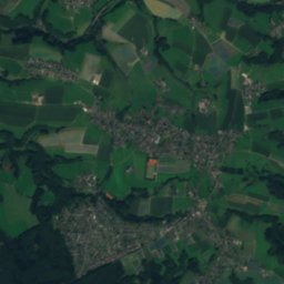
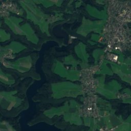
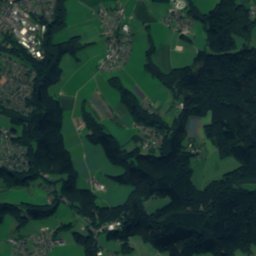
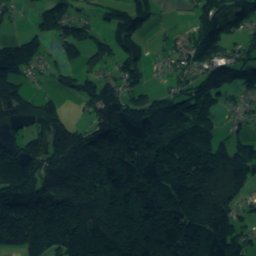
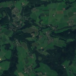
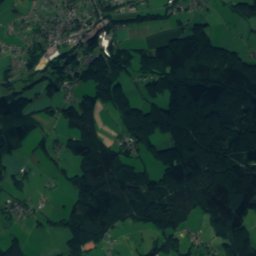
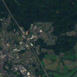
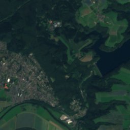
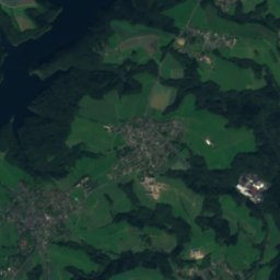
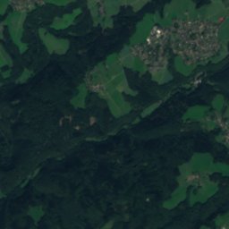
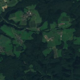
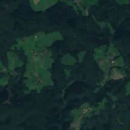
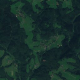
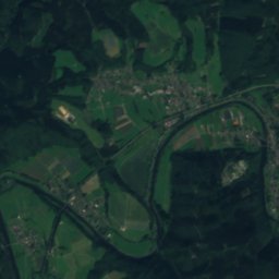
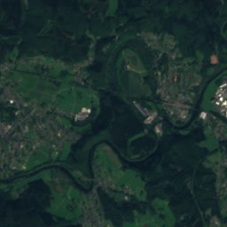
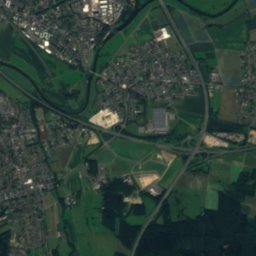
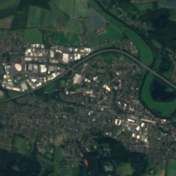
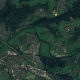
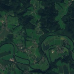
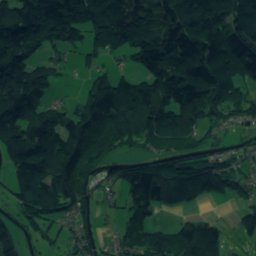
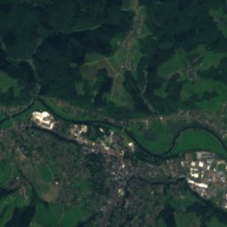
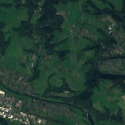
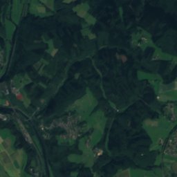
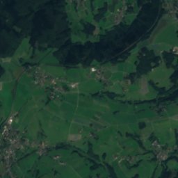
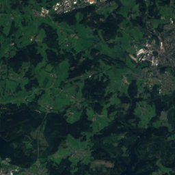
Satellite: Sentinel-2 cloudless 2016 by EOX IT Services GmbH · CC BY 4.0 · Contains modified Copernicus Sentinel data 2016
 Waldbrölbach

Photo: Bernd Olbertz · CC BY-SA 3.0 · Wikimedia Commons
OttersbachReport this photo · linked, not stored
OttersbachOttersbachReport this photo · linked, not stored

Photo: Wander.Blog · CC BY-SA 4.0 · Wikimedia Commons
DerenbachReport this photo · linked, not stored
DerenbachDerenbachReport this photo · linked, not stored

Photo: Tohma (talk) / Loreley007 · Public domain · Wikimedia Commons
Großer ÖlbergReport this photo · linked, not stored
Großer ÖlbergGroßer ÖlbergReport this photo · linked, not stored
RiverRuppichteroth, North Rhine-Westphalia
Hover Bach
RiverBest Jul–Sep
Elevation–above sea level
Length5.0 kmsource to mouth
Nearest townRuppichteroth3.1 km
50.84° N, 7.44° EUTC+2 · Central European Summer Time
When to goRuppichteroth · weather score
Best timeJul–Sep
October: high / low14° / 7°
River
Hover Bach in brief
Hover Bach is a river in Ruppichteroth, North Rhine-Westphalia, Germany.
The nearest town is Ruppichteroth, 3.1 km to the E, where the weather is best in July, August and September.
Hover Bach is 5.0 km long.
Weather nearby now
Forecast for Ruppichteroth11°
Cloudy now
Today
23 Oct
13°
8°
4 mm
Sat
24 Oct
12°
6°
13 mm
Sun
25 Oct
14°
6°
26 mm
Mon
26 Oct
13°
7°
Tue
27 Oct
17°
9°
4 mm
Model run 12:00 UTCRefreshed several times a day
When to go
Climate of RuppichterothThe best months around Hover Bach
Month score in Ruppichteroth
Comfort, dry days and sunshine · out of 10014
Jan
17
Feb
21
Mar
54
Apr
62
May
62
Jun
64
Jul
64
Aug
68
Sep
42
Oct
14
Nov
13
Dec
Map
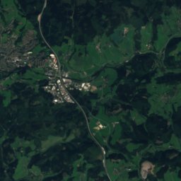
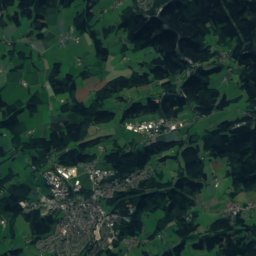
Hover Bach from above
Nature nearbyAll of Germany
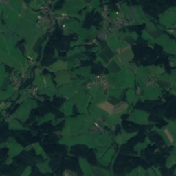
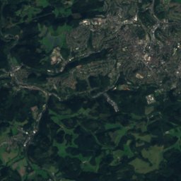
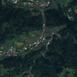
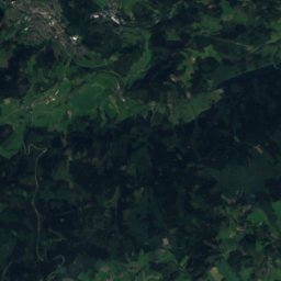
Satellite: Sentinel-2 cloudless 2016 by EOX IT Services GmbH · CC BY 4.0 · Contains modified Copernicus Sentinel data 2016

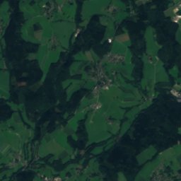
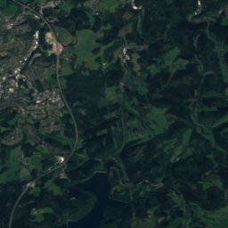
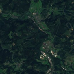
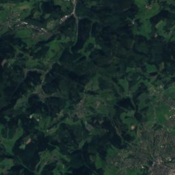
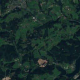
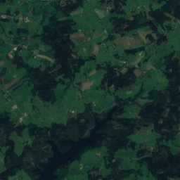
Satellite: Sentinel-2 cloudless 2016 by EOX IT Services GmbH · CC BY 4.0 · Contains modified Copernicus Sentinel data 2016


Summits nearbyMountains of Germany

Photo: Tohma (talk) / Loreley007 · Public domain · Wikimedia CommonsReport this photo · linked, not stored

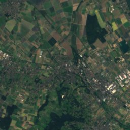
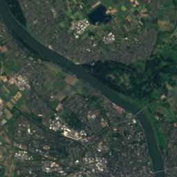
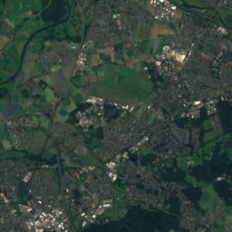
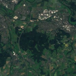
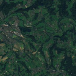
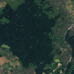
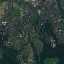
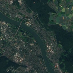
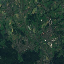
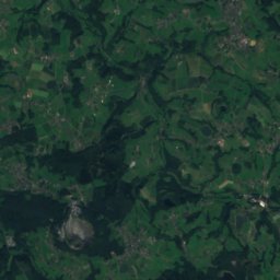
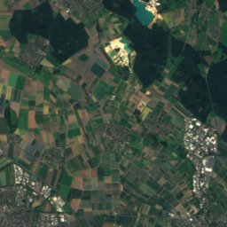
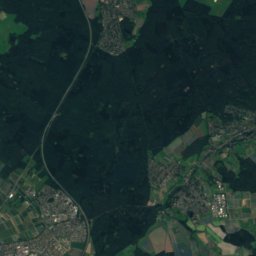
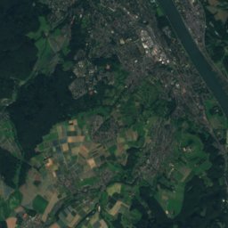
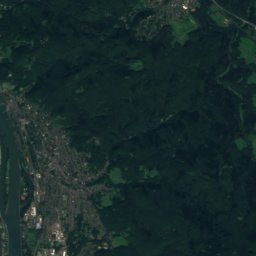
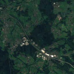
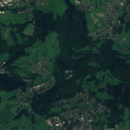
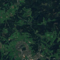
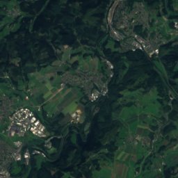
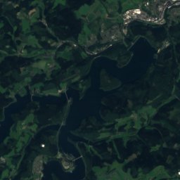
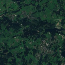
Satellite: Sentinel-2 cloudless 2016 by EOX IT Services GmbH · CC BY 4.0 · Contains modified Copernicus Sentinel data 2016


Stay nearby
Towns close by

Photo: The original uploader was Olbertz at German Wikipedia. (Original text: Olbertz) · CC BY-SA 3.0 · Wikimedia CommonsReport this photo · linked, not stored
Much
North Rhine-Westphalia · 7.5 km N
14°Oct high
13wet days
41score


Photo: Sebastian Hirsch (Diskussion) · CC BY-SA 3.0 · Wikimedia CommonsReport this photo · linked, not stored
Nümbrecht
North Rhine-Westphalia · 10 km NE
14°Oct high
13wet days
38score
Around here
Ruppichteroth and around

Ruppichteroth
North Rhine-Westphalia · Germany
Jul–Sepbest months
24°July high
169 maltitude
Nature

Photo: Bernd Olbertz at de.wikipedia · Attribution · Wikimedia CommonsReport this photo · linked, not stored
Eipbach
River
Mountains

Heritage

Burgruine Herrenbröl
architectural heritage monument in North Rhine-Westphalia

Photo: © Raimond Spekking / CC BY-SA 4.0 (via Wikimedia Commons) · CC BY-SA 4.0 · Wikimedia CommonsReport this photo · linked, not stored
Homburg Castle
architectural heritage monument in North Rhine-Westphalia · 1276

Museums


Photo: Dr. Jörg Kopp, de:Wiehl · CC BY-SA 3.0 · Wikimedia CommonsReport this photo · linked, not stored
