
Photo: Jan Stubenitzky (Dehio) · CC BY-SA 3.0 · Wikimedia Commons
HohlsteinReport this photo · linked, not stored
HohlsteinReport this photo · linked, not stored

Photo: Christoph Braun · CC0 · Wikimedia Commons
Ottersbach (Oberrieder Bach)Report this photo · linked, not stored
Ottersbach (Oberrieder Bach)Ottersbach (Oberrieder Bach)Report this photo · linked, not stored

Photo: Jan Stubenitzky (Dehio) · CC BY-SA 3.0 · Wikimedia Commons
Grüner See, HesseReport this photo · linked, not stored
Grüner See, HesseGrüner See, HesseReport this photo · linked, not stored
 Frau-Holle-Teich

Photo: GeorgDerReisende · CC BY-SA 4.0 · Wikimedia Commons
Kupferbach, HesseReport this photo · linked, not stored
Kupferbach, HesseKupferbach, HesseReport this photo · linked, not stored
CaveBad Sooden-Allendorf, Hesse
Hohlstein
CaveBest May · Aug–Sep
Elevation–above sea level
Inside10°Call year
Nearest townBad Sooden-Allendorf5.5 km
51.27° N, 9.90° EUTC+1 · Central European Standard Time
When to goBad Sooden-Allendorf · weather score
Best timeMay · Aug–Sep
October: high / low14° / 6°
Cave
Hohlstein in brief
Hohlstein is a cave in Bad Sooden-Allendorf, Hesse, Germany.
The nearest town is Bad Sooden-Allendorf, 5.5 km to the E, where the weather is best in May, August and September.
Inside, a cave stays close to the average yearly air temperature outside: about 10°C all year.
Weather nearby now
Forecast for Bad Sooden-Allendorf6°
Clear now
Today
30 Oct
11°
3°
Sat
31 Oct
11°
3°
Sun
1 Nov
9°
3°
Mon
2 Nov
8°
3°
1 mm
Tue
3 Nov
8°
3°
Model run 12:00 UTCRefreshed several times a day
When to go
Climate of Bad Sooden-AllendorfThe best months around Hohlstein
Month score in Bad Sooden-Allendorf
Comfort, dry days and sunshine · out of 10016
Jan
22
Feb
22
Mar
57
Apr
65
May
64
Jun
64
Jul
66
Aug
70
Sep
42
Oct
17
Nov
14
Dec
Map
Hohlstein from above
Nature nearbyAll of Germany


Photo: Jan Stubenitzky (Dehio) · CC BY-SA 3.0 · Wikimedia CommonsReport this photo · linked, not stored
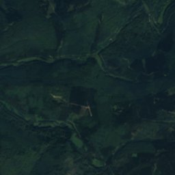
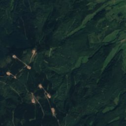
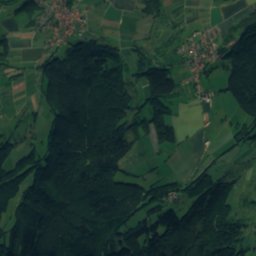
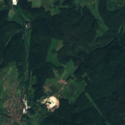
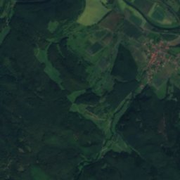
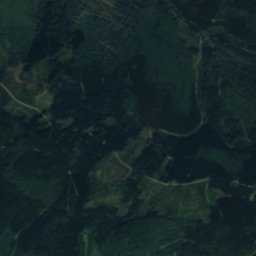
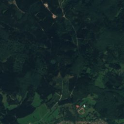
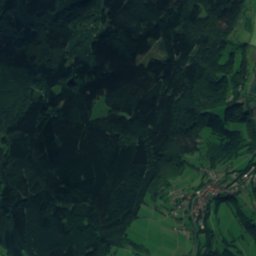
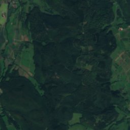
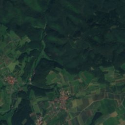
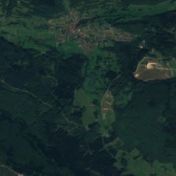
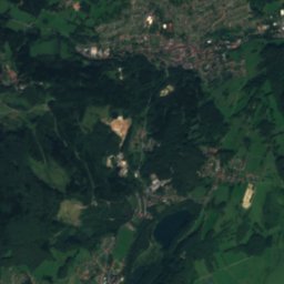
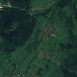
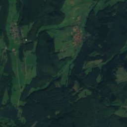
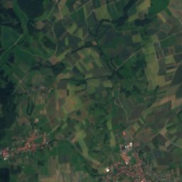
Satellite: Sentinel-2 cloudless 2016 by EOX IT Services GmbH · CC BY 4.0 · Contains modified Copernicus Sentinel data 2016


Summits nearbyMountains of Germany
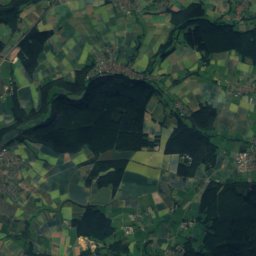
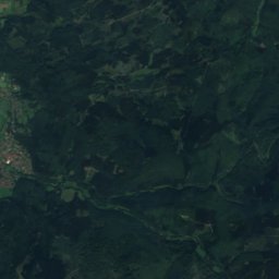
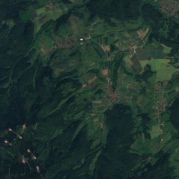
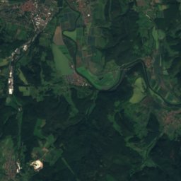
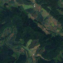
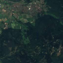
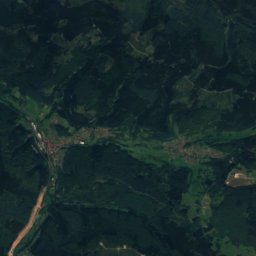
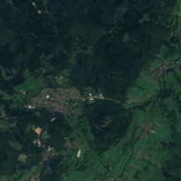
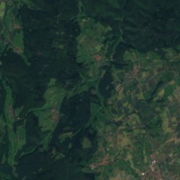
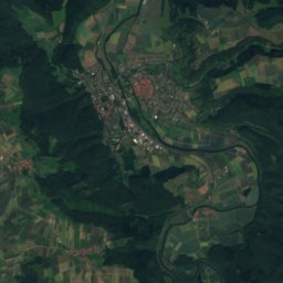
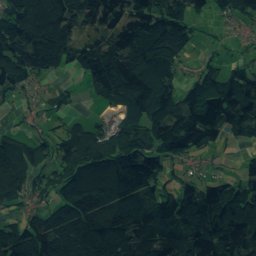
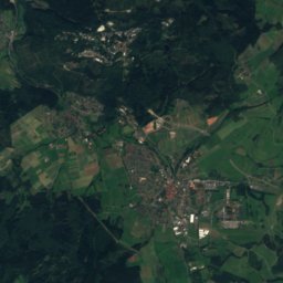
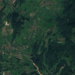
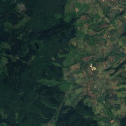
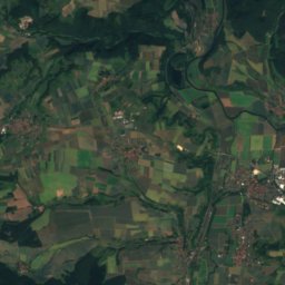
Satellite: Sentinel-2 cloudless 2016 by EOX IT Services GmbH · CC BY 4.0 · Contains modified Copernicus Sentinel data 2016

Photo: © Heinrich Stürzl / Wikimedia Commons · CC BY-SA 4.0 · Wikimedia CommonsReport this photo · linked, not stored


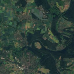
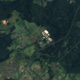
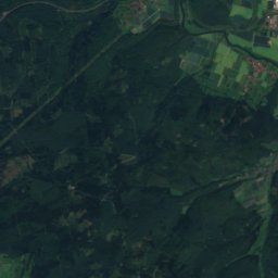
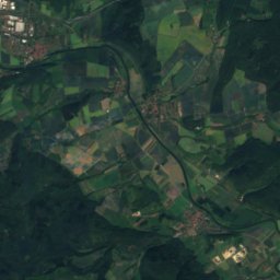
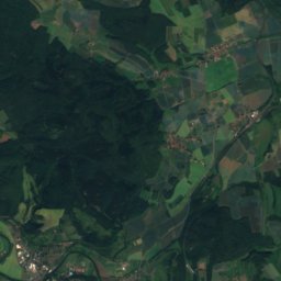
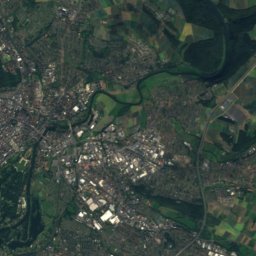
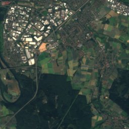
Satellite: Sentinel-2 cloudless 2016 by EOX IT Services GmbH · CC BY 4.0 · Contains modified Copernicus Sentinel data 2016
Stay nearby
Towns close by

Photo: Creando at German Wikipedia · CC BY-SA 2.0 de · Wikimedia CommonsReport this photo · linked, not stored
Bad Sooden-Allendorf
Hesse · 5.5 km E
14°Oct high
12wet days
42score


Around here
Bad Sooden-Allendorf and around
Photo: Creando at German Wikipedia · CC BY-SA 2.0 de · Wikimedia CommonsReport this photo · linked, not stored
Bad Sooden-Allendorf
Hesse · Germany
May · Aug–Sepbest months
25°July high
158 maltitude
Nature
Photo: Jan Stubenitzky (Dehio) · CC BY-SA 3.0 · Wikimedia CommonsReport this photo · linked, not stored
Grüner See, Hesse
Lake · 220 m

Photo: Jan Stubenitzky (Dehio) · CC BY-SA 3.0 · Wikimedia CommonsReport this photo · linked, not stored
Gelster
River · 135 m
Mountains
Satellite: Sentinel-2 cloudless 2016 by EOX IT Services GmbH · CC BY 4.0 · Contains modified Copernicus Sentinel data 2016
Kasseler Kuppe
754 m

Photo: © Heinrich Stürzl / Wikimedia Commons · CC BY-SA 4.0 · Wikimedia CommonsReport this photo · linked, not stored
Hoher Meissner
753 m

Heritage

Evangelische Kirche (Orferode)
cultural heritage monument in Hesse

Photo: Politikundwirtschaft · CC BY-SA 4.0 · Wikimedia CommonsReport this photo · linked, not stored
Kirchstraße 29
cultural heritage monument in Hesse

St. Crucis-Kirche Bad Sooden-Allendorf
cultural heritage monument in Hesse
Museums

Satellite: Sentinel-2 cloudless 2016 by EOX IT Services GmbH · CC BY 4.0 · Contains modified Copernicus Sentinel data 2016
Schifflersgrund


Satellite: Sentinel-2 cloudless 2016 by EOX IT Services GmbH · CC BY 4.0 · Contains modified Copernicus Sentinel data 2016
Salzmuseum
1979