Skip to content
Destinations
Weather & climate
Nature
Outdoors
Culture
Events
Sky & live
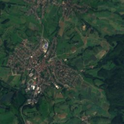
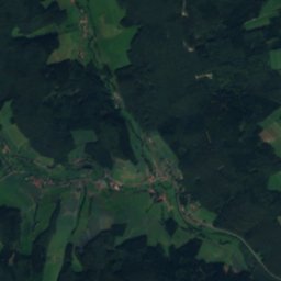
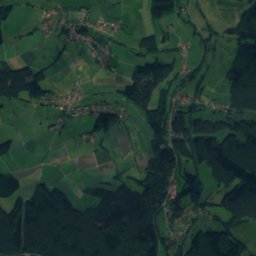
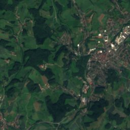
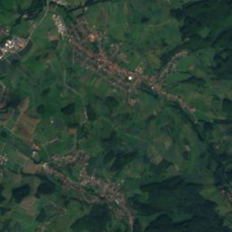
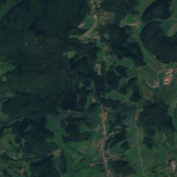
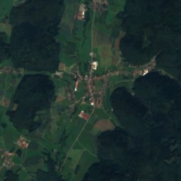
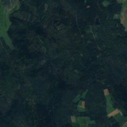
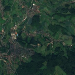
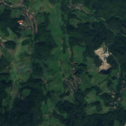
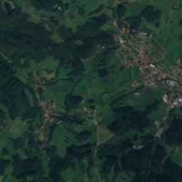
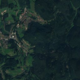
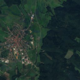
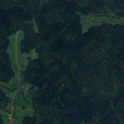
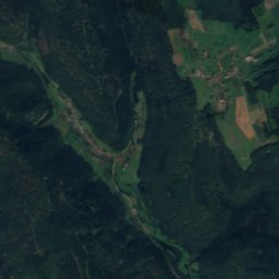
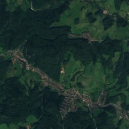
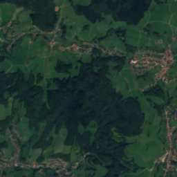
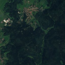
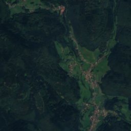
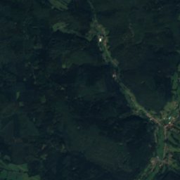
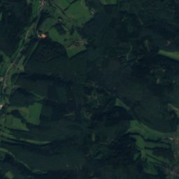
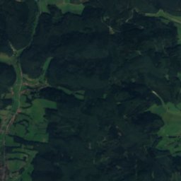
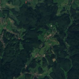
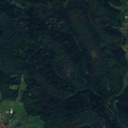
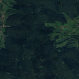
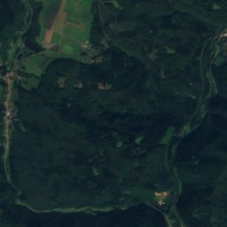
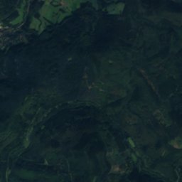
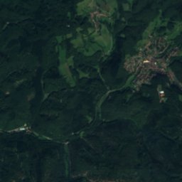
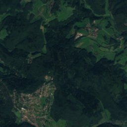
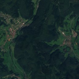
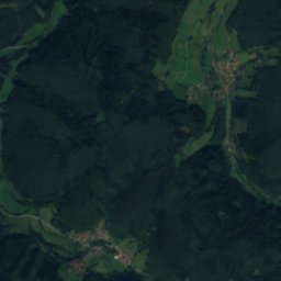
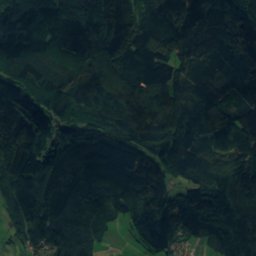
Satellite: Sentinel-2 cloudless 2016 by EOX IT Services GmbH · CC BY 4.0 · Contains modified Copernicus Sentinel data 2016
Gammelsbach
Photo: Thiotrix · CC BY-SA 4.0 · Wikimedia Commons
GammelsbachReport this photo · linked, not stored
Gammelsbach
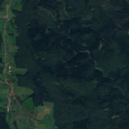
Mümling
Photo: presse03 · CC BY-SA 3.0 · Wikimedia Commons
MümlingReport this photo · linked, not stored
Mümling
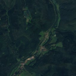
Gretengraben
Photo: © Freak-Line-Community / Wikimedia Commons · CC BY-SA 3.0 · Wikimedia Commons
GretengrabenReport this photo · linked, not stored
Gretengraben
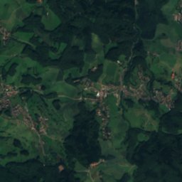
Itter, Baden-Wurttemberg
Photo: © Freak-Line-Community / Wikimedia Commons · CC BY-SA 3.0 · Wikimedia Commons
Itter, Baden-WurttembergReport this photo · linked, not stored
Itter, Baden-Wurttemberg
RiverRothenberg, Hesse

Hinterbach

RiverBest Jun · Aug–Sep
Elevation–above sea level
Length9.5 kmsource to mouth
Nearest townRothenberg3.8 km
49.53° N, 8.92° EUTC+1 · Central European Standard Time
When to goRothenberg · weather score
JanFebMarAprMayJunJulAugSepOctNovDec41October
Best timeJun · Aug–Sep
October: high / low14° / 6°
River

Hinterbach in brief

Hinterbach is a river in Rothenberg, Hesse, Germany.

The nearest town is Rothenberg, 3.8 km to the S, where the weather is best in June, August and September.

Hinterbach is 9.5 km long.

Rothenberg: weather and travel guide

Weather nearby now

Forecast for Rothenberg
5°
Cloudy now
Wind13 km/h
Humidity97%
Cloud cover81%
Today
26 Oct
11°
4°
1 mm
Tue
27 Oct
16°
6°
Wed
28 Oct
13°
5°
Thu
29 Oct
13°
3°
Fri
30 Oct
10°
3°

Model run 12:00 UTCRefreshed several times a day

When to go

The best months around Hinterbach

Climate of Rothenberg

Month score in Rothenberg

Comfort, dry days and sunshine · out of 100
16
Jan
24
Feb
24
Mar
52
Apr
65
May
67
Jun
66
Jul
68
Aug
74
Sep
41
Oct
20
Nov
14
Dec
Map

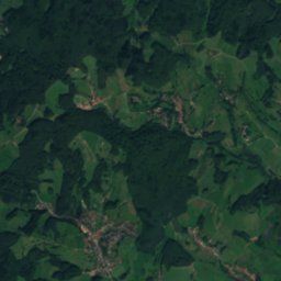
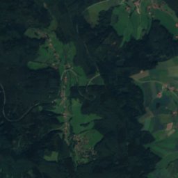
Hinterbach from above

Nature nearbyAll of Germany
Photo: Thiotrix · CC BY-SA 4.0 · Wikimedia CommonsReport this photo · linked, not stored
GammelsbachRiver5.6 kmNEGammelsbach
Photo: presse03 · CC BY-SA 3.0 · Wikimedia CommonsReport this photo · linked, not stored
MümlingRiver5.8 kmNEMümling
Photo: © Freak-Line-Community / Wikimedia Commons · CC BY-SA 3.0 · Wikimedia CommonsReport this photo · linked, not stored
GretengrabenRiver7.9 kmNEGretengraben
Photo: © Freak-Line-Community / Wikimedia Commons · CC BY-SA 3.0 · Wikimedia CommonsReport this photo · linked, not stored
Itter, Baden-WurttembergRiver8.8 kmSEItter, Baden-Wurttemberg
Photo: Unknown author · CC BY-SA 3.0 · Wikimedia CommonsReport this photo · linked, not stored
MarbachstauseeLake9.4 kmNEMarbachstausee
Photo: © Freak-Line-Community / Wikimedia Commons · CC BY-SA 3.0 · Wikimedia CommonsReport this photo · linked, not stored
Finkenbach, HesseRiver9.7 kmSFinkenbach, Hesse
Summits nearbyMountains of Germany
Photo: Dirk Schmidt · CC BY-SA 3.0 · Wikimedia CommonsReport this photo · linked, not stored
Katzenbuckel11 km SE626 mJuly 23°Katzenbuckel
Photo: Jörg Braukmann Milseburg · CC BY-SA 3.0 · Wikimedia CommonsReport this photo · linked, not stored
Neunkircher Höhe23 km NW605 mJuly 22°Neunkircher Höhe
Photo: Jörg Braukmann · CC BY-SA 4.0 · Wikimedia CommonsReport this photo · linked, not stored
Hardberg (Odenwald)8.1 km W593 mJuly 23°Hardberg (Odenwald)
Photo: Arne Hückelheim · CC BY-SA 3.0 · Wikimedia CommonsReport this photo · linked, not stored
Stiefelhöhe8.2 km W587 mJuly 23°Stiefelhöhe
Photo: WanderDan · CC0 · Wikimedia CommonsReport this photo · linked, not stored
Markgrafenwald15 km SE585 mJuly 23°Markgrafenwald
Photo: Arzio · CC BY-SA 3.0 · Wikimedia CommonsReport this photo · linked, not stored
Hart15 km E581 mJuly 23°Hart
Stay nearby

Towns close by

Rothenberg
Photo: Haselburg-müller · CC BY-SA 3.0 · Wikimedia CommonsReport this photo · linked, not stored

Rothenberg

Hesse · 3.8 km S
14°Oct high
12wet days
41score
Rothenberg
Oberzent
Photo: Brühl · Public domain · Wikimedia CommonsReport this photo · linked, not stored

Oberzent

Hesse · 5.7 km NE
13°Oct high
11wet days
41score
Oberzent
Beerfelden
Photo: Commander-pirx at German Wikipedia · CC BY-SA 3.0 · Wikimedia CommonsReport this photo · linked, not stored

Beerfelden

Hesse · 5.8 km NE
13°Oct high
11wet days
41score
Beerfelden
Wald-Michelbach
Photo: Julius Rückert. · CC BY-SA 3.0 · Wikimedia CommonsReport this photo · linked, not stored

Wald-Michelbach

Hesse · 7.3 km NW
14°Oct high
11wet days
44score
Wald-Michelbach
Around here

Rothenberg and around

Rothenberg
Photo: Haselburg-müller · CC BY-SA 3.0 · Wikimedia CommonsReport this photo · linked, not stored

Rothenberg

Hesse · Germany
Jun · Aug–Sepbest months
24°July high
416 maltitude
Rothenberg

Nature

Mümling
Photo: presse03 · CC BY-SA 3.0 · Wikimedia CommonsReport this photo · linked, not stored
8.7 km NE

Mümling

River
Mümling
Itter, Baden-Wurttemberg
Photo: © Freak-Line-Community / Wikimedia Commons · CC BY-SA 3.0 · Wikimedia CommonsReport this photo · linked, not stored
5.6 km SE

Itter, Baden-Wurttemberg

River
Itter, Baden-Wurttemberg
Finkenbach, Hesse
Photo: © Freak-Line-Community / Wikimedia Commons · CC BY-SA 3.0 · Wikimedia CommonsReport this photo · linked, not stored
6.0 km S

Finkenbach, Hesse

River · 127 m
Finkenbach, Hesse

Mountains

Katzenbuckel
Photo: Dirk Schmidt · CC BY-SA 3.0 · Wikimedia CommonsReport this photo · linked, not stored
9.4 km E

Katzenbuckel

626 m · Odenwald
Katzenbuckel
Neunkircher Höhe
Photo: Jörg Braukmann Milseburg · CC BY-SA 3.0 · Wikimedia CommonsReport this photo · linked, not stored
27 km NW

Neunkircher Höhe

605 m · Odenwald
Neunkircher Höhe
Hardberg (Odenwald)
Photo: Jörg Braukmann · CC BY-SA 4.0 · Wikimedia CommonsReport this photo · linked, not stored
9.5 km NW

Hardberg (Odenwald)

593 m · Odenwald
Hardberg (Odenwald)

Heritage

Stellsteinreihe
Photo: Telford · CC BY-SA 3.0 · Wikimedia CommonsReport this photo · linked, not stored
1.5 km SW

Stellsteinreihe

cultural heritage monument in Hesse
Stellsteinreihe
Gutleuthofkapelle
Photo: 4028mdk09 · CC BY-SA 3.0 · Wikimedia CommonsReport this photo · linked, not stored
15 km SW

Gutleuthofkapelle

Kulturdenkmal · 1430
Gutleuthofkapelle
Herz-Jesu-Kirche, Wilhelmsfeld
Photo: Markus Bissinger · CC BY 3.0 · Wikimedia CommonsReport this photo · linked, not stored
13 km W

Herz-Jesu-Kirche, Wilhelmsfeld

Kulturdenkmal
Herz-Jesu-Kirche, Wilhelmsfeld

Museums

Sculpture Park Heidelberg
Photo: Hans-Michael Kissel · CC BY-SA 3.0 de · Wikimedia CommonsReport this photo · linked, not stored
14 km SW

Sculpture Park Heidelberg

Sculpture garden
Sculpture Park Heidelberg
Grube Ludwig
Photo: Agricolax · CC0 · Wikimedia CommonsReport this photo · linked, not stored
8.8 km NW

Grube Ludwig

Grube Ludwig
Satellite: Sentinel-2 cloudless 2016 by EOX IT Services GmbH · CC BY 4.0 · Contains modified Copernicus Sentinel data 2016
8.6 km NE

Museum der Oberzent

Museum der Oberzent