Skip to content
Destinations
Weather & climate
Nature
Outdoors
Culture
Events
Sky & live
Hasel, Thuringia
Photo: Sores · Public domain · Wikimedia Commons
Hasel, ThuringiaReport this photo · linked, not stored
Bibra
Photo: Heiko4 · CC BY-SA 4.0 · Wikimedia Commons
BibraReport this photo · linked, not stored
Bibra
Bakuninhütte
Photo: Wikikaric · CC BY-SA 3.0 · Wikimedia Commons
BakuninhütteReport this photo · linked, not stored
Bakuninhütte
Goetz-Höhle
Photo: Kramer96 · CC BY-SA 3.0 · Wikimedia Commons
Goetz-HöhleReport this photo · linked, not stored
Goetz-Höhle
Schönau
Photo: Störfix · CC BY-SA 3.0 · Wikimedia Commons
SchönauReport this photo · linked, not stored
Schönau
RiverEinhausen, Thuringia

Hasel, Thuringia

RiverBest May · Aug–Sep
Elevation–above sea level
Length26 kmsource to mouth
Nearest townEinhausen0.6 km
50.53° N, 10.46° EUTC+2 · Central European Summer Time
When to goEinhausen · weather score
JanFebMarAprMayJunJulAugSepOctNovDec39October
Best timeMay · Aug–Sep
October: high / low13° / 5°
River

Hasel, Thuringia in brief

Hasel, Thuringia is a river in Einhausen, Thuringia, Germany.

The nearest town is Einhausen, 0.6 km to the NE, where the weather is best in May, August and September.

Hasel, Thuringia is 26 km long.

Einhausen: weather and travel guide

Weather nearby now

Forecast for Einhausen
10°
Rain now
Wind26 km/h
Humidity68%
Cloud cover89%
Today
23 Oct
11°
4°
3 mm
Sat
24 Oct
9°
4°
7 mm
Sun
25 Oct
12°
6°
23 mm
Mon
26 Oct
12°
5°
Tue
27 Oct
16°
6°
1 mm

Model run 12:00 UTCRefreshed several times a day

The course of the river

As mapped in OpenStreetMap, with the towns along its banks.
sourcemouth (or where the mapped line leaves the country)
When to go

The best months around Hasel, Thuringia

Climate of Einhausen

Month score in Einhausen

Comfort, dry days and sunshine · out of 100
15
Jan
22
Feb
22
Mar
54
Apr
65
May
65
Jun
65
Jul
68
Aug
71
Sep
39
Oct
18
Nov
13
Dec
Map

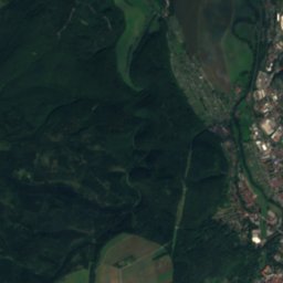
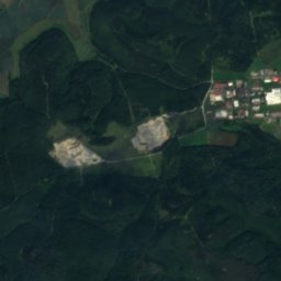
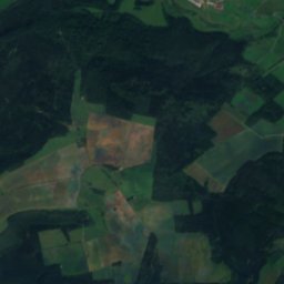
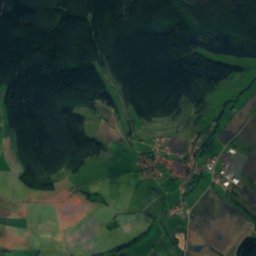
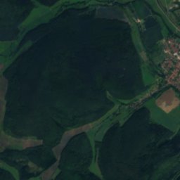
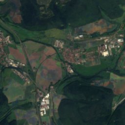
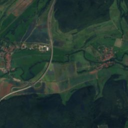
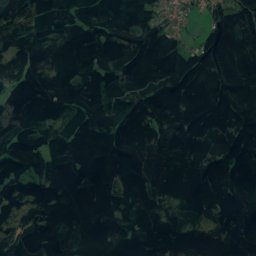
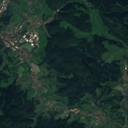
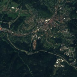
Hasel, Thuringia from above

Nature nearbyAll of Germany
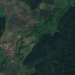
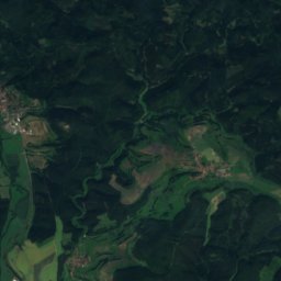
Satellite: Sentinel-2 cloudless 2016 by EOX IT Services GmbH · CC BY 4.0 · Contains modified Copernicus Sentinel data 2016
JüchseRiver1.3 kmWJüchse
Photo: Heiko4 · CC BY-SA 4.0 · Wikimedia CommonsReport this photo · linked, not stored
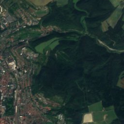
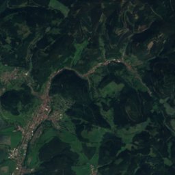
BibraRiver2.2 kmSBibra
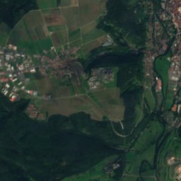
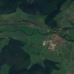
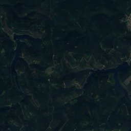
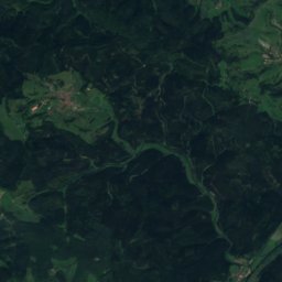
Satellite: Sentinel-2 cloudless 2016 by EOX IT Services GmbH · CC BY 4.0 · Contains modified Copernicus Sentinel data 2016
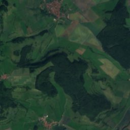
Sülze, ThuringiaRiver4.0 kmNWSülze, Thuringia
Photo: Wikikaric · CC BY-SA 3.0 · Wikimedia CommonsReport this photo · linked, not stored
BakuninhütteMountain hut4.2 kmNBakuninhütte
Photo: Kramer96 · CC BY-SA 3.0 · Wikimedia CommonsReport this photo · linked, not stored
Goetz-HöhleCave5.6 kmNWGoetz-Höhle
Photo: Störfix · CC BY-SA 3.0 · Wikimedia CommonsReport this photo · linked, not stored
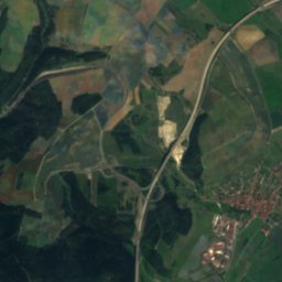
SchönauRiver6.3 kmNESchönau
Summits nearbyMountains of Germany
Photo: Elop · CC BY-SA 2.5 · Wikimedia CommonsReport this photo · linked, not stored
Neuhäuser Hügel24 km E891 mJuly 20°Neuhäuser Hügel
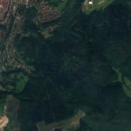
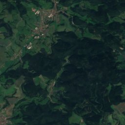
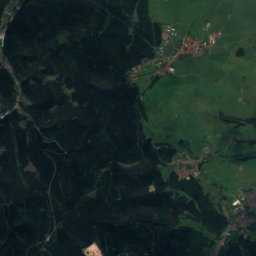
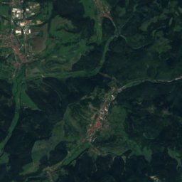
Satellite: Sentinel-2 cloudless 2016 by EOX IT Services GmbH · CC BY 4.0 · Contains modified Copernicus Sentinel data 2016
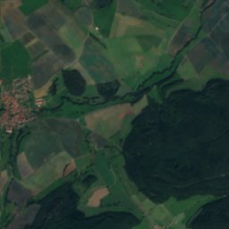
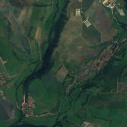
Ruppberg22 km NE866 mJuly 20°Ruppberg
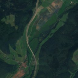
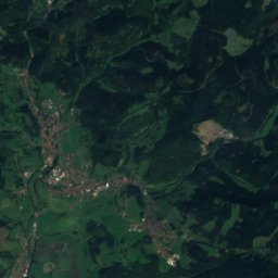
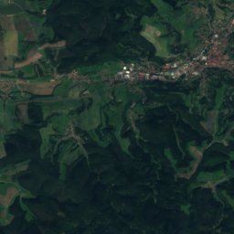
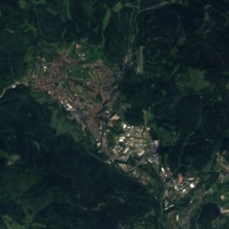
Satellite: Sentinel-2 cloudless 2016 by EOX IT Services GmbH · CC BY 4.0 · Contains modified Copernicus Sentinel data 2016
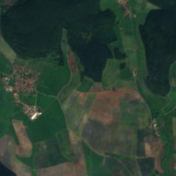
Salzberg, Thuringia24 km NE866 mJuly 20°Salzberg, Thuringia
Satellite: Sentinel-2 cloudless 2016 by EOX IT Services GmbH · CC BY 4.0 · Contains modified Copernicus Sentinel data 2016
Großer Erleshügel23 km NE839 mJuly 20°Großer Erleshügel
Satellite: Sentinel-2 cloudless 2016 by EOX IT Services GmbH · CC BY 4.0 · Contains modified Copernicus Sentinel data 2016
Döllberg21 km NE760 mJuly 21°Döllberg
Photo: Jörg Braukmann · CC BY-SA 3.0 · Wikimedia CommonsReport this photo · linked, not stored
Gebaberg15 km NW751 mJuly 21°Gebaberg
Stay nearby

Towns close by

Einhausen
Photo: Michael Köhler · CC BY 4.0 · Wikimedia CommonsReport this photo · linked, not stored

Einhausen

Thuringia · 0.6 km NE
13°Oct high
12wet days
39score
Einhausen
Obermaßfeld-Grimmenthal
Photo: Tilman2007 · CC BY-SA 4.0 · Wikimedia CommonsReport this photo · linked, not stored

Obermaßfeld-Grimmenthal

Thuringia · 1.1 km W
13°Oct high
12wet days
39score
Obermaßfeld-Grimmenthal
Ritschenhausen
Photo: DWRueger · CC BY-SA 4.0 · Wikimedia CommonsReport this photo · linked, not stored

Ritschenhausen

Thuringia · 2.4 km SW
13°Oct high
12wet days
39score
Ritschenhausen
Untermaßfeld
Photo: Winfried Gaenssler · CC BY-SA 3.0 · Wikimedia CommonsReport this photo · linked, not stored

Untermaßfeld

Thuringia · 2.8 km W
13°Oct high
12wet days
39score
Untermaßfeld
Around here

Einhausen and around

Einhausen
Photo: Michael Köhler · CC BY 4.0 · Wikimedia CommonsReport this photo · linked, not stored

Einhausen

Thuringia · Germany
May · Aug–Sepbest months
24°July high
307 maltitude
Einhausen

Nature

Bibra
Photo: Heiko4 · CC BY-SA 4.0 · Wikimedia CommonsReport this photo · linked, not stored
2.6 km SW

Bibra

River · 310 m
Bibra
Herpf
Photo: Bikerhiker75 · CC BY-SA 4.0 · Wikimedia CommonsReport this photo · linked, not stored
9.8 km NW

Herpf

River
Herpf
Goetz-Höhle
Photo: Kramer96 · CC BY-SA 3.0 · Wikimedia CommonsReport this photo · linked, not stored
5.7 km NW

Goetz-Höhle

Cave
Goetz-Höhle

Mountains

Großer Beerberg
Photo: Elop · CC BY-SA 2.5 · Wikimedia CommonsReport this photo · linked, not stored
25 km NE

Großer Beerberg

983 m · Thuringian Forest
Großer Beerberg
Wasserkuppe
Photo: Jörg Braukmann · CC BY-SA 4.0 · Wikimedia CommonsReport this photo · linked, not stored
37 km W

Wasserkuppe

950 m · Wasserkuppen Rhön
Wasserkuppe
Großer Finsterberg
Photo: Elop · CC BY-SA 2.5 · Wikimedia CommonsReport this photo · linked, not stored
27 km NE

Großer Finsterberg

944 m · Thuringian Forest
Großer Finsterberg

Heritage

St. Stephan (Obermaßfeld)
Photo: Tilman2007 · CC BY-SA 4.0 · Wikimedia CommonsReport this photo · linked, not stored
1.5 km W

St. Stephan (Obermaßfeld)

Heritage monument in Thuringia
St. Stephan (Obermaßfeld)
Satellite: Sentinel-2 cloudless 2016 by EOX IT Services GmbH · CC BY 4.0 · Contains modified Copernicus Sentinel data 2016
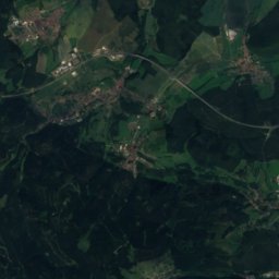
2.2 km N

Castle Ellingshausen

Heritage monument in Thuringia
Castle Ellingshausen
Protestant Church (Ritschenhausen)
Photo: Wikitarisch · CC BY 4.0 · Wikimedia CommonsReport this photo · linked, not stored
2.9 km SW

Protestant Church (Ritschenhausen)

Heritage monument in Thuringia
Protestant Church (Ritschenhausen)

Museums

Theatermuseum Meiningen
Photo: Photo: Andreas Praefcke · CC BY 3.0 · Wikimedia CommonsReport this photo · linked, not stored
5.8 km NW

Theatermuseum Meiningen

Theatre museum
Theatermuseum Meiningen
Dampflok Erlebniswelt Meiningen
Photo: Kramer96 · CC BY 3.0 · Wikimedia CommonsReport this photo · linked, not stored
6.6 km NW

Dampflok Erlebniswelt Meiningen

Technology museum · 2024
Dampflok Erlebniswelt Meiningen
Märchen- und Sandsteinhöhle Walldorf
Photo: Tkarcher · CC BY-SA 3.0 · Wikimedia CommonsReport this photo · linked, not stored
11 km NW

Märchen- und Sandsteinhöhle Walldorf

Show mine
Märchen- und Sandsteinhöhle Walldorf