Skip to content
Destinations
Weather & climate
Nature
Outdoors
Culture
Events
Sky & live
Hälver
Photo: Marvo · CC BY-SA 4.0 · Wikimedia Commons
HälverReport this photo · linked, not stored
Halver Hülloch
Photo: Frank Vincentz · CC BY-SA 3.0 · Wikimedia Commons
Halver HüllochReport this photo · linked, not stored
Halver Hülloch
Ennepe
Photo: Frank Vincentz · CC BY-SA 3.0 · Wikimedia Commons
EnnepeReport this photo · linked, not stored
Ennepe
Bever (Wupper)
Photo: Frank Vincentz · CC BY-SA 3.0 · Wikimedia Commons
Bever (Wupper)Report this photo · linked, not stored
Bever (Wupper)
Nordhelle (Ebbe Mountains)
Photo: Milseburg · CC BY-SA 3.0 · Wikimedia Commons
Nordhelle (Ebbe Mountains)Report this photo · linked, not stored
Nordhelle (Ebbe Mountains)
RiverHalver, North Rhine-Westphalia

Hälver

RiverBest Jul–Sep
Elevation–above sea level
Length8.6 kmsource to mouth
Nearest townHalver0.9 km
51.19° N, 7.51° EUTC+2 · Central European Summer Time
When to goHalver · weather score
JanFebMarAprMayJunJulAugSepOctNovDec34October
Best timeJul–Sep
October: high / low13° / 6°
River

Hälver in brief

Hälver is a river in Halver, North Rhine-Westphalia, Germany.

The nearest town is Halver, 0.9 km to the W, where the weather is best in July, August and September.

Hälver is 8.6 km long.

Halver: weather and travel guide

Weather nearby now

Forecast for Halver
6°
Cloudy now
Wind25 km/h
Humidity100%
Cloud cover100%
Today
24 Oct
10°
4°
14 mm
Sun
25 Oct
12°
6°
36 mm
Mon
26 Oct
11°
5°
3 mm
Tue
27 Oct
16°
8°
1 mm
Wed
28 Oct
12°
6°
1 mm

Model run 12:00 UTCRefreshed several times a day

When to go

The best months around Hälver

Climate of Halver

Month score in Halver

Comfort, dry days and sunshine · out of 100
12
Jan
16
Feb
17
Mar
45
Apr
58
May
61
Jun
62
Jul
63
Aug
63
Sep
34
Oct
12
Nov
10
Dec
Map

Hälver from above

Nature nearbyAll of Germany
Photo: Frank Vincentz · CC BY-SA 3.0 · Wikimedia CommonsReport this photo · linked, not stored
Halver HüllochCave2.2 kmNWHalver Hülloch
Photo: Frank Vincentz · CC BY-SA 3.0 · Wikimedia CommonsReport this photo · linked, not stored
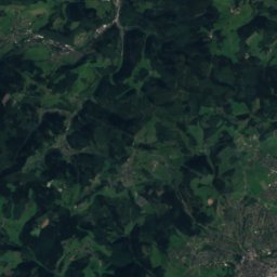
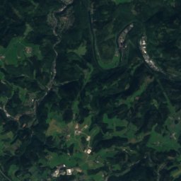
EnnepeRiver2.3 kmSEnnepe
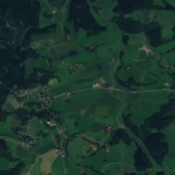
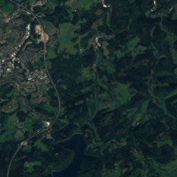
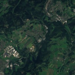
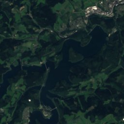
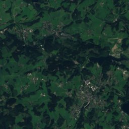
Satellite: Sentinel-2 cloudless 2016 by EOX IT Services GmbH · CC BY 4.0 · Contains modified Copernicus Sentinel data 2016
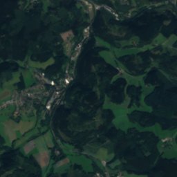
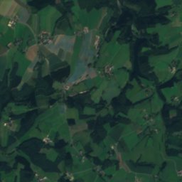
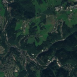
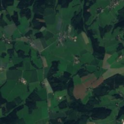
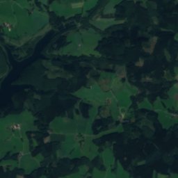
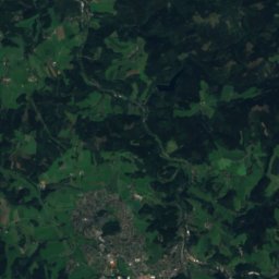
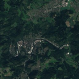
SchmalenbachRiver3.2 kmWSchmalenbach
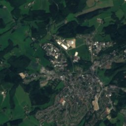
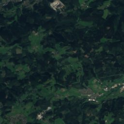
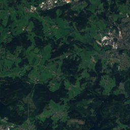
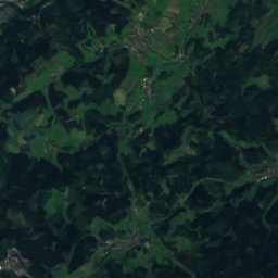
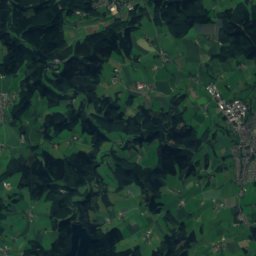
Satellite: Sentinel-2 cloudless 2016 by EOX IT Services GmbH · CC BY 4.0 · Contains modified Copernicus Sentinel data 2016
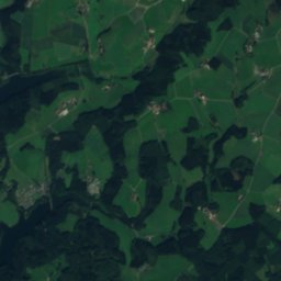
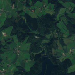
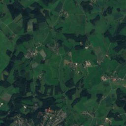
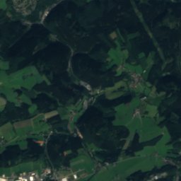
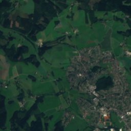
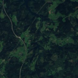
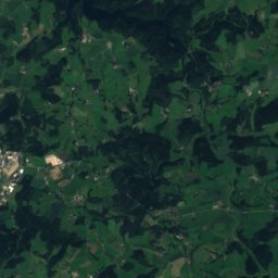
HönnigeRiver3.6 kmSHönnige
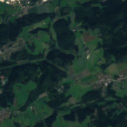
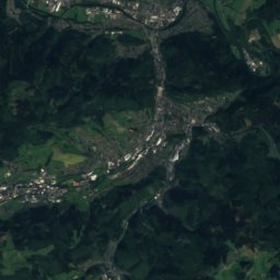
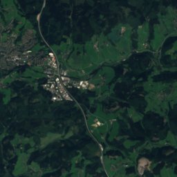
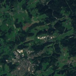
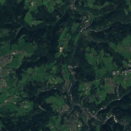
Satellite: Sentinel-2 cloudless 2016 by EOX IT Services GmbH · CC BY 4.0 · Contains modified Copernicus Sentinel data 2016
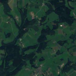
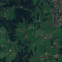
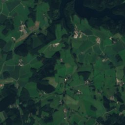
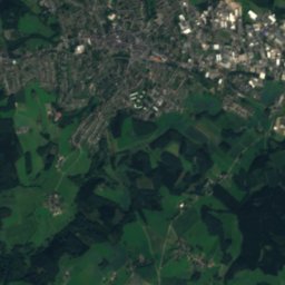
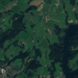
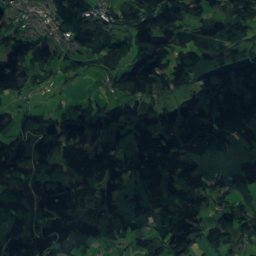
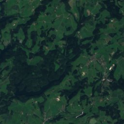
NeyeRiver4.3 kmWNeye
Photo: Frank Vincentz · CC BY-SA 3.0 · Wikimedia CommonsReport this photo · linked, not stored
Bever (Wupper)River5.2 kmWBever (Wupper)
Summits nearbyMountains of Germany
Photo: Milseburg · CC BY-SA 3.0 · Wikimedia CommonsReport this photo · linked, not stored
Nordhelle (Ebbe Mountains)18 km E663 mJuly 21°Nordhelle (Ebbe Mountains)
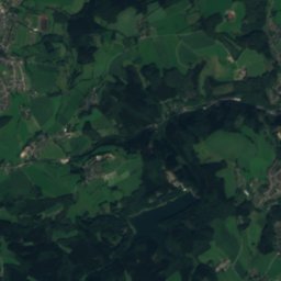
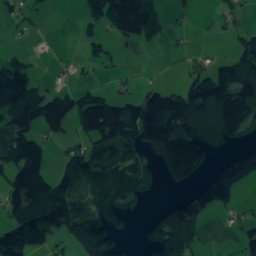
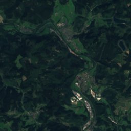
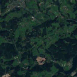
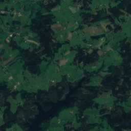
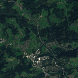
Satellite: Sentinel-2 cloudless 2016 by EOX IT Services GmbH · CC BY 4.0 · Contains modified Copernicus Sentinel data 2016
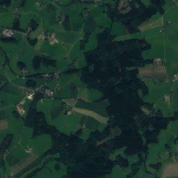
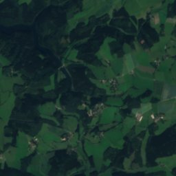
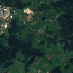
Reh-Berg20 km E646 mJuly 21°Reh-Berg
Satellite: Sentinel-2 cloudless 2016 by EOX IT Services GmbH · CC BY 4.0 · Contains modified Copernicus Sentinel data 2016
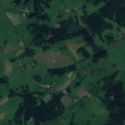
Waldberg19 km E638 mJuly 21°Waldberg
Satellite: Sentinel-2 cloudless 2016 by EOX IT Services GmbH · CC BY 4.0 · Contains modified Copernicus Sentinel data 2016
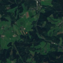
Rüenhardt21 km E636 mJuly 21°Rüenhardt
Satellite: Sentinel-2 cloudless 2016 by EOX IT Services GmbH · CC BY 4.0 · Contains modified Copernicus Sentinel data 2016
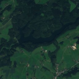
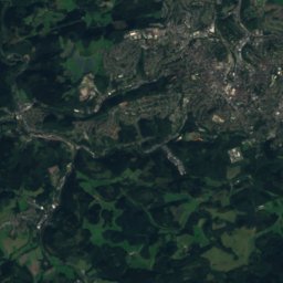
Homert, Lüdenscheid9.5 km E538 mJuly 22°Homert, Lüdenscheid
Photo: Schmidti 1977 at German Wikipedia · CC BY-SA 2.0 de · Wikimedia CommonsReport this photo · linked, not stored
Homert, Meinerzhagen18 km SE519 mJuly 22°Homert, Meinerzhagen
Stay nearby

Towns close by

Halver
Photo: Frank Vincentz · CC BY-SA 3.0 · Wikimedia CommonsReport this photo · linked, not stored

Halver

North Rhine-Westphalia · 0.9 km W
13°Oct high
13wet days
34score
Halver
Schalksmühle
Photo: © Bubo bubo / Wikimedia Commons · CC BY-SA 3.0 · Wikimedia CommonsReport this photo · linked, not stored

Schalksmühle

North Rhine-Westphalia · 6.0 km N
14°Oct high
13wet days
40score
Schalksmühle
Kierspe
Photo: Frank Vincentz · CC BY-SA 3.0 · Wikimedia CommonsReport this photo · linked, not stored

Kierspe

North Rhine-Westphalia · 8.3 km SE
13°Oct high
13wet days
35score
Kierspe
Breckerfeld
Photo: Peter Tritthart · CC BY 3.0 · Wikimedia CommonsReport this photo · linked, not stored

Breckerfeld

North Rhine-Westphalia · 8.4 km N
13°Oct high
13wet days
35score
Breckerfeld
Around here

Halver and around

Halver
Photo: Frank Vincentz · CC BY-SA 3.0 · Wikimedia CommonsReport this photo · linked, not stored

Halver

North Rhine-Westphalia · Germany
Jul–Sepbest months
22°July high
414 maltitude
Halver

Nature

Ennepe
Photo: Frank Vincentz · CC BY-SA 3.0 · Wikimedia CommonsReport this photo · linked, not stored
2.4 km SE

Ennepe

River · 131 m
Ennepe
Kerspe
Photo: Frank Vincentz · CC BY-SA 3.0 · Wikimedia CommonsReport this photo · linked, not stored
8.1 km S

Kerspe

River
Kerspe
Bever (Wupper)
Photo: Frank Vincentz · CC BY-SA 3.0 · Wikimedia CommonsReport this photo · linked, not stored
4.4 km W

Bever (Wupper)

River · 302 m
Bever (Wupper)

Mountains

Nordhelle (Ebbe Mountains)
Photo: Milseburg · CC BY-SA 3.0 · Wikimedia CommonsReport this photo · linked, not stored
18 km E

Nordhelle (Ebbe Mountains)

663 m · Ebbe Mountains
Nordhelle (Ebbe Mountains)
Schomberg
Photo: Jörg Braukmann · CC BY-SA 3.0 · Wikimedia CommonsReport this photo · linked, not stored
36 km E

Schomberg

648 m · Lenne Mountains
Schomberg
Satellite: Sentinel-2 cloudless 2016 by EOX IT Services GmbH · CC BY 4.0 · Contains modified Copernicus Sentinel data 2016
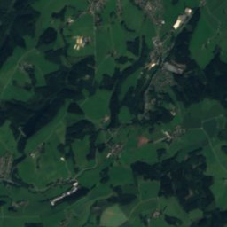
21 km E

Reh-Berg

646 m
Reh-Berg

Heritage

Nicolai-Kirche (Halver)
Photo: Ingo-Carsten Alms · CC BY-SA 3.0 · Wikimedia CommonsReport this photo · linked, not stored
under 100 m N

Nicolai-Kirche (Halver)

architectural heritage monument in North Rhine-Westphalia
Nicolai-Kirche (Halver)
Aussichtsturm Karlshöhe
Photo: Frank Vincentz · CC BY-SA 3.0 · Wikimedia CommonsReport this photo · linked, not stored
0.8 km E

Aussichtsturm Karlshöhe

architectural heritage monument in North Rhine-Westphalia
Aussichtsturm Karlshöhe
Christuskirche (Lüdenscheid)
Photo: PeLei · CC BY 3.0 · Wikimedia CommonsReport this photo · linked, not stored
9.5 km NE

Christuskirche (Lüdenscheid)

architectural heritage monument in North Rhine-Westphalia · 1900
Christuskirche (Lüdenscheid)

Museums

Halver Local History Museum
Photo: Frank Vincentz · CC BY-SA 3.0 · Wikimedia CommonsReport this photo · linked, not stored
0.3 km NE

Halver Local History Museum

Halver Local History Museum
Jagdmuseum Schalksmühle
Photo: Dat doris · CC BY-SA 4.0 · Wikimedia CommonsReport this photo · linked, not stored
6.6 km N

Jagdmuseum Schalksmühle

Jagdmuseum Schalksmühle
Bakelite museum Kierspe
Photo: Frank Vincentz · CC BY-SA 3.0 · Wikimedia CommonsReport this photo · linked, not stored
8.1 km SE

Bakelite museum Kierspe

2003
Bakelite museum Kierspe