Skip to content
Destinations
Weather & climate
Nature
Outdoors
Culture
Events
Sky & live
Grummer Bach
Photo: Brigitte Büsing · CC BY-SA 3.0 · Wikimedia Commons
Grummer BachReport this photo · linked, not stored
Dorneburger Bach
Photo: Frank Vincentz · CC BY-SA 3.0 · Wikimedia Commons
Dorneburger BachReport this photo · linked, not stored
Dorneburger Bach
Hofsteder Weiher
Photo: Erzhuebi · CC BY-SA 4.0 · Wikimedia Commons
Hofsteder WeiherReport this photo · linked, not stored
Hofsteder Weiher
Hofsteder Bach
Photo: Brigitte Büsing · CC BY-SA 3.0 · Wikimedia Commons
Hofsteder BachReport this photo · linked, not stored
Hofsteder Bach
Mühlenbach, Herne
Photo: Maschinenjunge · CC BY 3.0 · Wikimedia Commons
Mühlenbach, HerneReport this photo · linked, not stored
Mühlenbach, Herne
RiverBochum, North Rhine-Westphalia

Grummer Bach

RiverBest May · Jul · Sep
Elevation–above sea level
Length2.7 kmsource to mouth
Nearest townBochum2.1 km
51.50° N, 7.22° EUTC+1 · Central European Standard Time
When to goBochum · weather score
JanFebMarAprMayJunJulAugSepOctNovDec46October
Best timeMay · Jul · Sep
October: high / low15° / 7°
River

Grummer Bach in brief

Grummer Bach is a river in Bochum, North Rhine-Westphalia, Germany.

The nearest town is Bochum, 2.1 km to the S, where the weather is best in May, July and September.

Grummer Bach is 2.7 km long.

Bochum: weather and travel guide

Weather nearby now

Forecast for Bochum
13°
Cloudy now
Wind16 km/h
Humidity81%
Cloud cover98%
Today
27 Oct
17°
12°
Wed
28 Oct
14°
7°
1 mm
Thu
29 Oct
15°
8°
Fri
30 Oct
15°
4°
Sat
31 Oct
15°
4°

Model run 12:00 UTCRefreshed several times a day

When to go

The best months around Grummer Bach

Climate of Bochum

Month score in Bochum

Comfort, dry days and sunshine · out of 100
Map

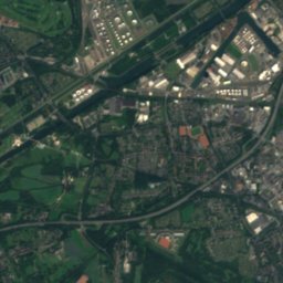
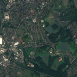
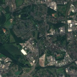
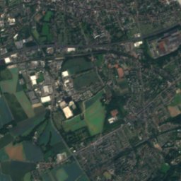
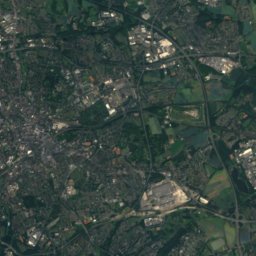
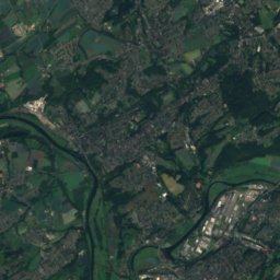
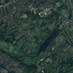
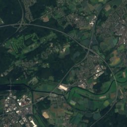
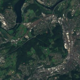
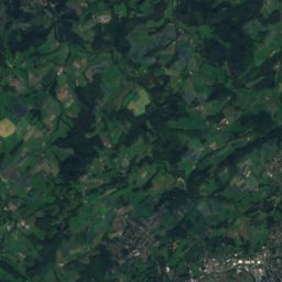
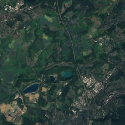
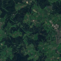
Grummer Bach from above

Nature nearbyAll of Germany
Photo: Frank Vincentz · CC BY-SA 3.0 · Wikimedia CommonsReport this photo · linked, not stored
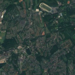
Dorneburger BachRiver2.2 kmNEDorneburger Bach
Photo: Erzhuebi · CC BY-SA 4.0 · Wikimedia CommonsReport this photo · linked, not stored
Hofsteder WeiherLake2.3 kmNWHofsteder Weiher
Photo: Brigitte Büsing · CC BY-SA 3.0 · Wikimedia CommonsReport this photo · linked, not stored
Hofsteder BachRiver2.5 kmWHofsteder Bach
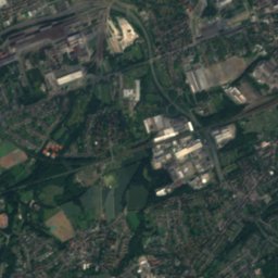
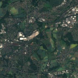
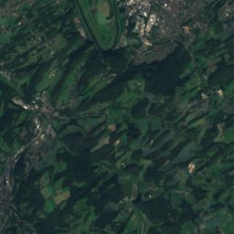
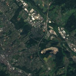
Satellite: Sentinel-2 cloudless 2016 by EOX IT Services GmbH · CC BY 4.0 · Contains modified Copernicus Sentinel data 2016
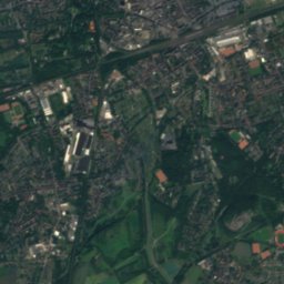
Ahbach, North Rhine-WestphaliaRiver3.6 kmSWAhbach, North Rhine-Westphalia
Photo: Maschinenjunge · CC BY 3.0 · Wikimedia CommonsReport this photo · linked, not stored
Mühlenbach, HerneRiver4.2 kmNEMühlenbach, Herne
Photo: Maschinenjunge · CC BY 3.0 · Wikimedia CommonsReport this photo · linked, not stored
Ostbach (Emscher)River4.6 kmNEOstbach (Emscher)
Summits nearbyMountains of Germany
Photo: Marku1988 · CC BY 3.0 · Wikimedia CommonsReport this photo · linked, not stored
Winterberg, Sprockhövel19 km S315 mJuly 23°Winterberg, Sprockhövel
Photo: User PodrPro · CC BY-SA 3.0 · Wikimedia CommonsReport this photo · linked, not stored
Klusenberg20 km SE254 mJuly 24°Klusenberg
Photo: Arnoldius · CC BY-SA 3.0 · Wikimedia CommonsReport this photo · linked, not stored
Syberg21 km SE245 mJuly 24°Syberg
Photo: Marku1988 · CC BY 3.0 · Wikimedia CommonsReport this photo · linked, not stored
Hordtberg17 km S244 mJuly 23°Hordtberg
Photo: Simplicius · CC BY-SA 3.0 · Wikimedia CommonsReport this photo · linked, not stored
Hostreich-Berg16 km SE243 mJuly 24°Hostreich-Berg
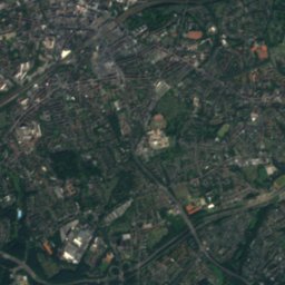
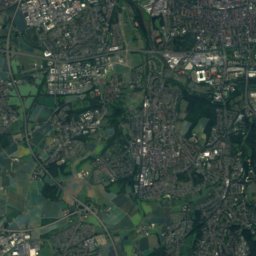
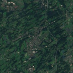
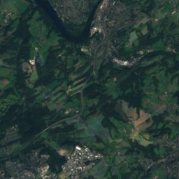
Satellite: Sentinel-2 cloudless 2016 by EOX IT Services GmbH · CC BY 4.0 · Contains modified Copernicus Sentinel data 2016
Harkortberg17 km SE232 mJuly 24°Harkortberg
Stay nearby

Towns close by

Bochum
Photo: Zergy79 · CC BY-SA 3.0 · Wikimedia CommonsReport this photo · linked, not stored

Bochum

North Rhine-Westphalia · 2.1 km S
15°Oct high
13wet days
46score
Bochum
Herne
Photo: Frank Vincentz · CC BY-SA 3.0 · Wikimedia CommonsReport this photo · linked, not stored

Herne

North Rhine-Westphalia · 4.3 km N
15°Oct high
13wet days
47score
Herne
Gelsenkirchen
Photo: Unknown author · CC BY-SA 3.0 · Wikimedia CommonsReport this photo · linked, not stored

Gelsenkirchen

North Rhine-Westphalia · 8.3 km W
15°Oct high
13wet days
48score
Gelsenkirchen
Castrop-Rauxel
Photo: Ludger1961 · CC BY-SA 3.0 · Wikimedia CommonsReport this photo · linked, not stored

Castrop-Rauxel

North Rhine-Westphalia · 9.1 km NE
15°Oct high
13wet days
47score
Castrop-Rauxel
Around here

Bochum and around

Bochum
Photo: Zergy79 · CC BY-SA 3.0 · Wikimedia CommonsReport this photo · linked, not stored

Bochum

North Rhine-Westphalia · Germany
May · Jul · Sepbest months
24°July high
102 maltitude
Bochum

Nature

Hellbach
Photo: Emscherblau · CC BY 3.0 · Wikimedia CommonsReport this photo · linked, not stored
8.7 km N

Hellbach

River
Hellbach
Ostbach (Emscher)
Photo: Maschinenjunge · CC BY 3.0 · Wikimedia CommonsReport this photo · linked, not stored
6.1 km NE

Ostbach (Emscher)

River
Ostbach (Emscher)
Westbach
Photo: Emscherblau · CC BY-SA 3.0 · Wikimedia CommonsReport this photo · linked, not stored
7.2 km N

Westbach

River
Westbach

Mountains

Brodtberg
Photo: Strahlemän · CC BY-SA 3.0 · Wikimedia CommonsReport this photo · linked, not stored
33 km S

Brodtberg

379 m · Bergisches Land
Brodtberg
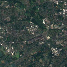
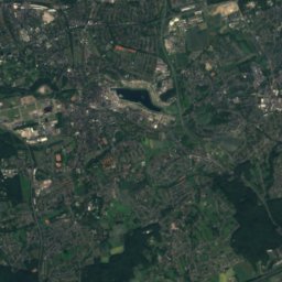
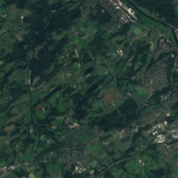
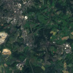
Satellite: Sentinel-2 cloudless 2016 by EOX IT Services GmbH · CC BY 4.0 · Contains modified Copernicus Sentinel data 2016
24 km S

Winterberg, Schwelm

351 m · Rhenish Massif
Winterberg, Schwelm
Winterberg, Sprockhövel
Photo: Marku1988 · CC BY 3.0 · Wikimedia CommonsReport this photo · linked, not stored
17 km S

Winterberg, Sprockhövel

315 m · Rhenish Massif
Winterberg, Sprockhövel

Heritage

Lutherkirche (Bochum)
Photo: Frank Vincentz · CC BY-SA 3.0 · Wikimedia CommonsReport this photo · linked, not stored
1.1 km NE

Lutherkirche (Bochum)

architectural heritage monument in North Rhine-Westphalia · 1911
Lutherkirche (Bochum)
St. Joseph (Bochum)
Photo: Statler · CC BY-SA 3.0 · Wikimedia CommonsReport this photo · linked, not stored
0.4 km NW

St. Joseph (Bochum)

architectural heritage monument in North Rhine-Westphalia
St. Joseph (Bochum)
Heinrich-Böll-Gesamtschule Bochum
Photo: User:Creosoph · CC BY-SA 4.0 · Wikimedia CommonsReport this photo · linked, not stored
1.7 km N

Heinrich-Böll-Gesamtschule Bochum

architectural heritage monument in North Rhine-Westphalia · 1865
Heinrich-Böll-Gesamtschule Bochum

Museums

German Mining Museum
Photo: Christian Nawrot · CC BY-SA 3.0 · Wikimedia CommonsReport this photo · linked, not stored
0.8 km N

German Mining Museum

1930
German Mining Museum
Telephone museum Bochum
Photo: Orgelputzer · CC BY-SA 4.0 · Wikimedia CommonsReport this photo · linked, not stored
1.9 km NE

Telephone museum Bochum

Telephone museum Bochum
Thorpe Heimatmuseum
Photo: Simplicius · CC BY 3.0 · Wikimedia CommonsReport this photo · linked, not stored
3.5 km SW

Thorpe Heimatmuseum

Local museum · 2002
Thorpe Heimatmuseum