Skip to content
Destinations
Weather & climate
Nature
Outdoors
Culture
Events
Sky & live
Grumbach, Thuringia
Photo: Metilsteiner · CC BY 3.0 · Wikimedia Commons
Grumbach, ThuringiaReport this photo · linked, not stored
Truse
Photo: Metilsteiner · CC BY-SA 4.0 · Wikimedia Commons
TruseReport this photo · linked, not stored
Truse
Burgsee Bad Salzungen
Photo: A.Savin · FAL · Wikimedia Commons
Burgsee Bad SalzungenReport this photo · linked, not stored
Burgsee Bad Salzungen
Rosabach
Photo: Metilsteiner · CC BY 3.0 · Wikimedia Commons
RosabachReport this photo · linked, not stored
Rosabach
Luisenthaler Wasserfall
Photo: Metilsteiner · CC BY 3.0 · Wikimedia Commons
Luisenthaler WasserfallReport this photo · linked, not stored
Luisenthaler Wasserfall
RiverBreitungen, Thuringia

Grumbach, Thuringia

RiverBest May · Aug–Sep
Elevation–above sea level
Length12 kmsource to mouth
Nearest townBreitungen2.0 km
50.78° N, 10.31° EUTC+2 · Central European Summer Time
When to goBreitungen · weather score
JanFebMarAprMayJunJulAugSepOctNovDec42October
Best timeMay · Aug–Sep
October: high / low13° / 5°
River

Grumbach, Thuringia in brief

Grumbach, Thuringia is a river in Breitungen, Thuringia, Germany.

The nearest town is Breitungen, 2.0 km to the SE, where the weather is best in May, August and September.

Grumbach, Thuringia is 12 km long.

Breitungen: weather and travel guide

Weather nearby now

Forecast for Breitungen
10°
Cloudy now
Wind25 km/h
Humidity91%
Cloud cover100%
Today
23 Oct
12°
4°
2 mm
Sat
24 Oct
10°
4°
8 mm
Sun
25 Oct
13°
6°
19 mm
Mon
26 Oct
12°
6°
Tue
27 Oct
16°
7°
1 mm

Model run 12:00 UTCRefreshed several times a day

When to go

The best months around Grumbach, Thuringia

Climate of Breitungen

Month score in Breitungen

Comfort, dry days and sunshine · out of 100
17
Jan
23
Feb
23
Mar
58
Apr
65
May
65
Jun
65
Jul
68
Aug
71
Sep
42
Oct
20
Nov
15
Dec
Map

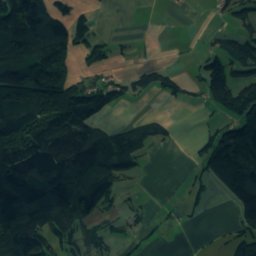
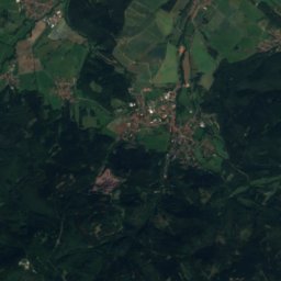
Grumbach, Thuringia from above

Nature nearbyAll of Germany
Photo: Metilsteiner · CC BY-SA 4.0 · Wikimedia CommonsReport this photo · linked, not stored
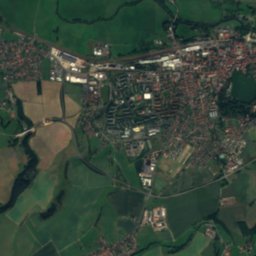
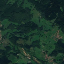
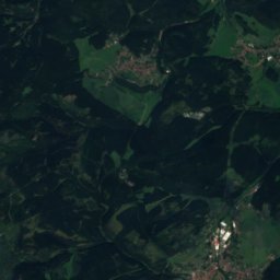
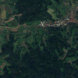
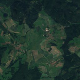
TruseRiver3.4 kmSETruse
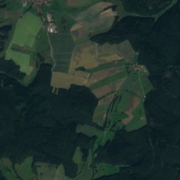
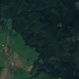
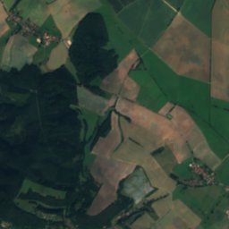
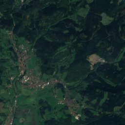
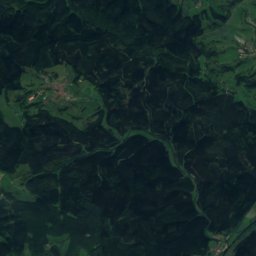
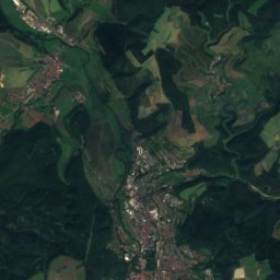
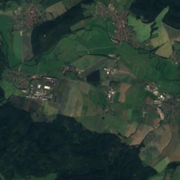
Satellite: Sentinel-2 cloudless 2016 by EOX IT Services GmbH · CC BY 4.0 · Contains modified Copernicus Sentinel data 2016
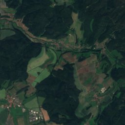
PfitzbachRiver5.7 kmNWPfitzbach
Photo: A.Savin · FAL · Wikimedia CommonsReport this photo · linked, not stored
Burgsee Bad SalzungenLake6.2 kmNWBurgsee Bad Salzungen
Photo: Metilsteiner · CC BY 3.0 · Wikimedia CommonsReport this photo · linked, not stored
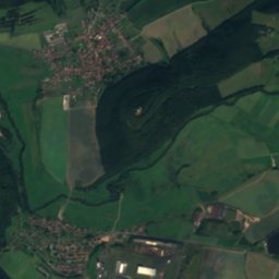
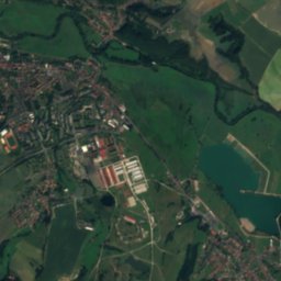
RosabachRiver6.6 kmSERosabach
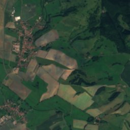
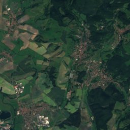
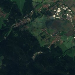
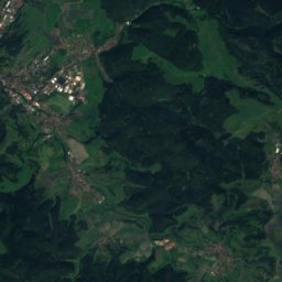
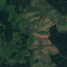
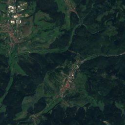
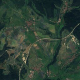
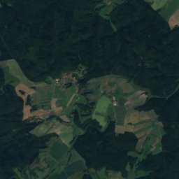
Satellite: Sentinel-2 cloudless 2016 by EOX IT Services GmbH · CC BY 4.0 · Contains modified Copernicus Sentinel data 2016
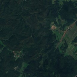
Altenstein caveCave6.6 kmNEAltenstein cave
Photo: Metilsteiner · CC BY 3.0 · Wikimedia CommonsReport this photo · linked, not stored
Luisenthaler WasserfallWaterfall7.8 kmNLuisenthaler Wasserfall
Summits nearbyMountains of Germany
Photo: Metilsteiner · CC BY-SA 3.0 · Wikimedia CommonsReport this photo · linked, not stored
Großer Inselsberg14 km NE917 mJuly 20°Großer Inselsberg
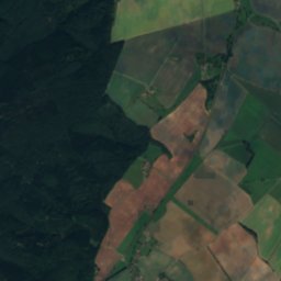
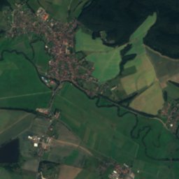
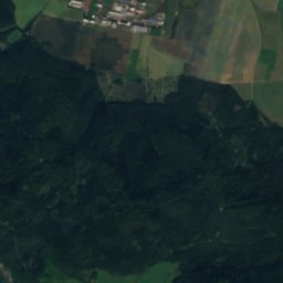
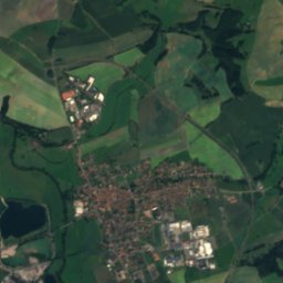
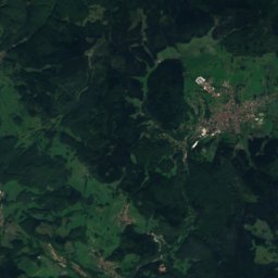
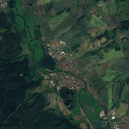
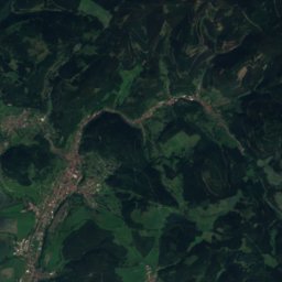
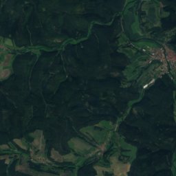
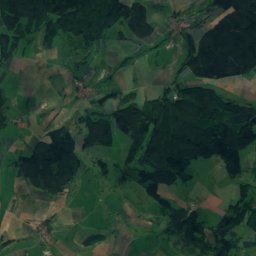
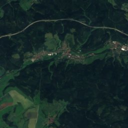
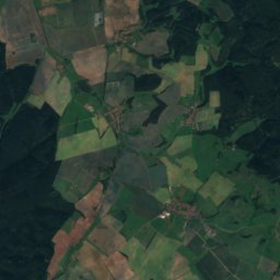
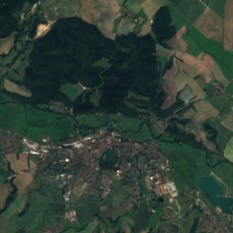
Satellite: Sentinel-2 cloudless 2016 by EOX IT Services GmbH · CC BY 4.0 · Contains modified Copernicus Sentinel data 2016
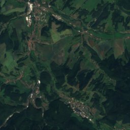
Schmalkalder Loibe20 km E886 mJuly 20°Schmalkalder Loibe
Photo: Jörg Braukmann · CC BY-SA 3.0 · Wikimedia CommonsReport this photo · linked, not stored
Gebaberg21 km S751 mJuly 21°Gebaberg
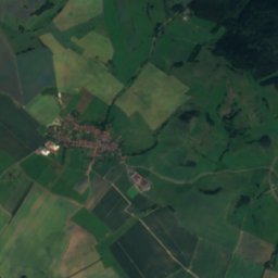
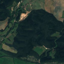
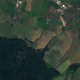
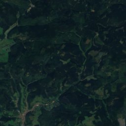
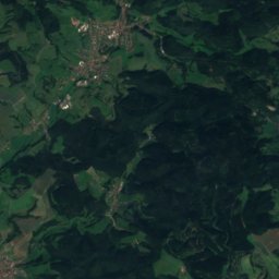
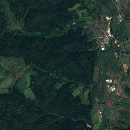
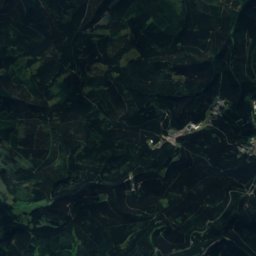
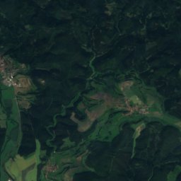
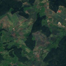
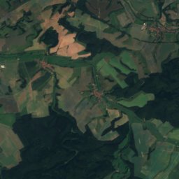
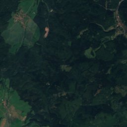
Satellite: Sentinel-2 cloudless 2016 by EOX IT Services GmbH · CC BY 4.0 · Contains modified Copernicus Sentinel data 2016
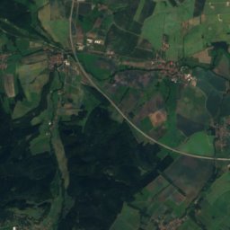
Dolmar20 km SE739 mJuly 21°Dolmar
Photo: Lukas Beck · CC BY 4.0 · Wikimedia CommonsReport this photo · linked, not stored
Schönleite16 km NE736 mJuly 21°Schönleite
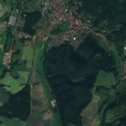
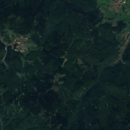
Satellite: Sentinel-2 cloudless 2016 by EOX IT Services GmbH · CC BY 4.0 · Contains modified Copernicus Sentinel data 2016
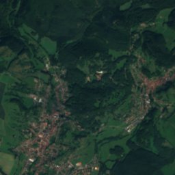
Rennwegskopf9.0 km NE730 mJuly 21°Rennwegskopf
Stay nearby

Towns close by

Breitungen
Photo: ThomasBreitungen at German Wikipedia (Original text: ThomasBreitungen) · Public domain · Wikimedia CommonsReport this photo · linked, not stored

Breitungen

Thuringia · 2.0 km SE
13°Oct high
12wet days
42score
Breitungen
Immelborn
Photo: Metilsteiner · CC BY-SA 3.0 · Wikimedia CommonsReport this photo · linked, not stored

Immelborn

Thuringia · 2.7 km NW
14°Oct high
12wet days
42score
Immelborn
Barchfeld
Photo: Cosal · CC BY-SA 3.0 · Wikimedia CommonsReport this photo · linked, not stored

Barchfeld

Thuringia · 2.8 km N
14°Oct high
12wet days
42score
Barchfeld
Bad Liebenstein
Photo: Unknown authorUnknown author · Public domain · Wikimedia CommonsReport this photo · linked, not stored

Bad Liebenstein

Thuringia · 5.5 km NE
13°Oct high
12wet days
37score
Bad Liebenstein
Around here

Breitungen and around

Breitungen
Photo: ThomasBreitungen at German Wikipedia (Original text: ThomasBreitungen) · Public domain · Wikimedia CommonsReport this photo · linked, not stored

Breitungen

Thuringia · Germany
May · Aug–Sepbest months
25°July high
252 maltitude
Breitungen

Nature

Truse
Photo: Metilsteiner · CC BY-SA 4.0 · Wikimedia CommonsReport this photo · linked, not stored
1.4 km SE

Truse

River
Truse
Rosabach
Photo: Metilsteiner · CC BY 3.0 · Wikimedia CommonsReport this photo · linked, not stored
4.7 km SE

Rosabach

River
Rosabach
Stille
Photo: CTHOE · CC BY-SA 3.0 · Wikimedia CommonsReport this photo · linked, not stored
9.5 km SE

Stille

River
Stille

Mountains

Großer Beerberg
Photo: Elop · CC BY-SA 2.5 · Wikimedia CommonsReport this photo · linked, not stored
32 km E

Großer Beerberg

983 m · Thuringian Forest
Großer Beerberg
Großer Finsterberg
Photo: Elop · CC BY-SA 2.5 · Wikimedia CommonsReport this photo · linked, not stored
36 km SE

Großer Finsterberg

944 m · Thuringian Forest
Großer Finsterberg
Großer Inselsberg
Photo: Metilsteiner · CC BY-SA 3.0 · Wikimedia CommonsReport this photo · linked, not stored
14 km NE

Großer Inselsberg

917 m · Thuringian Forest
Großer Inselsberg

Heritage

Breitungen Castle
Photo: Metilsteiner · CC BY-SA 3.0 · Wikimedia CommonsReport this photo · linked, not stored
0.9 km SE

Breitungen Castle

Heritage monument in Thuringia
Breitungen Castle
St. Marien, Breitungen
Photo: Metilsteiner · CC BY 3.0 · Wikimedia CommonsReport this photo · linked, not stored
1.3 km SE

St. Marien, Breitungen

Heritage monument in Thuringia
St. Marien, Breitungen
Wilhelmsburg Castle
Photo: Michael Sander · CC BY-SA 3.0 · Wikimedia CommonsReport this photo · linked, not stored
10 km SE

Wilhelmsburg Castle

Heritage monument in Thuringia · 1584
Wilhelmsburg Castle

Museums

Satellite: Sentinel-2 cloudless 2016 by EOX IT Services GmbH · CC BY 4.0 · Contains modified Copernicus Sentinel data 2016
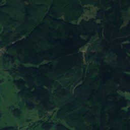
1.0 km SE

Aktivmuseum Breitungen - Ländliches Brauchtum

Aktivmuseum Breitungen - Ländliches Brauchtum
Neue Hütte (Schmalkalden)
Photo: © August Geyler / Wikimedia Commons · CC BY-SA 4.0 · Wikimedia CommonsReport this photo · linked, not stored
10 km E

Neue Hütte (Schmalkalden)

Neue Hütte (Schmalkalden)
Besucherbergwerk Hühn
Photo: Lukas Beck · CC BY 4.0 · Wikimedia CommonsReport this photo · linked, not stored
7.0 km E

Besucherbergwerk Hühn

Show mine
Besucherbergwerk Hühn