Skip to content
Destinations
Weather & climate
Nature
Outdoors
Culture
Events
Sky & live
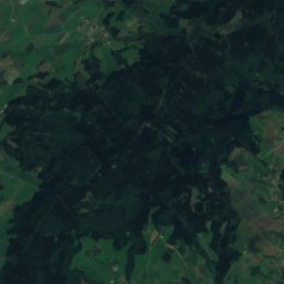
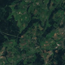
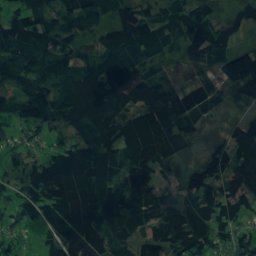
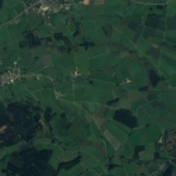
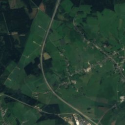
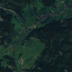
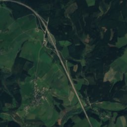
Satellite: Sentinel-2 cloudless 2016 by EOX IT Services GmbH · CC BY 4.0 · Contains modified Copernicus Sentinel data 2016
Amblève
Photo: Jean Housen · CC BY-SA 3.0 · Wikimedia Commons
AmblèveReport this photo · linked, not stored
Amblève
Schwarzer Mann
Photo: Mabol! · CC BY-SA 3.0 · Wikimedia Commons
Schwarzer MannReport this photo · linked, not stored
Schwarzer Mann
Weißer Stein
Photo: Macphil · CC BY-SA 2.0 de · Wikimedia Commons
Weißer SteinReport this photo · linked, not stored
Weißer Stein
RiverMützenich, Rheinland-Pfalz

Grossweberbach

RiverBest Jul–Sep
Elevation–above sea level
Length5.5 kmsource to mouth
Nearest townMützenich4.7 km
50.29° N, 6.26° EUTC+2 · Central European Summer Time
When to goMützenich · weather score
JanFebMarAprMayJunJulAugSepOctNovDec29October
Best timeJul–Sep
October: high / low12° / 6°
River

Grossweberbach in brief

Grossweberbach is a river in Mützenich, Rheinland-Pfalz, Germany — river in Belgium.

The nearest town in the atlas is Mützenich, 4.7 km to the S, where the weather is best in July, August and September.

Grossweberbach is 5.5 km long.

Mützenich: weather and travel guide

Weather nearby now

Forecast for Mützenich
8°
Cloudy now
Wind19 km/h
Humidity97%
Cloud cover100%
Today
23 Oct
9°
5°
8 mm
Sat
24 Oct
9°
4°
17 mm
Sun
25 Oct
10°
6°
30 mm
Mon
26 Oct
10°
5°
2 mm
Tue
27 Oct
15°
9°
2 mm

Model run 12:00 UTCRefreshed several times a day

When to go

The best months around Grossweberbach

Climate of Mützenich

Month score in Mützenich

Comfort, dry days and sunshine · out of 100
10
Jan
17
Feb
18
Mar
41
Apr
55
May
62
Jun
63
Jul
63
Aug
65
Sep
29
Oct
10
Nov
9
Dec
Map

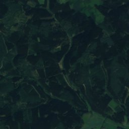
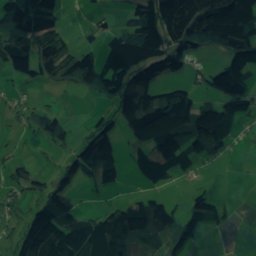
Grossweberbach from above

Nature nearbyAll of Germany
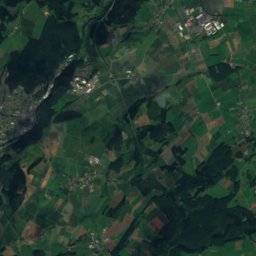
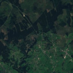
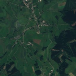
Satellite: Sentinel-2 cloudless 2016 by EOX IT Services GmbH · CC BY 4.0 · Contains modified Copernicus Sentinel data 2016
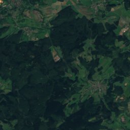
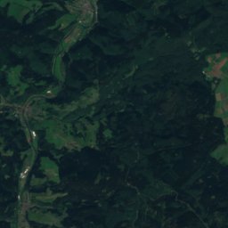
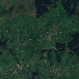
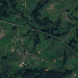
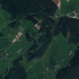
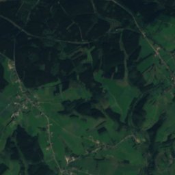
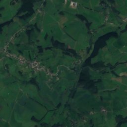
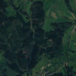
WeberbachRiver0.6 kmSEWeberbach
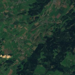
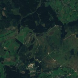
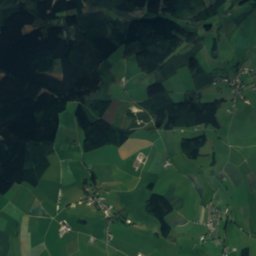
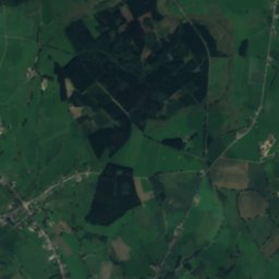
Satellite: Sentinel-2 cloudless 2016 by EOX IT Services GmbH · CC BY 4.0 · Contains modified Copernicus Sentinel data 2016
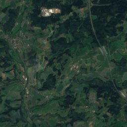
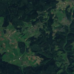
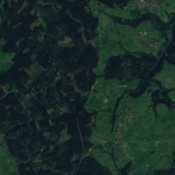
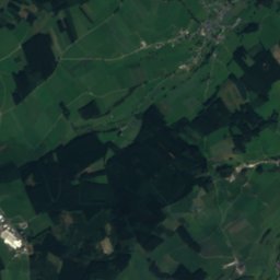
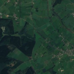
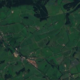
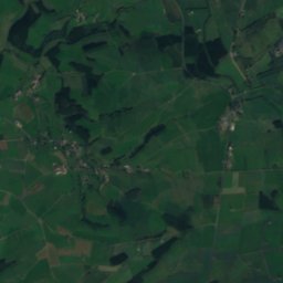
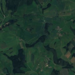
Langenbach, Rheinland-PfalzRiver0.6 kmSLangenbach, Rheinland-Pfalz
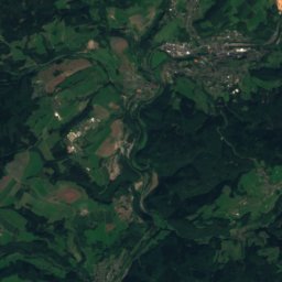
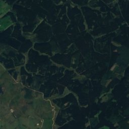
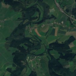
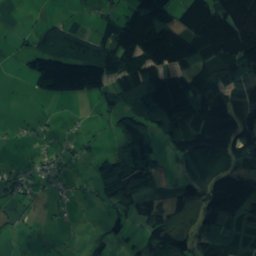
Satellite: Sentinel-2 cloudless 2016 by EOX IT Services GmbH · CC BY 4.0 · Contains modified Copernicus Sentinel data 2016
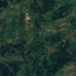
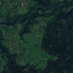
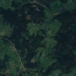
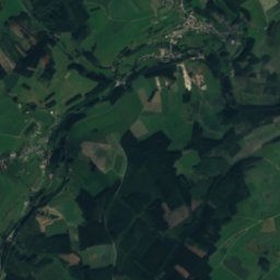
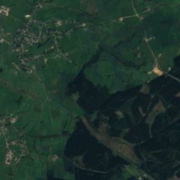
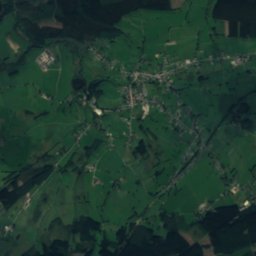
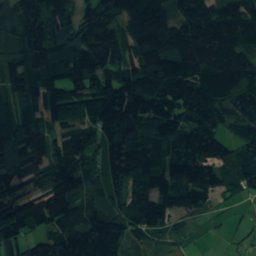
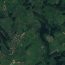
MedenderbachRiver2.9 kmNEMedenderbach
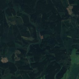
Satellite: Sentinel-2 cloudless 2016 by EOX IT Services GmbH · CC BY 4.0 · Contains modified Copernicus Sentinel data 2016
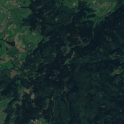
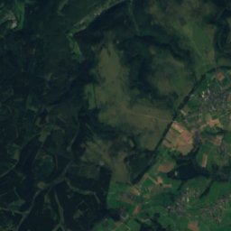
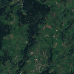
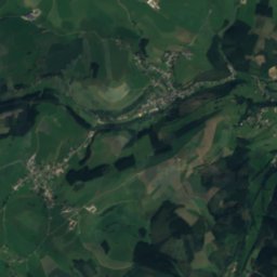
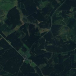
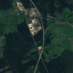
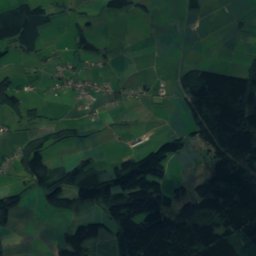
IhrenbachRiver3.2 kmEIhrenbach
Satellite: Sentinel-2 cloudless 2016 by EOX IT Services GmbH · CC BY 4.0 · Contains modified Copernicus Sentinel data 2016
DeichRiver7.3 kmNEDeich
Photo: Jean Housen · CC BY-SA 3.0 · Wikimedia CommonsReport this photo · linked, not stored
AmblèveRiver7.7 kmNWAmblève
Summits nearbyMountains of Germany
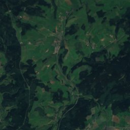
Photo: Mabol! · CC BY-SA 3.0 · Wikimedia CommonsReport this photo · linked, not stored
Schwarzer Mann8.4 km SE698 mJuly 21°Schwarzer Mann
Photo: Macphil · CC BY-SA 2.0 de · Wikimedia CommonsReport this photo · linked, not stored
Weißer Stein15 km NE693 mJuly 20°Weißer Stein
Satellite: Sentinel-2 cloudless 2016 by EOX IT Services GmbH · CC BY 4.0 · Contains modified Copernicus Sentinel data 2016
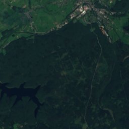
Apert24 km SE631 mJuly 21°Apert
Satellite: Sentinel-2 cloudless 2016 by EOX IT Services GmbH · CC BY 4.0 · Contains modified Copernicus Sentinel data 2016
Hohe Mark22 km N609 mJuly 21°Hohe Mark
Satellite: Sentinel-2 cloudless 2016 by EOX IT Services GmbH · CC BY 4.0 · Contains modified Copernicus Sentinel data 2016
Giesberg17 km N607 mJuly 21°Giesberg
Satellite: Sentinel-2 cloudless 2016 by EOX IT Services GmbH · CC BY 4.0 · Contains modified Copernicus Sentinel data 2016
Hardtkopf (Eifel)18 km SE602 mJuly 21°Hardtkopf (Eifel)
Stay nearby

Towns close by

Mützenich
Photo: Murray Bosinsky · Public domain · Wikimedia CommonsReport this photo · linked, not stored

Mützenich

Rheinland-Pfalz · 4.7 km S
12°Oct high
13wet days
29score
Mützenich
Oberlascheid
Photo: Colling-architektur · CC BY-SA 3.0 · Wikimedia CommonsReport this photo · linked, not stored

Oberlascheid

Rheinland-Pfalz · 5.6 km SE
12°Oct high
13wet days
27score
Oberlascheid
Meyerode
Photo: Romaine · CC0 · Wikimedia CommonsReport this photo · linked, not stored

Meyerode

Wallonia · 6.3 km NW
12°Oct high
14wet days
25score
Meyerode
Winterscheid
Photo: Thomas Hummel · CC BY-SA 4.0 · Wikimedia CommonsReport this photo · linked, not stored

Winterscheid

Rheinland-Pfalz · 6.5 km S
12°Oct high
13wet days
29score
Winterscheid
Around here

Mützenich and around

Mützenich
Photo: Murray Bosinsky · Public domain · Wikimedia CommonsReport this photo · linked, not stored

Mützenich

Rheinland-Pfalz · Germany
Jul–Sepbest months
22°July high
471 maltitude
Mützenich

Nature

Irsen
Photo: Dix.Doblat · CC BY-SA 4.0 · Wikimedia CommonsReport this photo · linked, not stored
9.7 km SW

Irsen

River
Irsen
Satellite: Sentinel-2 cloudless 2016 by EOX IT Services GmbH · CC BY 4.0 · Contains modified Copernicus Sentinel data 2016
10 km SW

Ulf

River · 354 m
Ulf
Satellite: Sentinel-2 cloudless 2016 by EOX IT Services GmbH · CC BY 4.0 · Contains modified Copernicus Sentinel data 2016
4.5 km NE

Ihrenbach

River · 466 m
Ihrenbach

Mountains

Ernstberg
Photo: Mabol! · CC BY-SA 3.0 · Wikimedia CommonsReport this photo · linked, not stored
36 km E

Ernstberg

700 m · Volcanic Eifel
Ernstberg
Schwarzer Mann
Photo: Mabol! · CC BY-SA 3.0 · Wikimedia CommonsReport this photo · linked, not stored
6.6 km E

Schwarzer Mann

698 m · Schneifel
Schwarzer Mann
Signal de Botrange
Photo: LucT · CC BY-SA 3.0 · Wikimedia CommonsReport this photo · linked, not stored
31 km NW

Signal de Botrange

694 m · High Fens
Signal de Botrange

Heritage

Mariä-Himmelfahrt-Kirche
Photo: Thomas Hummel · CC BY-SA 4.0 · Wikimedia CommonsReport this photo · linked, not stored
1.8 km SE

Mariä-Himmelfahrt-Kirche

Kulturdenkmal
Mariä-Himmelfahrt-Kirche
St. Josef, Mützenich
Photo: Thomas Hummel · CC BY-SA 4.0 · Wikimedia CommonsReport this photo · linked, not stored
0.6 km NW

St. Josef, Mützenich

architectural heritage monument
St. Josef, Mützenich
St. Maria Magdalena, Winterscheid
Photo: Thomas Hummel · CC BY-SA 4.0 · Wikimedia CommonsReport this photo · linked, not stored
2.4 km SW

St. Maria Magdalena, Winterscheid

architectural heritage monument
St. Maria Magdalena, Winterscheid

Museums

Satellite: Sentinel-2 cloudless 2016 by EOX IT Services GmbH · CC BY 4.0 · Contains modified Copernicus Sentinel data 2016
2.4 km SE

Besucherbergwerk Mühlenberger Stollen

Besucherbergwerk Mühlenberger Stollen
WArtehalle
Photo: D. Herdemerten (Hannibal21) · CC BY 3.0 · Wikimedia CommonsReport this photo · linked, not stored
13 km SW

WArtehalle

WArtehalle
Satellite: Sentinel-2 cloudless 2016 by EOX IT Services GmbH · CC BY 4.0 · Contains modified Copernicus Sentinel data 2016
14 km NE

Arskrippana

Arskrippana