Skip to content
Destinations
Weather & climate
Nature
Outdoors
Culture
Events
Sky & live
Goitzsche
Photo: A.Savin · FAL · Wikimedia Commons
GoitzscheReport this photo · linked, not stored
Grüner See, Saxony-Anhalt
Photo: Cmuelle8 · CC0 · Wikimedia Commons
Grüner See, Saxony-AnhaltReport this photo · linked, not stored
Grüner See, Saxony-Anhalt
Seelhausener See
Photo: Oligenom · CC BY-SA 3.0 · Wikimedia Commons
Seelhausener SeeReport this photo · linked, not stored
Seelhausener See
Lober
Photo: Cmuelle8 · CC0 · Wikimedia Commons
LoberReport this photo · linked, not stored
Lober
Spitzberg, Saxony-Anhalt
Photo: M_H.DE · CC BY 3.0 · Wikimedia Commons
Spitzberg, Saxony-AnhaltReport this photo · linked, not stored
Spitzberg, Saxony-Anhalt
LakeMühlbeck, Saxony-Anhalt

Goitzsche

Lake75 m elevationBest May–Jun · Sep
Elevation75 mabove sea level
Area13 km²surface
Nearest townMühlbeck1.8 km
51.63° N, 12.36° EElevation 75 mUTC+2 · Central European Summer Time
When to goMühlbeck · weather score
JanFebMarAprMayJunJulAugSepOctNovDec52October
Best timeMay–Jun · Sep
October: high / low15° / 6°
Lake

Goitzsche in brief

Goitzsche is a lake in Mühlbeck, Saxony-Anhalt, Germany.

It lies at 75 m above sea level and covers about 13 km².

The nearest town is Mühlbeck, 1.8 km to the NE, where the weather is best in May, June and September.

Mühlbeck: weather and travel guide

Weather nearby now

Forecast for Mühlbeck
10°
Clear now
Wind21 km/h
Humidity70%
Cloud cover14%
Today
24 Oct
13°
6°
1 mm
Sun
25 Oct
14°
6°
11 mm
Mon
26 Oct
13°
7°
Tue
27 Oct
16°
8°
1 mm
Wed
28 Oct
15°
6°

Model run 12:00 UTCRefreshed several times a day

The lake's water

Surface, average depth and volume of the lake, and the length of its shore.
Surface13 km²
Average depth5 m
Volume7 million m³
Shoreline4.5 km
average depth 5 msurface at 75 m
When to go

The best months around Goitzsche

Climate of Mühlbeck

Month score in Mühlbeck

Comfort, dry days and sunshine · out of 100
18
Jan
27
Feb
25
Mar
64
Apr
72
May
70
Jun
63
Jul
69
Aug
74
Sep
52
Oct
23
Nov
18
Dec
Map

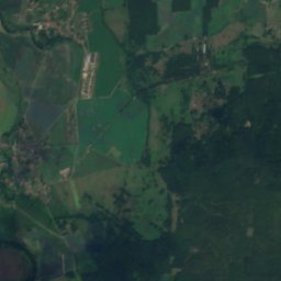
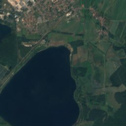
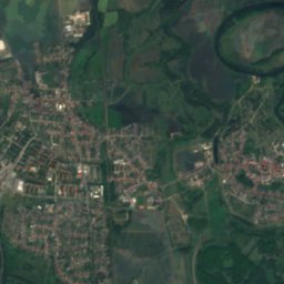
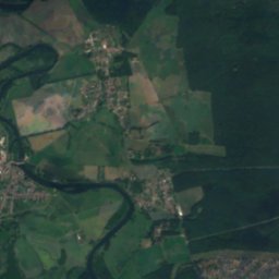
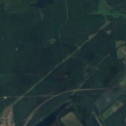
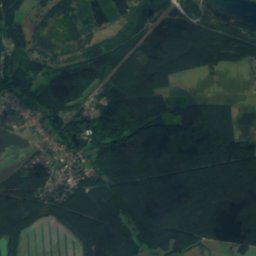
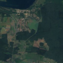
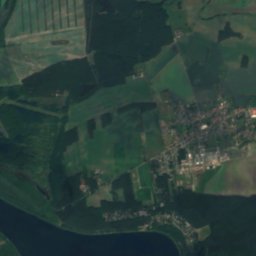
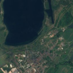
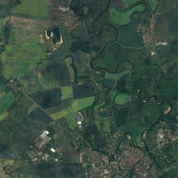
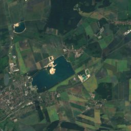
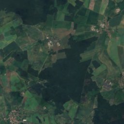
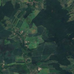
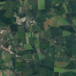
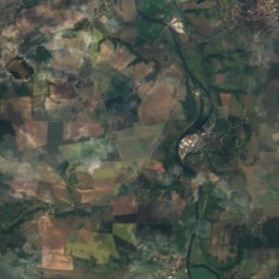
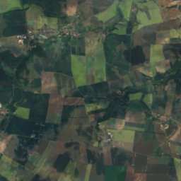
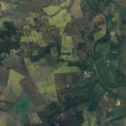
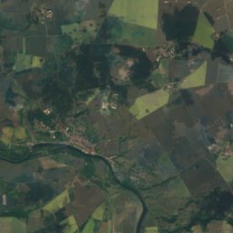
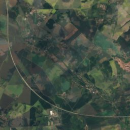
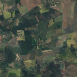
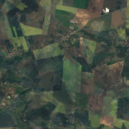
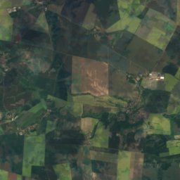
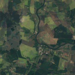
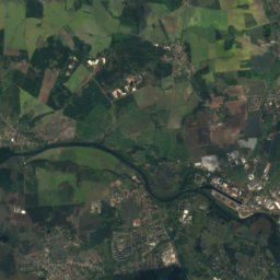
Goitzsche from above

Nature nearbyAll of Germany
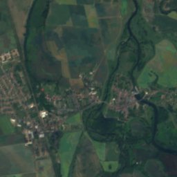
Satellite: Sentinel-2 cloudless 2016 by EOX IT Services GmbH · CC BY 4.0 · Contains modified Copernicus Sentinel data 2016
Blauer See, BurgkemnitzLake5.2 kmNBlauer See, Burgkemnitz
Photo: Cmuelle8 · CC0 · Wikimedia CommonsReport this photo · linked, not stored
Grüner See, Saxony-AnhaltLake5.2 kmNGrüner See, Saxony-Anhalt
Photo: Oligenom · CC BY-SA 3.0 · Wikimedia CommonsReport this photo · linked, not stored
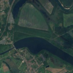
Seelhausener SeeLake6.3 kmSESeelhausener See
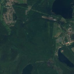
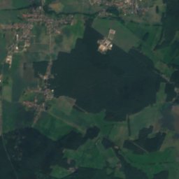
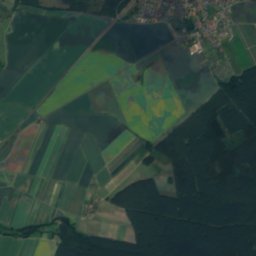
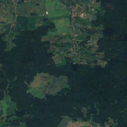
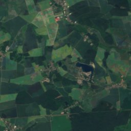
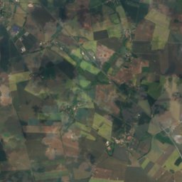
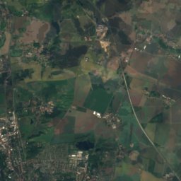
Satellite: Sentinel-2 cloudless 2016 by EOX IT Services GmbH · CC BY 4.0 · Contains modified Copernicus Sentinel data 2016
Großer Teich, Saxony-AnhaltLake8.2 kmNGroßer Teich, Saxony-Anhalt
Photo: Cmuelle8 · CC0 · Wikimedia CommonsReport this photo · linked, not stored
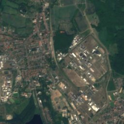
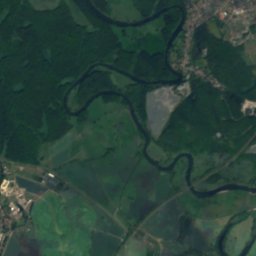
LoberRiver8.9 kmSLober
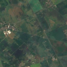
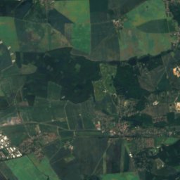
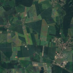
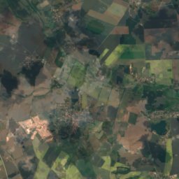
Satellite: Sentinel-2 cloudless 2016 by EOX IT Services GmbH · CC BY 4.0 · Contains modified Copernicus Sentinel data 2016
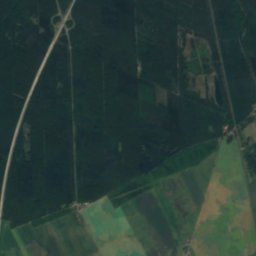
Gröberner SeeLake10 kmNEGröberner See
Summits nearbyMountains of Germany
Photo: M_H.DE · CC BY 3.0 · Wikimedia CommonsReport this photo · linked, not stored
Spitzberg, Saxony-Anhalt20 km SW136 mJuly 25°Spitzberg, Saxony-Anhalt
Stay nearby

Towns close by

Mühlbeck
Photo: Jwaller · CC BY-SA 3.0 · Wikimedia CommonsReport this photo · linked, not stored

Mühlbeck

Saxony-Anhalt · 1.8 km NE
15°Oct high
10wet days
52score
Mühlbeck
Friedersdorf
Photo: Radler59 · CC BY-SA 4.0 · Wikimedia CommonsReport this photo · linked, not stored

Friedersdorf

Saxony-Anhalt · 2.4 km N
15°Oct high
10wet days
53score
Friedersdorf
Bitterfeld-Wolfen
Photo: Joeb07 · CC BY 3.0 · Wikimedia CommonsReport this photo · linked, not stored

Bitterfeld-Wolfen

Saxony-Anhalt · 2.8 km W
15°Oct high
10wet days
52score
Bitterfeld-Wolfen
Plodda
Photo: Olaf2 · CC BY 4.0 · Wikimedia CommonsReport this photo · linked, not stored

Plodda

Saxony-Anhalt · 6.8 km NE
14°Oct high
10wet days
51score
Plodda
Around here

Mühlbeck and around

Mühlbeck
Photo: Jwaller · CC BY-SA 3.0 · Wikimedia CommonsReport this photo · linked, not stored

Mühlbeck

Saxony-Anhalt · Germany
May–Jun · Sepbest months
26°July high
82 maltitude
Mühlbeck

Nature

Lober
Photo: Cmuelle8 · CC0 · Wikimedia CommonsReport this photo · linked, not stored
11 km S

Lober

River
Lober
Seelhausener See
Photo: Oligenom · CC BY-SA 3.0 · Wikimedia CommonsReport this photo · linked, not stored
6.7 km SE

Seelhausener See

Lake · 78 m
Seelhausener See
Grüner See, Saxony-Anhalt
Photo: Cmuelle8 · CC0 · Wikimedia CommonsReport this photo · linked, not stored
4.0 km N

Grüner See, Saxony-Anhalt

Lake · 83 m
Grüner See, Saxony-Anhalt

Mountains

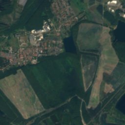
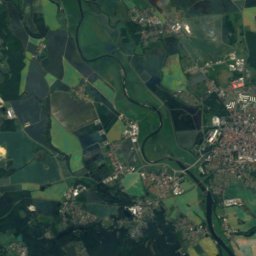
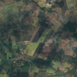
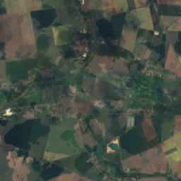
Satellite: Sentinel-2 cloudless 2016 by EOX IT Services GmbH · CC BY 4.0 · Contains modified Copernicus Sentinel data 2016
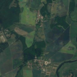
38 km SE

Löbenberg

240 m · Hohburg Hills
Löbenberg
Spitzberg, Wurzen
Photo: Cookroach · CC BY-SA 4.0 · Wikimedia CommonsReport this photo · linked, not stored
38 km SE

Spitzberg, Wurzen

171 m
Spitzberg, Wurzen
Satellite: Sentinel-2 cloudless 2016 by EOX IT Services GmbH · CC BY 4.0 · Contains modified Copernicus Sentinel data 2016
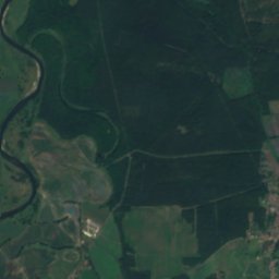
36 km W

Lerchenhügel

163 m
Lerchenhügel

Heritage

Satellite: Sentinel-2 cloudless 2016 by EOX IT Services GmbH · CC BY 4.0 · Contains modified Copernicus Sentinel data 2016
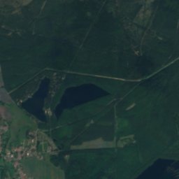
0.2 km E

Kirche Mühlbeck

heritage monument in Saxony-Anhalt
Kirche Mühlbeck
Villa am Bernsteinsee
Photo: Muesse · CC BY 3.0 · Wikimedia CommonsReport this photo · linked, not stored
1.9 km SW

Villa am Bernsteinsee

Kulturdenkmal
Villa am Bernsteinsee
Protestant church Pouch
Photo: Jwaller · CC BY-SA 3.0 · Wikimedia CommonsReport this photo · linked, not stored
2.0 km SE

Protestant church Pouch

heritage monument in Saxony-Anhalt
Protestant church Pouch

Museums

Kreismuseum Bitterfeld
Photo: A.Savin · FAL · Wikimedia CommonsReport this photo · linked, not stored
3.9 km SW

Kreismuseum Bitterfeld

Local museum
Kreismuseum Bitterfeld
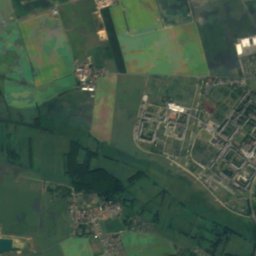
Satellite: Sentinel-2 cloudless 2016 by EOX IT Services GmbH · CC BY 4.0 · Contains modified Copernicus Sentinel data 2016
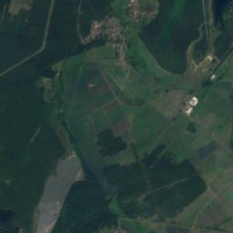
4.0 km SW

Galerie am Ratswall

Art museum
Galerie am Ratswall
Ferropolis
Photo: Volker Henze at German Wikipedia · Public domain · Wikimedia CommonsReport this photo · linked, not stored
14 km N

Ferropolis

Mining museum · 1995
Ferropolis