Skip to content
Destinations
Weather & climate
Nature
Outdoors
Culture
Events
Sky & live
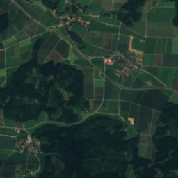
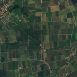
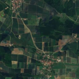
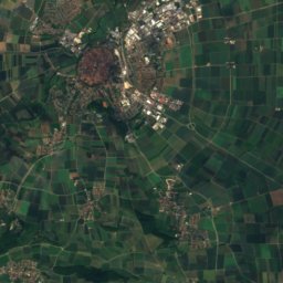
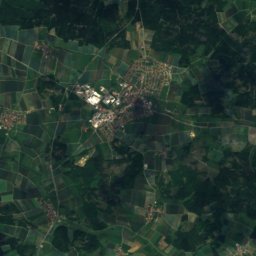
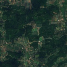
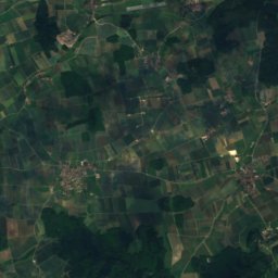
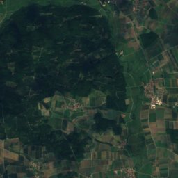
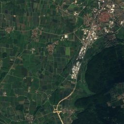
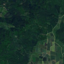
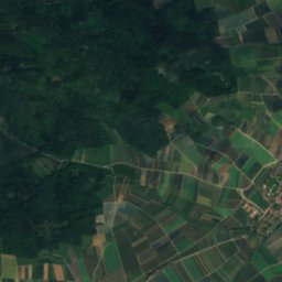
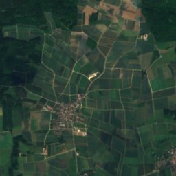
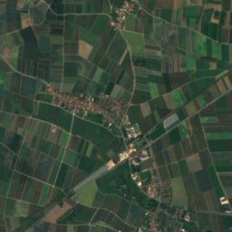
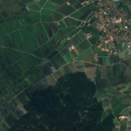
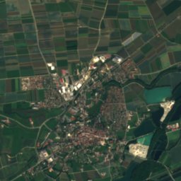
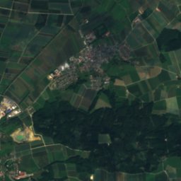
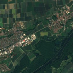
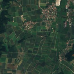
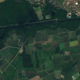
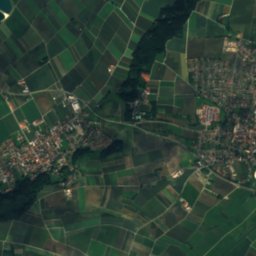
Satellite: Sentinel-2 cloudless 2016 by EOX IT Services GmbH · CC BY 4.0 · Contains modified Copernicus Sentinel data 2016
Egau
Photo: © Freak-Line-Community / Wikimedia Commons · CC BY-SA 3.0 · Wikimedia Commons
EgauReport this photo · linked, not stored
Egau
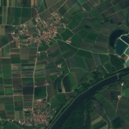
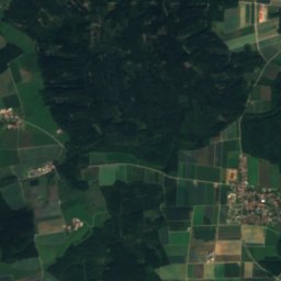
Klosterbach, Bavaria
Photo: Jkü · CC BY 4.0 · Wikimedia Commons
Klosterbach, BavariaReport this photo · linked, not stored
Klosterbach, Bavaria
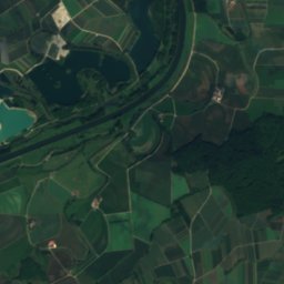
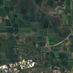
Laugna
Photo: FloausW · CC BY-SA 4.0 · Wikimedia Commons
LaugnaReport this photo · linked, not stored
Laugna
Stauffersberg
Photo: Karlo · Public domain · Wikimedia Commons
StauffersbergReport this photo · linked, not stored
Stauffersberg
RiverBlindheim, Bavaria

Glött

RiverBest Jul–Sep
Elevation–above sea level
Length35 kmsource to mouth
Nearest townBlindheim1.8 km
48.62° N, 10.63° EUTC+1 · Central European Standard Time
When to goBlindheim · weather score
JanFebMarAprMayJunJulAugSepOctNovDec45October
Best timeJul–Sep
October: high / low14° / 5°
River

Glött in brief

Glött is a river in Blindheim, Bavaria, Germany.

The nearest town is Blindheim, 1.8 km to the NW, where the weather is best in July, August and September.

Glött is 35 km long.

Blindheim: weather and travel guide

Weather nearby now

Forecast for Blindheim
9°
Clear now
Wind7 km/h
Humidity88%
Cloud cover2%
Today
27 Oct
15°
5°
Wed
28 Oct
13°
4°
9 mm
Thu
29 Oct
11°
1°
Fri
30 Oct
10°
0°
Sat
31 Oct
10°
1°

Model run 00:00 UTCRefreshed several times a day

When to go

The best months around Glött

Climate of Blindheim

Month score in Blindheim

Comfort, dry days and sunshine · out of 100
20
Jan
27
Feb
27
Mar
59
Apr
63
May
65
Jun
66
Jul
68
Aug
73
Sep
45
Oct
25
Nov
17
Dec
Map

Glött from above

Nature nearbyAll of Germany
Photo: © Freak-Line-Community / Wikimedia Commons · CC BY-SA 3.0 · Wikimedia CommonsReport this photo · linked, not stored
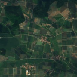
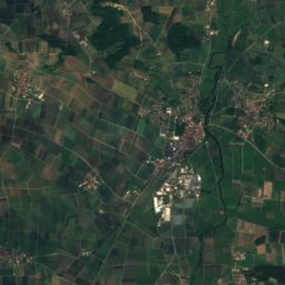
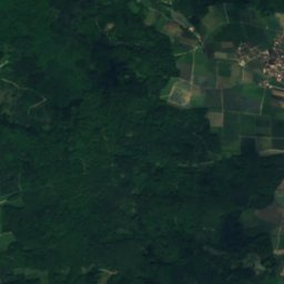
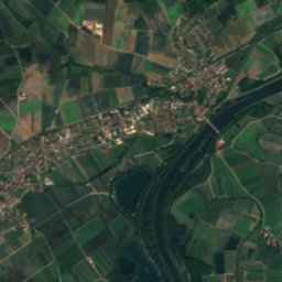
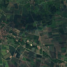
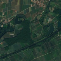
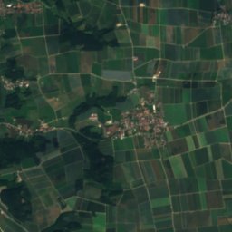
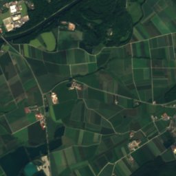
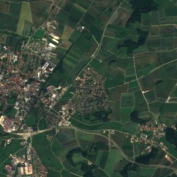
EgauRiver3.6 kmSWEgau
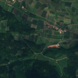
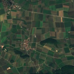
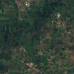
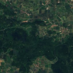
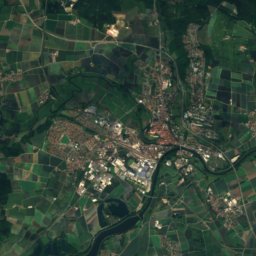
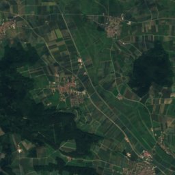
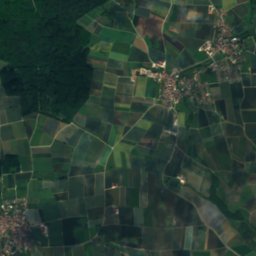
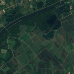
Satellite: Sentinel-2 cloudless 2016 by EOX IT Services GmbH · CC BY 4.0 · Contains modified Copernicus Sentinel data 2016
Pulverbach, BavariaRiver4.3 kmWPulverbach, Bavaria
Photo: Jkü · CC BY 4.0 · Wikimedia CommonsReport this photo · linked, not stored
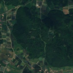
Klosterbach, BavariaRiver5.8 kmNEKlosterbach, Bavaria
Photo: FloausW · CC BY-SA 4.0 · Wikimedia CommonsReport this photo · linked, not stored
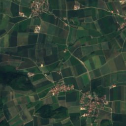
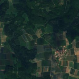
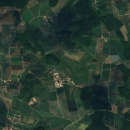
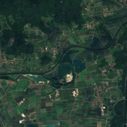
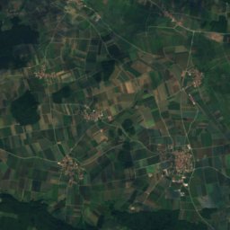
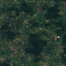
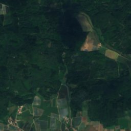
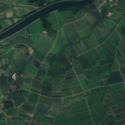
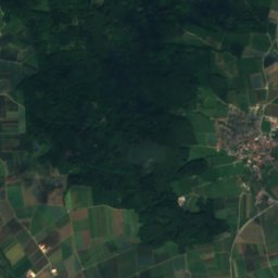
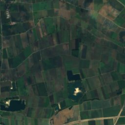
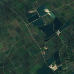
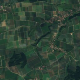
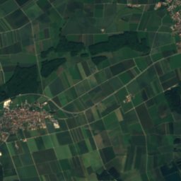
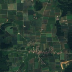
LaugnaRiver7.8 kmSELaugna
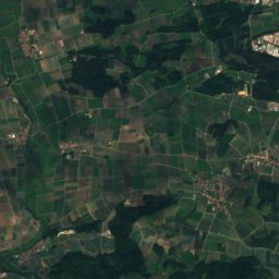
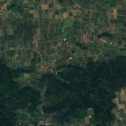
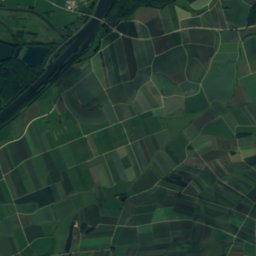
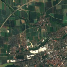
Satellite: Sentinel-2 cloudless 2016 by EOX IT Services GmbH · CC BY 4.0 · Contains modified Copernicus Sentinel data 2016
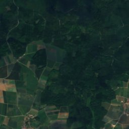
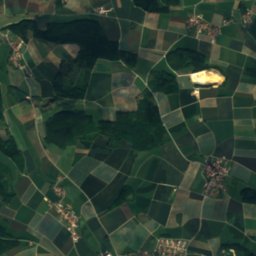
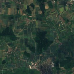
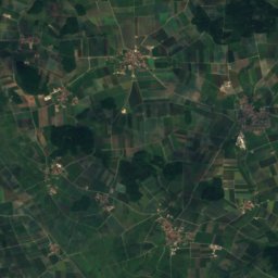
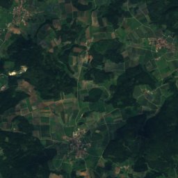
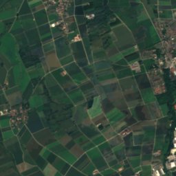
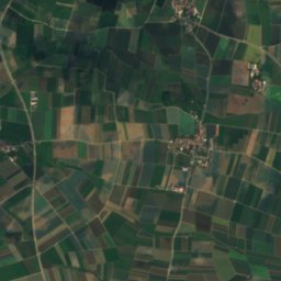
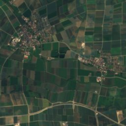
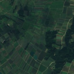
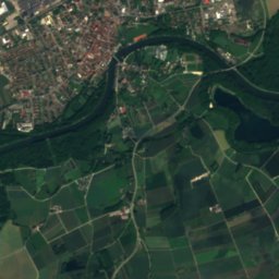
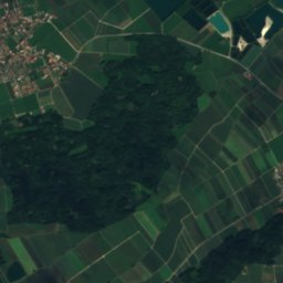
Gießgraben (Zusam)River8.9 kmSGießgraben (Zusam)
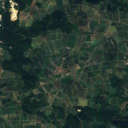
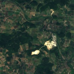
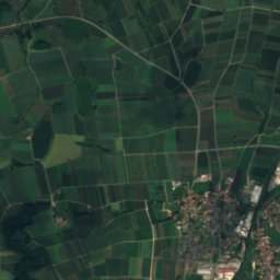
Satellite: Sentinel-2 cloudless 2016 by EOX IT Services GmbH · CC BY 4.0 · Contains modified Copernicus Sentinel data 2016
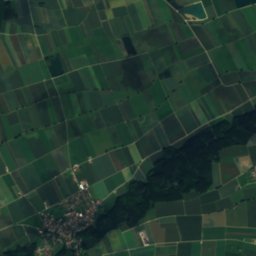
Cultural heritage D-7-7229-0005 in BissingenCave14 kmNCultural heritage D-7-7229-0005 in Bissingen
Summits nearbyMountains of Germany
Photo: Karlo · Public domain · Wikimedia CommonsReport this photo · linked, not stored
Stauffersberg20 km S574 mJuly 24°Stauffersberg
Photo: Kreuzschnabel · CC BY-SA 3.0 · Wikimedia CommonsReport this photo · linked, not stored
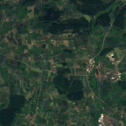
Hühnerberg (Swabia)19 km N570 mJuly 24°Hühnerberg (Swabia)
Satellite: Sentinel-2 cloudless 2016 by EOX IT Services GmbH · CC BY 4.0 · Contains modified Copernicus Sentinel data 2016
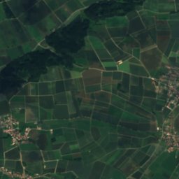
Kalvarienberg in Wörnitzstein14 km NE430 mJuly 25°Kalvarienberg in Wörnitzstein
Stay nearby

Towns close by

Blindheim
Photo: Reinhardhauke · CC BY-SA 3.0 · Wikimedia CommonsReport this photo · linked, not stored

Blindheim

Bavaria · 1.8 km NW
14°Oct high
11wet days
45score
Blindheim
Schwenningen
Photo: GFreihalter · CC BY-SA 3.0 · Wikimedia CommonsReport this photo · linked, not stored

Schwenningen

Bavaria · 3.9 km N
14°Oct high
11wet days
45score
Schwenningen
Höchstädt an der Donau
Photo: GFreihalter · CC BY-SA 3.0 · Wikimedia CommonsReport this photo · linked, not stored

Höchstädt an der Donau

Bavaria · 4.6 km W
14°Oct high
11wet days
45score
Höchstädt an der Donau
Buttenwiesen
Photo: Manfi.B. · CC BY-SA 3.0 · Wikimedia CommonsReport this photo · linked, not stored

Buttenwiesen

Bavaria · 6.6 km E
14°Oct high
11wet days
46score
Buttenwiesen
Around here

Blindheim and around

Blindheim
Photo: Reinhardhauke · CC BY-SA 3.0 · Wikimedia CommonsReport this photo · linked, not stored

Blindheim

Bavaria · Germany
Jul–Sepbest months
25°July high
416 maltitude
Blindheim

Nature

Egau
Photo: © Freak-Line-Community / Wikimedia Commons · CC BY-SA 3.0 · Wikimedia CommonsReport this photo · linked, not stored
4.0 km SW

Egau

River · 414 m
Egau
Klosterbach, Bavaria
Photo: Jkü · CC BY 4.0 · Wikimedia CommonsReport this photo · linked, not stored
5.7 km E

Klosterbach, Bavaria

River
Klosterbach, Bavaria
Laugna
Photo: FloausW · CC BY-SA 4.0 · Wikimedia CommonsReport this photo · linked, not stored
9.6 km SE

Laugna

River
Laugna

Mountains

Ipf
Photo: Kreuzschnabel · CC BY-SA 3.0 · Wikimedia CommonsReport this photo · linked, not stored
33 km NW

Ipf

668 m · Swabian Jura
Ipf
Satellite: Sentinel-2 cloudless 2016 by EOX IT Services GmbH · CC BY 4.0 · Contains modified Copernicus Sentinel data 2016
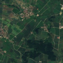
40 km N

Gehäubichel

631 m · Franconian Jura
Gehäubichel
Satellite: Sentinel-2 cloudless 2016 by EOX IT Services GmbH · CC BY 4.0 · Contains modified Copernicus Sentinel data 2016
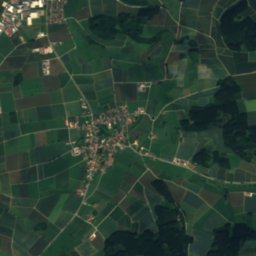
39 km N

Ecklestein

624 m · Franconian Jura
Ecklestein

Heritage

St. Veit (Unterglauheim)
Photo: GFreihalter · CC BY-SA 3.0 · Wikimedia CommonsReport this photo · linked, not stored
2.3 km NW

St. Veit (Unterglauheim)

architectural heritage monument in Bavaria · 1920
St. Veit (Unterglauheim)
Pfarrhaus, Blindheim
Photo: Reinhardhauke · CC BY-SA 3.0 · Wikimedia CommonsReport this photo · linked, not stored
0.2 km W

Pfarrhaus, Blindheim

architectural heritage monument in Bavaria
Pfarrhaus, Blindheim
Simonsmühle
Photo: Lydia · CC BY-SA 3.0 · Wikimedia CommonsReport this photo · linked, not stored
0.8 km N

Simonsmühle

architectural heritage monument in Bavaria
Simonsmühle

Museums

Heimathaus Blindheim
Photo: Reinhardhauke · CC BY-SA 3.0 · Wikimedia CommonsReport this photo · linked, not stored
0.3 km W

Heimathaus Blindheim

Local museum · 1998
Heimathaus Blindheim
Museum Deutscher Fayencen
Photo: Rikiwiki2 · CC BY-SA 4.0 · Wikimedia CommonsReport this photo · linked, not stored
4.1 km SW

Museum Deutscher Fayencen

Ceramics museum
Museum Deutscher Fayencen
Radio- und Telefonmuseum Wertingen
Photo: Jkü · CC BY 4.0 · Wikimedia CommonsReport this photo · linked, not stored
8.8 km SE

Radio- und Telefonmuseum Wertingen

Technology museum · 2012
Radio- und Telefonmuseum Wertingen