Skip to content
Destinations
Weather & climate
Nature
Outdoors
Culture
Events
Sky & live
Gera
Photo: Michael Sander · CC BY-SA 3.0 · Wikimedia Commons
GeraReport this photo · linked, not stored
Schmale Gera
Photo: Florean Fortescue · Public domain · Wikimedia Commons
Schmale GeraReport this photo · linked, not stored
Schmale Gera
Gramme
Photo: ProfessorX · CC BY-SA 3.0 · Wikimedia Commons
GrammeReport this photo · linked, not stored
Gramme
Alperstedter See
Photo: Steffen Prößdorf · CC BY-SA 4.0 · Wikimedia Commons
Alperstedter SeeReport this photo · linked, not stored
Alperstedter See
Erfurter Seen
Photo: Michael Sander · CC BY-SA 3.0 · Wikimedia Commons
Erfurter SeenReport this photo · linked, not stored
Erfurter Seen
RiverGebesee, Thuringia

Gera

RiverBest May · Aug–Sep
Elevation–above sea level
Length85 kmsource to mouth
Nearest townGebesee1.4 km
51.13° N, 10.93° EUTC+1 · Central European Standard Time
When to goGebesee · weather score
JanFebMarAprMayJunJulAugSepOctNovDec47October
Best timeMay · Aug–Sep
October: high / low14° / 6°
River

Gera in brief

Gera is a river in Gebesee, Thuringia, Germany.

The nearest town is Gebesee, 1.4 km to the S, where the weather is best in May, August and September.

Gera is 85 km long.

Gebesee: weather and travel guide

Weather nearby now

Forecast for Gebesee
9°
Cloudy now
Wind7 km/h
Humidity90%
Cloud cover89%
Today
30 Oct
11°
5°
Sat
31 Oct
11°
6°
1 mm
Sun
1 Nov
8°
4°
1 mm
Mon
2 Nov
8°
3°
Tue
3 Nov
8°
3°

Model run 12:00 UTCRefreshed several times a day

The course of the river

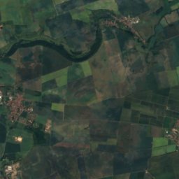
As mapped in OpenStreetMap, with the towns along its banks.
123456789101112
  1. 1Plaue326 m
  2. 2Arnstadt274 m
  3. 3Dornheim288 m
  4. 4Thörey252 m
  5. 5Ingersleben232 m
  6. 6Erfurt194 m
  7. 7Elxleben162 m
  8. 8Walschleben163 m
  9. 9Andisleben155 m
  10. 10Ringleben149 m
  11. 11Haßleben153 m
  12. 12Gebesee153 m
sourcemouth (or where the mapped line leaves the country)
When to go

The best months around Gera

Climate of Gebesee

Month score in Gebesee

Comfort, dry days and sunshine · out of 100
18
Jan
26
Feb
25
Mar
59
Apr
68
May
67
Jun
65
Jul
69
Aug
73
Sep
47
Oct
22
Nov
15
Dec
Map

Gera from above

Nature nearbyAll of Germany
Photo: Florean Fortescue · Public domain · Wikimedia CommonsReport this photo · linked, not stored
Schmale GeraRiver5.7 kmNESchmale Gera
Photo: ProfessorX · CC BY-SA 3.0 · Wikimedia CommonsReport this photo · linked, not stored
GrammeRiver7.9 kmEGramme
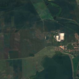
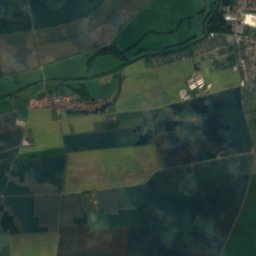
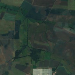
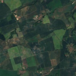
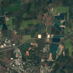
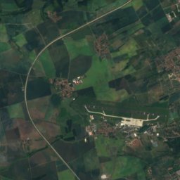
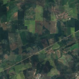
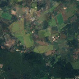
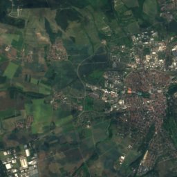
Satellite: Sentinel-2 cloudless 2016 by EOX IT Services GmbH · CC BY 4.0 · Contains modified Copernicus Sentinel data 2016
VippachRiver8.8 kmEVippach
Photo: Steffen Prößdorf · CC BY-SA 4.0 · Wikimedia CommonsReport this photo · linked, not stored
Alperstedter SeeLake9.4 kmSEAlperstedter See
Photo: Michael Sander · CC BY-SA 3.0 · Wikimedia CommonsReport this photo · linked, not stored
Erfurter SeenLake12 kmSEErfurter Seen
Photo: CTHOE · CC BY-SA 3.0 · Wikimedia CommonsReport this photo · linked, not stored
TonnaRiver15 kmWTonna
Summits nearbyMountains of Germany
Photo: Krajo · CC BY-SA 3.0 · Wikimedia CommonsReport this photo · linked, not stored
Possen24 km N432 mJuly 23°Possen
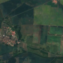
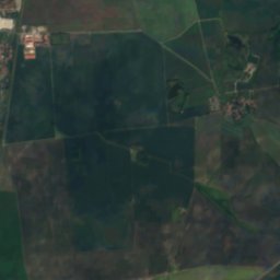
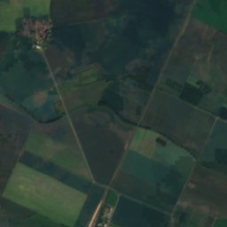
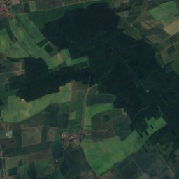
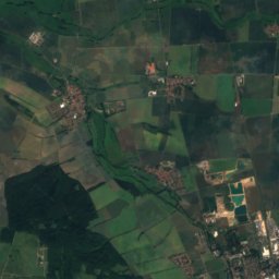
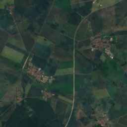
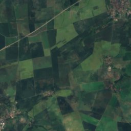
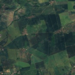
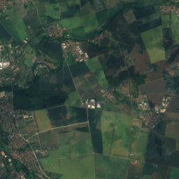
Satellite: Sentinel-2 cloudless 2016 by EOX IT Services GmbH · CC BY 4.0 · Contains modified Copernicus Sentinel data 2016
Alacher Höhe14 km S329 mJuly 24°Alacher Höhe
Photo: Thuringius · Public domain · Wikimedia CommonsReport this photo · linked, not stored
Schwellenburg11 km S227 mJuly 25°Schwellenburg
Stay nearby

Towns close by

Gebesee
Photo: Michael Sander · CC BY-SA 3.0 · Wikimedia CommonsReport this photo · linked, not stored

Gebesee

Thuringia · 1.4 km S
14°Oct high
11wet days
47score
Gebesee
Ringleben
Photo: Michael Köhler · CC BY 4.0 · Wikimedia CommonsReport this photo · linked, not stored

Ringleben

Thuringia · 3.3 km SE
14°Oct high
11wet days
47score
Ringleben
Schwerstedt
Photo: Michael Köhler · CC BY 4.0 · Wikimedia CommonsReport this photo · linked, not stored

Schwerstedt

Thuringia · 3.3 km N
14°Oct high
11wet days
47score
Schwerstedt
Andisleben
Photo: http://www.bachueberbach.de/ · CC BY-SA 4.0 · Wikimedia CommonsReport this photo · linked, not stored

Andisleben

Thuringia · 4.9 km S
14°Oct high
11wet days
48score
Andisleben
Around here

Gebesee and around

Gebesee
Photo: Michael Sander · CC BY-SA 3.0 · Wikimedia CommonsReport this photo · linked, not stored

Gebesee

Thuringia · Germany
May · Aug–Sepbest months
25°July high
153 maltitude
Gebesee

Nature

Gramme
Photo: ProfessorX · CC BY-SA 3.0 · Wikimedia CommonsReport this photo · linked, not stored
8.1 km NE

Gramme

River
Gramme
Schmale Gera
Photo: Florean Fortescue · Public domain · Wikimedia CommonsReport this photo · linked, not stored
6.1 km NE

Schmale Gera

River
Schmale Gera
Alperstedter See
Photo: Steffen Prößdorf · CC BY-SA 4.0 · Wikimedia CommonsReport this photo · linked, not stored
8.4 km SE

Alperstedter See

Lake · 157 m
Alperstedter See

Mountains

Willinger Berg
Photo: Nadine Machalett · CC BY-SA 4.0 · Wikimedia CommonsReport this photo · linked, not stored
39 km S

Willinger Berg

502 m · Ilm-Saale-Platte
Willinger Berg
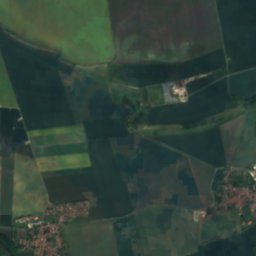
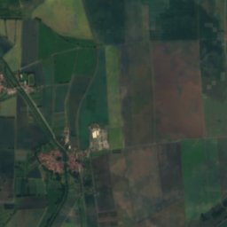
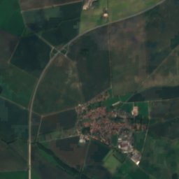
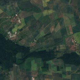
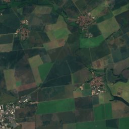
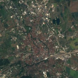
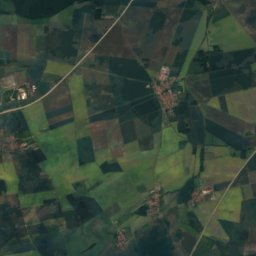
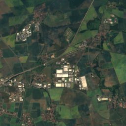
Satellite: Sentinel-2 cloudless 2016 by EOX IT Services GmbH · CC BY 4.0 · Contains modified Copernicus Sentinel data 2016
25 km SE

Großer Ettersberg

482 m · Ettersberg
Großer Ettersberg
Kulpenberg
Photo: Kora27 · CC BY-SA 4.0 · Wikimedia CommonsReport this photo · linked, not stored
34 km N

Kulpenberg

474 m · Kyffhäuser
Kulpenberg

Heritage

St. Laurentius (Gebesee)
Photo: Michael Sander · CC BY-SA 3.0 · Wikimedia CommonsReport this photo · linked, not stored
0.5 km E

St. Laurentius (Gebesee)

Heritage monument in Thuringia
St. Laurentius (Gebesee)
Schloss Gebesee
Photo: Michael Sander · CC BY-SA 3.0 · Wikimedia CommonsReport this photo · linked, not stored
0.2 km NW

Schloss Gebesee

Kulturdenkmal
Schloss Gebesee
Katharinenkirche Gebesee
Photo: Michael Sander · CC BY-SA 3.0 · Wikimedia CommonsReport this photo · linked, not stored
0.2 km NW

Katharinenkirche Gebesee

Heritage monument in Thuringia
Katharinenkirche Gebesee

Museums

Archäologisches Freilichtmuseum Funkenburg
Photo: Jemibabe · CC BY-SA 3.0 · Wikimedia CommonsReport this photo · linked, not stored
14 km N

Archäologisches Freilichtmuseum Funkenburg

Open-air museum
Archäologisches Freilichtmuseum Funkenburg
Local history museum of the city of Greußen
Photo: Michael Sander · CC BY-SA 3.0 · Wikimedia CommonsReport this photo · linked, not stored
13 km N

Local history museum of the city of Greußen

Local history museum of the city of Greußen
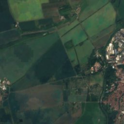
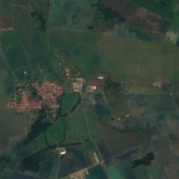
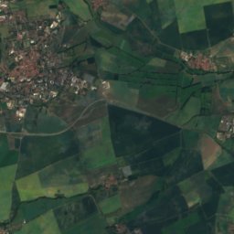
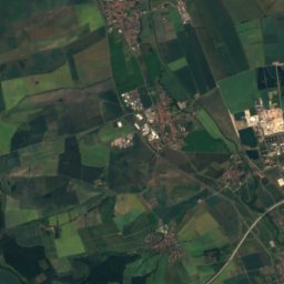
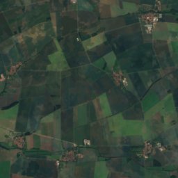
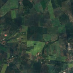
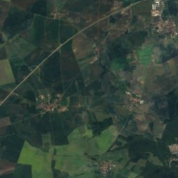
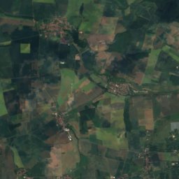
Satellite: Sentinel-2 cloudless 2016 by EOX IT Services GmbH · CC BY 4.0 · Contains modified Copernicus Sentinel data 2016
6.8 km SW

Dorfmuseum Dachwig

2000
Dorfmuseum Dachwig